| Tropical Cyclones |
|
|
|
|||||||||||||
|
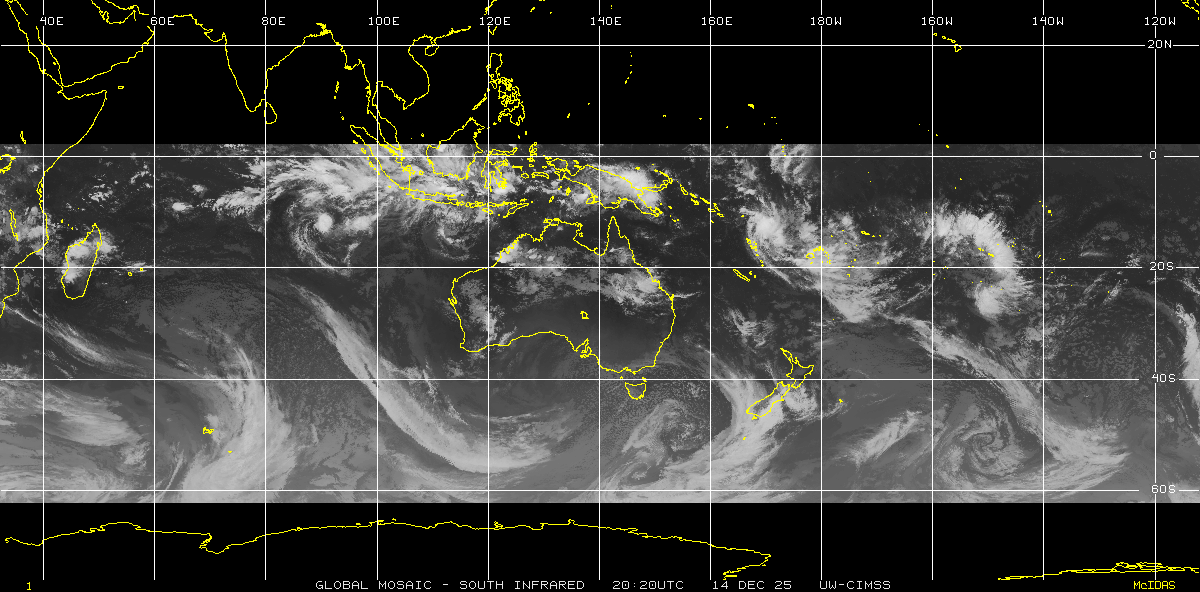
2014/15 season Operational Tropical Cyclone Warnings and tracking maps Tropical Cyclone Quang, AU/SIO [28 April - 1 May 2015] JTWC Warnings and Track Tropical Cyclone Joalane, SIO [from 6 April 2015] - JTWC Warnings and Track Tropical Cyclone Solo, AU/SPAC [10 - 12 April 2015] - JTWC Warnings and Track Tropical Cyclone Ikola, AU/SIO [5 - 8 April 2015] - JTWC Warnings and Track Tropical Cyclone Nathan, AU/SPAC/SIO [10 - 24 March 2015] - JTWC Warnings and Track Tropical Cyclone Reuben, SPAC [21 - 23 March 2015] - JTWC Warnings and Track Tropical Cyclone Pam, AU/SPAC [9 - 15 March 2015] - JTWC Warnings and Track Tropical Cyclone Olwyn, AU/SIO [11 - 13 March 2015] - JTWC Warnings and Track Tropical Cyclone Haliba, SIO [8 - 10 March 2015] - JTWC Warnings and Track Tropical Cyclone Fifteen, SIO [5 - 7 March 2015] - JTWC Warnings and Track Tropical Cyclone Glenda, SIO [24 - 28 February 2015] - JTWC Warnings and Track Tropical Cyclone Marcia, AU/SPAC [18 - 20 February 2015] - JTWC Warnings and Track Tropical Cyclone Lam, AU/SPAC [16 - 19 February 2015] - JTWC Warnings and Track Tropical Cyclone Fundi, SIO [6 - 8 February 2015] - JTWC Warnings and Track Tropical Cyclone Ola, AU/SPAC [30 January - 3 February 2015] - JTWC Warnings and Track Tropical Cyclone Eunice, SIO [from 27 January - 2 February 2015] - JTWC Warnings and Track Tropical Cyclone Diamondra, SIO [26 - 29 January 2015] - JTWC Warnings and Track Tropical Cyclone Niko, SPAC [20 - 24 January 2015] - JTWC Warnings and Track Tropical Cyclone Chedza, SIO [16 - 18 January 2015] - JTWC Warnings and Track Tropical Cyclone Bansi, SIO [from 11 - 18 January 2015] - JTWC Warnings and Track
Region Advisories and Notes: |
Complete to end of 2012/13 season Season Summary and Individual Tropical Cyclone Track Maps Operational data includes all tropical cyclones, tropical lows, tropical depressions and hybrid lows the various tropical cyclone warning agencies issued warnings and advisories for. Season and individual tracks are available from the 1997/98 season onwards.
Information about the Southern Hemispshere basins and tropical cyclone intensities are available here. Listing of all tropical storms: [Operational Data]
Global Tracks and Summaries:
|
||||||||||||
Tropical Cyclone Resources
Southern Hemisphere Tropical Cyclone Warning Agencies :
Other Resources:
Global Tropical Cyclone Terminology by Gary Padgett
|
Historical Tropical Cyclone Tracks
For historical tropical cyclone information scroll down the page to access over 3,100 individual and over 400 season tracks plotted on Google Maps. This website has the most comprehensive database of tropical storm tracks for the southern hemisphere.
Listings of all tropical cyclones: [BoM data] [JTWC data]
View the Plotting Notes which define the southern hemisphere warning regions, and compare the Australian tropical cyclone intensity scale with the US Saffin/Simpson Hurricane intensity scale.
Google Maps are utilised which allows you to change the map background and zoom into areas of interest. Click the markers on the season maps to load individual maps or select from the tables. You can also toggle on and off the markers, lat/long grid or date labels.
|
||||||||||||
|
Acknowledgements:
Southern Hemisphere Tropical Cyclone tracks developed by Michael Bath. If you have any comments, suggestions for new maps, requests for custom maps or data, or other ideas please contact me.
BoM data and warnings obtained from the Bureau of Meteorology, Melbourne.
|
|||||||||||||
|
Document: index.html
Updated: 16 June 2015 |
|
[Australian Severe Weather index] [Copyright Notice] [Email Contacts] [Search This Site] [Privacy Policy] |