21st December 2009 Putty chase part 2 The Putty - Singleton supercell
All photographs from this chase:
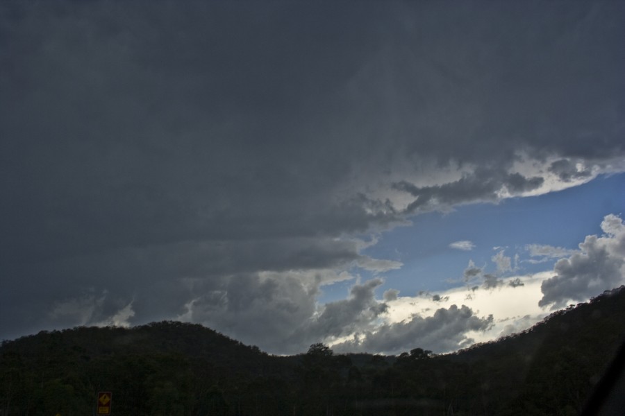
http://www.australiasevereweather.com/photography/photos/2009/jd20091221.htmlMeanwhile a cell near Colo Heights although looking not so impressive certainly was dropping more bolts it seemed. It was a matter of timing and we finally had to make the move to remain in contact with this cell. We passed through large hailstones that may have been up to 3 to 4cm by the sound of the hits on the vehicle but never measured and rather isolated. This is confirmed by the excited calls of large hailstones on the ground by Imelda and Kimberly (Jimelle had no comment):
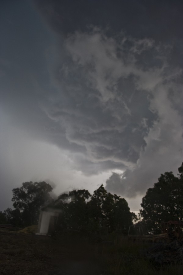
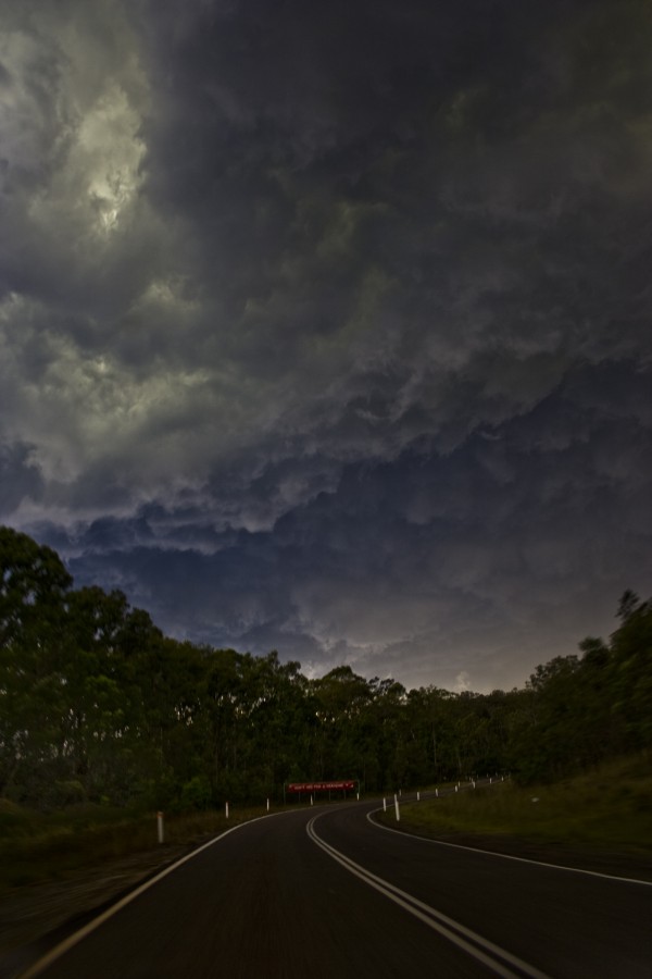
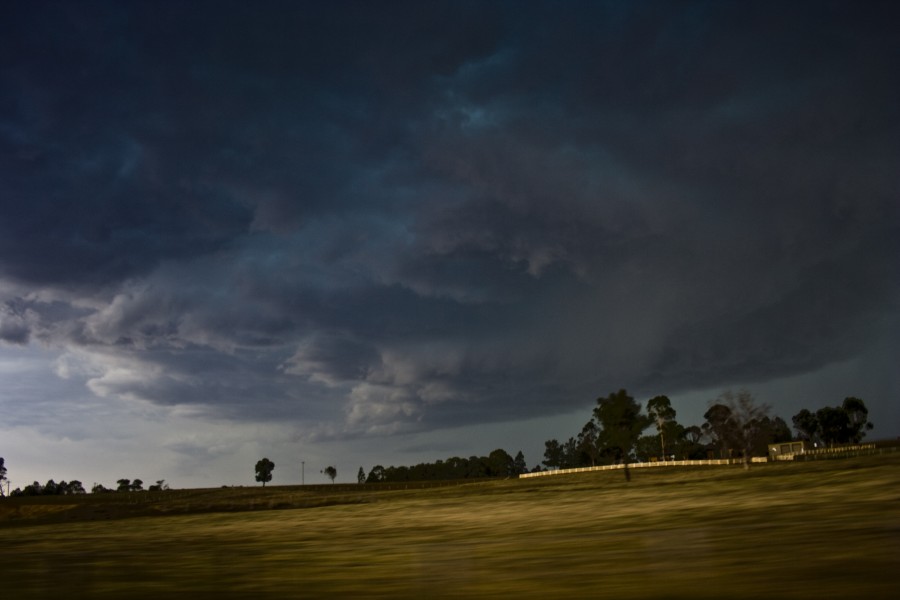
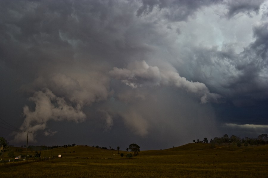
This image shows the beginning of the Putty Road cell as it intensified
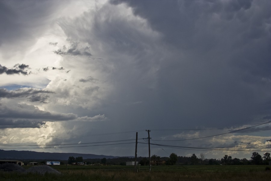
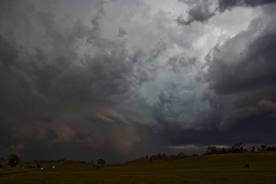
On the Putty Road, this cell showed an extensive base and some structure as well as the infamous green tinge effect:
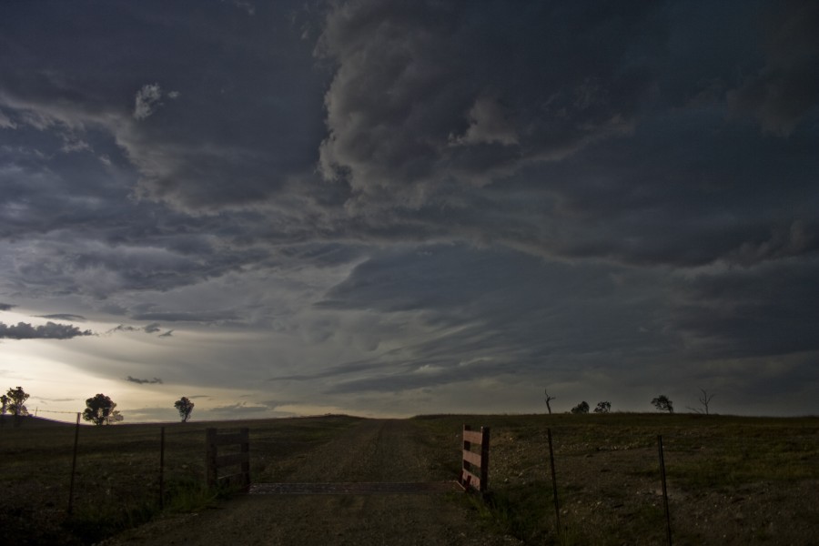
This looking west
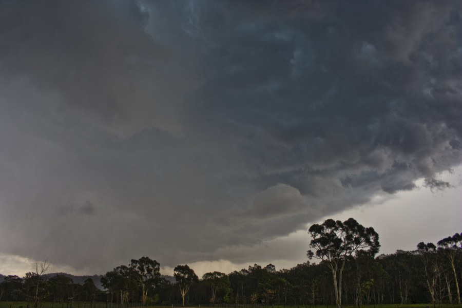
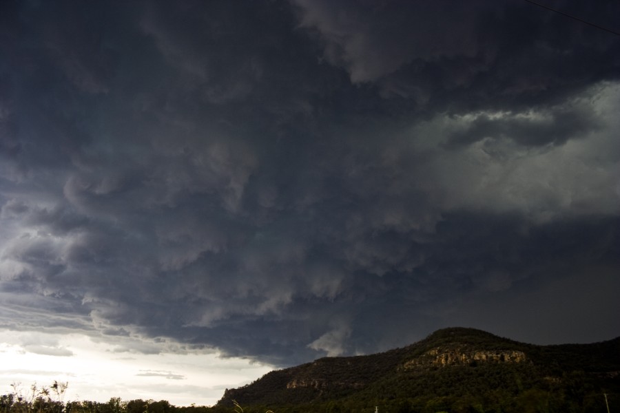
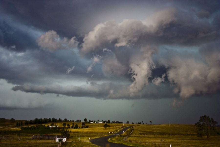
This looking east which is where the main core was - looks like a mesocyclone
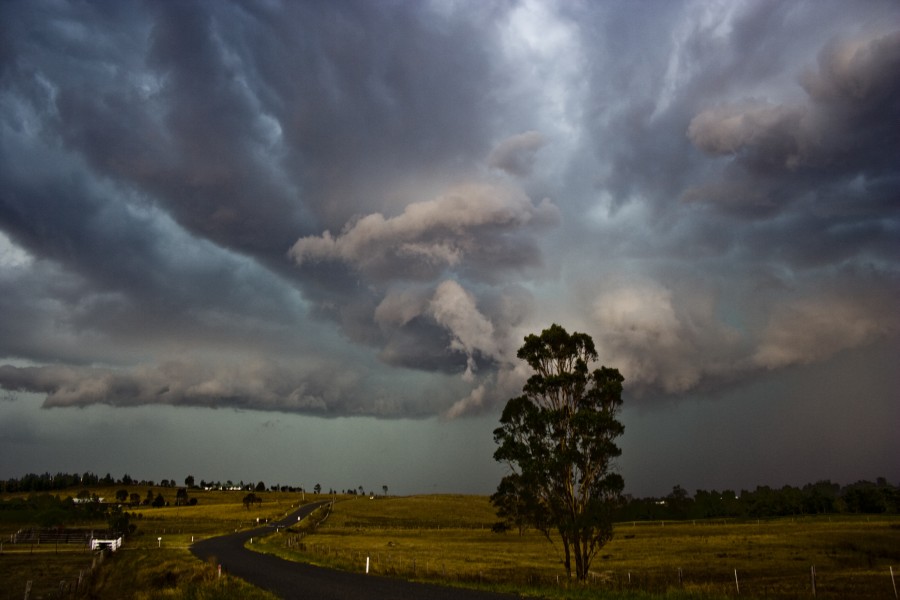
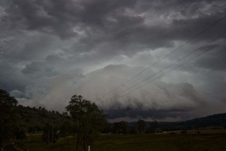
Near Putty, the structur was further north but we sampled the core with hail up to 3cm in diameter:
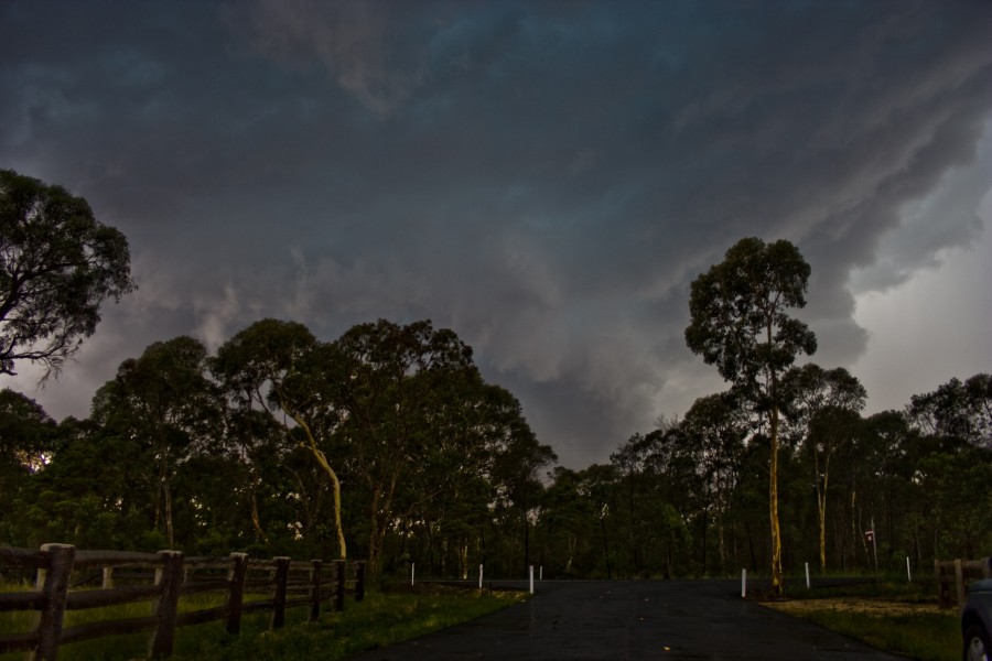
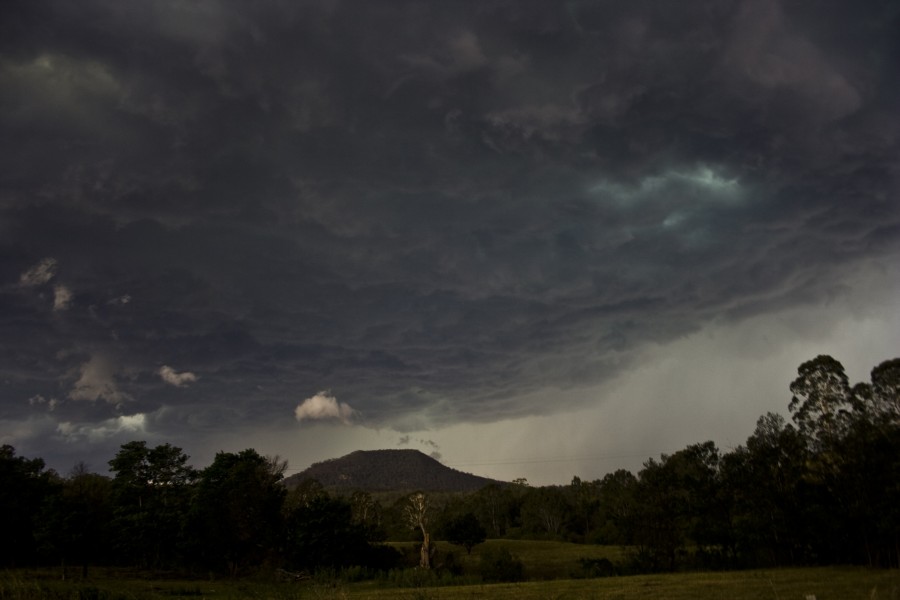
Further north near Howes Valley, a spectacular and rather large base greeted us:
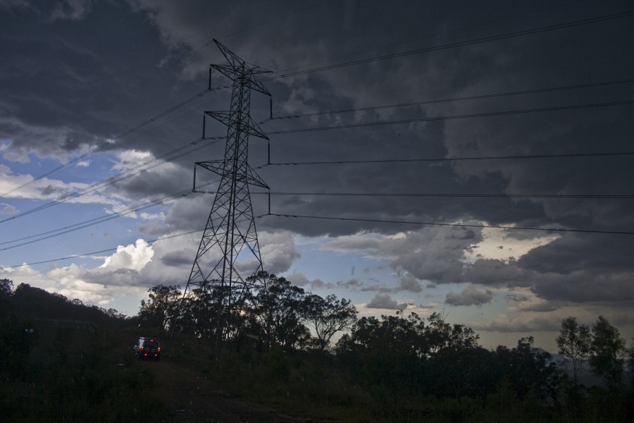
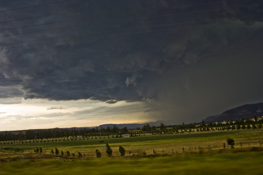
As we neared and exited the jungle around Bulga, the storm was quite orgnised despite being outflow dominant
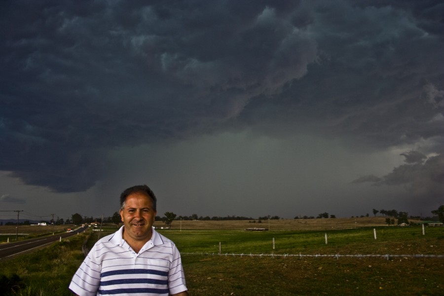
Finally south of Singleton, we watched as the cell went through a transition from what looked like a slightly weakening phase to another updraft to the east of the main core:

North of Singleton, the transition was already in effect, the new core and associated base extended east of the original core:
Inflow stingers can be seen in this shot as well as a thick extensive anvil:
The scud here was entering a circulation which was visible with the naked eye
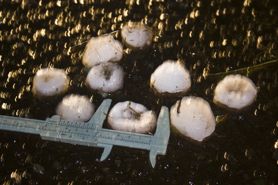
Hail core that dropped 5cm hailstones:
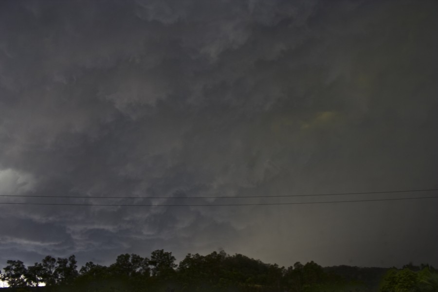
Storm finally in weakening phase
Hailstones posted by Nick Moir earlier - but here is what I could salvage without tripod - I am pretty certain the caliper was opened to 5cm
Regards,
Jimmy Deguara


