Abstract from the Bureau of Meteorology report (released in February 1992) on this event:
"A severe thunderstorm outbreak occurred over north-eastern NSW on 6 November 1989. A visit was made to the most seriously affected area. Three tornado paths were identified and the most intense tornado was assigned a Fujita rating of F3, placing it among the most intense tornadoes on record in Australia. The meteorological setting for the episode is described. Dry mid-tropospheric air and very strong wind shear through the lower half of the troposphere were both present at the time of the storms. Evidence suggesting that the tornadic thunderstorm was a supercell storm is described. An argument which suggests that the Fujita scheme may have underestimated the intensity of the strongest tornado is also presented."
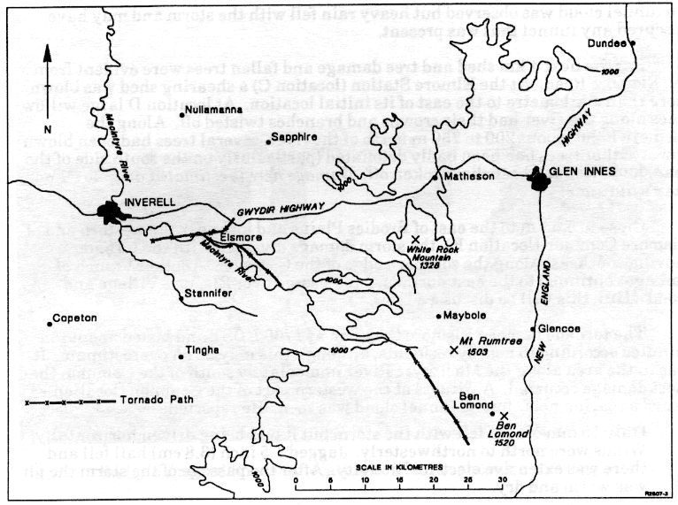
Some figures scanned from the report1. Location of the three tornadoes
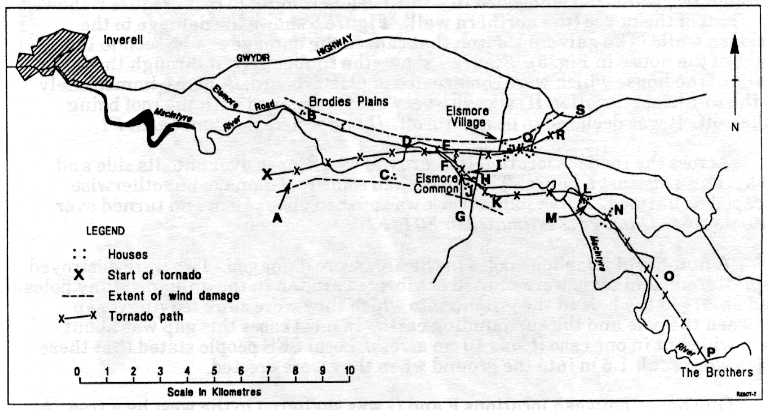
2. Tracks of the two tornadoes in the Elsmore area
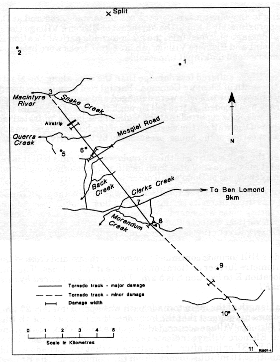
3. Track of the tornado in the Ben Lomond area
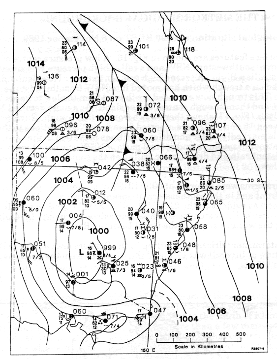
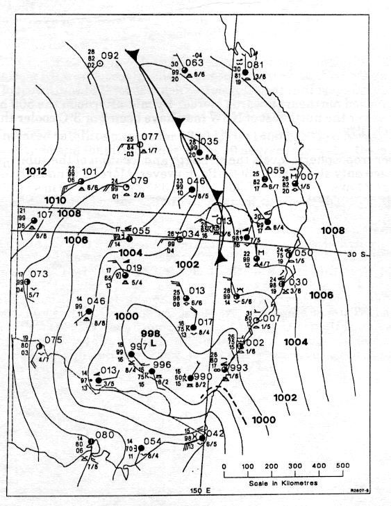
4. MSL analysis at 9am EDT and 3pm EDT
Some additional data I've gathered from the internet.
GFS run 06/11/1989 06zInstability:
Lifted IndexRelative Humidity:
0300 /
0500 /
0600 /
0700 /
0850 /
1000Temperature:
0300 /
0500 /
0700 /
0850 /
1000Winds (knots):
0300 /
0500 /
0600 /
0700 /
0850 /
0925 /
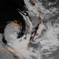
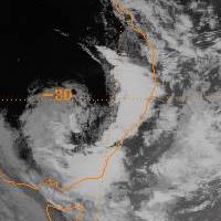
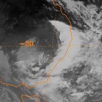
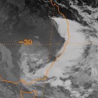
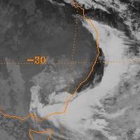
1000IR Satpics from 05th Nov 18z to 06th Nov 15z in 3 hour increments.
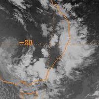
18z (5am EDT)
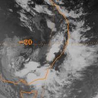
21z (8am EDT)
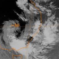
00z (11am EDT)
03z (2pm EDT)
06z (5pm EDT)
09z (8pm EDT)
12z (11pm EDT)
15z (2am EDT)
Regards, Michael


