An upper trough was progged for some time to surge through the eastern states of NSW and across the border to south central Queensland coastline. On the 7th October, storms developed across the NSW coastline and south central Queensland. A storm went severe in the greater Sydney region. Overnight more storms developed including a band of severe storms that congealed into a major squall line in SE Qld including a HP supercell near Gladstone. A spectacular event!
Storm Chase 7th October 2011
I decided to remain in Sydney to watch storms that might develop locally. Given the windshear profile and particularly the lower 3km level shear between 06Z and 09Z was favourable for interesting lower level features.
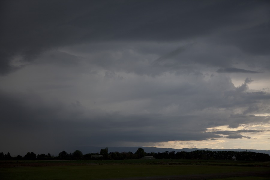
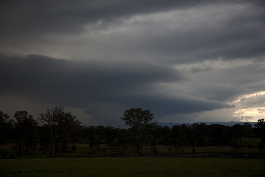
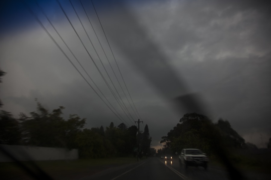
One storm in particular developed over the eastern ranges with more cells developing closer to Penrith. This partiuclar cell eventually tracked northeast towards Colo Heights. I intercepted the cell near Windsor and then gradually found a position near Glossodia. The cell exhibited intersting base features and become more electrically active than most other cells. Very heavy rainfall fell from this cell that eventually collapsed to produce a cell along the forward flank that went severe.
Near Windsor
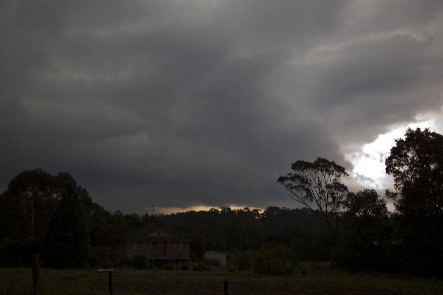
From Glossodia
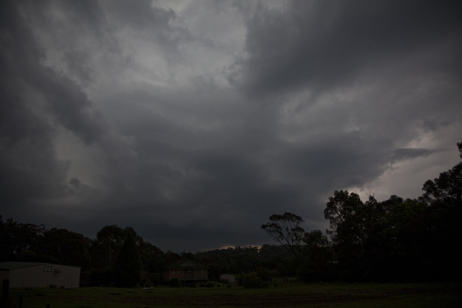
Storm Chase 8th October 2011
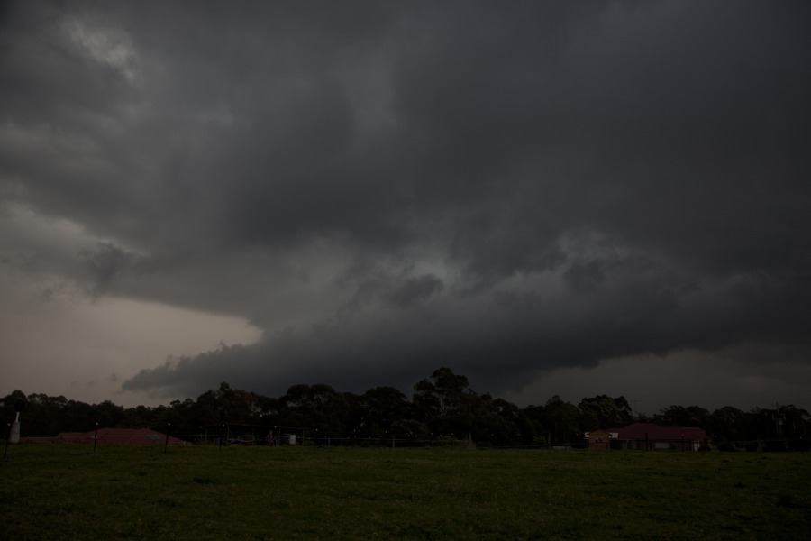
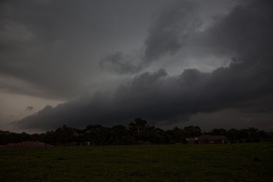
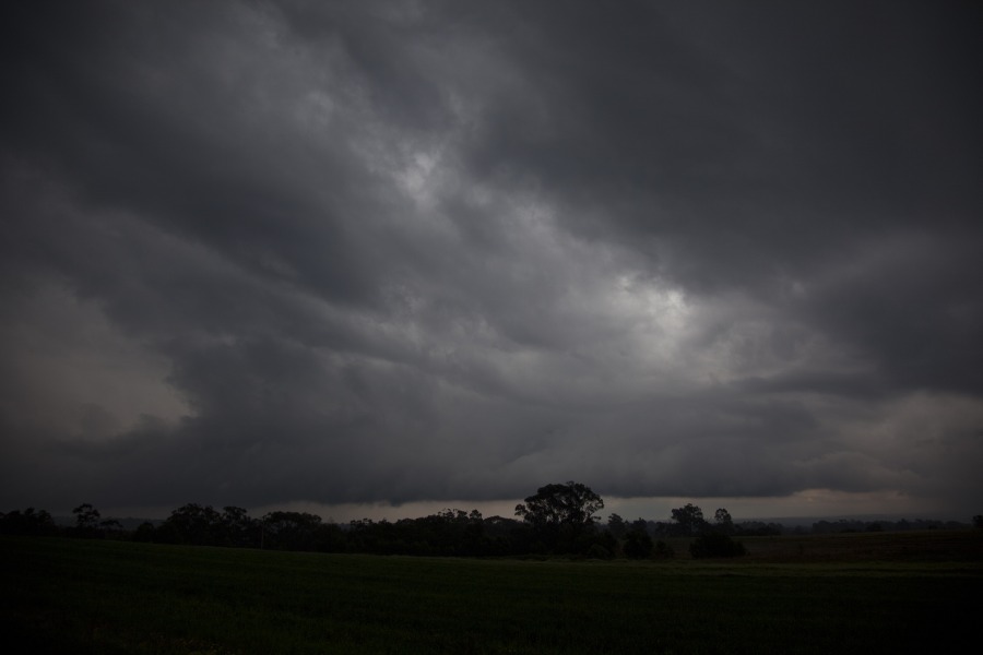
Once again, I had decided to remain in Sydney for this event given the deep moisture had already built in the Sydney basin. As the morning wore on, a few showers developed around the Sydney basin. The cold air axis with -20C nearing Sydney/Wollongong was meant to pass over between 03 and 06Z (2pm to 5pm). Almost on cue, the atmosphere began to organise with a boundary between Camden and Penrith being the focus for the first main development. David C and I were in contact all morning and David once again alerted me to the Horsley Park cell developing. Another cell which was the one I was watching had developed near Blacktown within the unstable air environment. This cell had a sufficient rainfree base for me to position myself slightly closer. After brief stop near Quakers Hill, I headed into the storm to see if any hail may have been falling though mostly expecting heavy rain from this development. the heavy rain was in the region near Parklea and further east and south nearer Blacktown. Shortly after, I turned for home. The continuous build up of electrical activity towards the Rouse Hill area lured me to the storm once again. Interestingly, the rain was so focused that a creek separated the heavy rainfall from lighter rainfall.
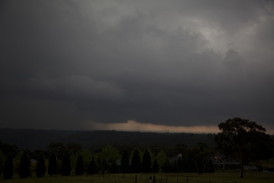
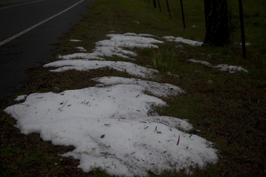
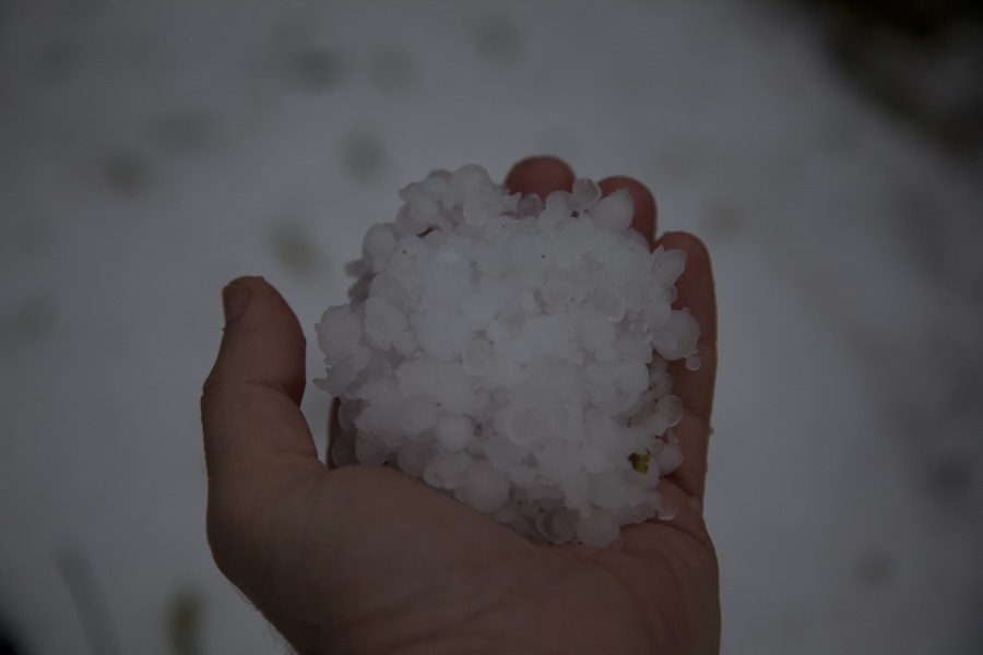
It was chaos on Windsor Road. Cars were stopped along the side of the road. Suddenly a barrage of pea sized hailstones near the intersection of Windsor Road and Old Windsor road - lightning bolts could be observed through the rain core to the east. After making Castle Hill, I headed north along the Northern Road. David C and Nick Moir confirmed this decision. I was fully aware of the difficulty to photograph in this region but you forget just how many trees there were and of course it also depended on the direction. I eventually recalled one spot north of Dural where I coudl photograph the base structure. By this time it seemed the storm had either dumped heavy precipitation or from the core or redeveloped further north. This storm was once again into the marginally severe criteria but moreso multicellular in behaviour. After venturing up to Maroota, and a few more pictures of the shelf cloud/base, I finally photographed hailstones washed into piles on the side of the road near Maraylia.
Regards,
Jimmy Deguara


