and Chasing
[Index][Archives]
High CAPE and extreme heat overcomes the cap near Gunnedah and Breeza Plains: Thursday 12th January 2006
Report compiled by Jimmy Deguara and Michael Bath
| Storm News and Chasing [Index][Archives] |
High CAPE and extreme heat overcomes the cap near Gunnedah and Breeza Plains: Thursday 12th January 2006 Report compiled by Jimmy Deguara and Michael Bath |
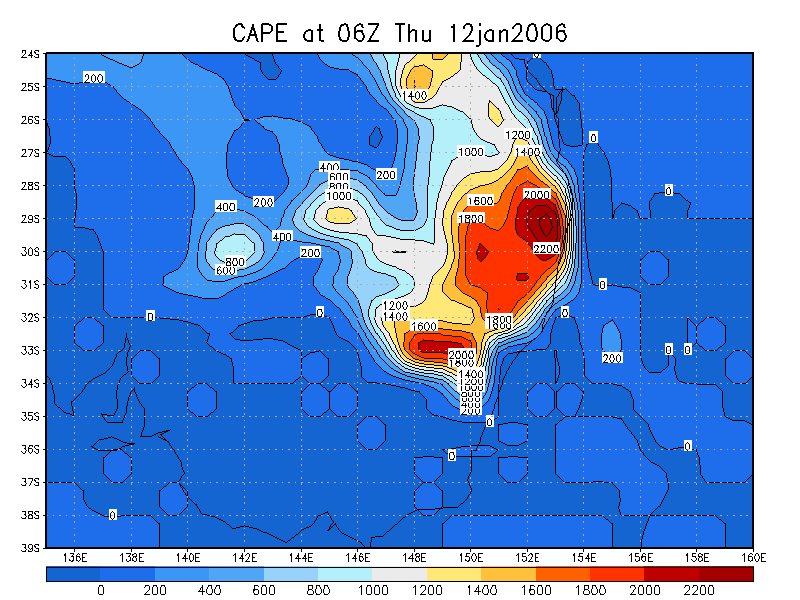
Having chased the evening prior with a great lightning show and staying overnight at Dunedoo, it was an ideal location for the target region of Gunnedah. This was to be the real chase event! CAPE values were of the order of just under 2000J/kg according to the models and given a moderate wind shear environment, these storms could provide a surprise. With dew points nearing 20C, they merely faded to 18C despite the 37C heat! Obviously re-adjustments of the CAPE values due to local influences based on the underestimated temperatures would have provided CAPE values in excess of 2000J/kg. My main target was to remain as south as possible to take advantage of some wind aloft with velocities at 700hPa and 500hPa level of 25 knots generally from the west.
Having arrived in Mullaley by 11am, it was going to be a wait. Knowing that eating could be disrupted later I planned on a good meal and stocked up with sufficient drink and water. After all, 37C temperatures with 18C dewpoints were not the most pleasant conditions.
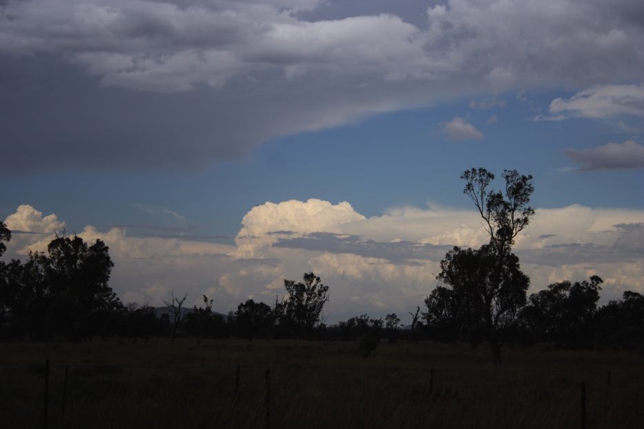
A cumulus field had developed and even the odd glaciation of weak towers were evident to the southwest and even west. None of these dominated. Westerly winds sent the alarm bells ringing - dew points were set to drop. I headed east but the dew points maintained! This was astonishing and is what makes 2005/2006 summer an unusual one. The dew points have maintained or not dropped significantly despite westerly or north-westerly winds!
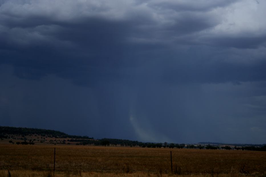
On arrival at Gunnedah, I was disgusted to find a powerful updraft to the west in close proximity to Mullaley. This did not maintain its impressive structure. This was the crucial period - should these storms remain the target or other less impressive storms to the north producing microbursts? I decided to stick to the target and simply re-located west of Gunnedah and waited. It remained extremely uncomfortable. Each successive tower struggled to my west - there were ample cumulus congestus towers - none wanted to break through.
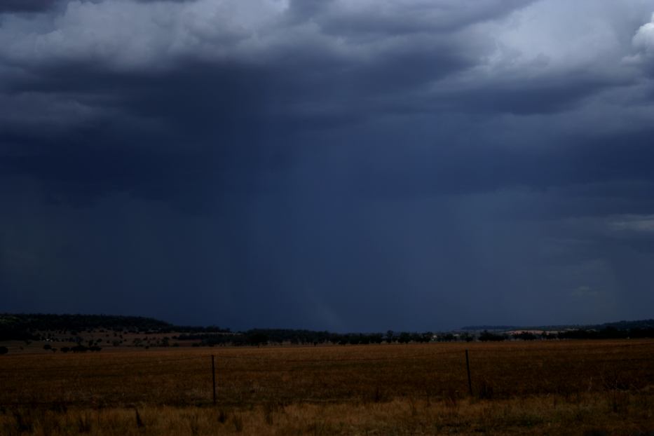
After a few dust devils provided some entertainment, I noted one particular tower slightly more crisp than others. Once it broke through, it was time to venture down one of the roads to be in contact with its development and to be rid of the sun for improved contrast. Low and behold - the cap was finally surrendering. The show was about to begin!
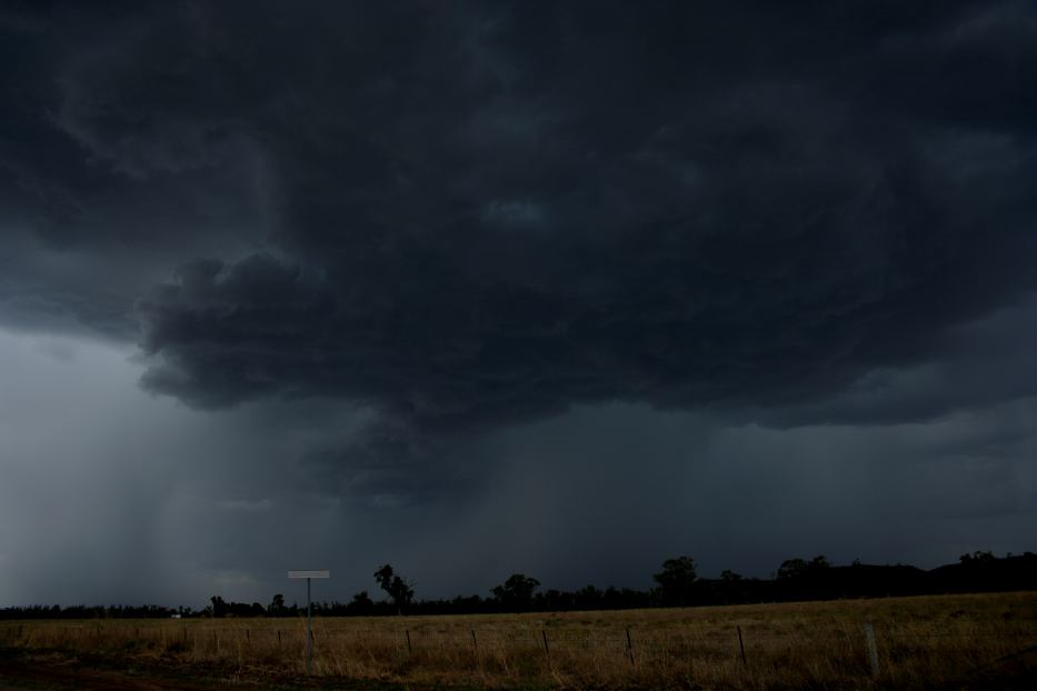
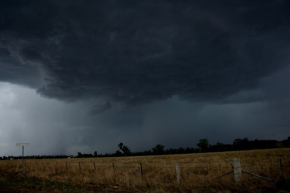
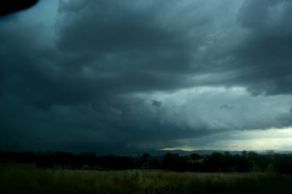
The storm was high based but the base was extensive. At least briefly it would provide a reasonable show. The first downdraft helped a mini-barrage of lightning; the second main downdraft indicated a more mature phase and some pulsing lightning behaviour! With good viewing, this provided an ideal timelapse opportunity!
After some time filming and photographing, I opted for a closer position. The lightning became more frequent and widespread. However, the dreaded dust plume from a strong microburst engulfing the vehicle signalled my retreat. After all it was a disorganised cluster of cells. My feelings were turning a sense of disgust that I had waited around for high based outflow dominant multiple cells.
Repositioning east of my original location, I overtook these slow-moving cells. A couple of strong bolts to my south caught my attention given they were bright and pulsing. It puzzled me at first but further east it was evident that the chase would take a shift out of this region and south!
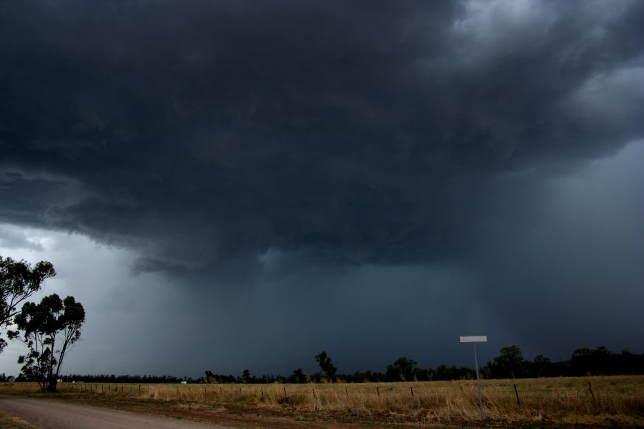
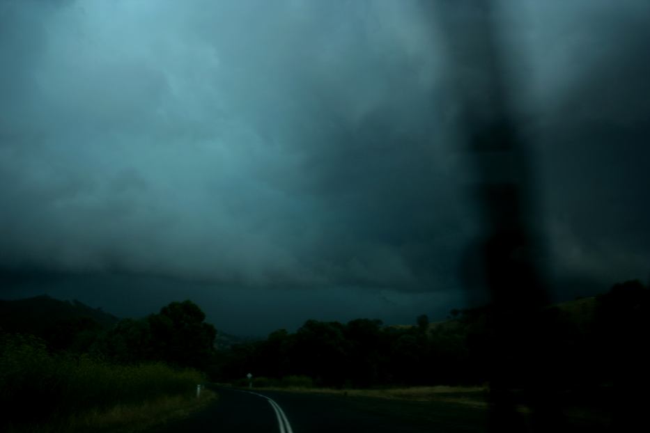
After a brief stop and filming from the vehicle of lightning bolts protruding through a solid rain free base, it was time to escape through Gunnedah in preparation for a chase! With bolts piercing the base at regular intervals, leaving Gunnedah became a matter of urgency. Finally set up outside of town, I was able to tripod and timelapse a lowering base in great contrast! When the green tinge became evident, it was obvious the storm was becoming severe. I was in two minds as to what road to take and whether to investigate the core. The core won!
With the locality of Curlewis as my immediate destination, it would not be long before large splattering droplets lead to heavy rain and finally hailstones. The hailstones were typically about 2 to 3cm in diameter - rainfall so intense that some vehicles sheltered on the shoulder of the road. Lightning bolts flashed within the core - the brighter flashes followed by loud bangs of thunder indicative of their close proximity.
Now this lasted about 10 minutes as I ventured through the core and out the other side! Quite exciting but the real show was still to come. Having been to the north and within the core earlier, the decision to pass through the core revealed a menacing beast to my immediate south! This storm was quite large with frequent lightning bolts!
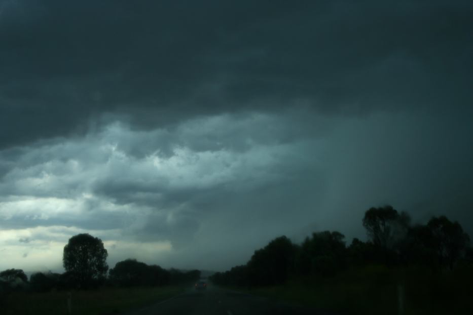
Drawing near the small township of Breeza, it's severity became apparent. This was no doubt far more potent than the previous storm - a powerful microburst descending at an oblique angle over the plains signalled potential trouble for regions in its path.
On entry, violent rain and wind gusts buffeted the vehicle slowing my progress to a crawl. The visibility once again was limited but further into the core I entered an eerie darkness. It even sounded weird and the thunder seemed to be contained within. Thump! That was pretty loud! Another thump and it wasn't long before isolated large hailstones began pounding the vehicle. Becoming more frequent it became deafening as solid vibrating thuds. Vehicles lined the roadside though it seemed one vehicle was willing to tough it out behind my vehicle. I became concerned that violent winds and hailstones would combine to smash through the windscreen or side windows. I looked for a place to stop but visibility was so limited this proved difficult. I eased off slightly to test for solid ground and a reasonable shoulder to park. Meanwhile, the vehicle behind overtook. To my astonishment, it was a semi-trailer! No wonder it was able to deal with the conditions!
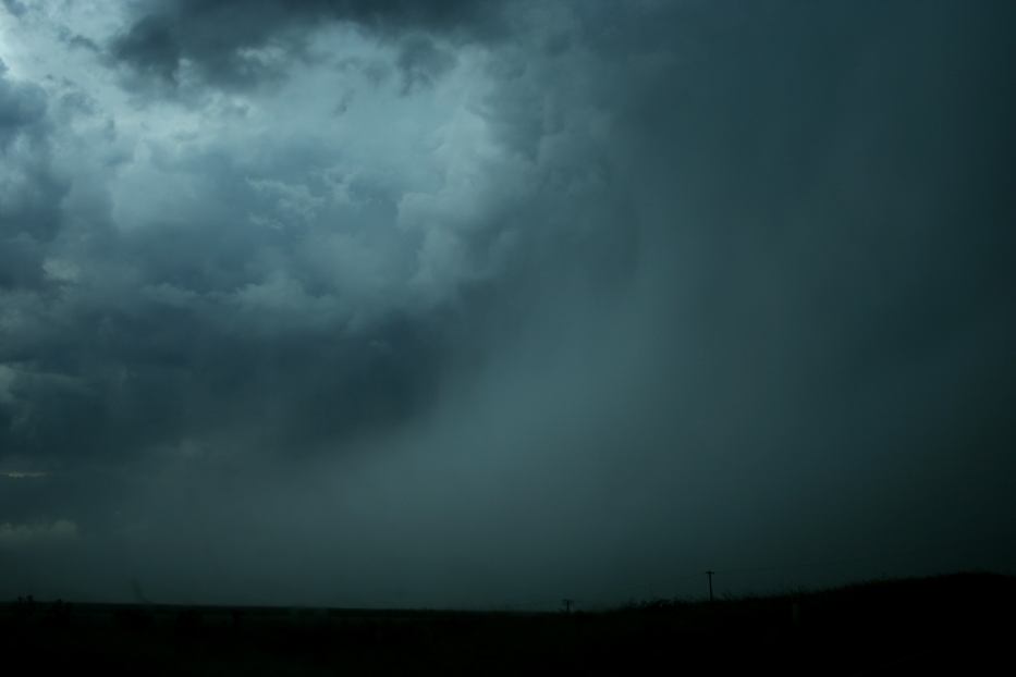
Hail continued to bombard the vehicle for a little while longer and sporadically as I ventured further down the road after the brief stop. Finally I was out of the storm. My plan was to maintain close proximity. Having made the turn towards Werris Creek, the rain rates and now treacherous conditions, it became obvious the storm was slowing my progress. Finally it was decided to head for Quirindi - effectively exiting the storm.
In Quirindi, it was my intention to head for home. But this storm was still producing copious amounts of static! A few cloud to ground bolts that seemed to pulse verified the storm still meant business! So Wallabadah made for an alternative route to buy time. Who would have thought that I would end up targeting the Nundle region! To my amazement the storm had intensified complete with HP structure and dangerous lightning activity! A dark menacing base and shelf cloud structure surrounded a dense region of precipitation. Multiple bolts pierced the nearby hills at frequent intervals. This storm meant business and had the ominous green tinge once again! On the final run to Nundle, a bolt singed the landscape not too far ahead of me! But this signalled the last anvil bolt as the storm entered its weakening phase. I was fortunate enough to experience its barrage of lightning and consolidated formation. Despite heading into the hills, the storm had weakened significantly. I used this opportunity to head home via Nowendoc experiencing some amazing scenery. It had been a long testing day that had paid off with an excellent show.
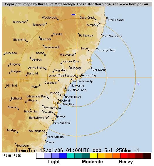
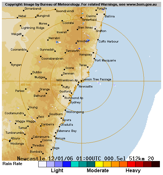
From Weatherzone
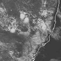
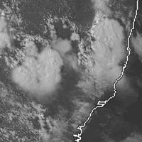
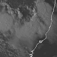 noon to 6pm local
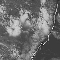
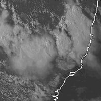
From Bureau of Meteorology
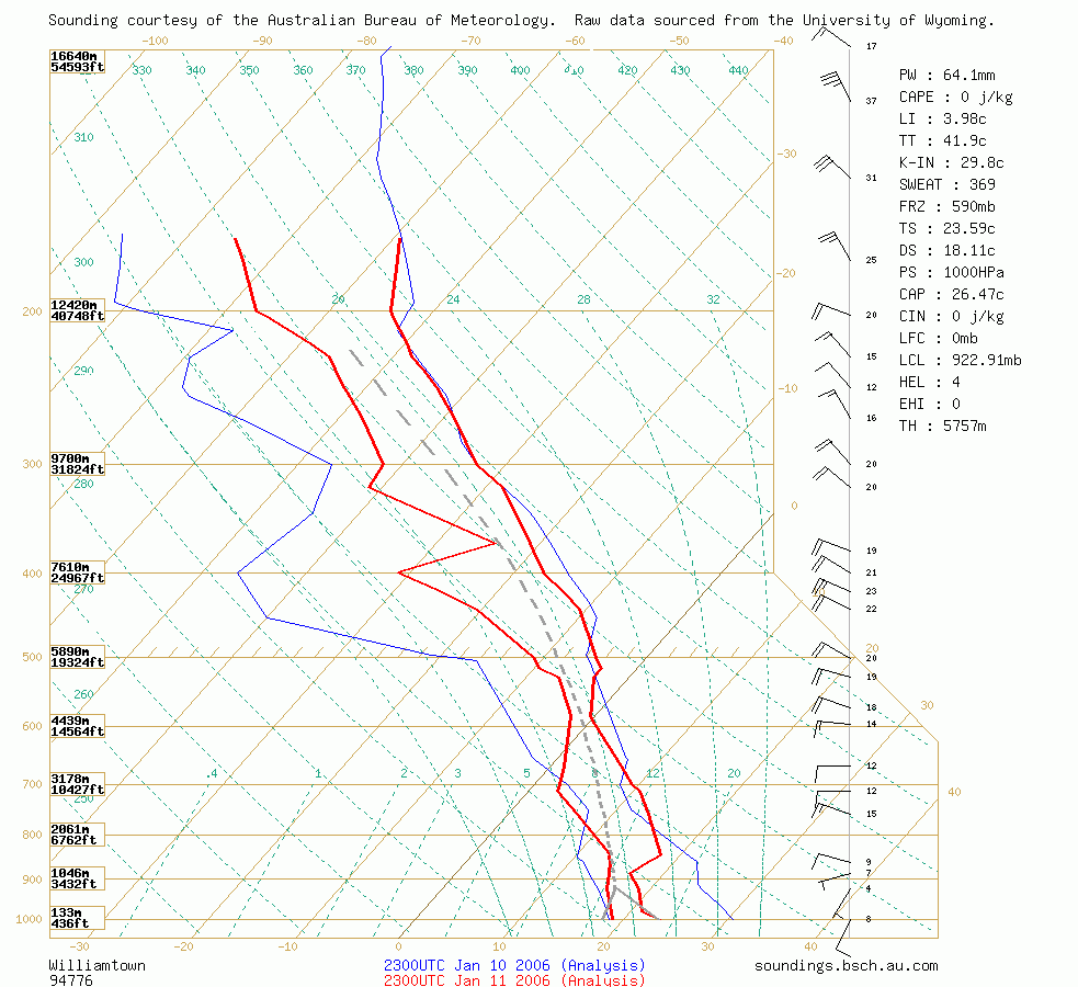
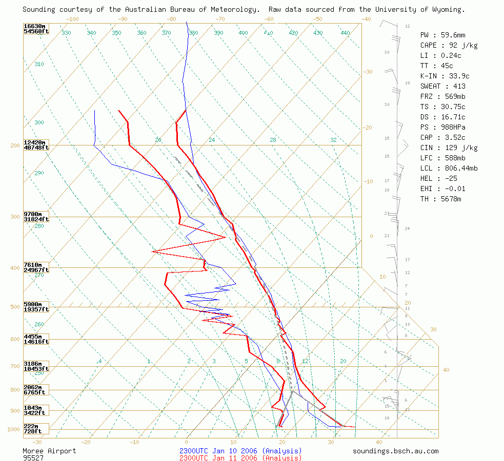 Williamtown and Moree soundings at 11am 12/01 local
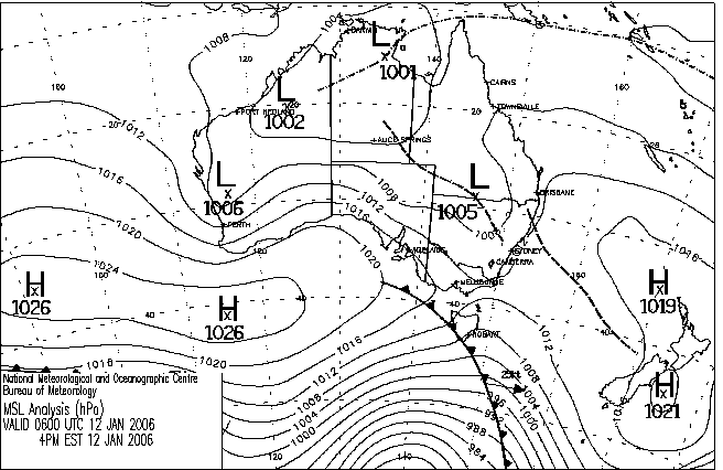
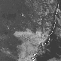
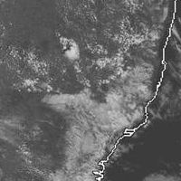
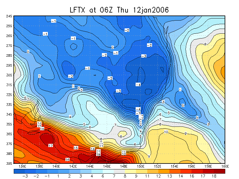
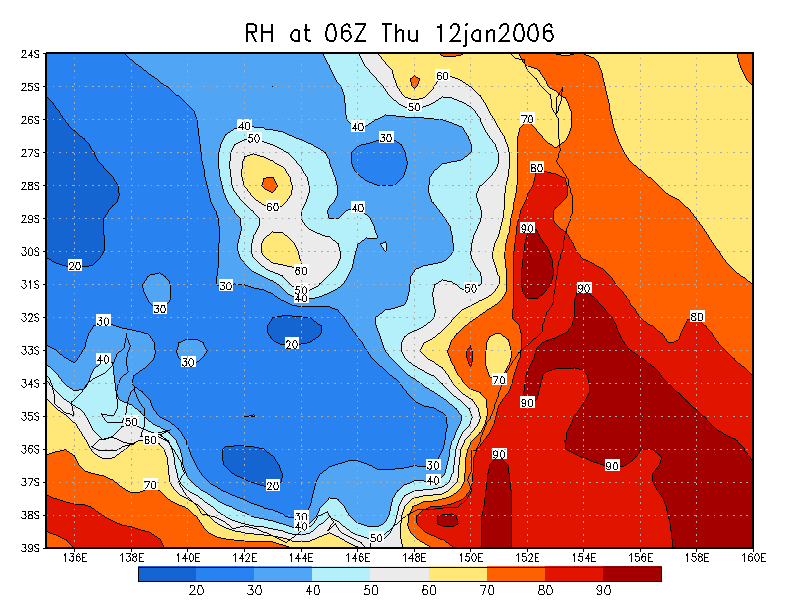
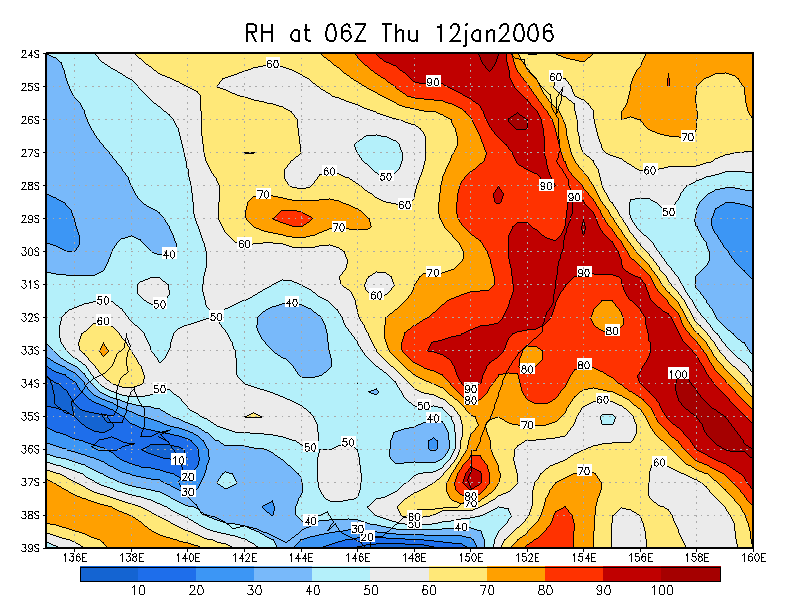
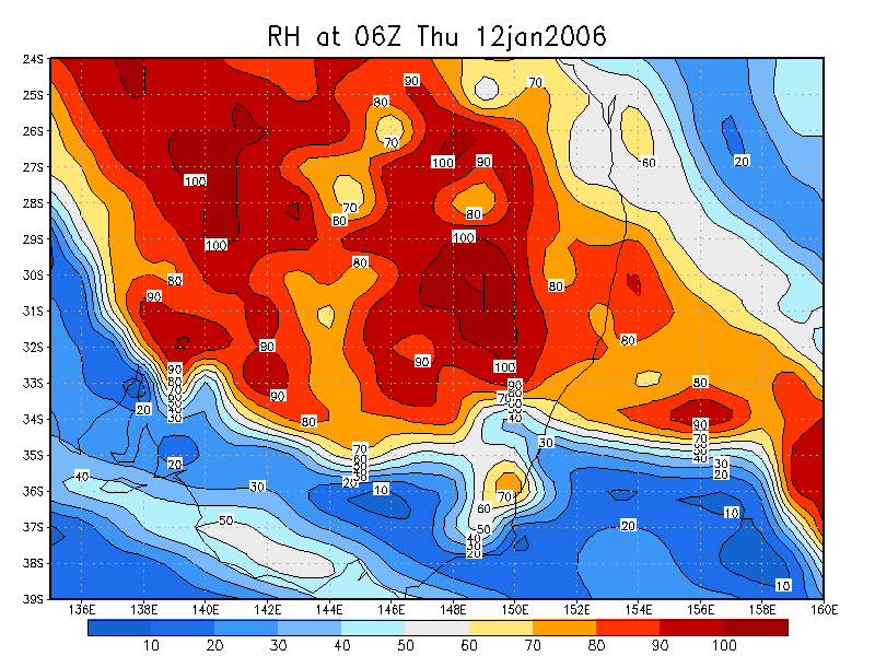
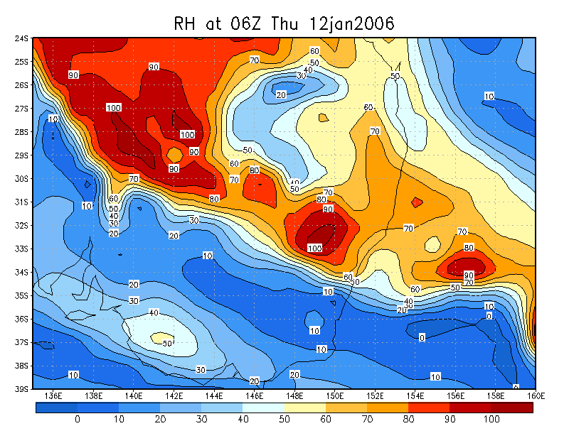
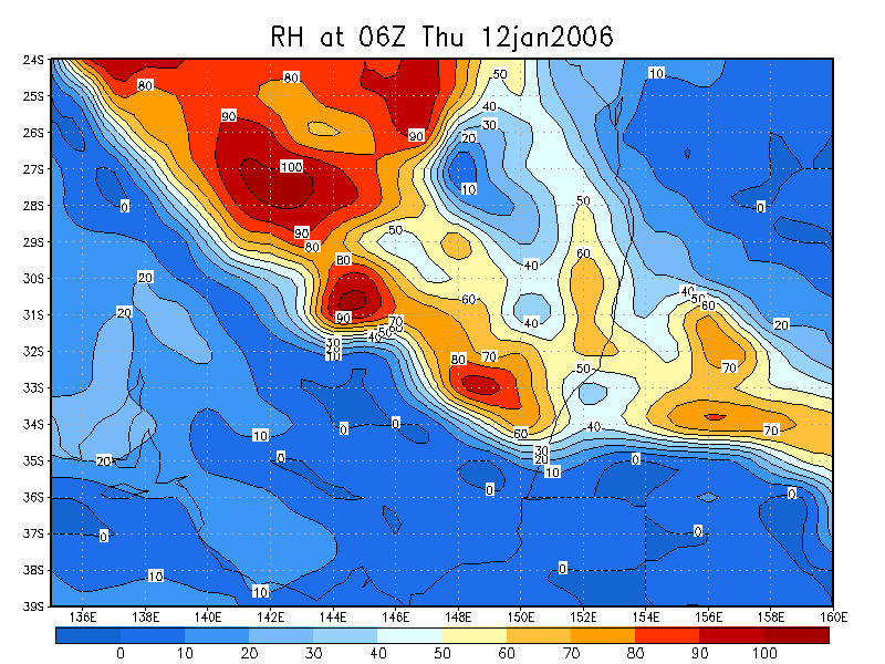
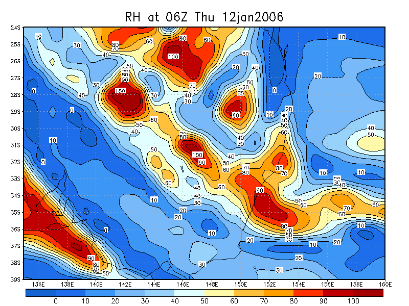
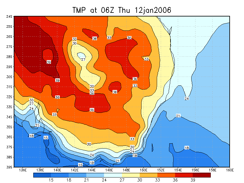
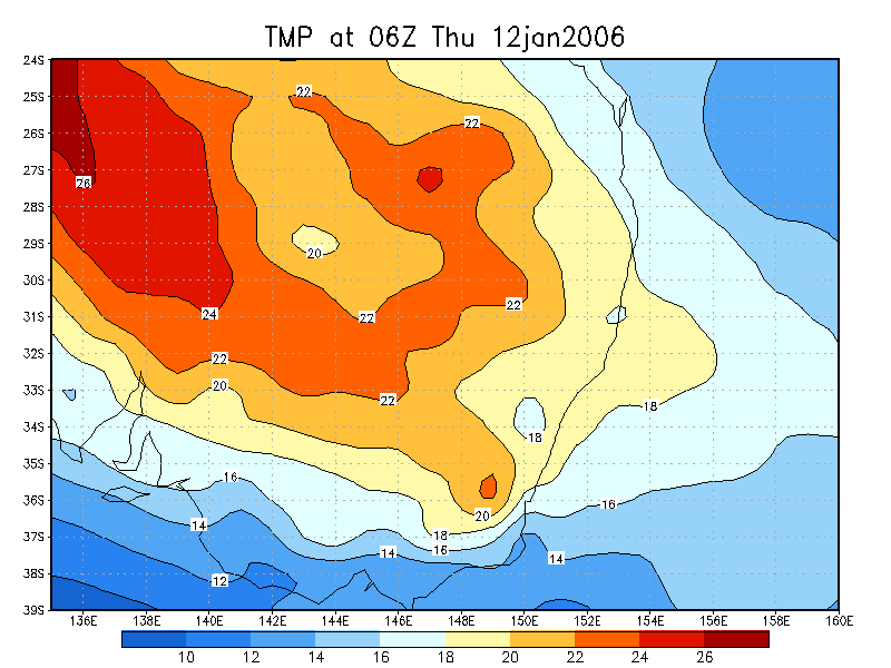
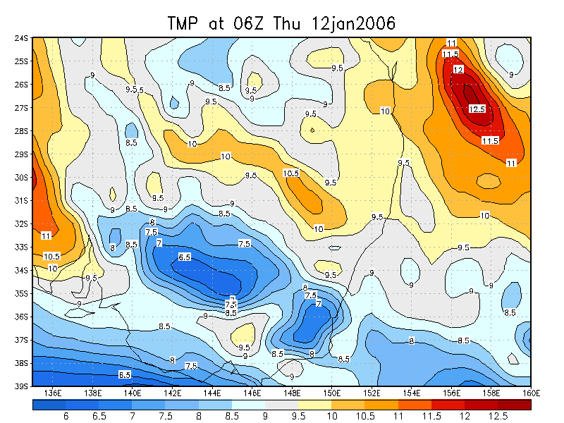
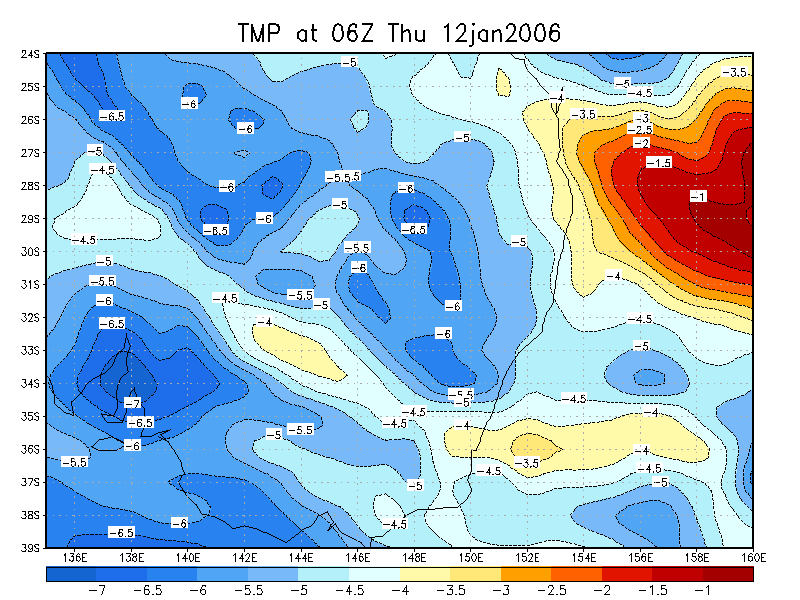
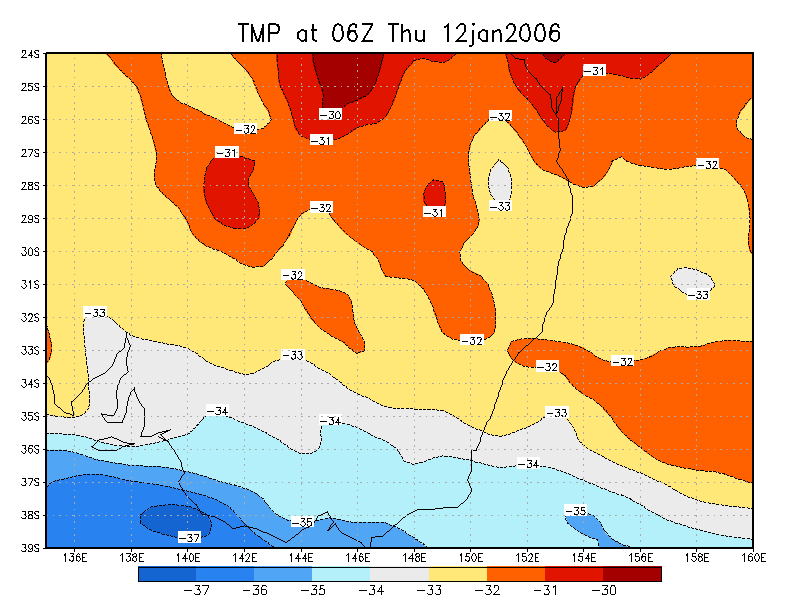
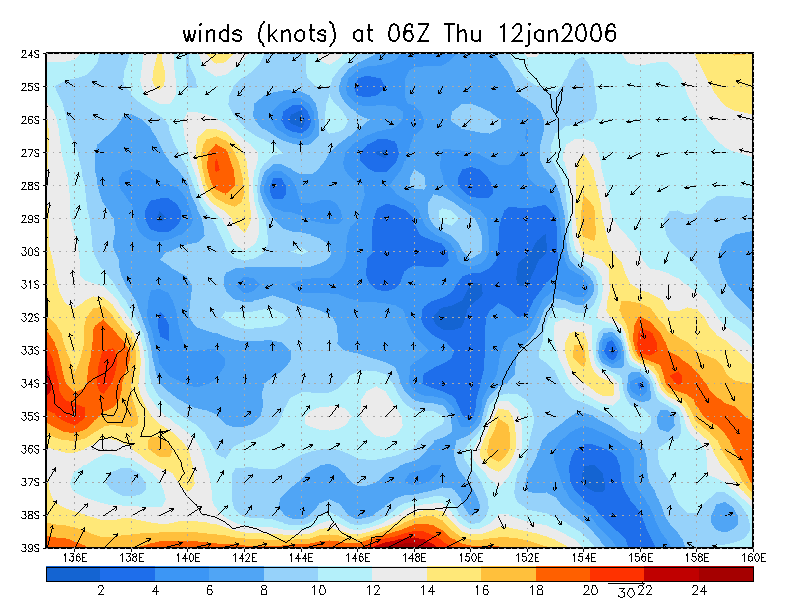
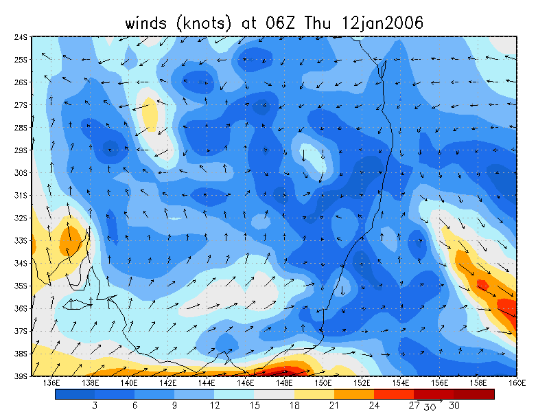
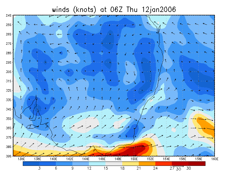
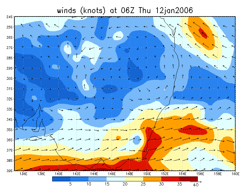
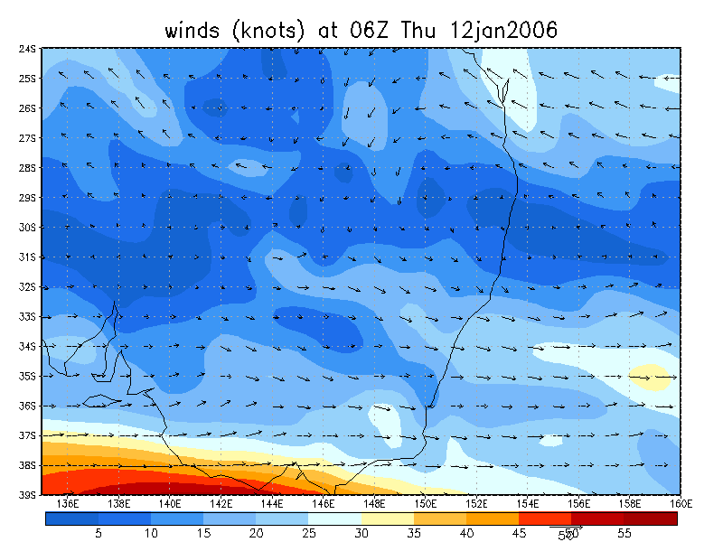
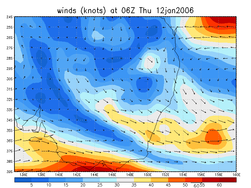
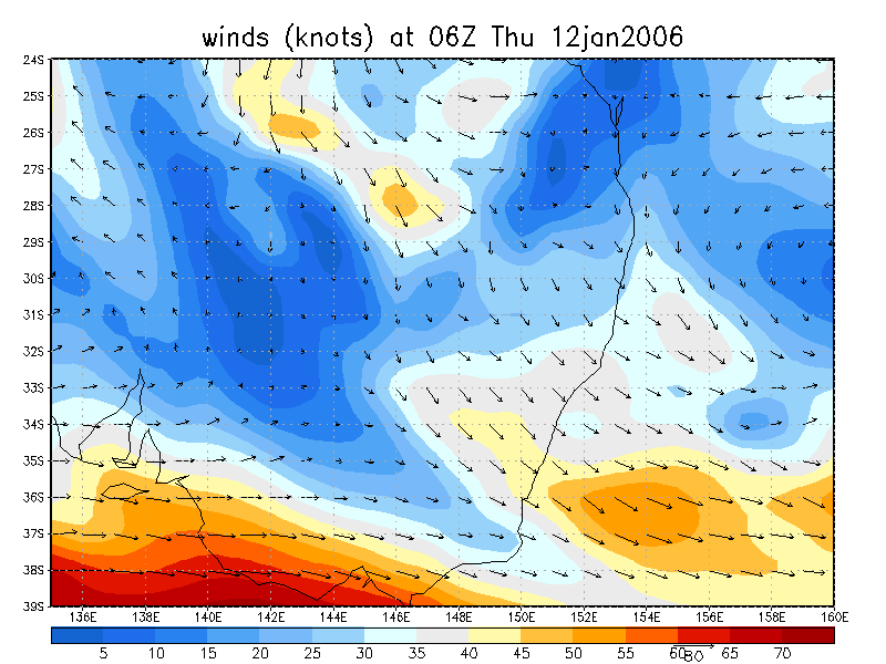
From NOAA 12/01/2006 06z analysis
|
Document: 200601-05.htm Updated: 9th February 2006 |
[Australian Severe Weather index] [Copyright Notice] [Email Contacts] [Search This Site] |