and Chasing
[Index][Archives]
Severe Hailstorm near Bonalbo in NE NSW: Tuesday 27th December 2005
Report compiled by Michael Bath and Jimmy Deguara
| Storm News and Chasing [Index][Archives] |
Severe Hailstorm near Bonalbo in NE NSW: Tuesday 27th December 2005 Report compiled by Michael Bath and Jimmy Deguara |
Following yesterday's chase in Southeast Queensland, Jimmy and I left Anthony Cornelius's home about 8am and were expecting storms to fire in the western parts of the Northern Rivers. The cap had weakened a little from yesterday but so had shear, with low levels quite poor, though it wasn't too bad around 700hPa.
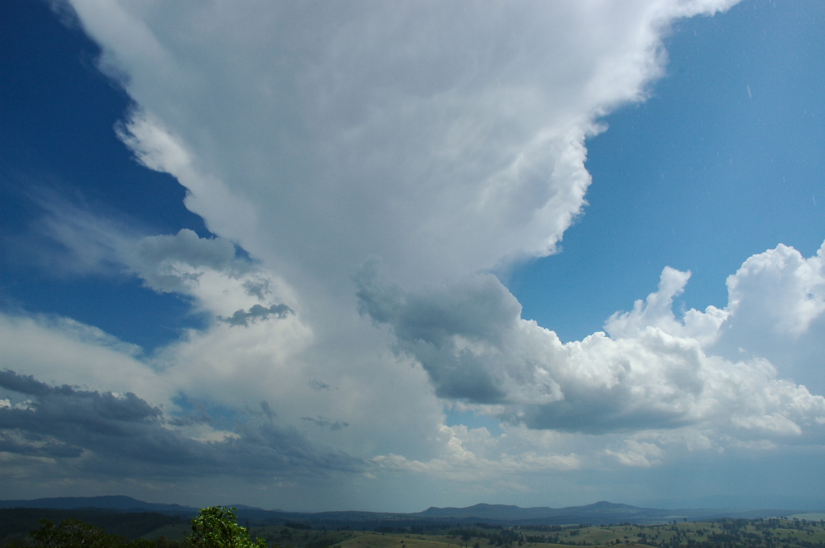
We arrived at the Mallanganee lookout 40km west of Casino about 12.30pm. Thunderstorm activity was slower to develop than expected and was certainly very weak and struggling at first. Towards 2pm a storm formed west of us near Tabulam and started to track slowly towards the NE.
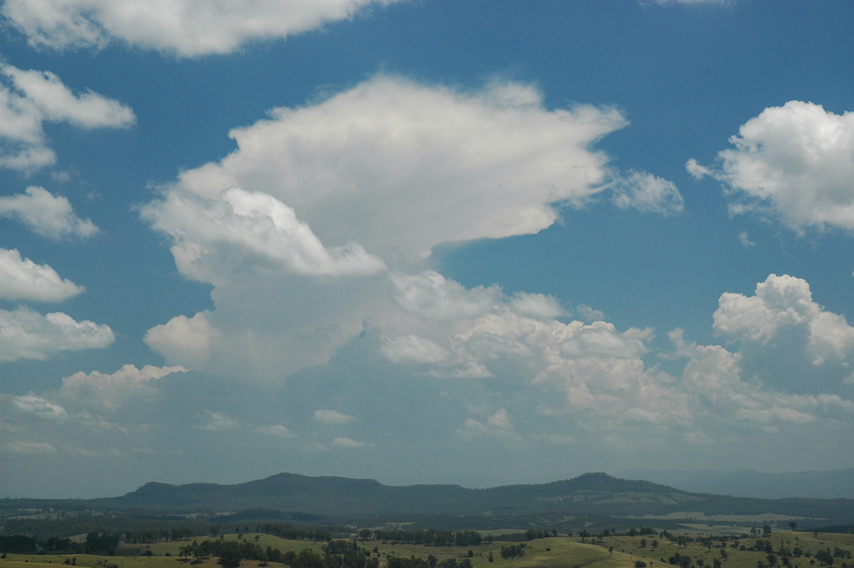
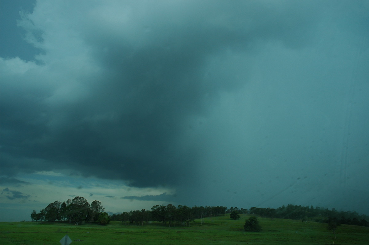
We watched this slowly intensify before deciding to intercept it. The appearance suggested microbursts and hail would occur.
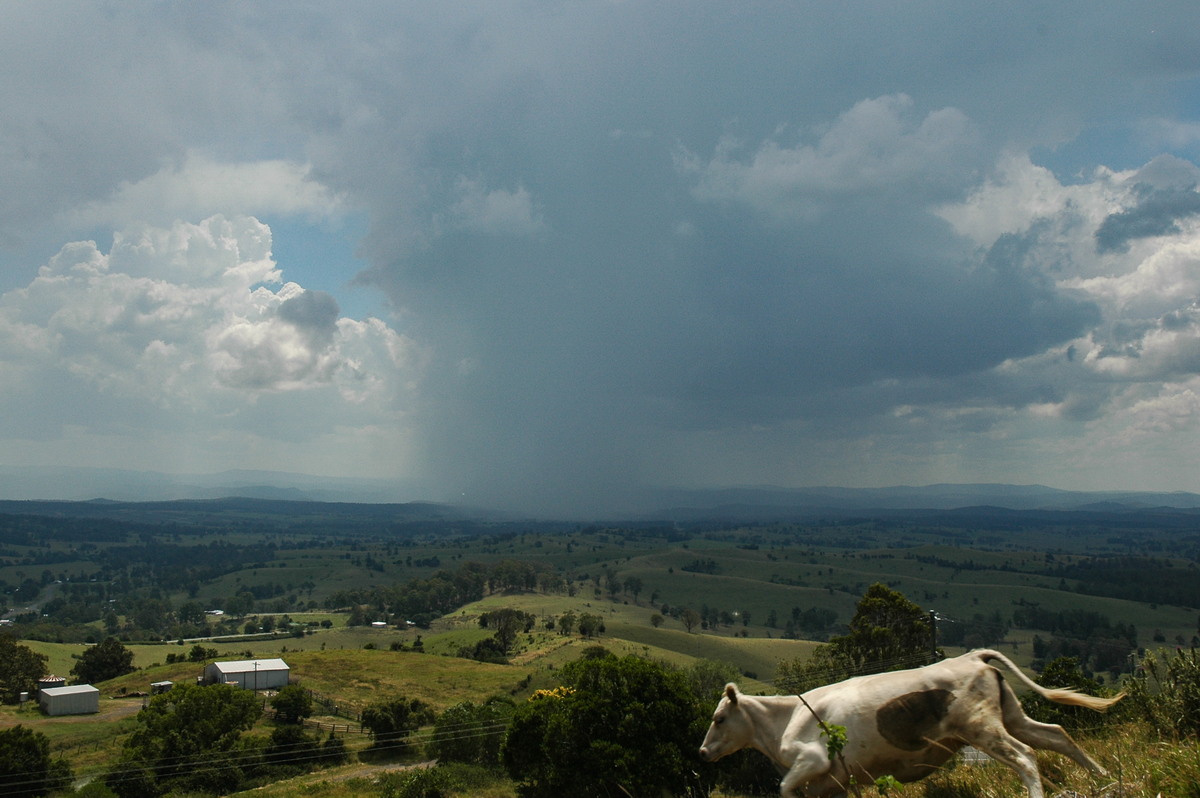
The chase took us west on the Bruxner Highway then north along the Bonalbo Road. The storm now looked very high topped and CGs became quite frequent. The storm was now moving northward.
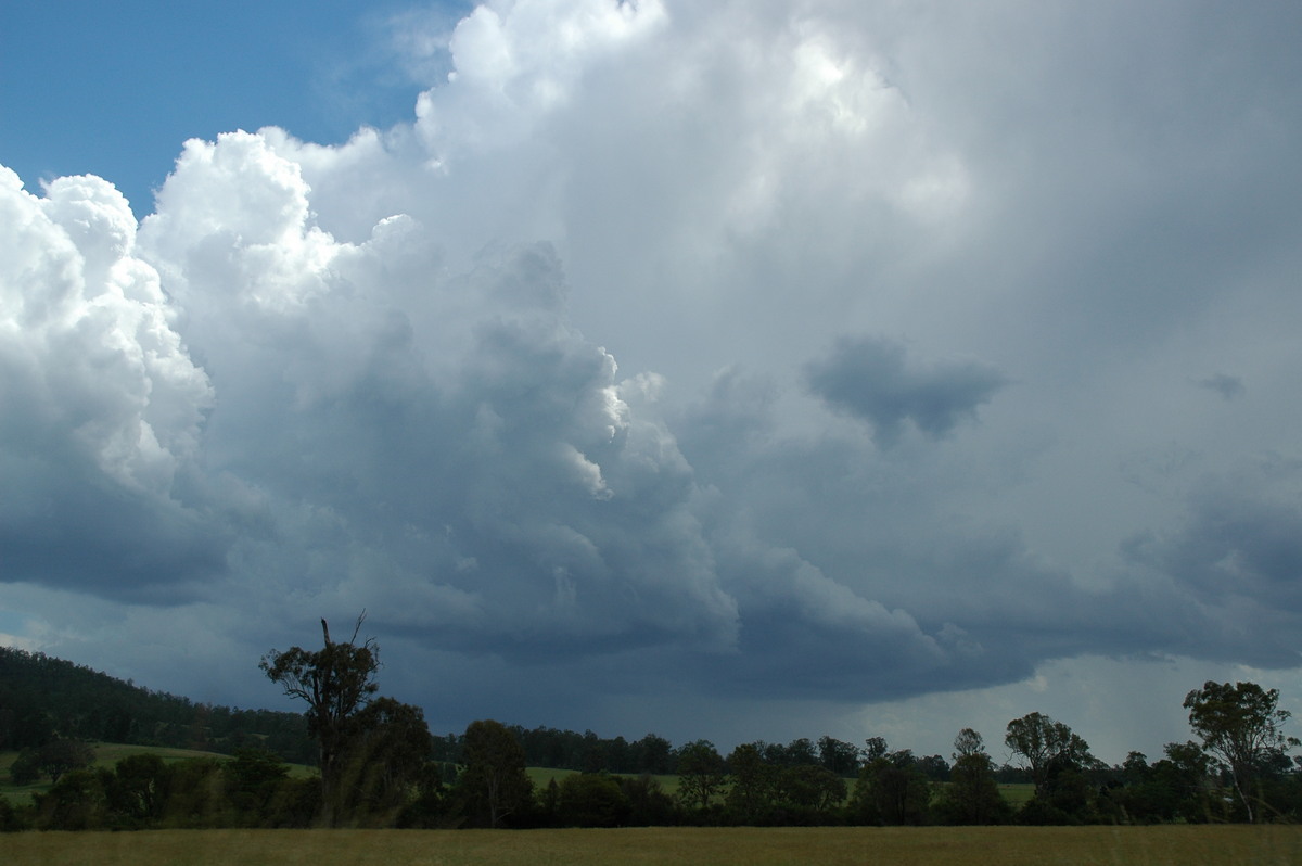
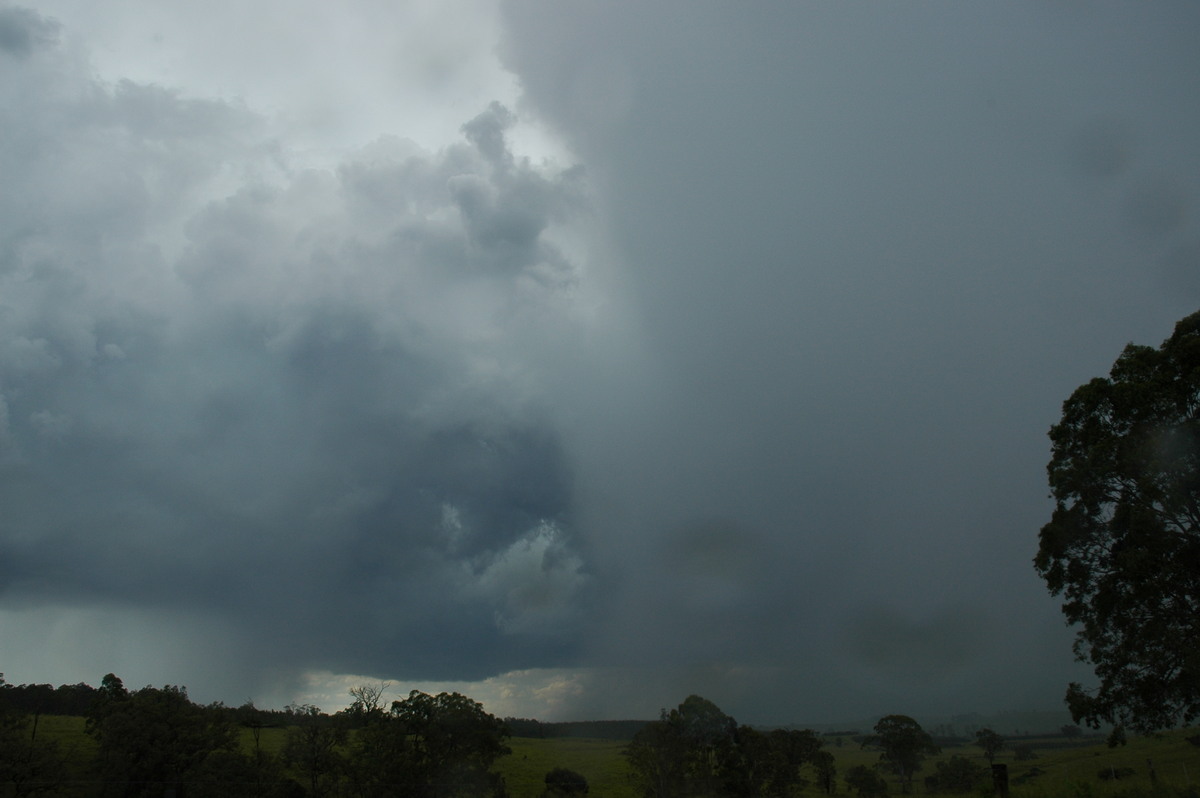
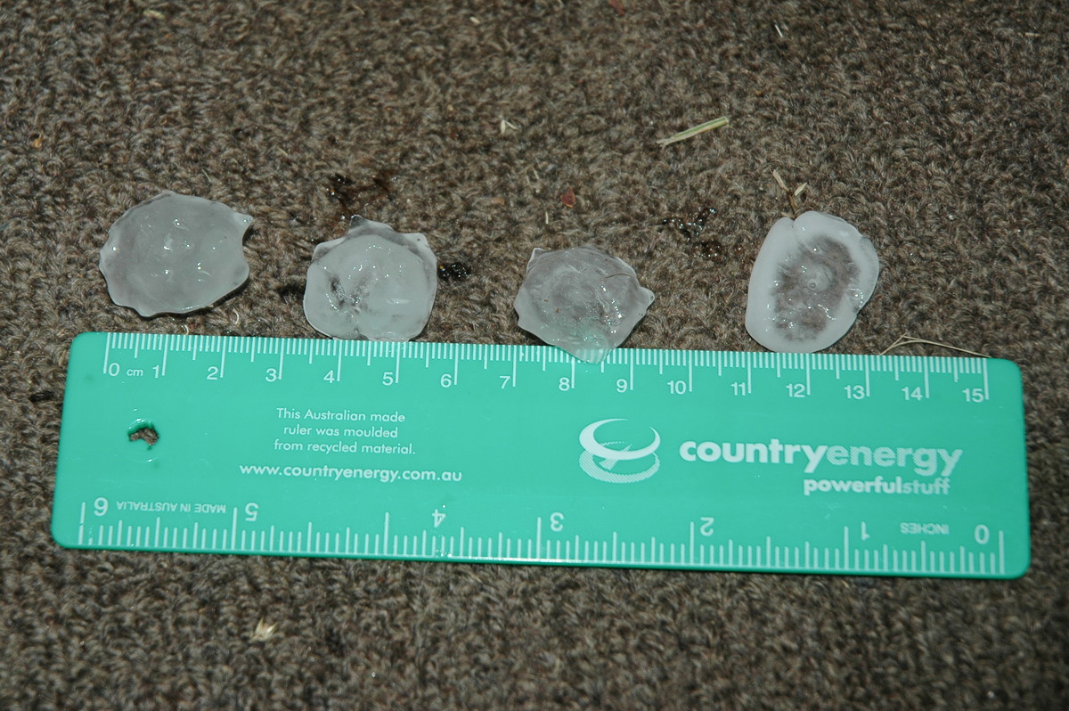
We soon entered the intense precipitation area. Winds became quite strong and then hail commenced with intense rain. It was so heavy it was hard to see the tree debris across the road ! Hail to 3cm pelted the vehicle, particularly in the area about 10ks north of the Bruxner Highway. A lot of trees were down and large braches were snapped off - indicating microburst winds were locally around the 110km/h mark only minutes before we arrived. CGs hit around us during the drive to Bonalbo.
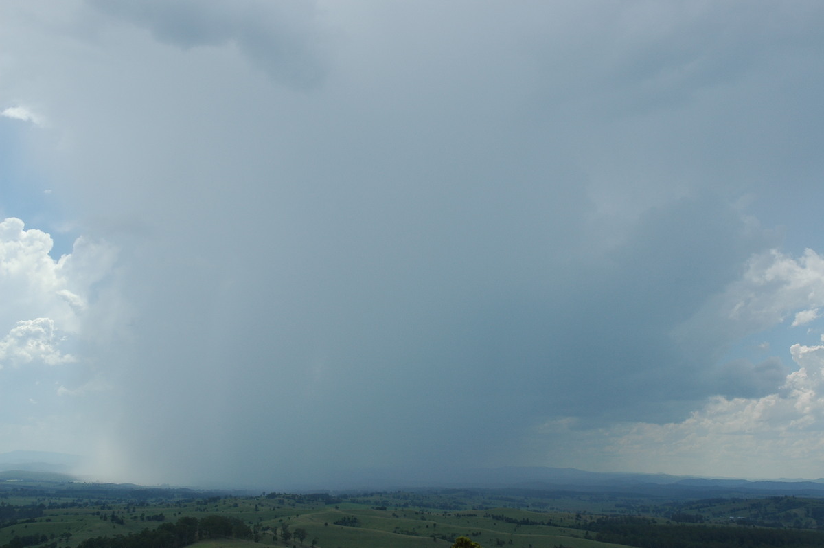
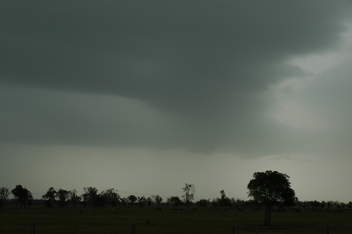
The storm appeared to have weakened with another cell dominating further to the northwest. We headed back south, collecting and measuring a few hailstones in the area with most tree damage.
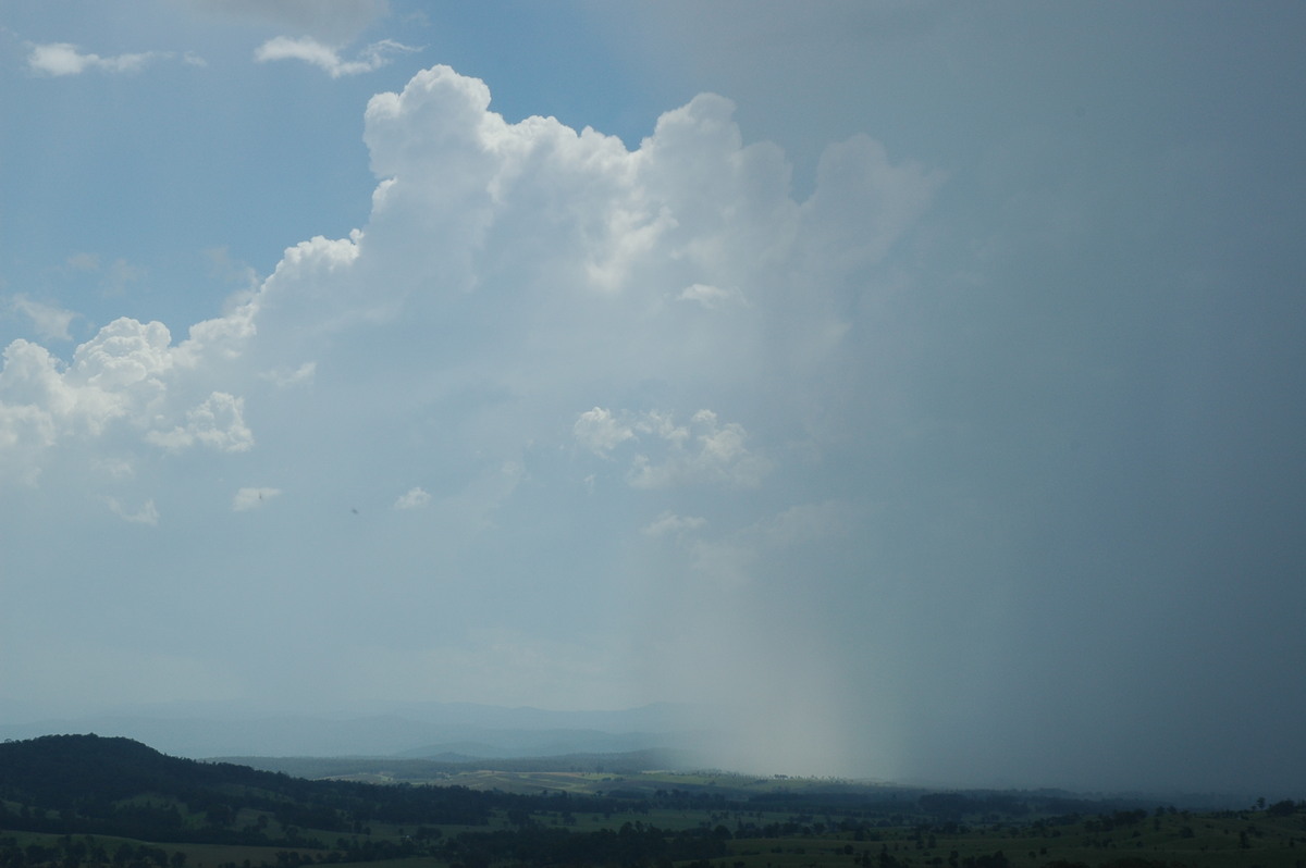
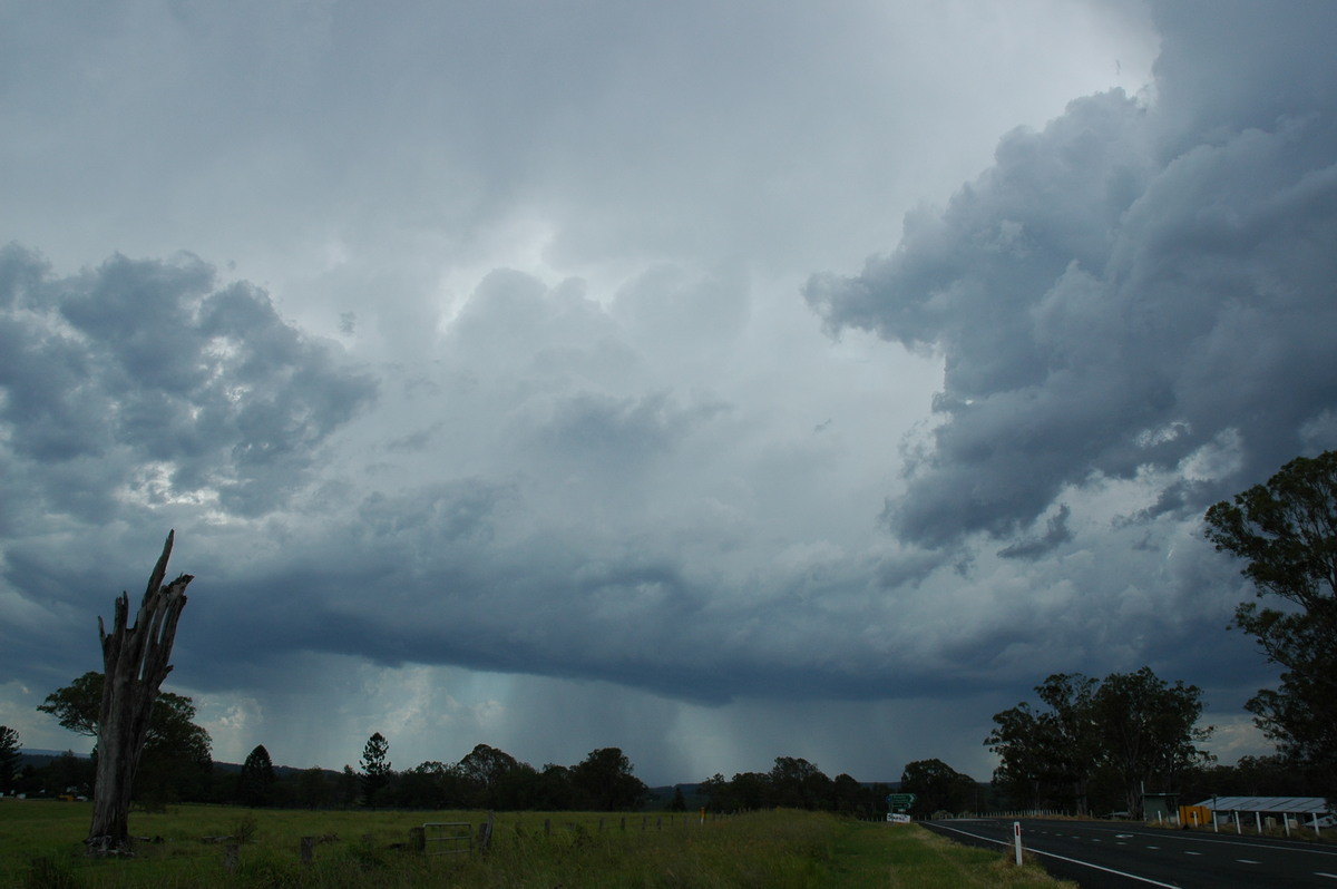
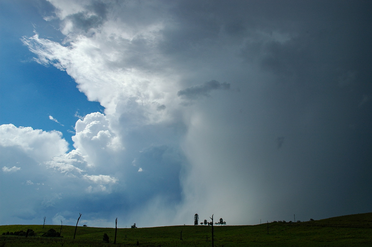
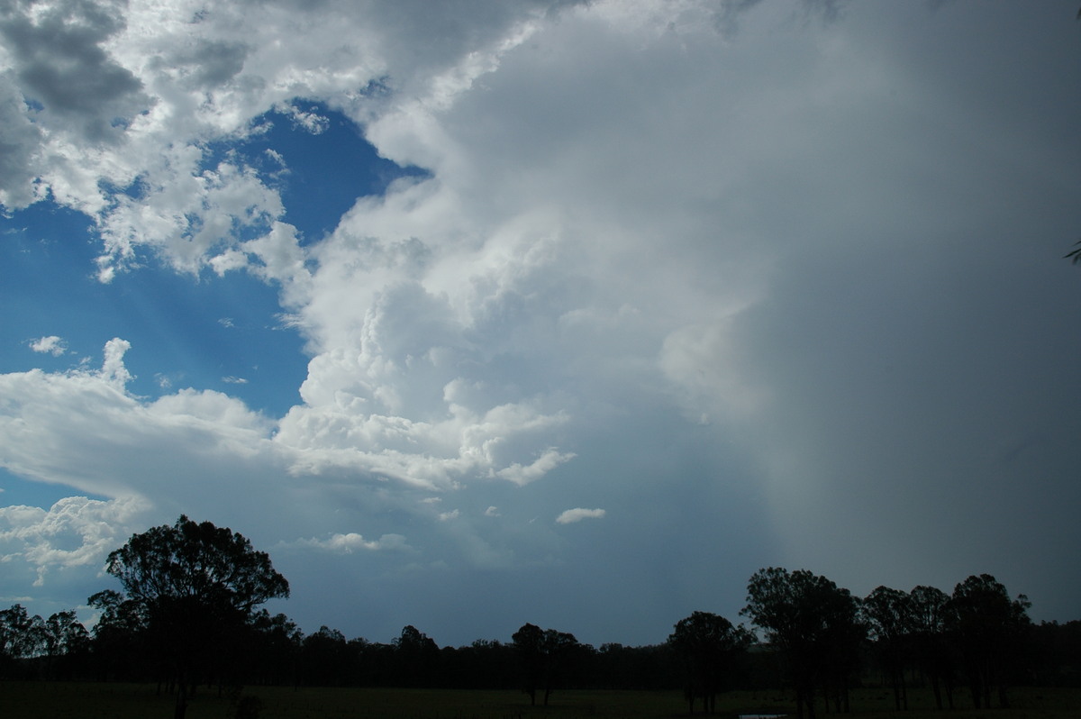
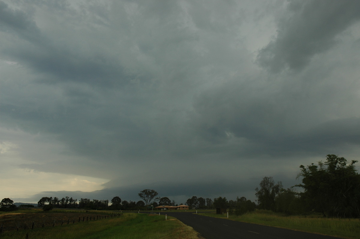
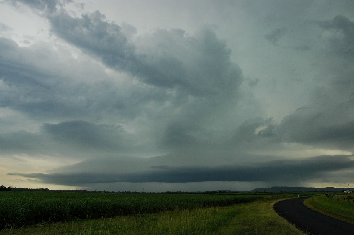
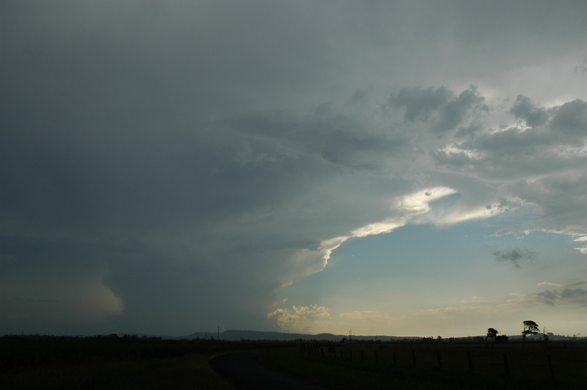
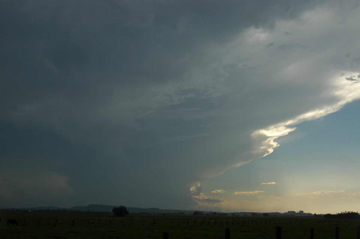
The structure of the storms to the north were quite impressive. It now appeared a line of cells extended down to the south and anvil rain was occurring over a wide area east of there.
Chase options were limited so the decision was made to head back east and meet up with Dave Ellem who was chasing with his brother near Casino.
Anvil rain persisted at Casino, but a cell to the south caught Jimmy's attention. The chase continued southeast along the Coraki Road.
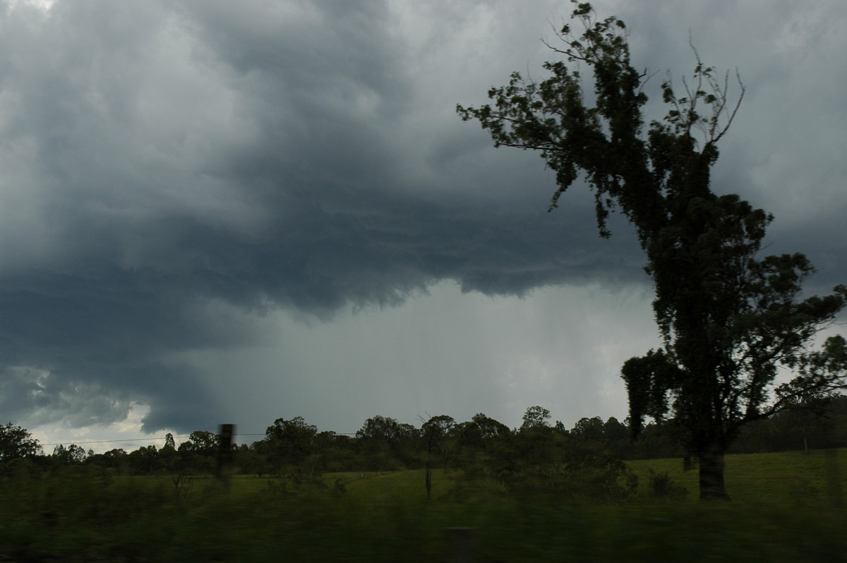
This new cell took on a much more organised and severe appearance.
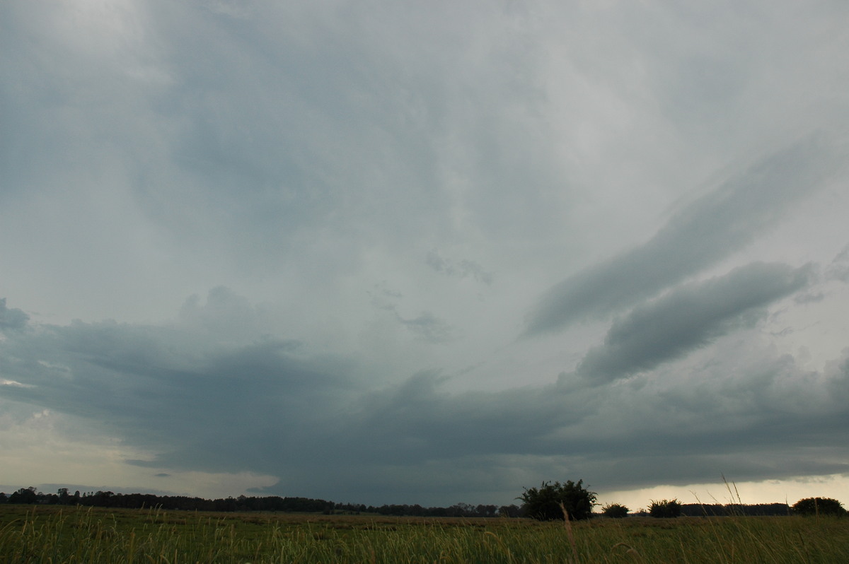
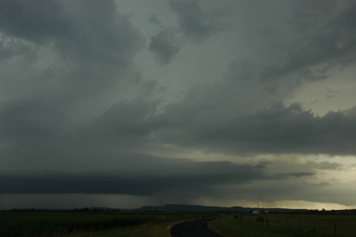
However, by the time we got to Woodburn, it seemed weaker with a gust front structure spreading out. Some nice CGs occurred along this feature.
Dave and his brother headed home and Jimmy and I took a quick meal break at Woodburn during the lull in activity.
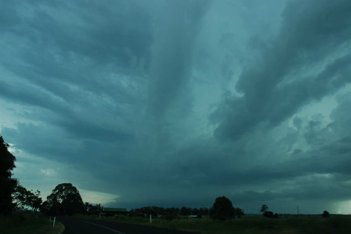
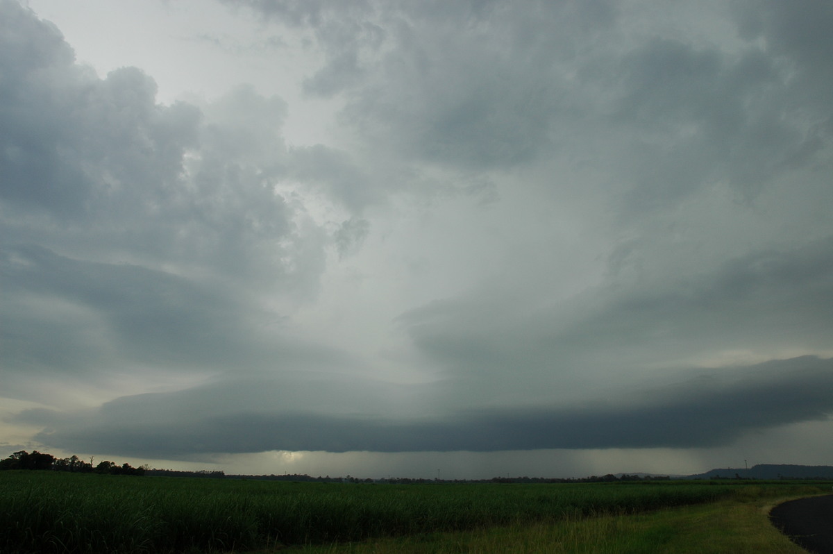
Another storm had developed to the southwest and looked quite impressive from our location. We drove back along the Coraki Road but it was becoming apparent this storm was barely moving.
We arrived at Casino with the aim of heading south, but the storm had almost died off by now.
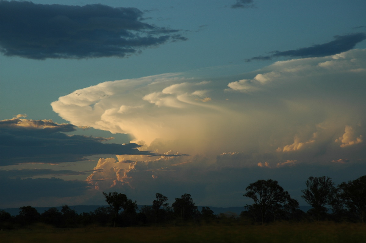
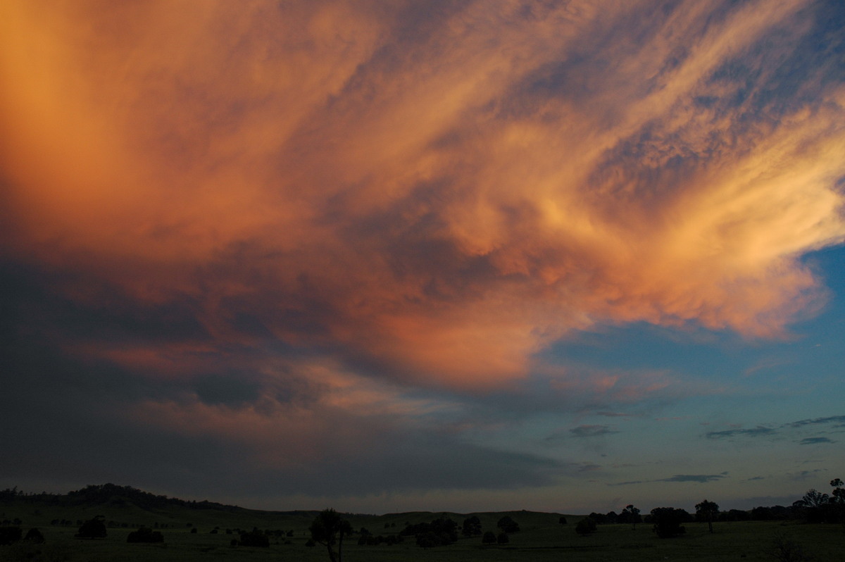
Meanwhile, explosive updrafts shot up to the NW. We moved northwest of Casino to enjoy the sunset coloured storms which were situated over Warwick.
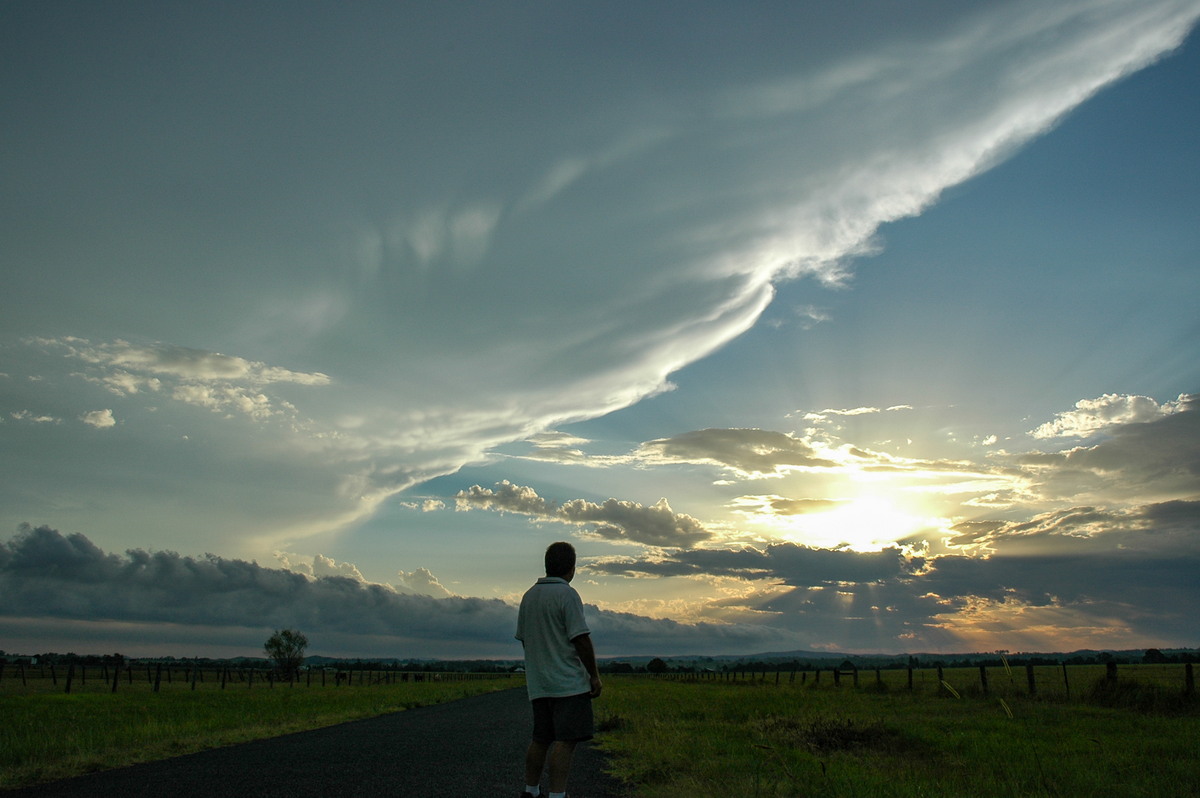
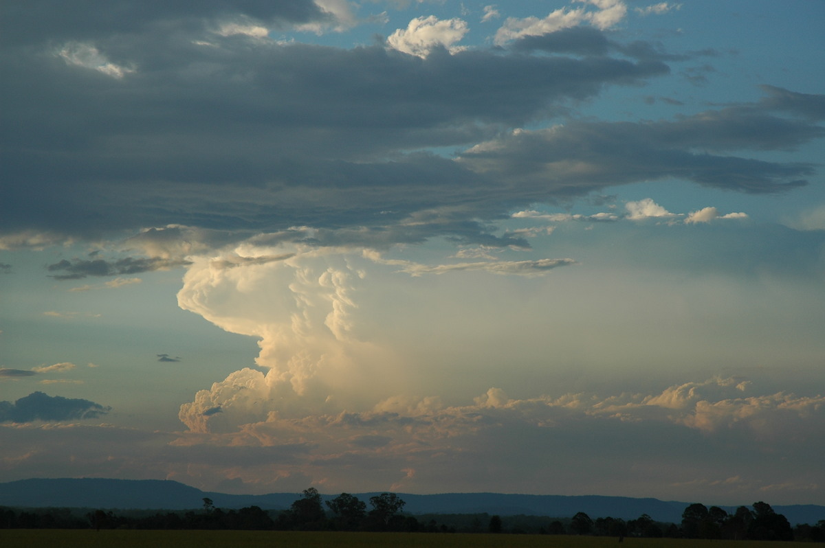
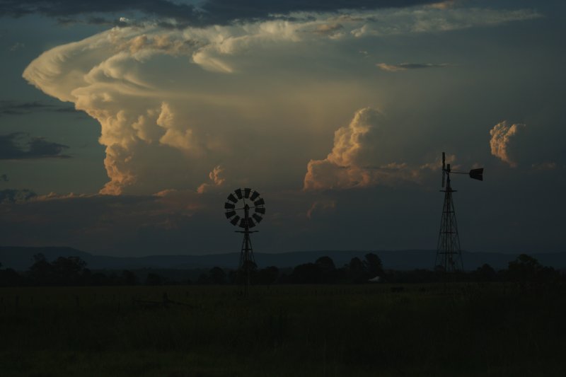
In the hope of a lightning show, we drove north to Kyogle but the activity died off at dusk.
From Weatherzone
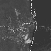
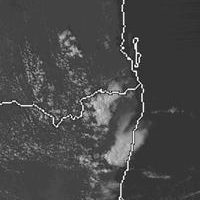
 2pm to 6pm local
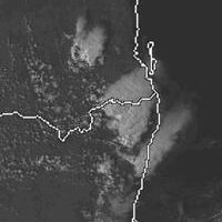
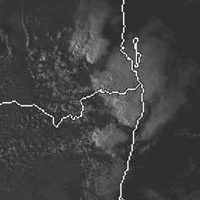
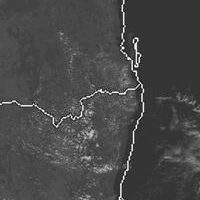
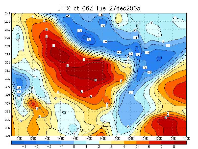
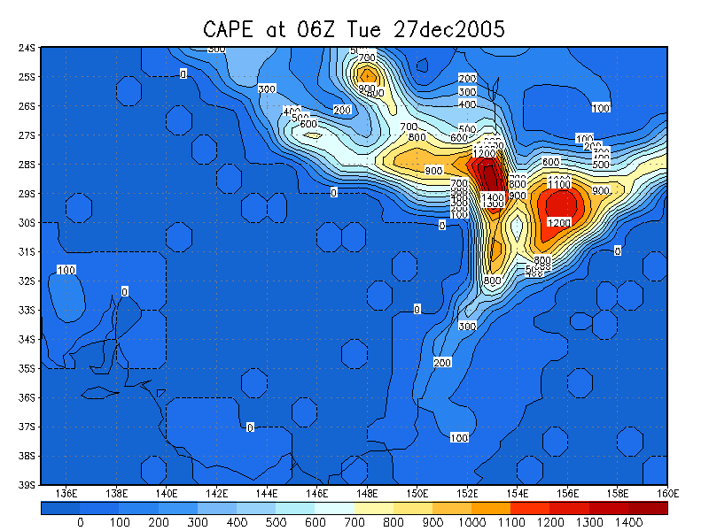
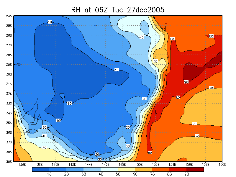
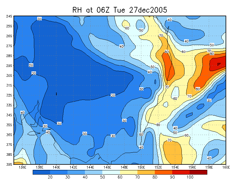
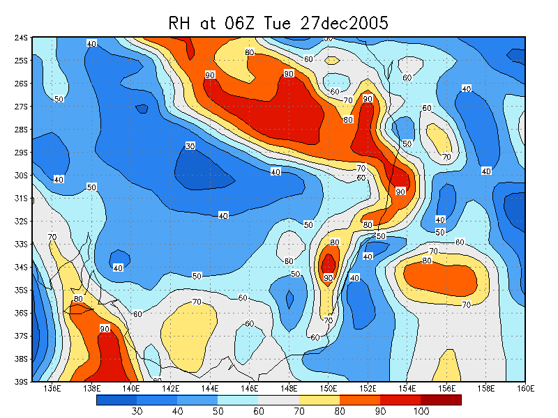
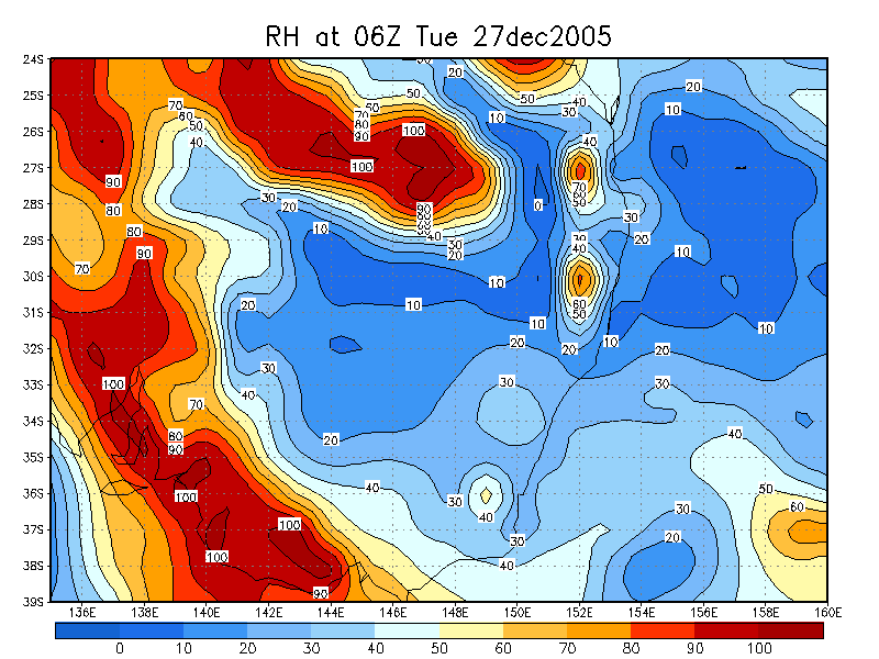
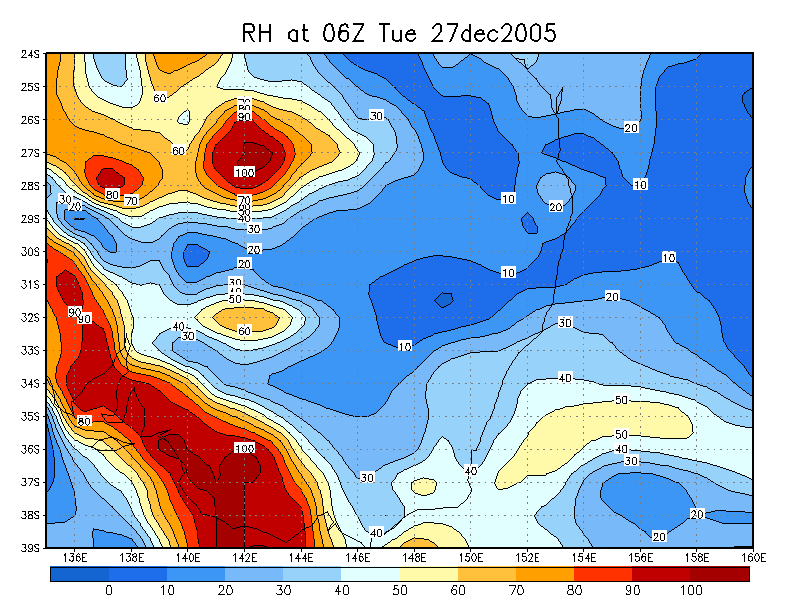
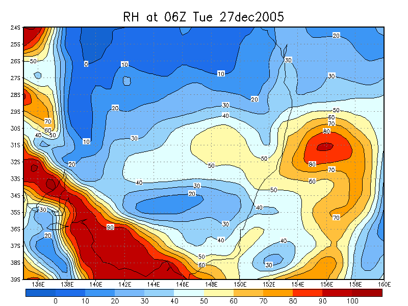
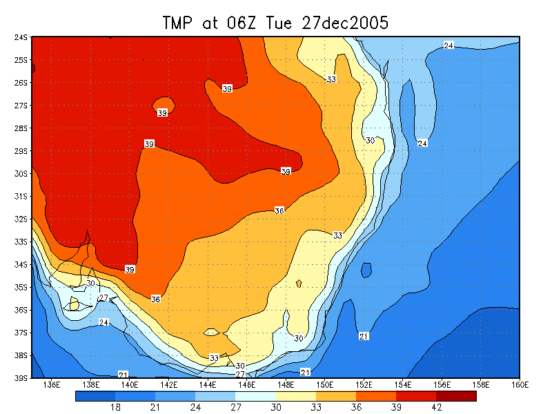
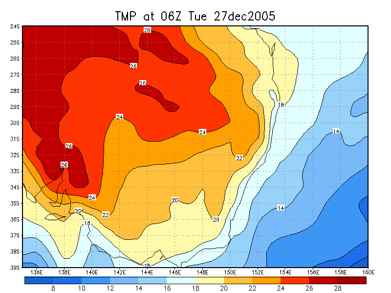
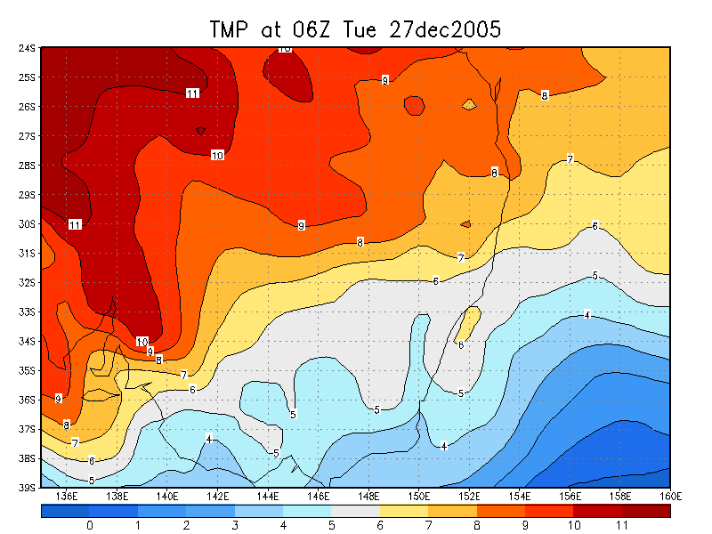
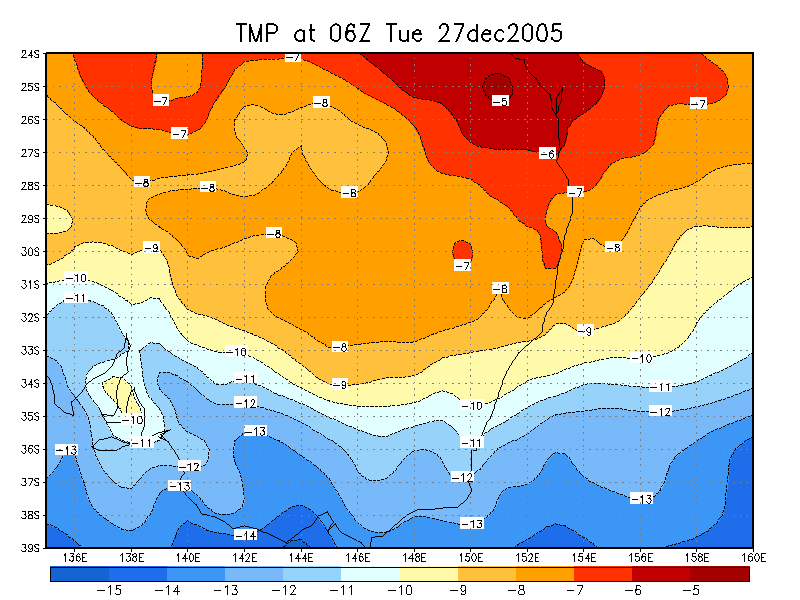
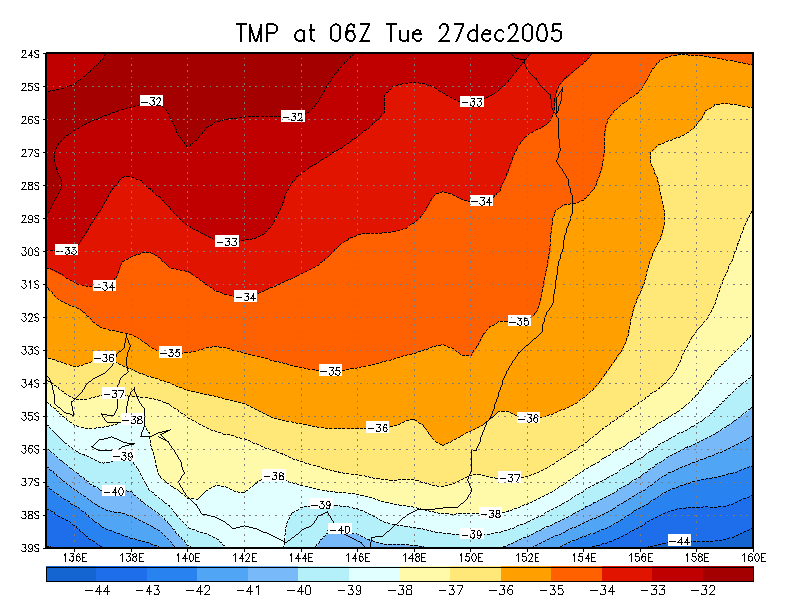
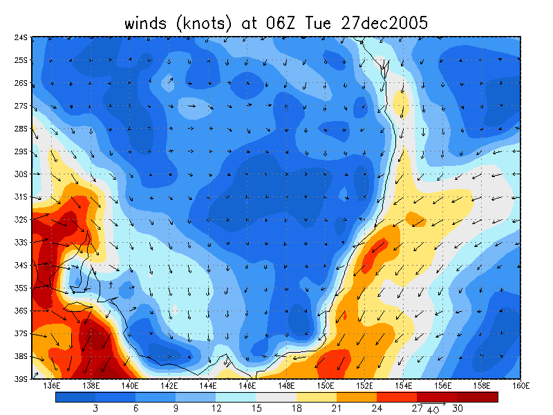
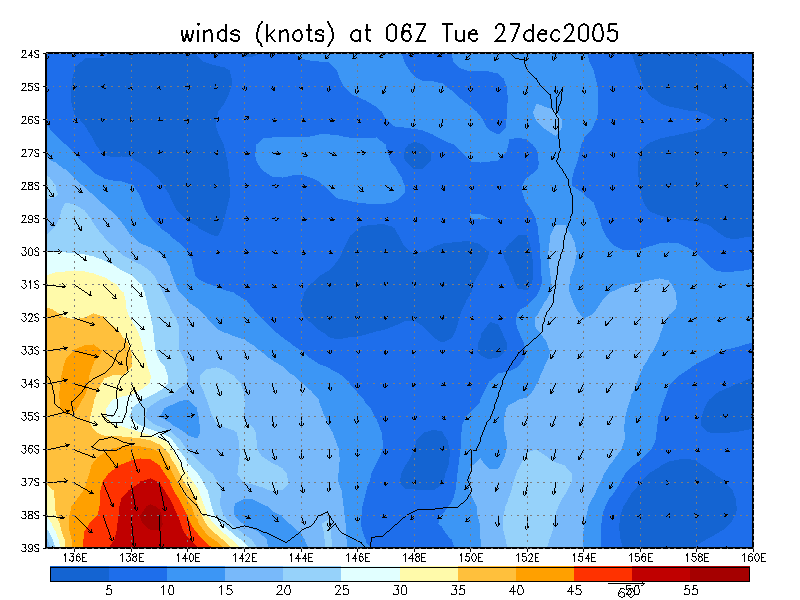
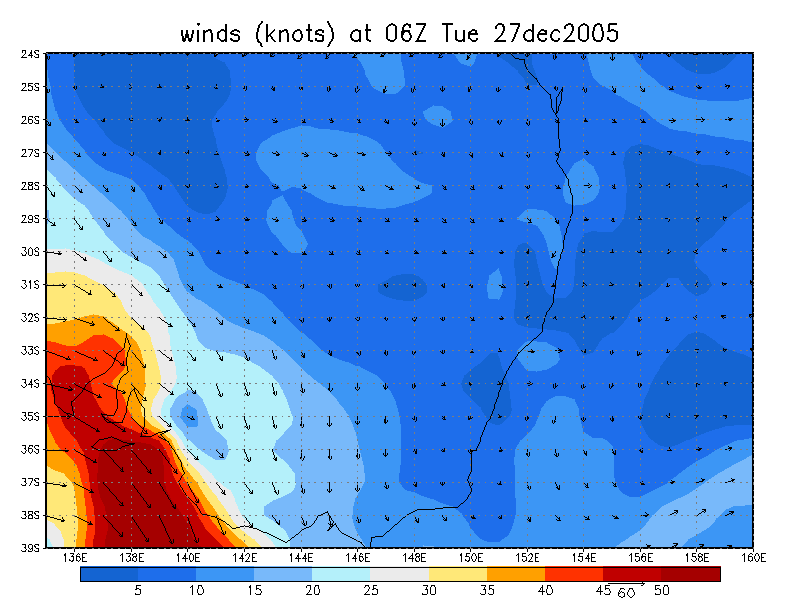
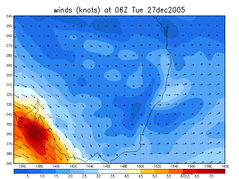
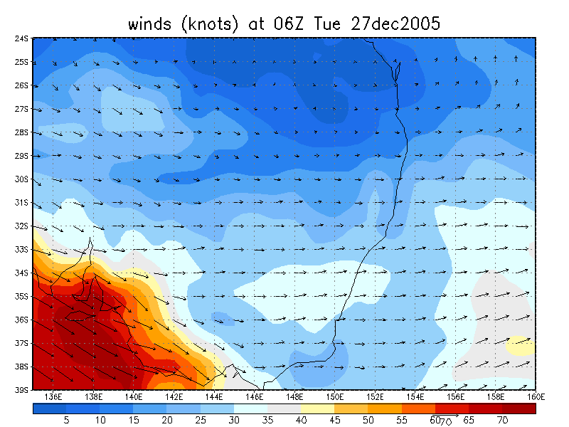
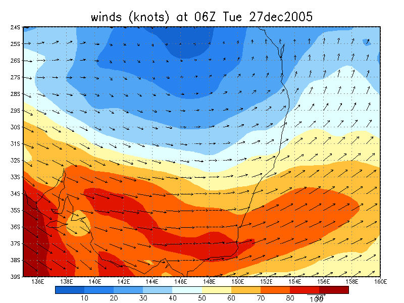
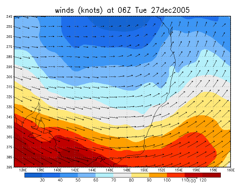
From NOAA 27/12/2005 06z analysis
|
Document: 200512-11.htm Updated: 24th January 2006 |
[Australian Severe Weather index] [Copyright Notice] [Email Contacts] [Search This Site] |