and Chasing
[Index][Archives]
Northern Rivers storm chase and Maclean disaster: Thursday 1st December 2005
Report compiled by Michael Bath
| Storm News and Chasing [Index][Archives] |
Northern Rivers storm chase and Maclean disaster: Thursday 1st December 2005 Report compiled by Michael Bath |
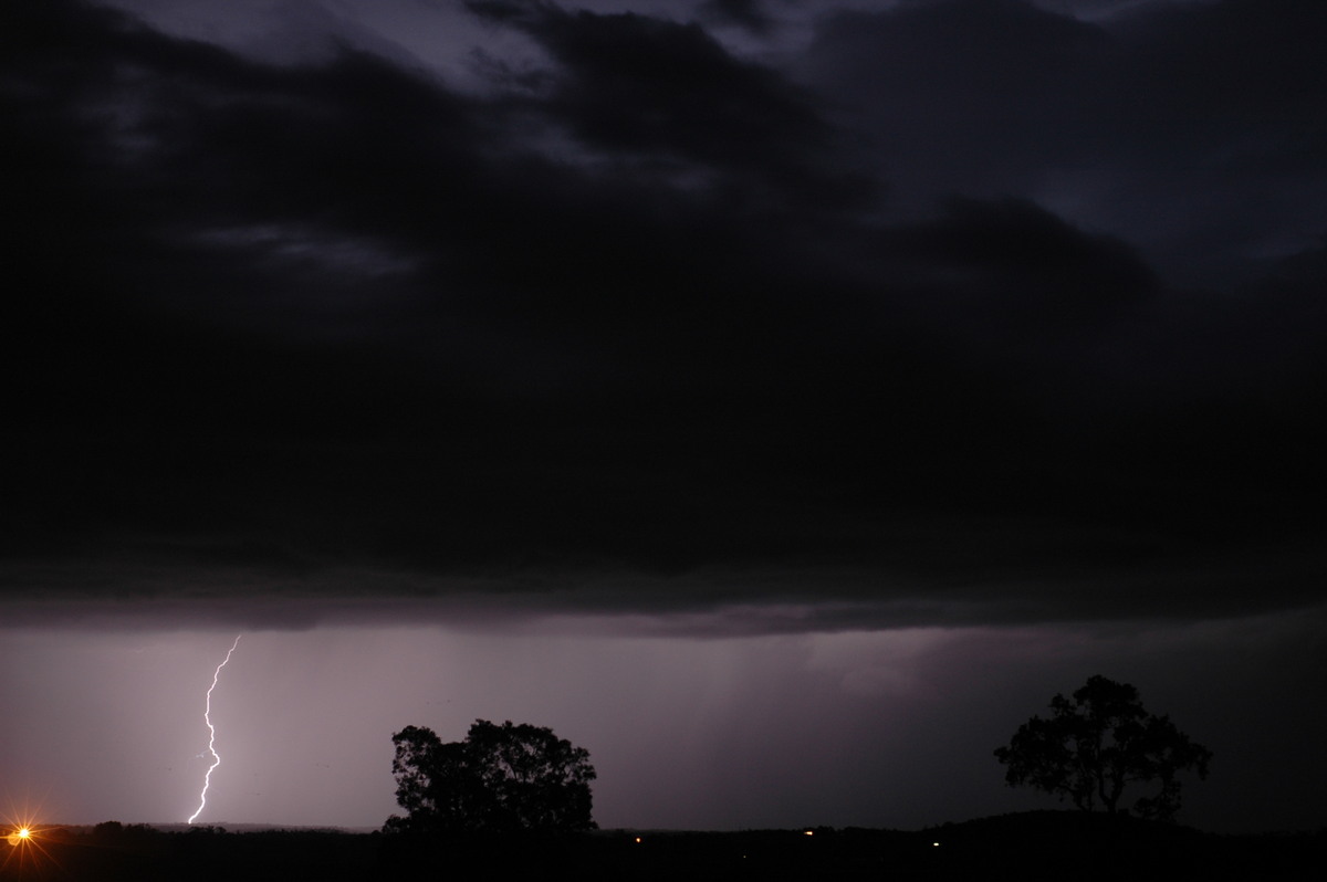
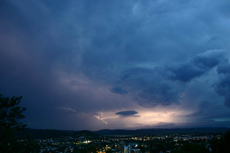
The 1st December started off very well with lightning persisting from the evening before. Continuous cells passed over the Gold Coast and Tweed with some heavy falls of rain. One storm in particular gave a spectacular show of lightning between 2am and 3am.
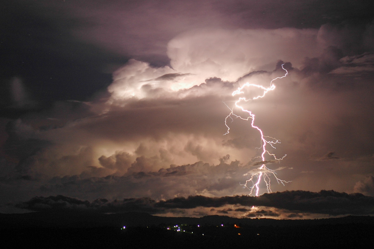

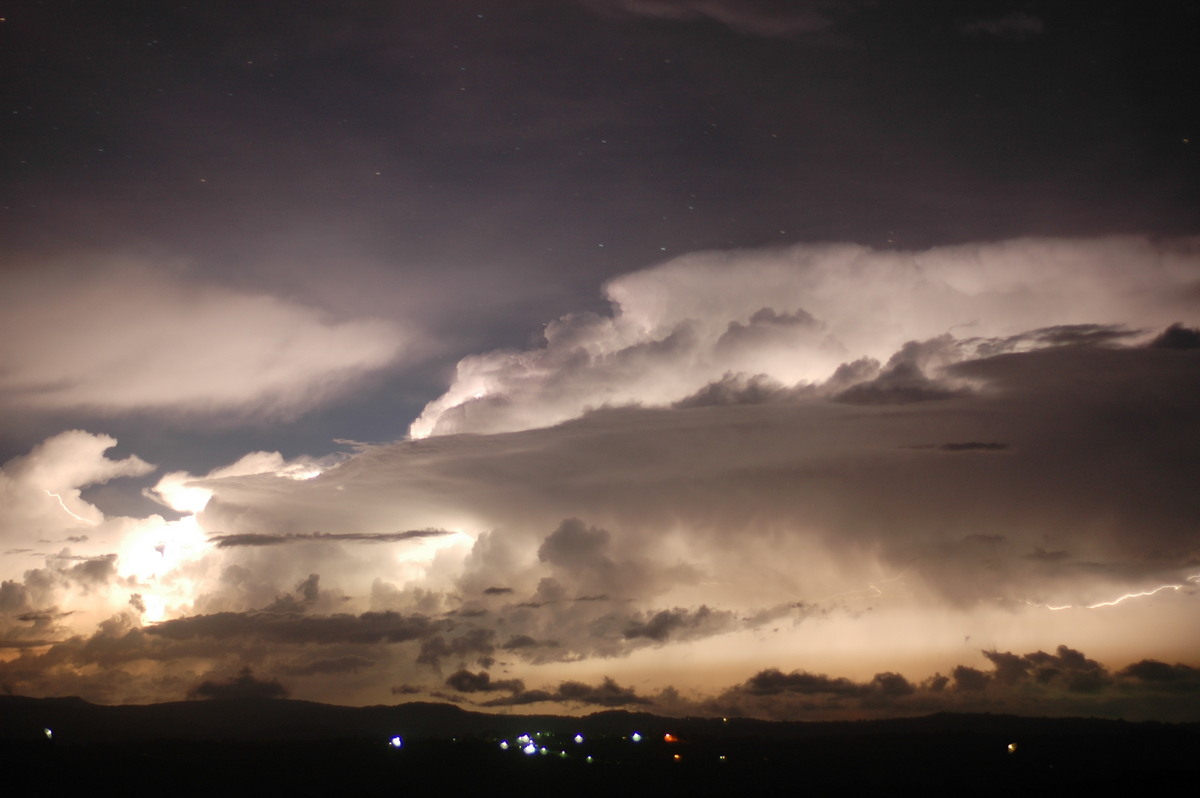
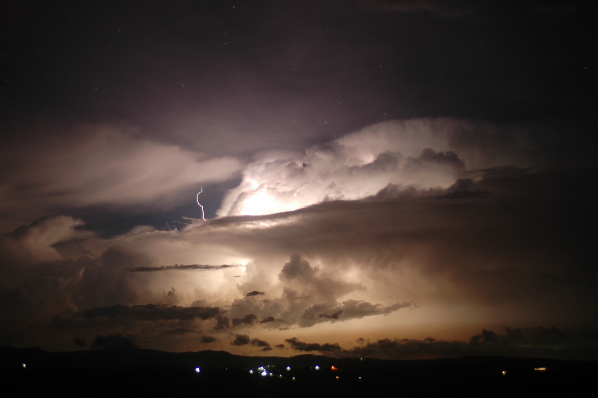
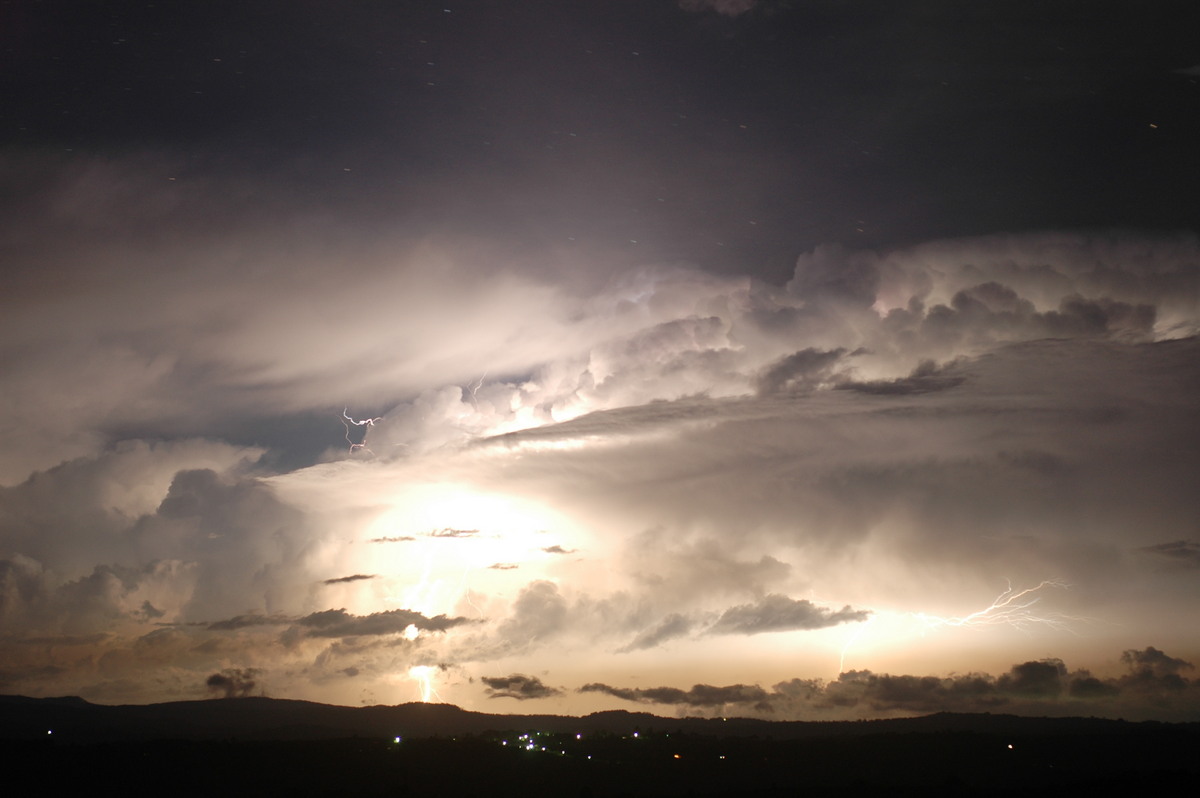
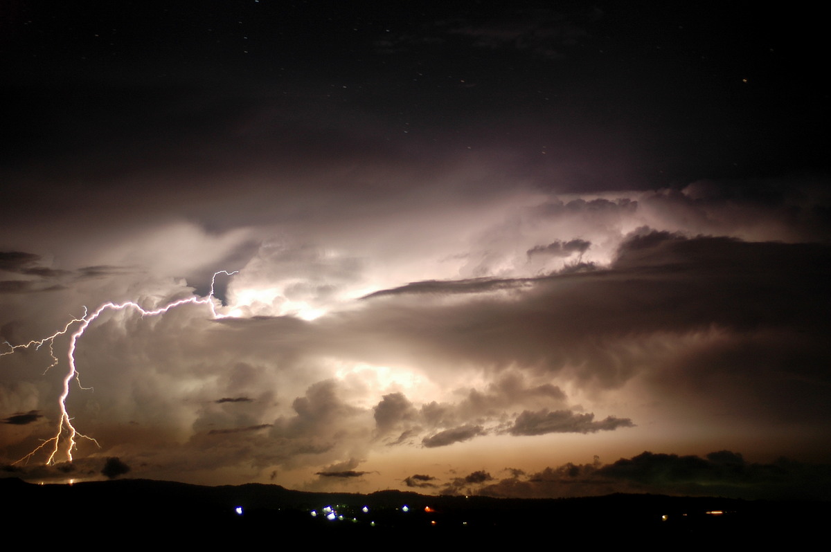

Cells were still sitting in almost the same spot first thing in the morning.
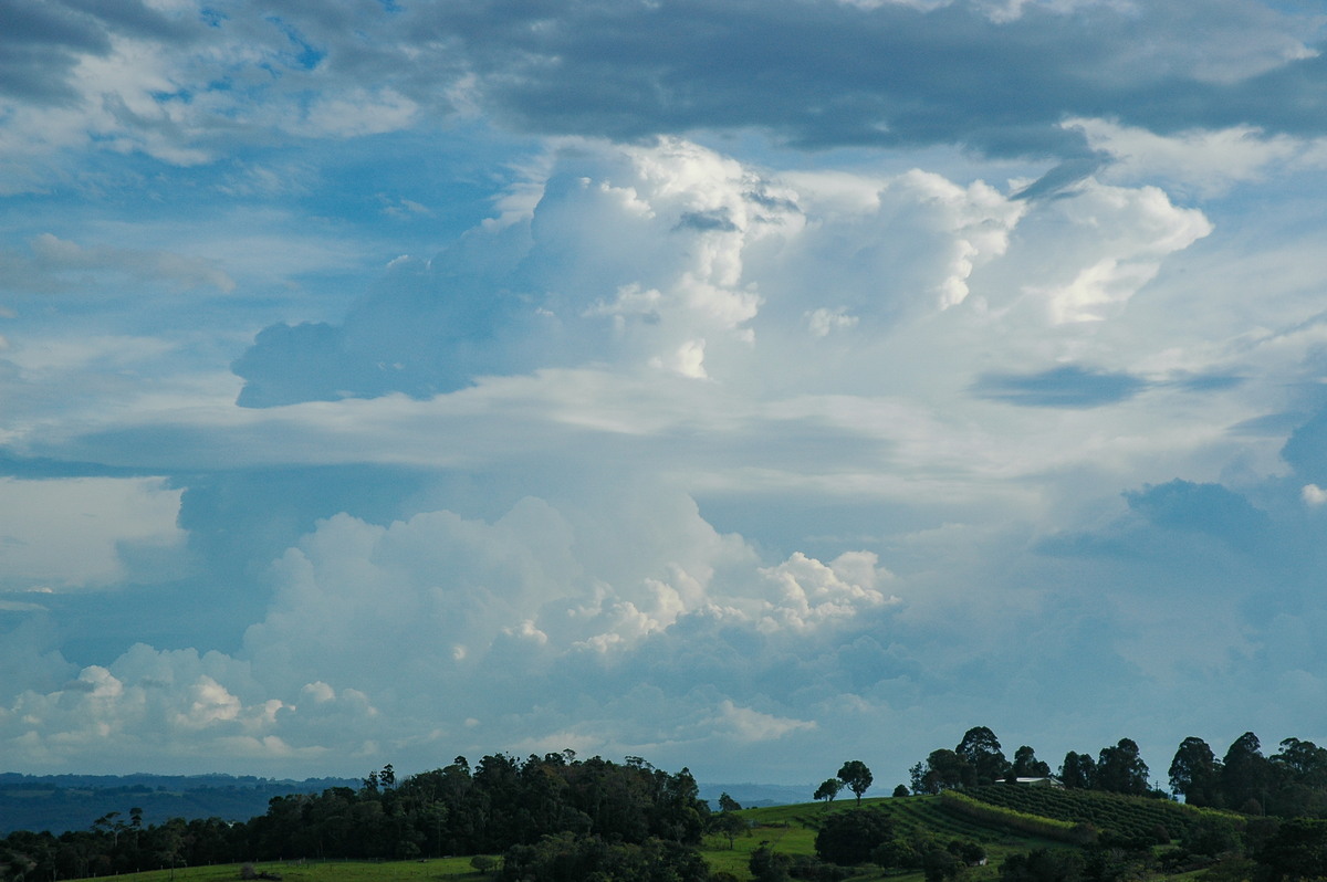

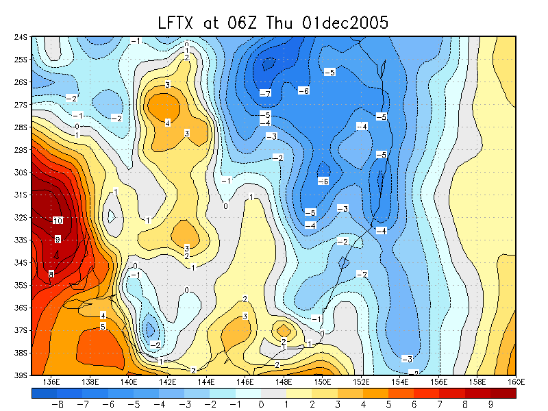
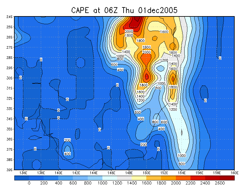
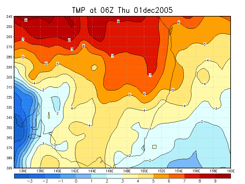
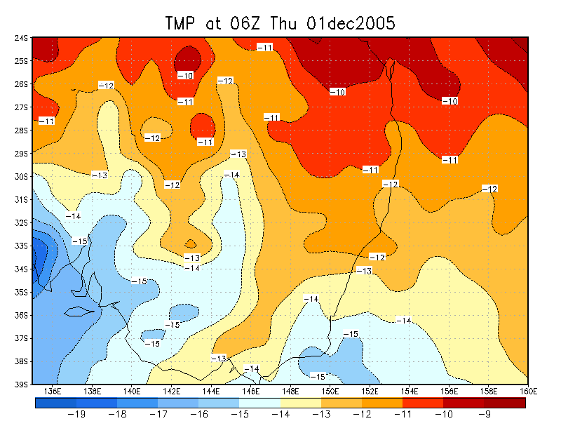
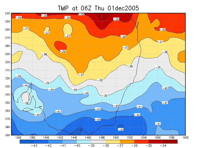
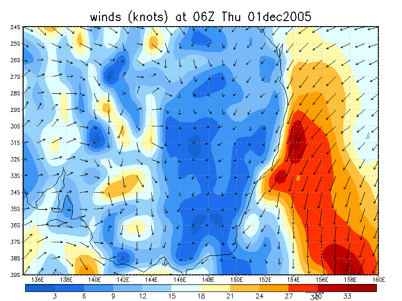
The setup for this afternoon was very good with plenty of instability, great shear and fairly cold air aloft - Brisbane sounding had -11 at 500hPa. There was great turning with height and cells would likely head ESE or SE in the northern parts of the Northern Rivers and perhaps east from about south of Grafton. There was certainly an expectation that the southern parts would be better off for chasing.
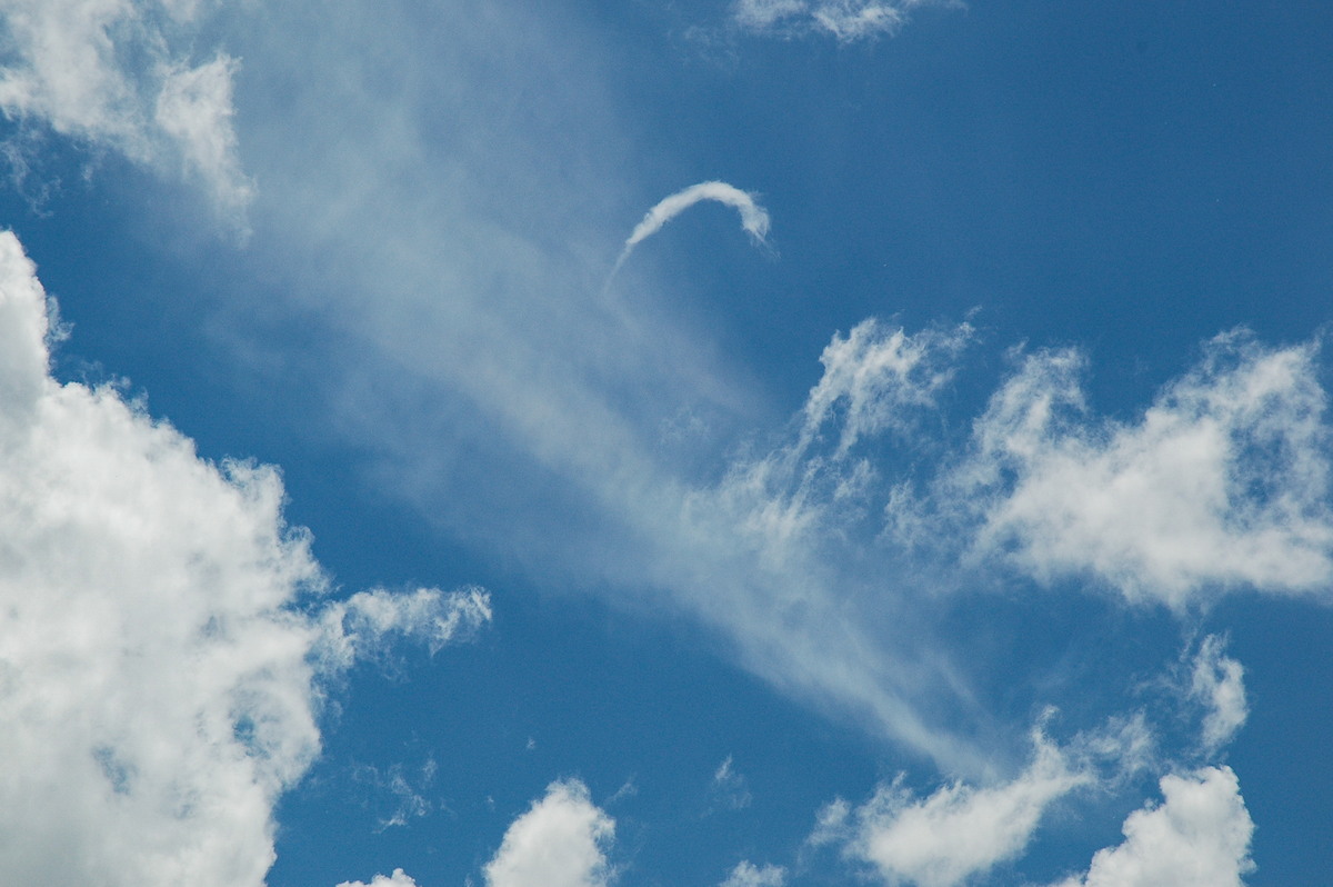
Dave Ellem and I headed off on chase after I finished work at 1pm. Activity had developed to the northwest along the border ranges and was already tracking towards the SE. A lucky sign was a horseshoe vortex observed during the drive between Lismore and Casino.
The first storm of the day was at our regular spot a few ks NW of Casino. Activity was getting widespread but it looked very disorganised at first and was not lightning active.
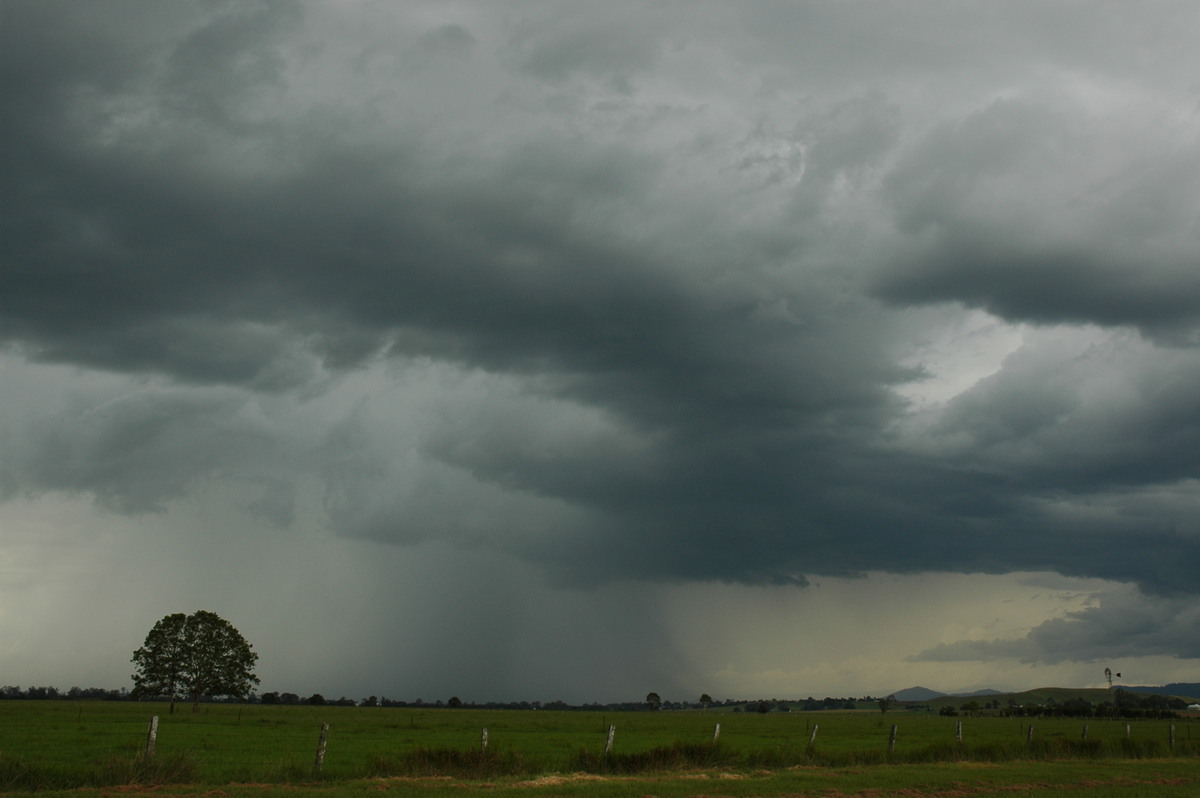
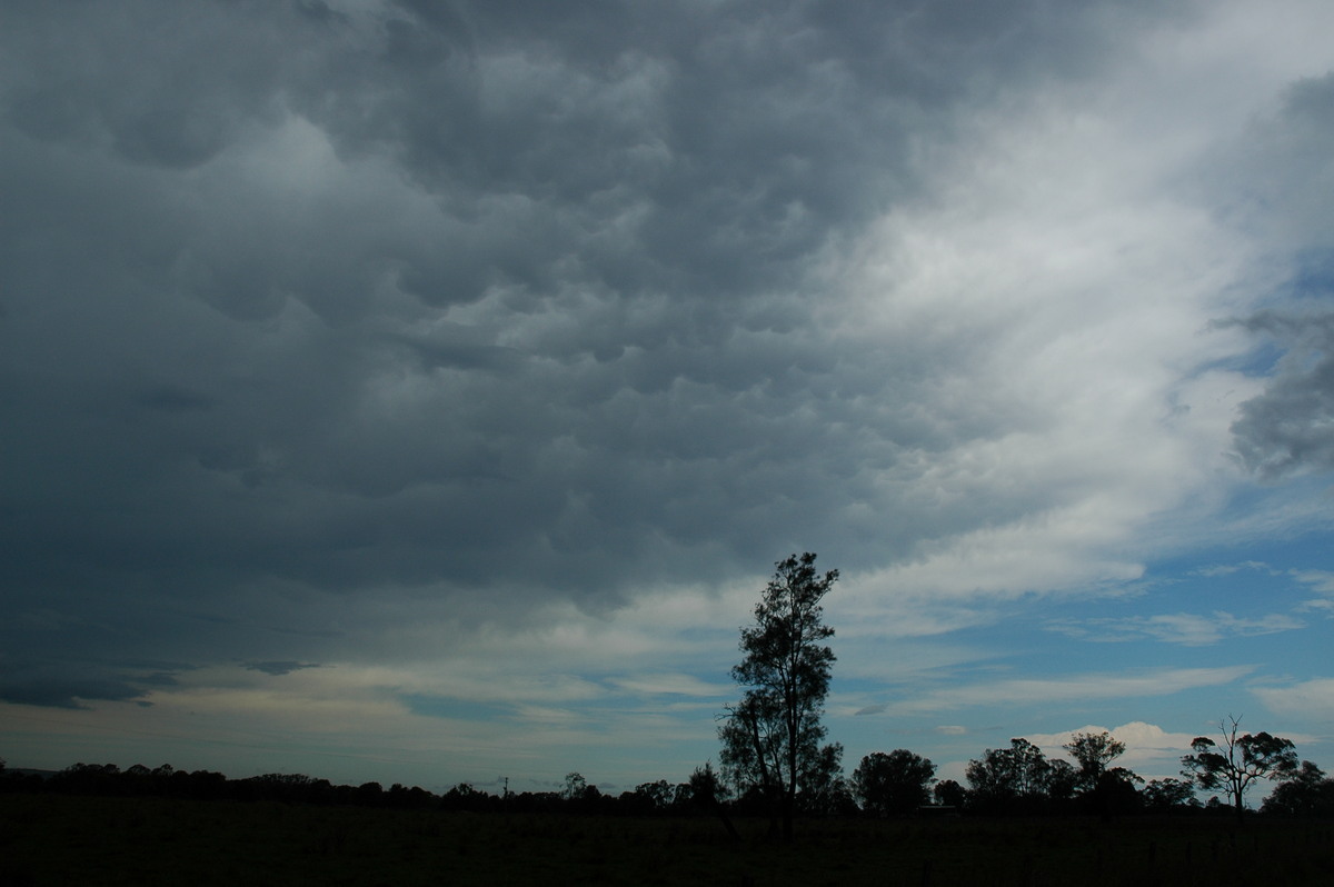
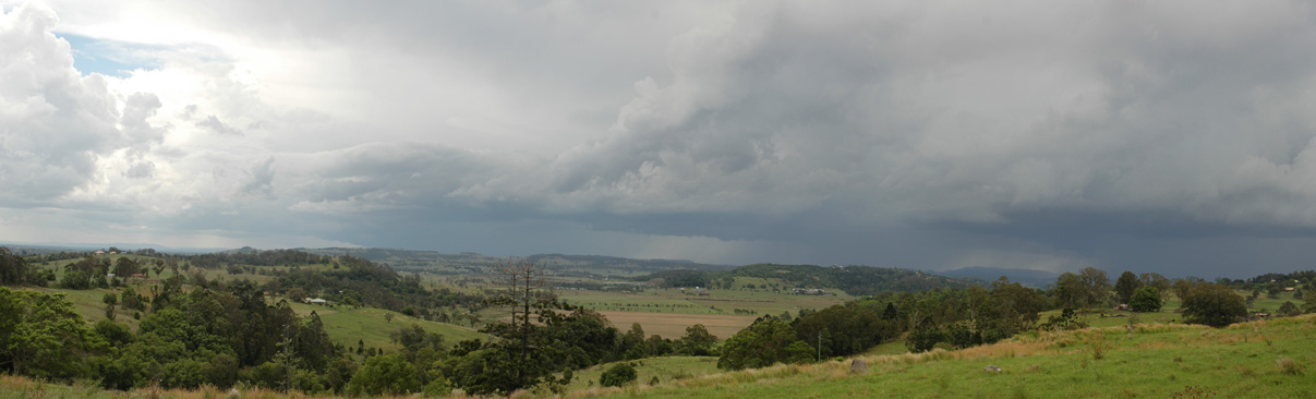
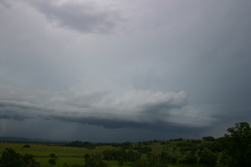
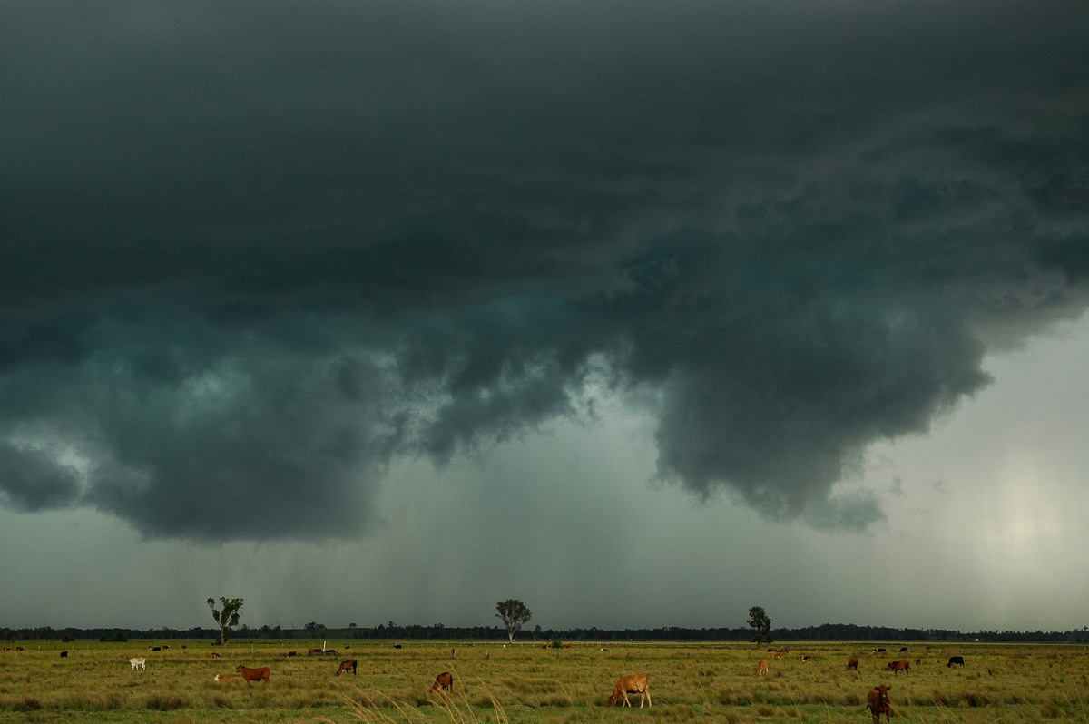
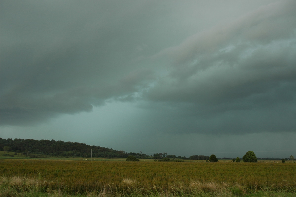
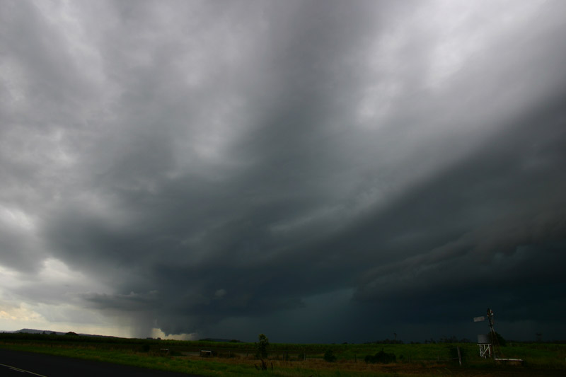
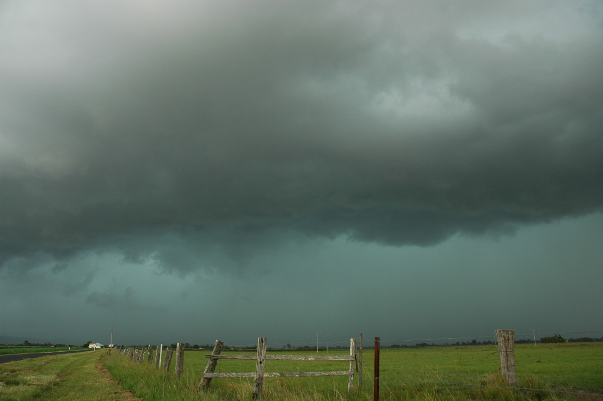
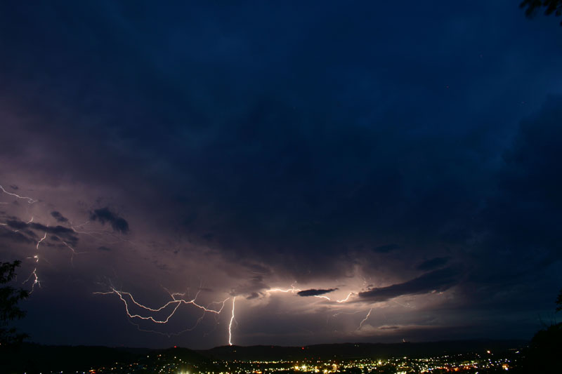
It was quickly advancing towards us, so we decided to head SE along the Coraki Woodburn Road from Casino to keep ahead of it. The line of activity started to get far more interesting from 3pm onwards. We were now near Tatham and watching a rapidly evolving line of storms. Storm features were very nice, lightning had become active, and a strong mammatus filled anvil spread to our east.
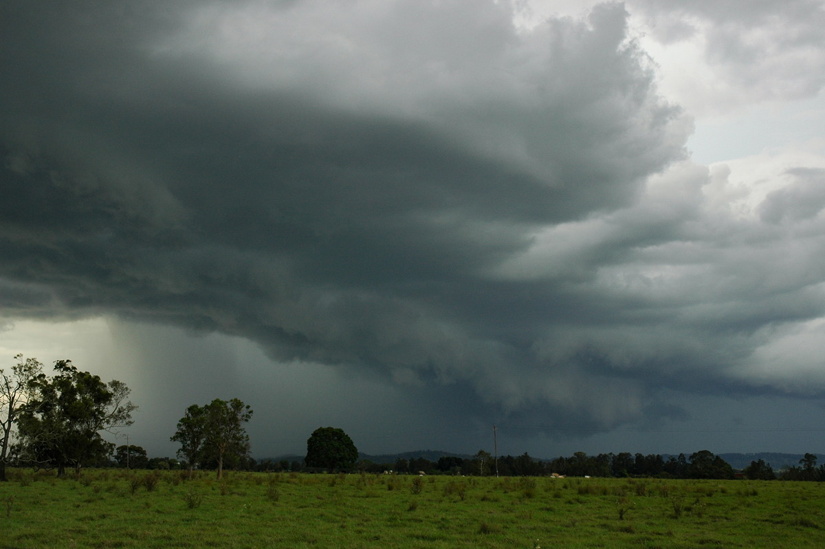
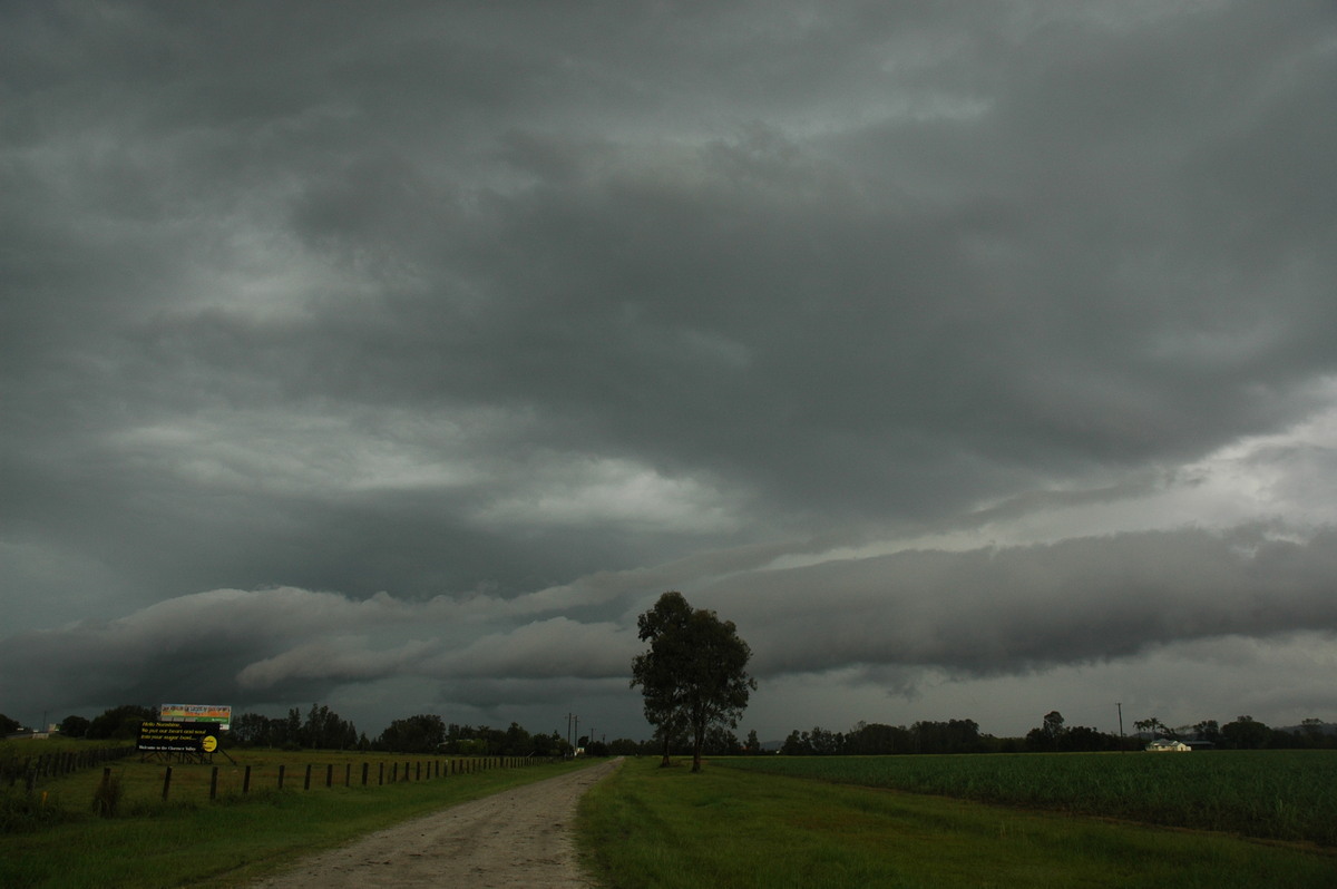
A quite impressive shelf cloud feature formed in two places with one looking like it would head over Lismore. Ray Mullens took these photos from Goonellabah.
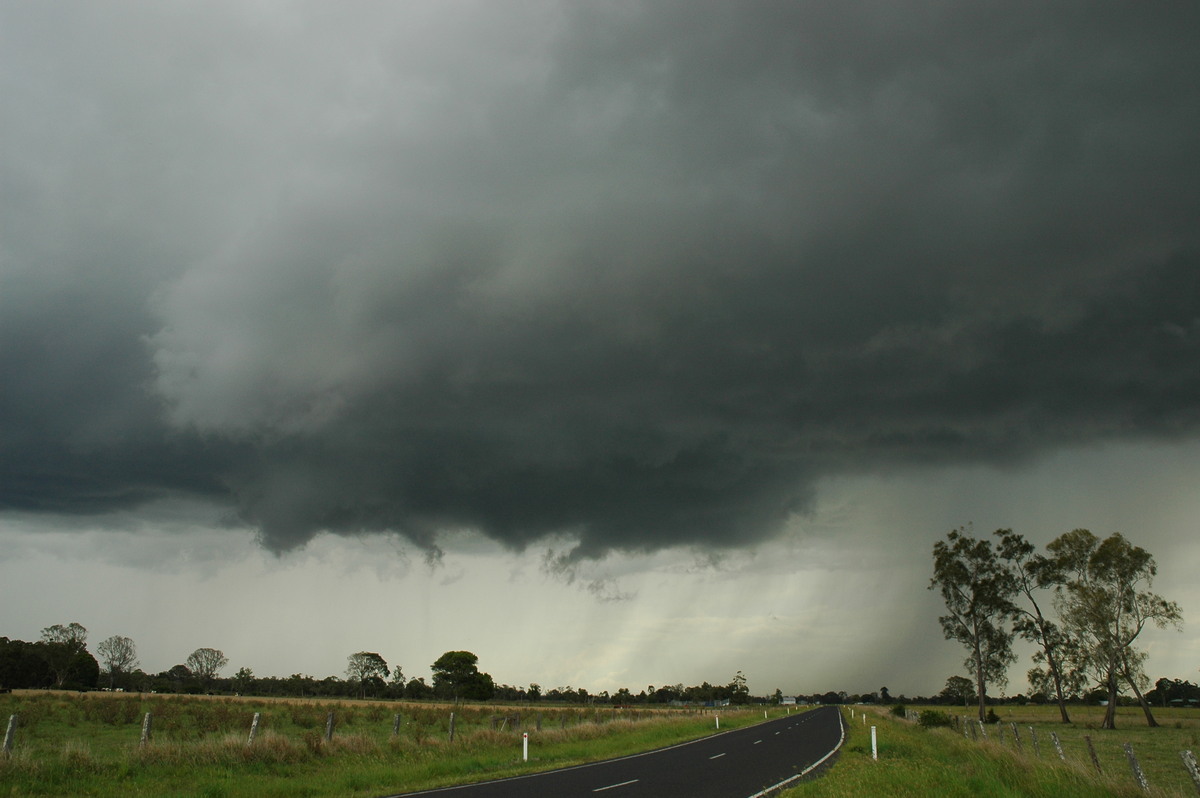
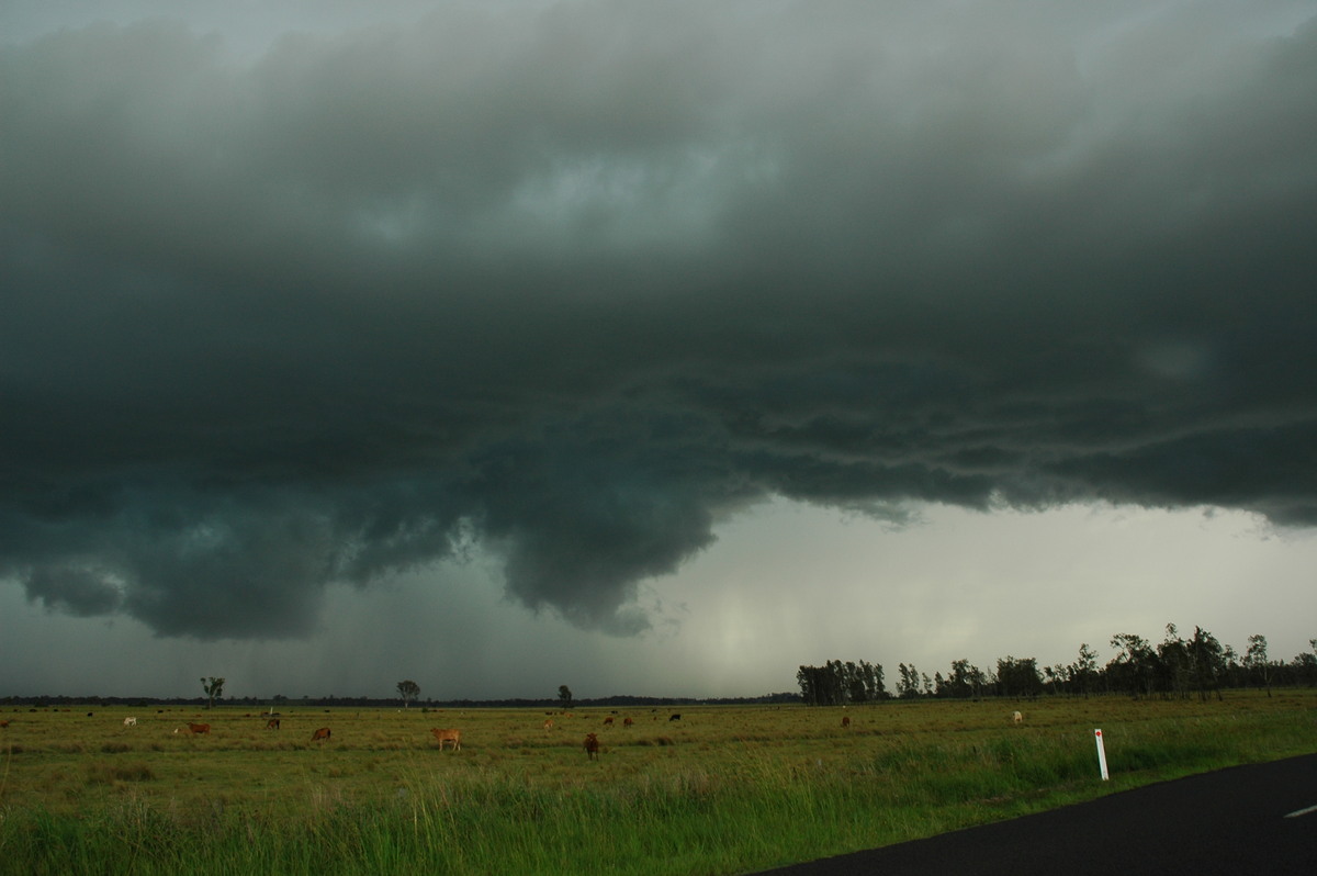
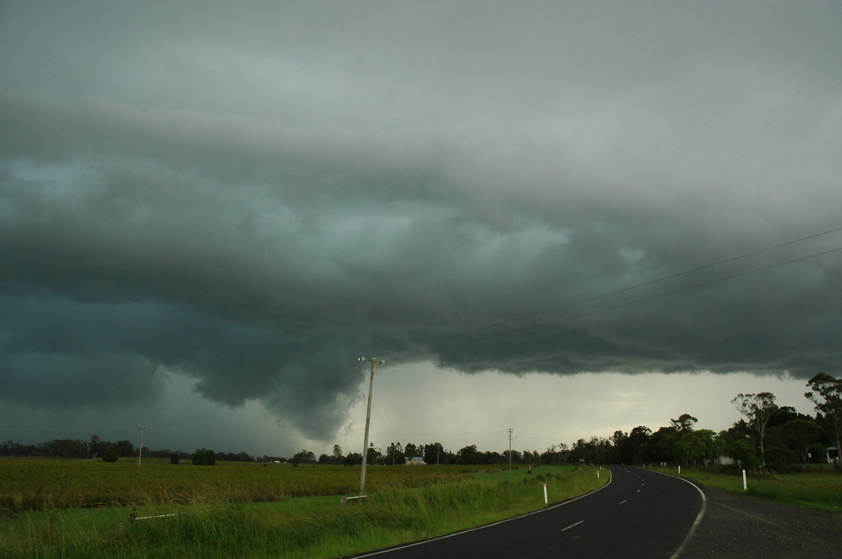
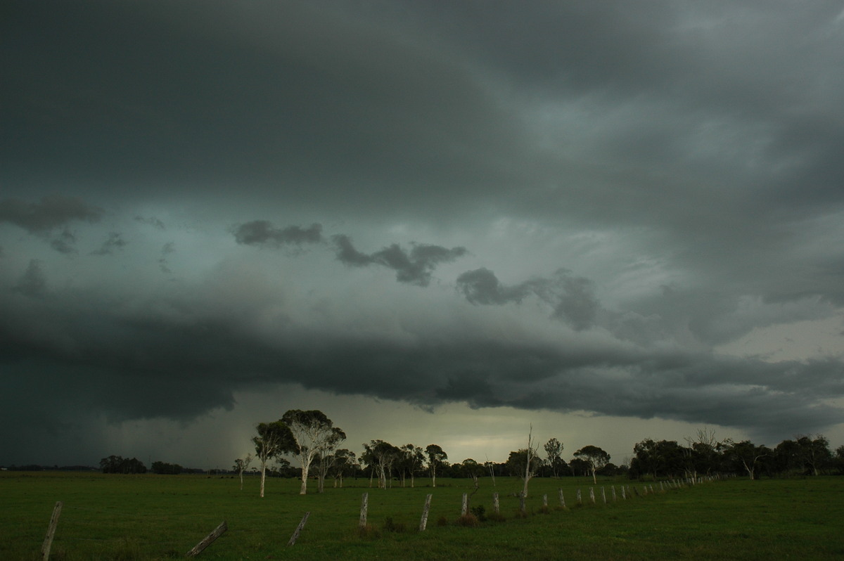
Rodney Wallbridge also photographed the development while on chase south of Lismore.
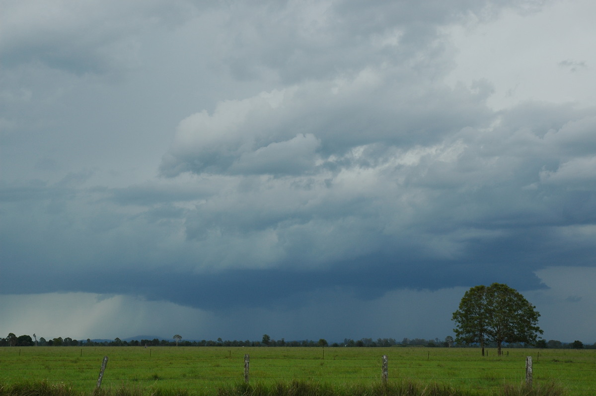
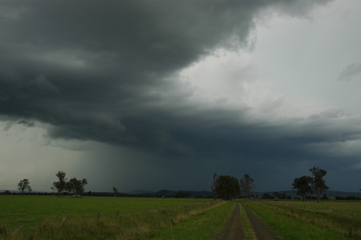
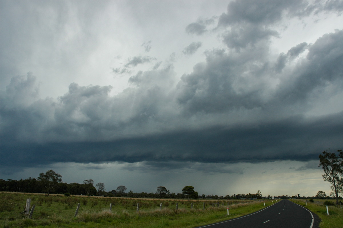
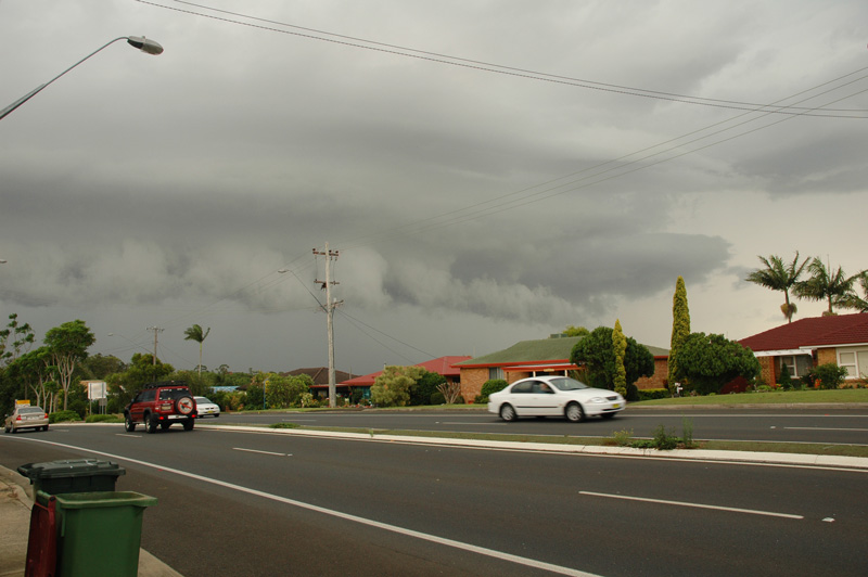
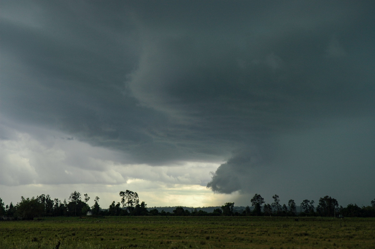
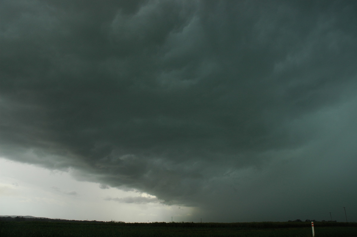
Strong updrafts kept shooting up on the southern flank so we decided to keep heading SE to remain ahead of it and watch the action. Near Coraki it had become very exciting with powerful CGs hitting just to our west and a very mean and green looking gust front just behind.
We could see that new updrafts had gone up south of this but would be unreachable in time due to the 30ks of heavily timbered country south of Woodburn.
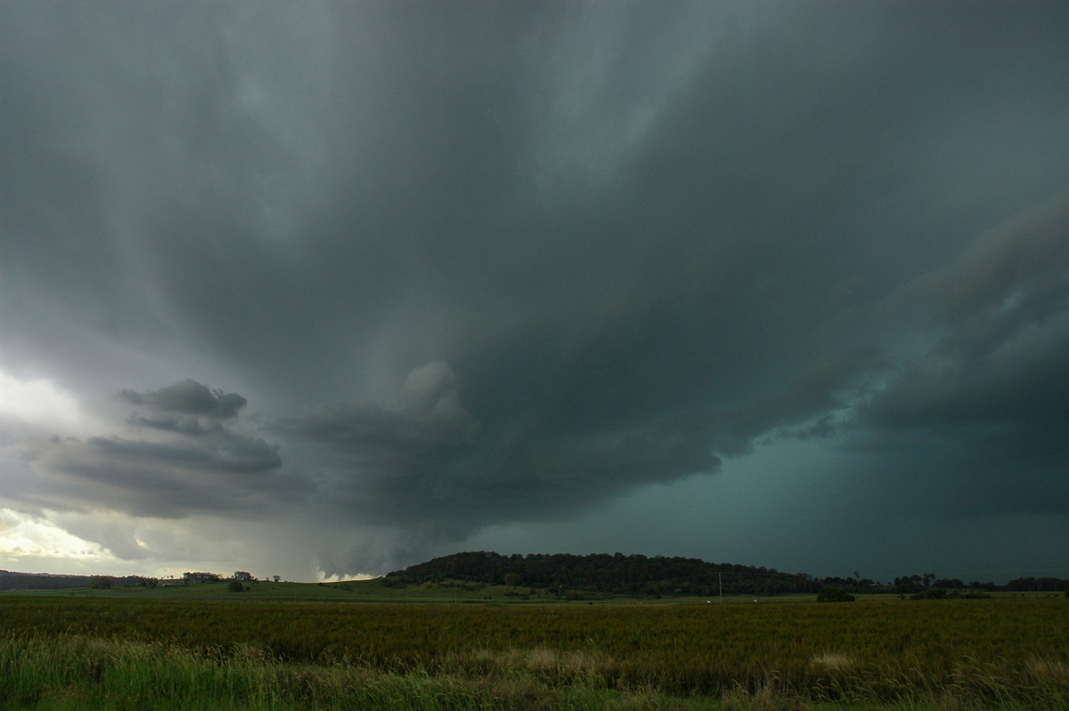
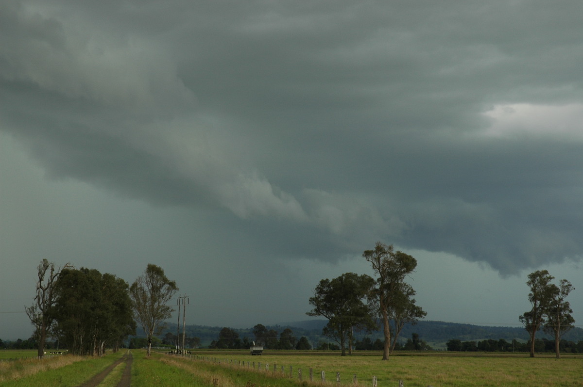
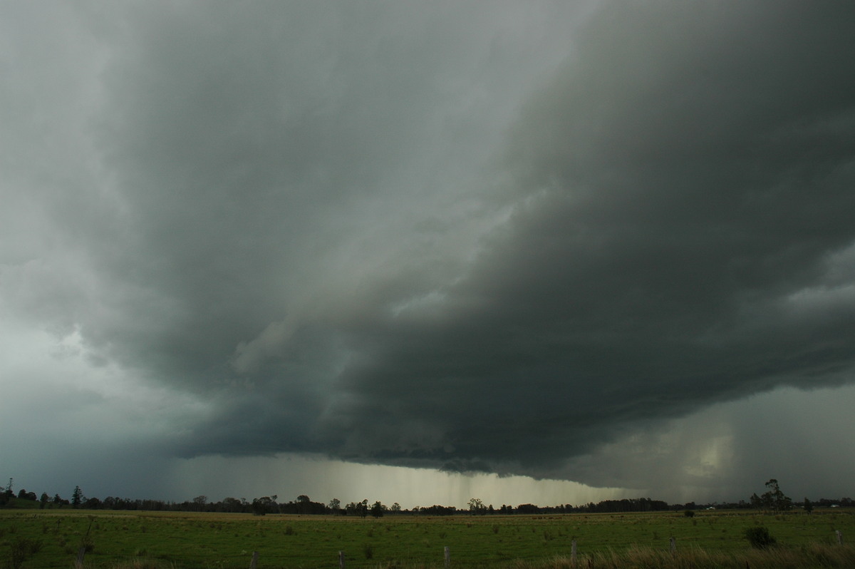
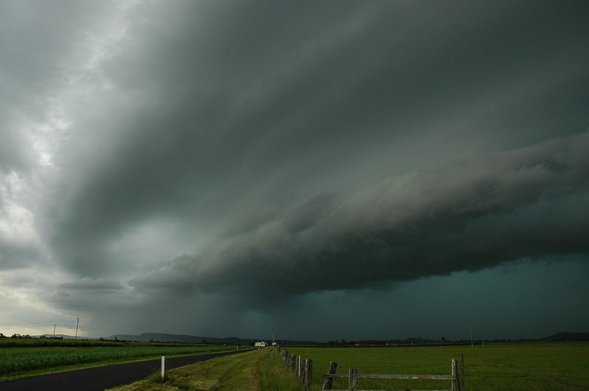
Rodney's perspective:
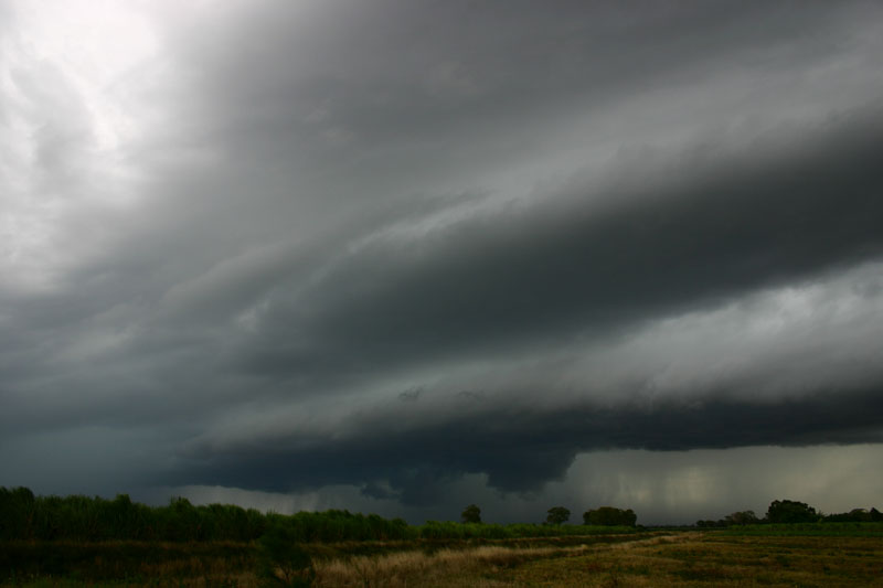
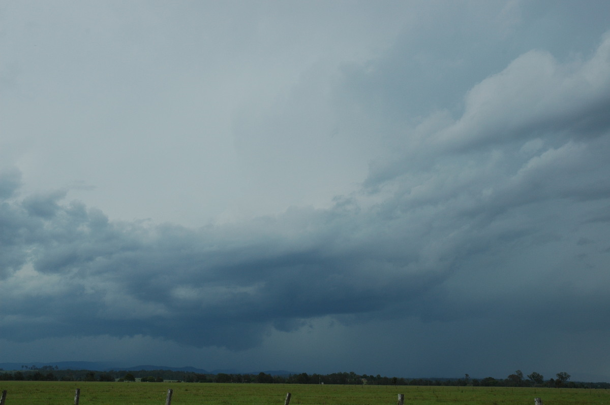
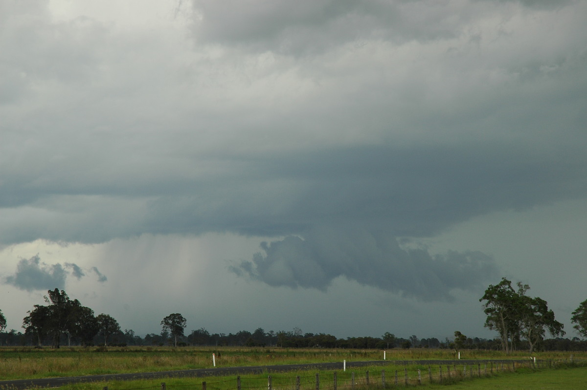
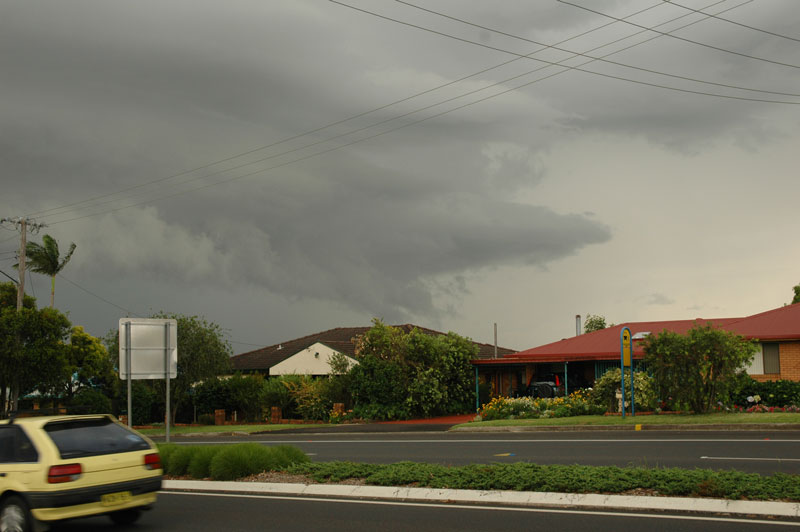
We stopped at Woodburn and let it pass. The green tinge to the base structure was very impressive. Rain and wind hit our location but the core was just to the west.
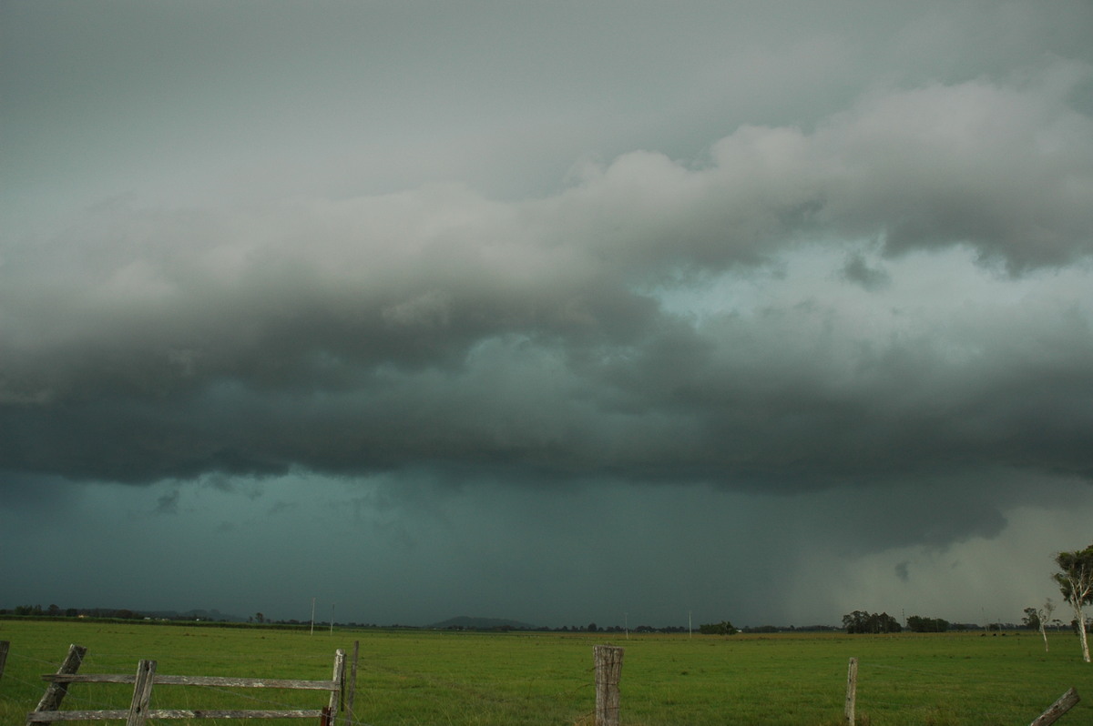
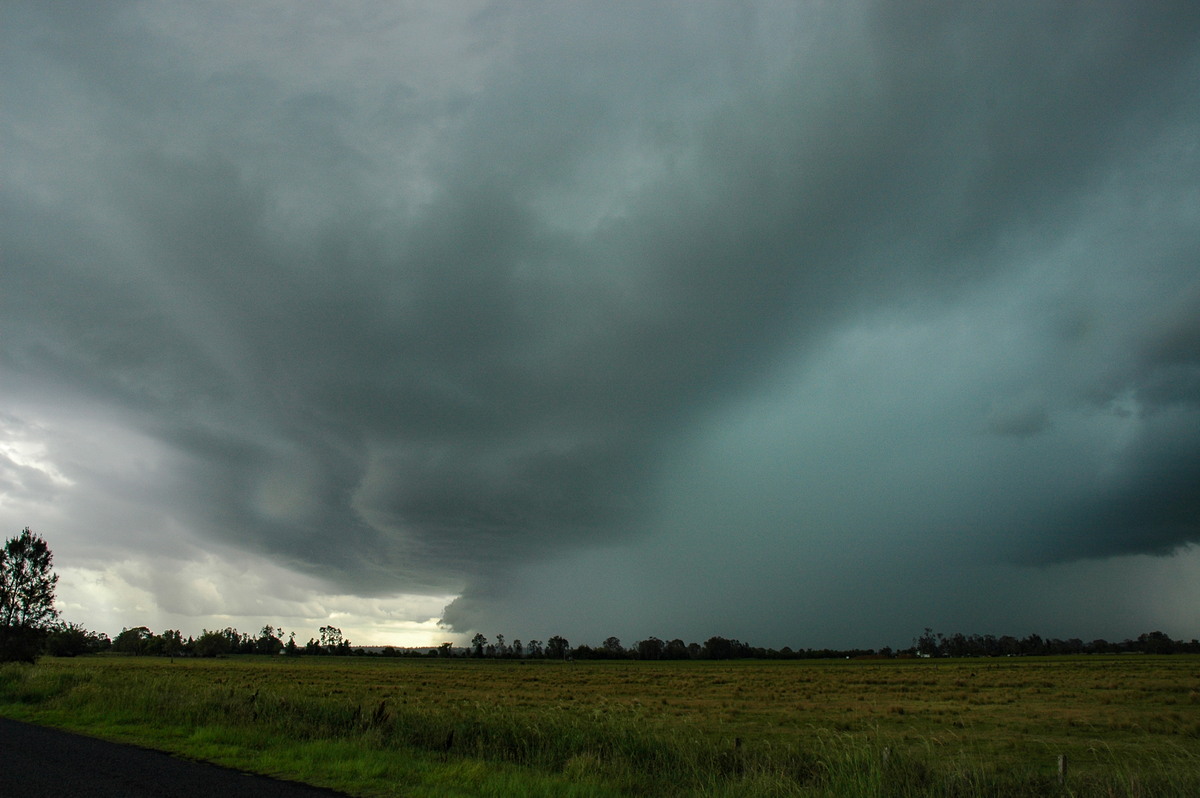
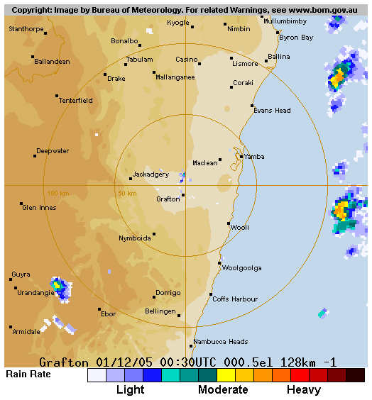
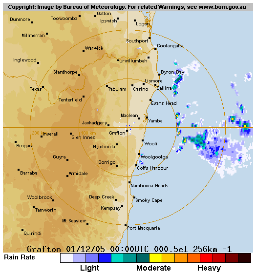
Radar updates revealed a strong storm was heading NE from the Grafton area, while this line of activity we had been chasing was still heading SE and would likely interact near Maclean.
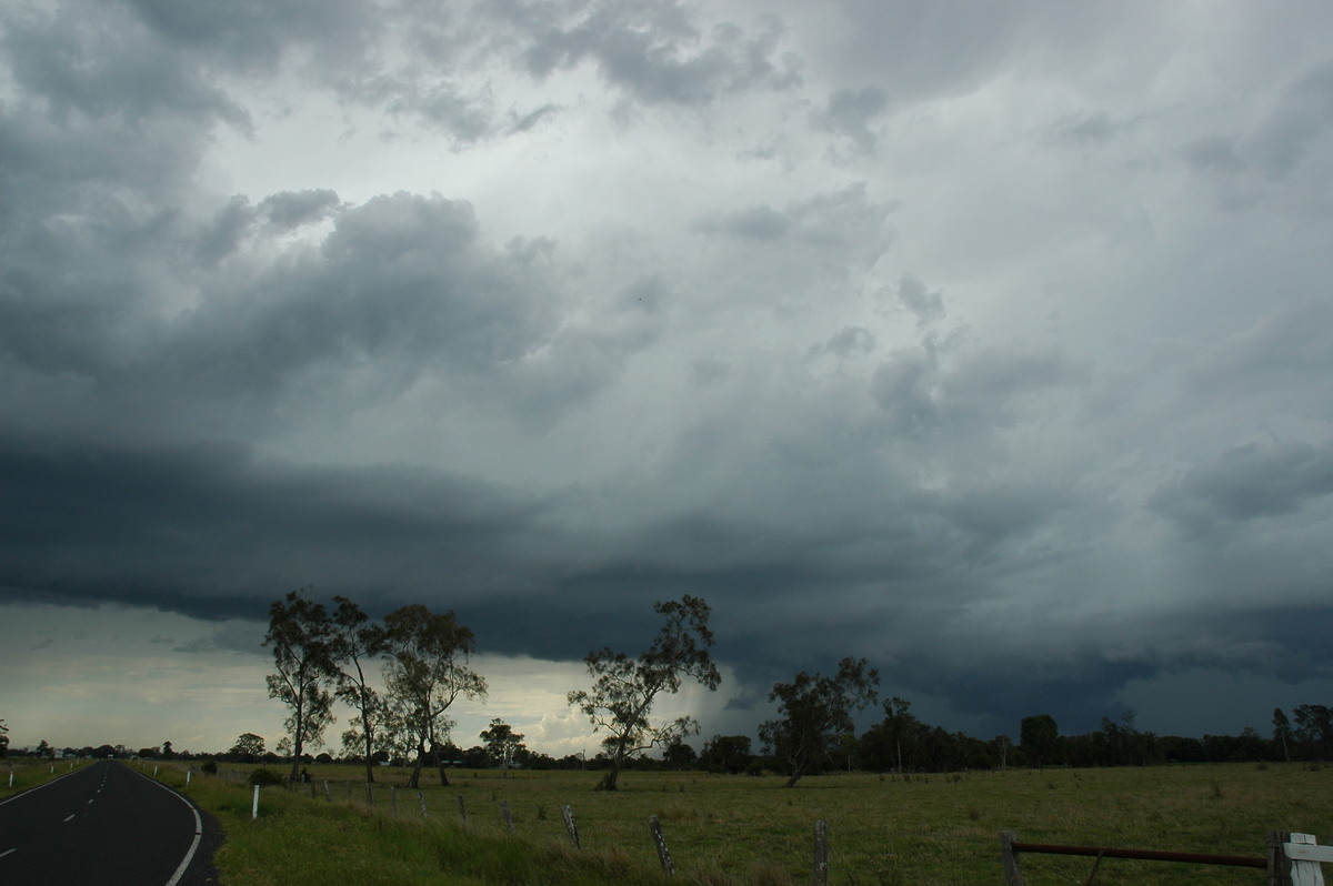
We let the rain ease off before deciding to race south and hopefully see the action coming up from the SW. As we came out of the treed area near the Pacific Highway Iluka turnoff, it was a little confusing about what was going on. There was some interesting structure just to our WSW and cold outflow from a lightning active storm to the south.
Truckies talking on UHF soon gave us some clues. The Pacific Highway was blocked to traffic from felled trees south of the southern entrance to Maclean ! Next we heard reports of widespread property destruction and hail drifts ! Wow, where had that occurred ? Ashby... ok, had to check that on the map. We drove SSW then crossed the Clarence River and into Ashby (which is across the river from Maclean).
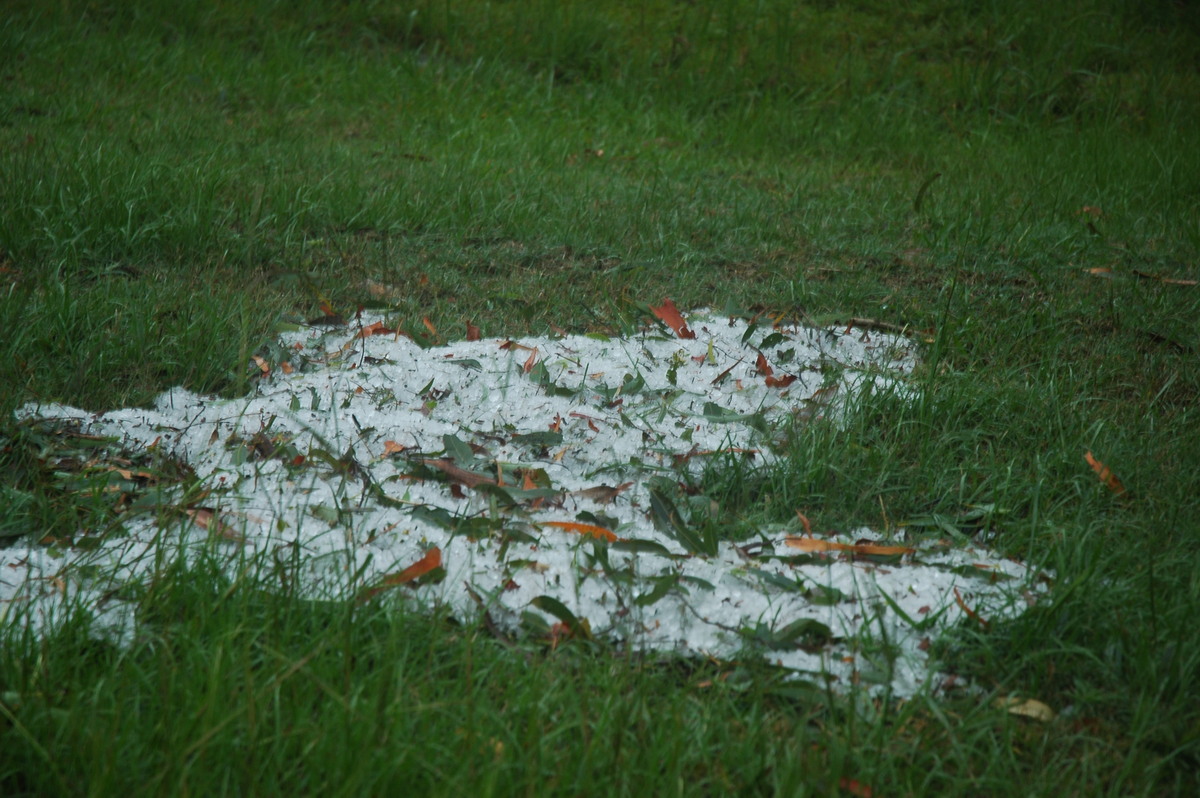
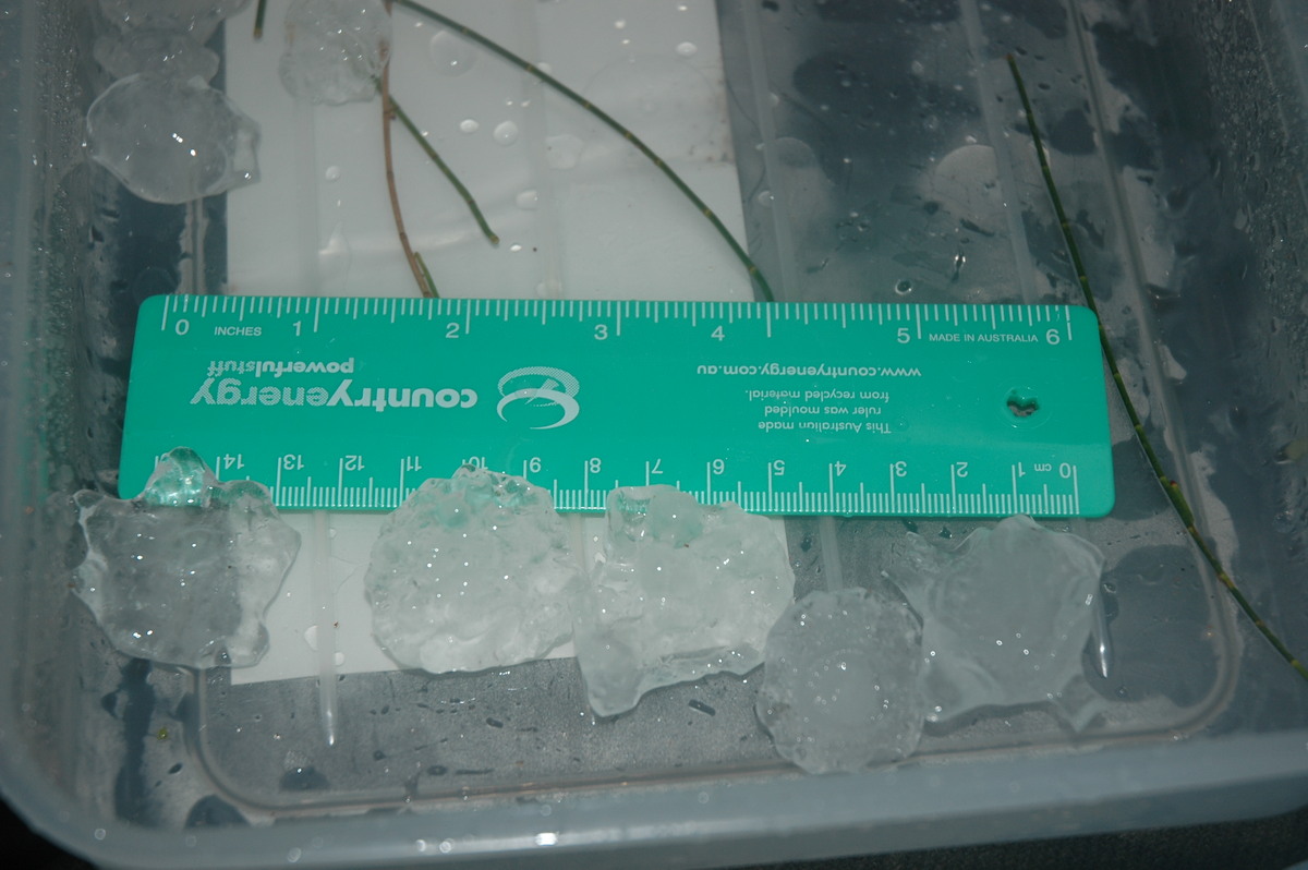
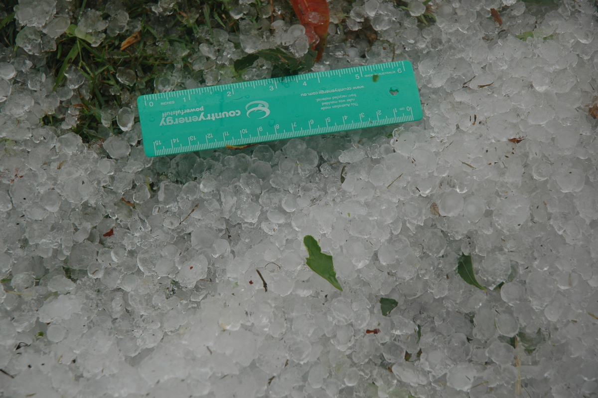
We very quickly found the hail drifts and plenty of damaged trees. We drove around to find the biggest stones and measured some to 4cm diameter, but most was 1.5 to 2cm. Another storm persisted over the area and dumped some heavy rain while we collected the hail.
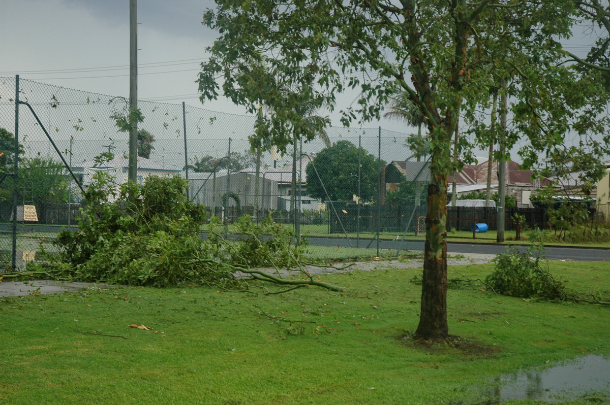
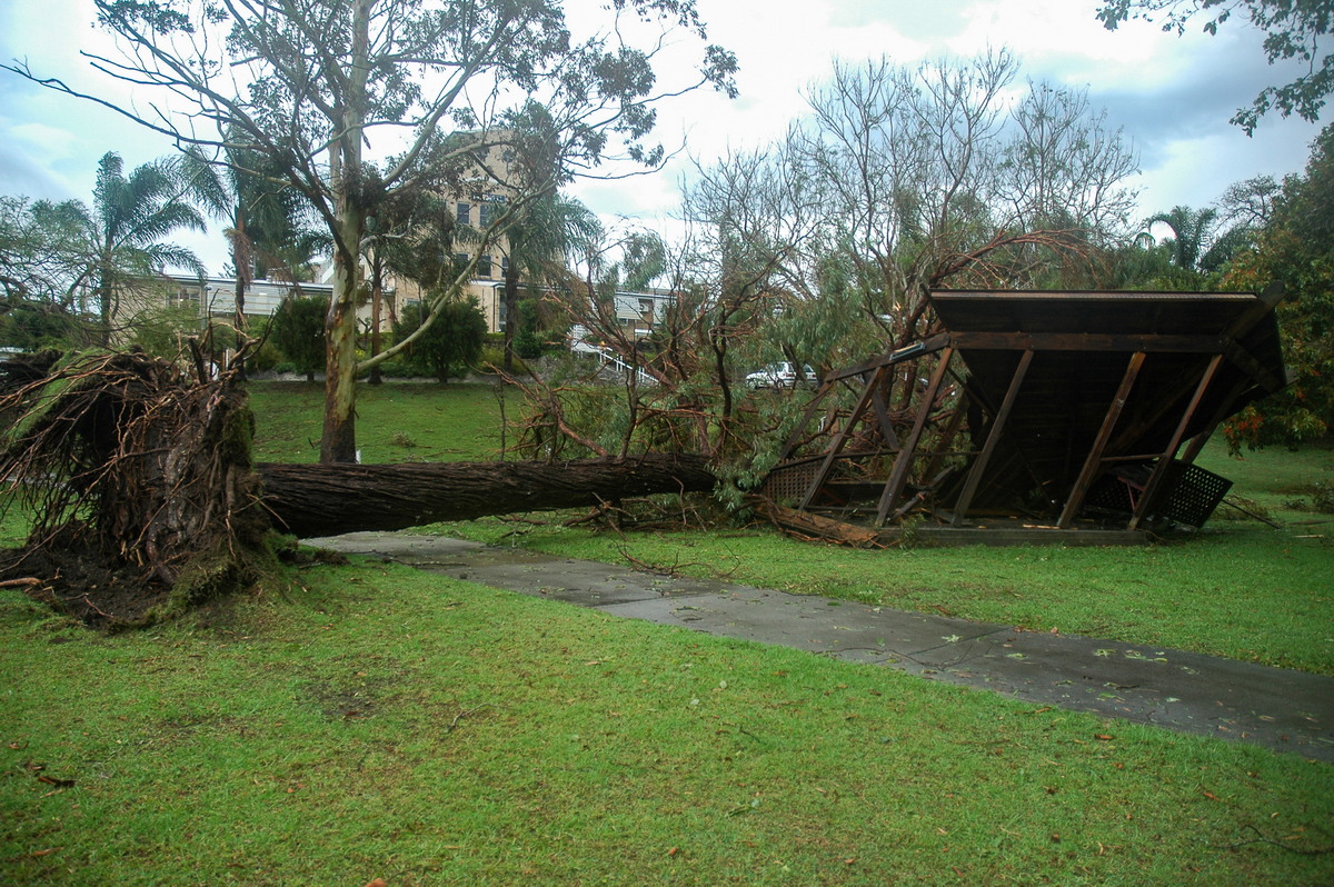
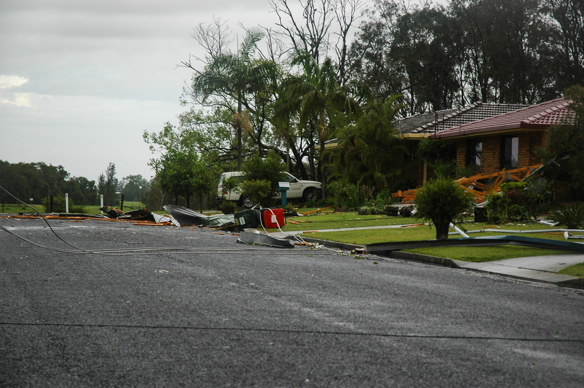
The chat on the radio was enough to entice us to have a look at Maclean. The northern entrance to town was fortunately clear for traffic. It was very obvious the winds had been violent in town. Debris along the riverfront road was everywhere and windows facing W-NW were smashed on many homes. We later learned that wind blown 4-5cm hail caused the breakages. Streets behind the riverfront one, and mainly north of the CBD appeared to have copped the worse damage. Some structures were destroyed, large roof sections removed, power lines were down and other debris scattered about. It was quite amazing to see so much damage in a town.
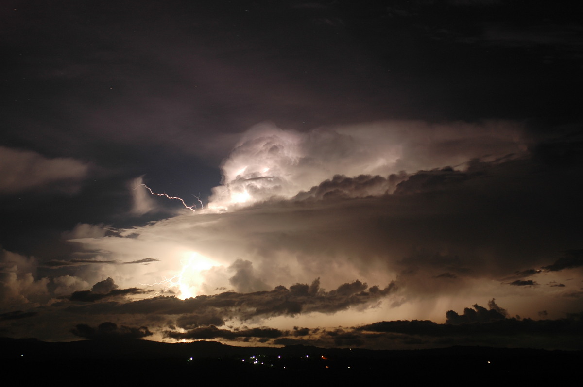
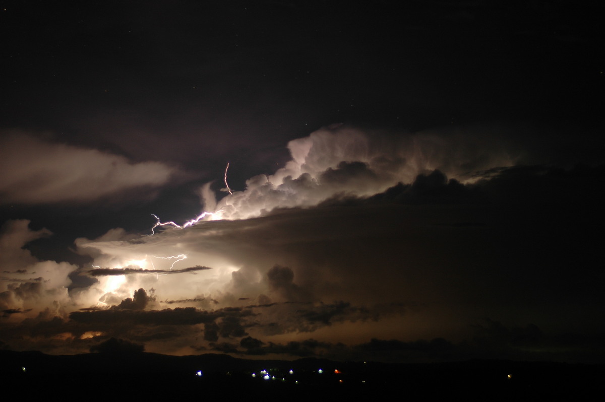
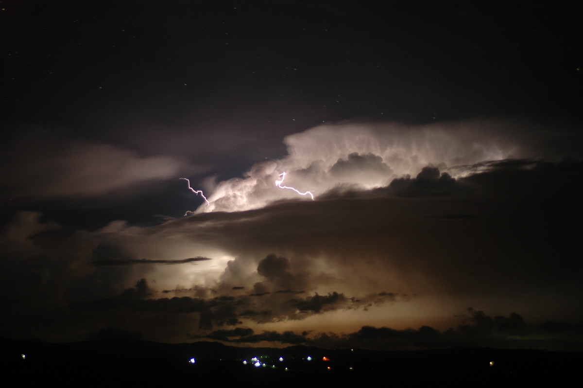
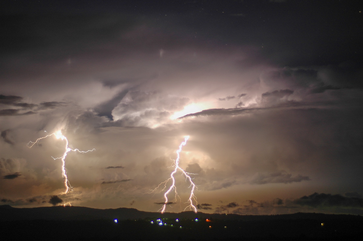
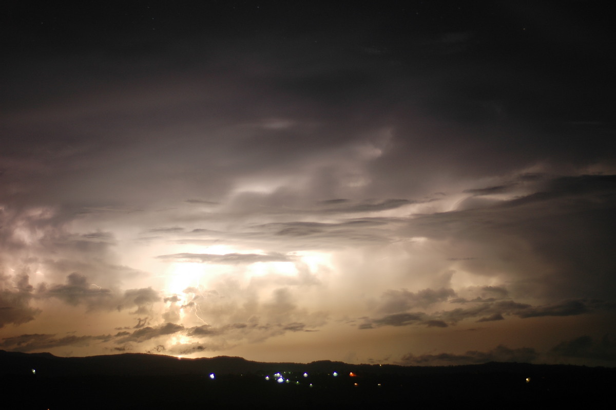
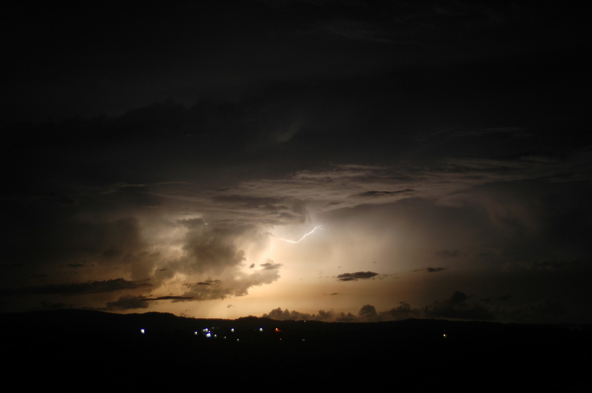
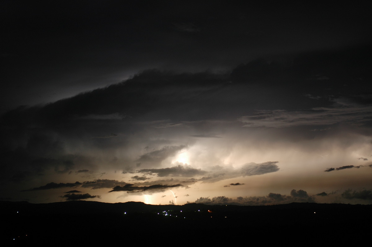
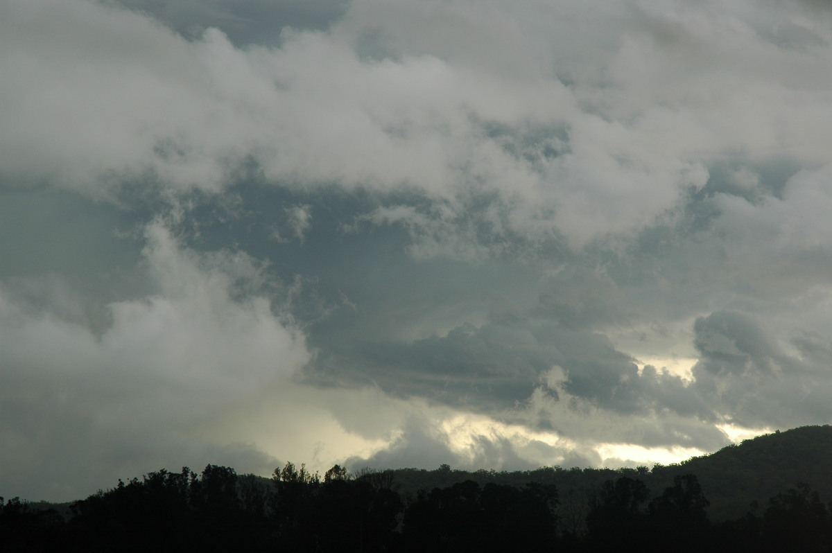
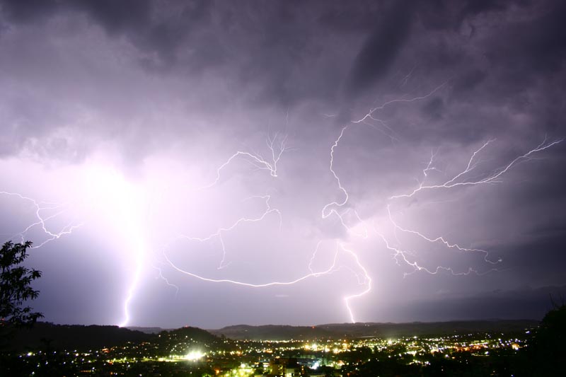
We left Maclean about 6.45pm aiming for further storm activity developing in the western parts of the Northern Rivers. Storms were now all heading NE. The aim was to get some lightning from these storms. This proved a little difficult due to too much light at first, anvil rain and then the cells weakened.
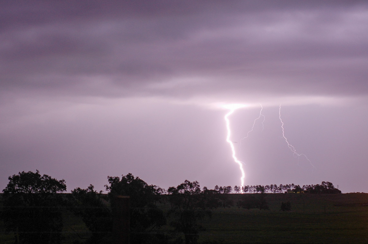
However, Rodney Wallbridge managed to captured some of the amazing anvil crawler lightning from Lismore:
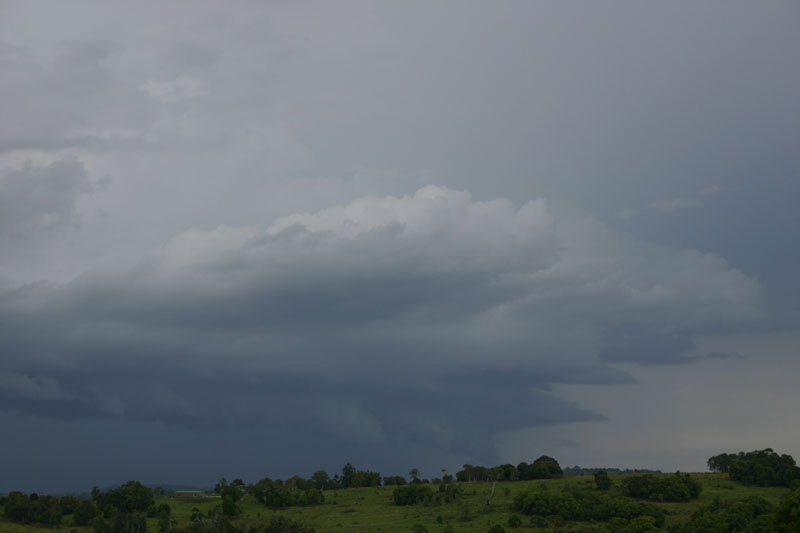
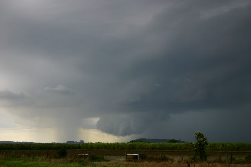
Radar shows that a small supercell formed on the southern end of the line we had been chasing between Casino and Woodburn. It was at its most intense just as it passed through the Lower Clarence towns of Ashby and Maclean while tracking SE. The storm collapsed as it interacted with the storm which was moving NE from the Grafton area.
Other Observations
Susan from Maclean reported the following...
"The town has been declared a natural disaster area. I have a house which is half way up the very steep hill which Maclean is built on. The road runs basically from the top of the hill and down to the river averaging about a 45 degree climb. I have spoken to a few of the people there as I was checking on damage to the house. It seems that all the houses across the road have got damage to them whilst there is no damage to my house or any of the others on my side of the street.
"One of the neighbours directly opposite has completely lost her front veranda which was a brick base with wooden floorboards, wrought iron posts and railings and a solid roof over it which was part of the house. The house itself is of fibro construction and all panels on the side the storm came from are damaged. The shutters over the windows are heavily pockmarked from the hail and she is unable to open them. Her carport also got blown down. The paling fence at the rear of the property is also destroyed with most of the palings missing. The roofing over the veranda is gone - there are some sheets of tin hanging down but the battens are completely missing. The wrought iron is twisted as are the support posts.
"Two more houses down the street from her have got similar damage to their front veranda whilst a house up the street was completely demolished. All of this damage has happened in pretty much a straight line down the hill.
"The woman across the street who has lived in that house for 55 years and lived in Maclean for 87 years, says she has never been through a storm like it and believe me, Maclean gets its fair share of severe weather. She says she heard the storm and thunder all around her with wind and rain and clatter of hailstones, then above that she heard what sounded to her like the roar of an approaching train. She says she has heard nothing before like it. She also says the noise when it hit was incredible and she heard the tearing sounds of her veranda being destroyed and the cracking noise as the brickwork of the veranda failed. She says it all happened very fast and then the noise just vanished.
"My two elderly aunts who live a block further down the hill on the same side as the damage have had no damage at all to their house and only got a little water in through the sliding doors from the veranda. However, my sister's house which is a couple of blocks away across the hill has had substantial damage to her house, basically once again the veranda area. She tells me one of the windows in the kitchen was smashed and the water was pouring in and being driven in waves across the floor and hitting against the wall and splashing back. She estimates she had about 15cm of water in the kitchen. The house is not at ground level so this wasn't flooding - it was rain.
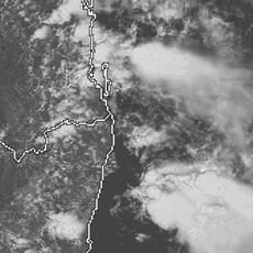
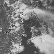
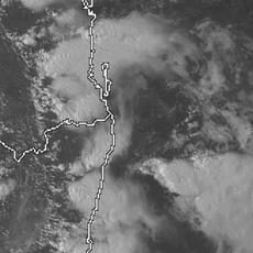
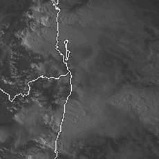
From Weatherzone and MODIS: Land Rapid Response System
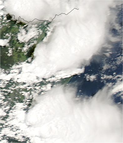 3.15pm local
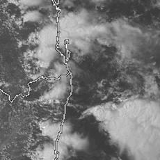
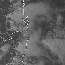
 1pm to 6pm local
From Bureau of Meteorology
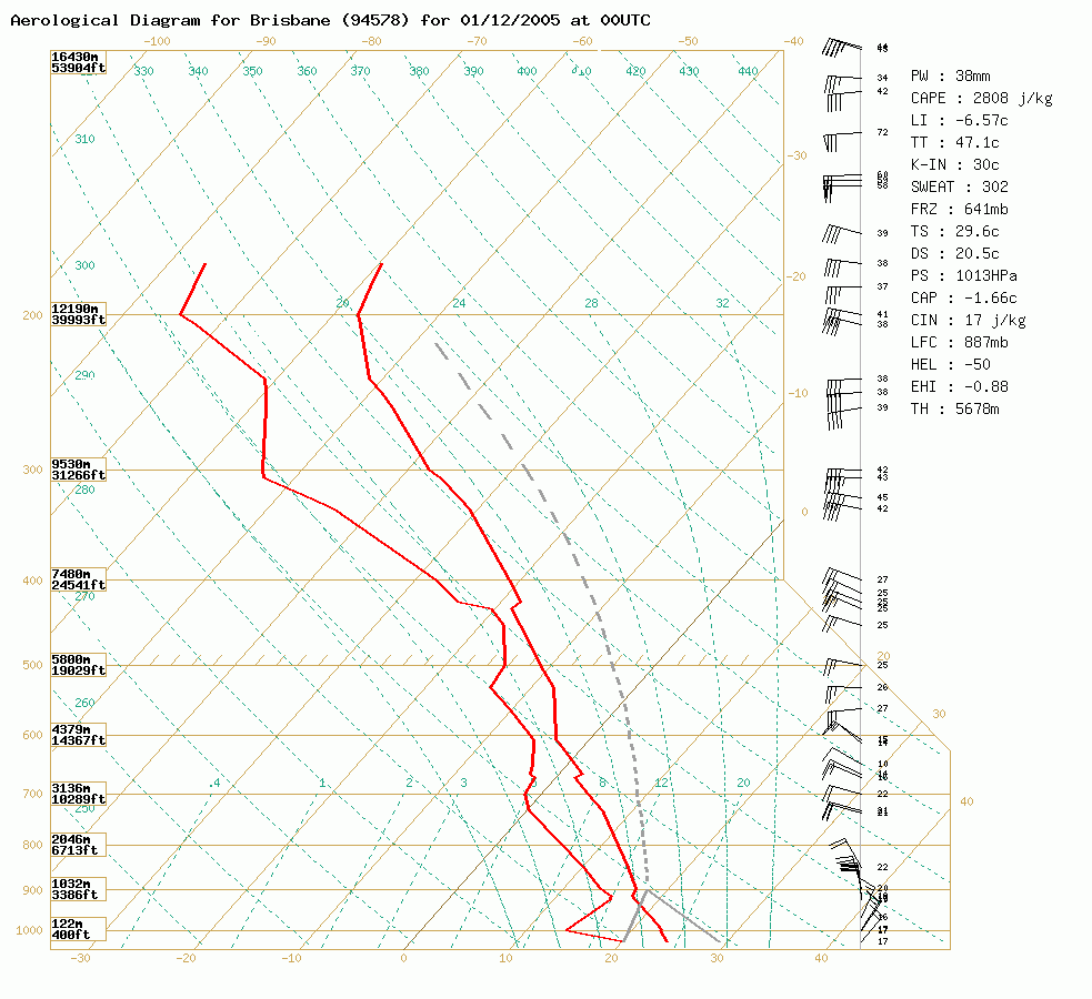 Brisbane sounding at 11am 01/12 local
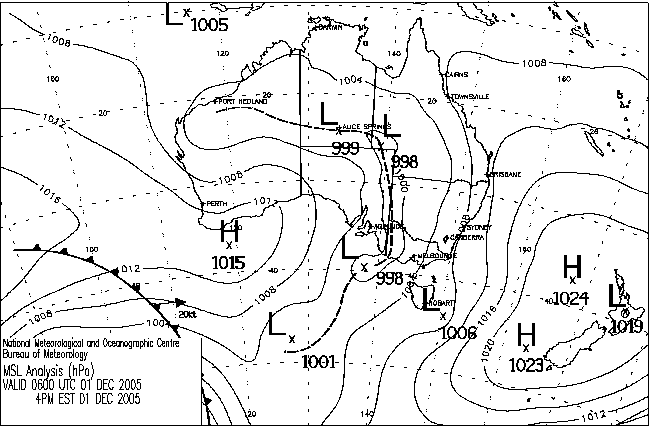
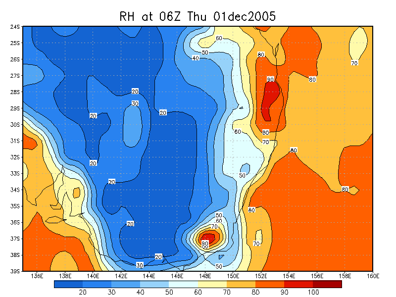
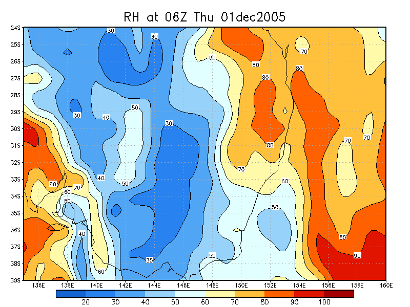
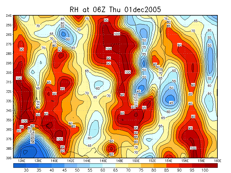
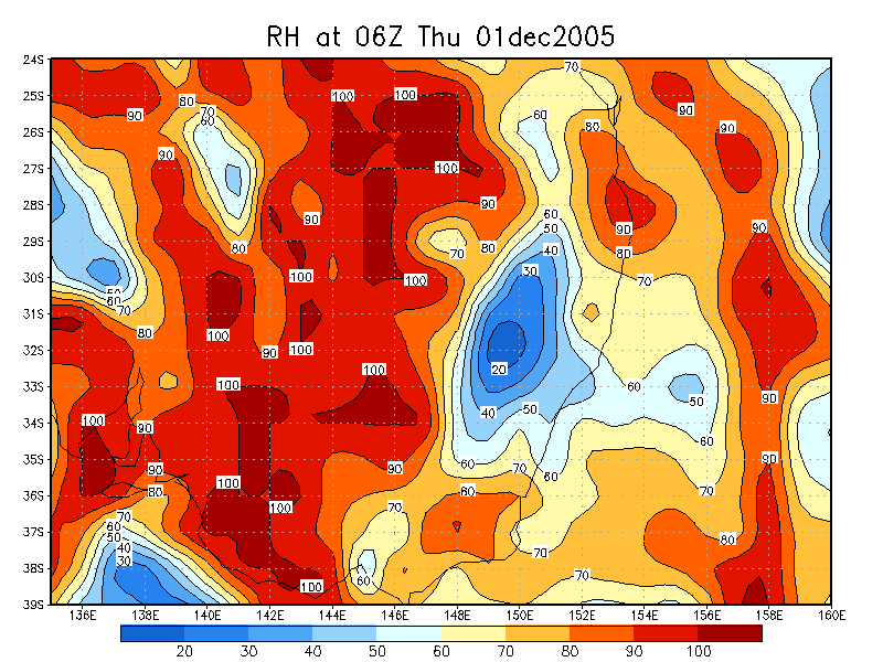
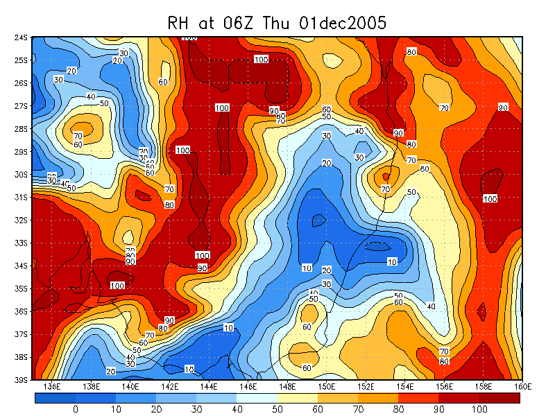
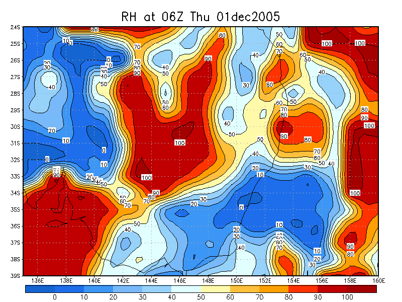
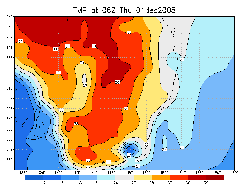
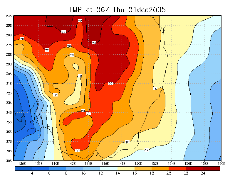
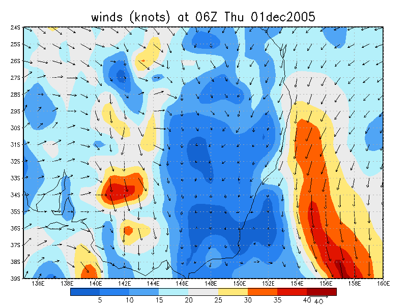
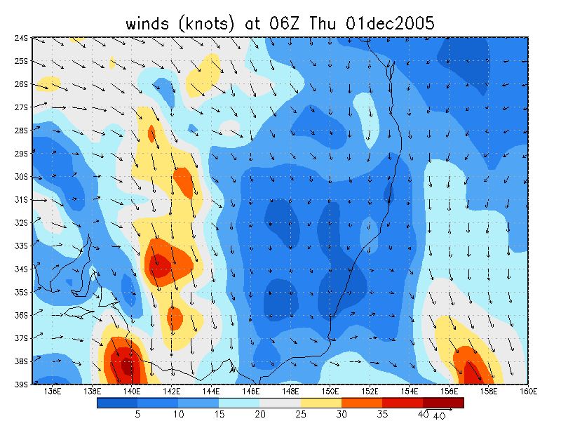
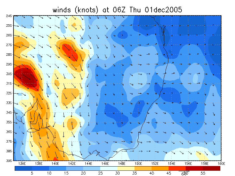
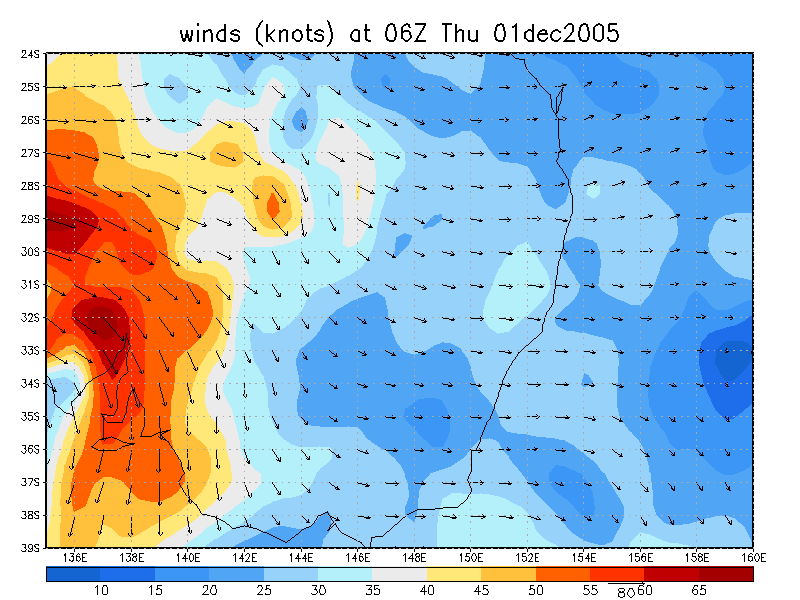
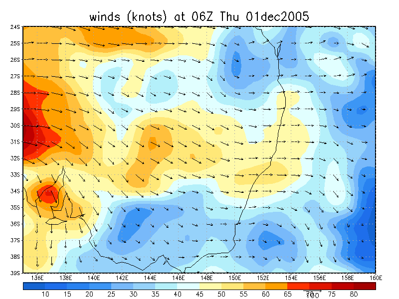
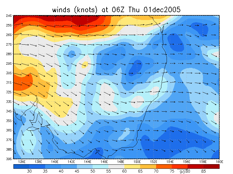
From NOAA 01/12/2005 06z analysis
|
Document: 200512-06.htm Updated: 2nd January 2006 |
[Australian Severe Weather index] [Copyright Notice] [Email Contacts] [Search This Site] |