and Chasing
[Index][Archives]
Severe Storms and Supercells across Northeast NSW and Southeast QLD: Saturday 26th to Sunday 27th November 2005
Report compiled by Michael Bath and Rodney Wallbridge
| Storm News and Chasing [Index][Archives] |
Severe Storms and Supercells across Northeast NSW and Southeast QLD: Saturday 26th to Sunday 27th November 2005 Report compiled by Michael Bath and Rodney Wallbridge |
This setup was one of those unusual cases when the GFS model predicted severe weather several days out (actually from the weekend before) and the weather that developed was quite close to the forecast in geographic location and timing. It would have been ideal to be on the Northwest Slopes and Plains during Friday 25th November but work commitments prevented this for Rodney and me. Fortunately Dave Ellem and Dave Sercombe were able to chase that day.
26th November
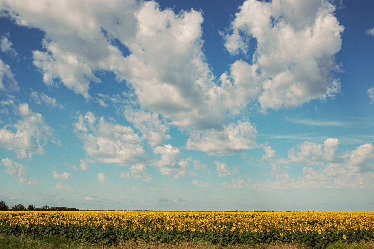
GFS predicted very good instability for most of the central west of NSW. Turning of the winds with height was very good, but on the weak side towards the Queensland border. The jet was absent from the region. It was a touch too dry in the lower levels, but the temperature profile was excellent. The initial target was Wee Waa when Rodney and I left Lismore just after 5am. There was certainly potential in the Northern Rivers today as well, and the thick persisting fog gave an indication of the low level moisture present.
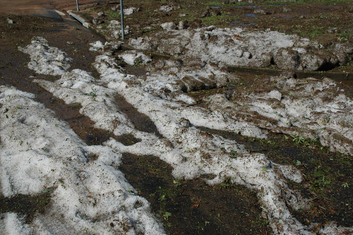
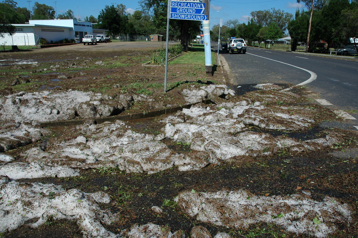
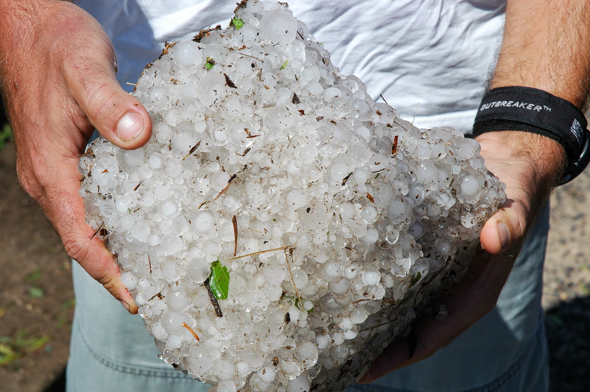
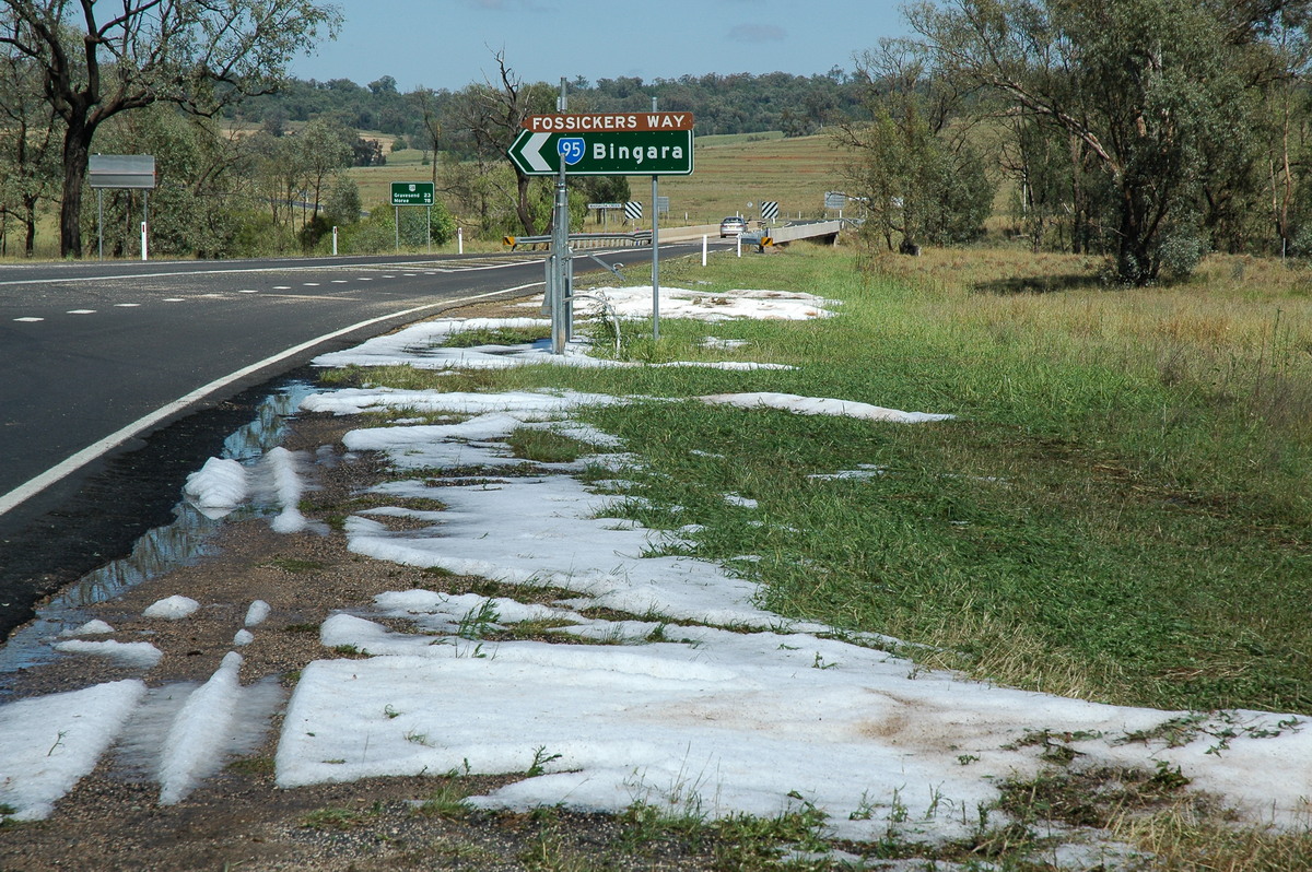
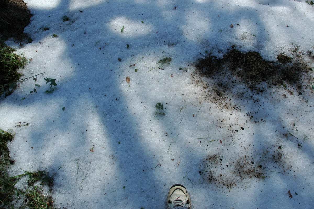
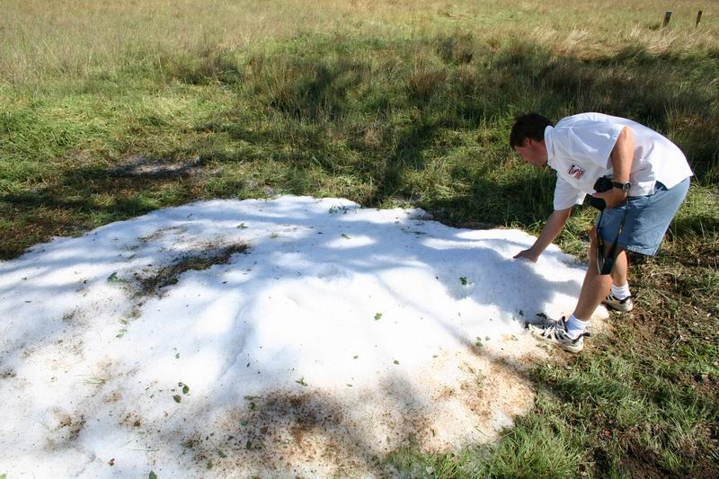
We drove towards Moree via Glen Innes and Inverell. The first excitement of the day was at Warialda. Just after we reached town it was obvious a severe storm had passed through the previous evening: branches were down and dirt driveways were scoured from very heavy rain. However the main event was the amount of hail that had fallen and was still on the ground in drifts at 10am. Piles of stones up to 3.5cm had accumulated in a few spots in the lower parts of town and at the intersection with the Fossickers Way just to the west. We couldn't resist having a play in it, throwing a few stones at the Rav 4 and then collecting an esky full ! We noted more hail for a couple of ks further west. The hail kept all the drinks cold for the rest of the two day trip.
We pressed on and soon arrived at Moree. The dew point was about 20-21 C. There was no sign of storm activity so we visited the Bureau of Meteorology office at Moree Airport. We were shown the latest severe weather forecasts for today and the 27th (which had tornadoes as possible in SE QLD), the radar from the Warialda storm, and the latest observations and sounding. The sounding showed the great potential for the region but also gave a hint that storms may be high based.
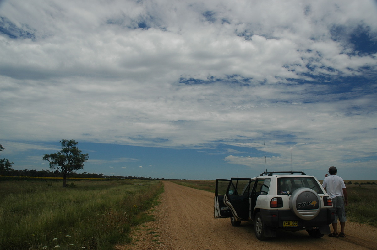
The trip continued south and then generally westward from Bellata. I spoke to the Daves who were at Wee Waa for lunch and they indicated they were heading for Walgett as this was closer to the surface trough. Rodney was keen for some off road driving so we continued on the dirt - this also gave us the option of heading north to Collarenebri or west to Walgett. Still no storms but something had gone up back east over Mount Kaputar (elevation 1500m).
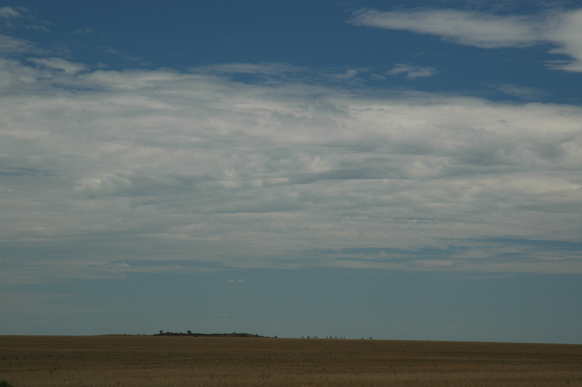
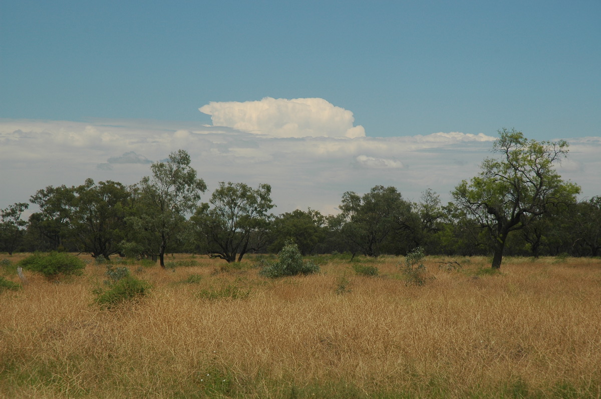
It was quite hot and humid as we neared Rowena. Activity was starting to get going, but mainly near the Queensland border. Moisture starved activity was also evident west of Walgett.
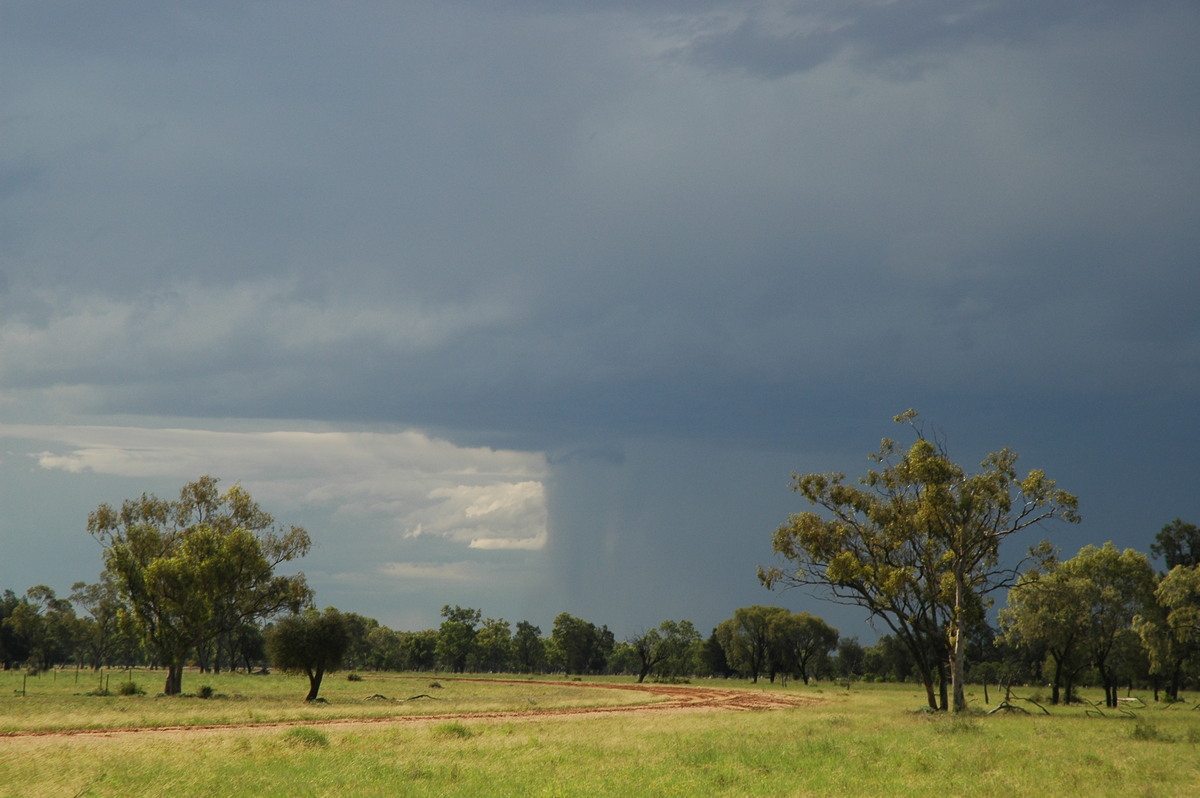
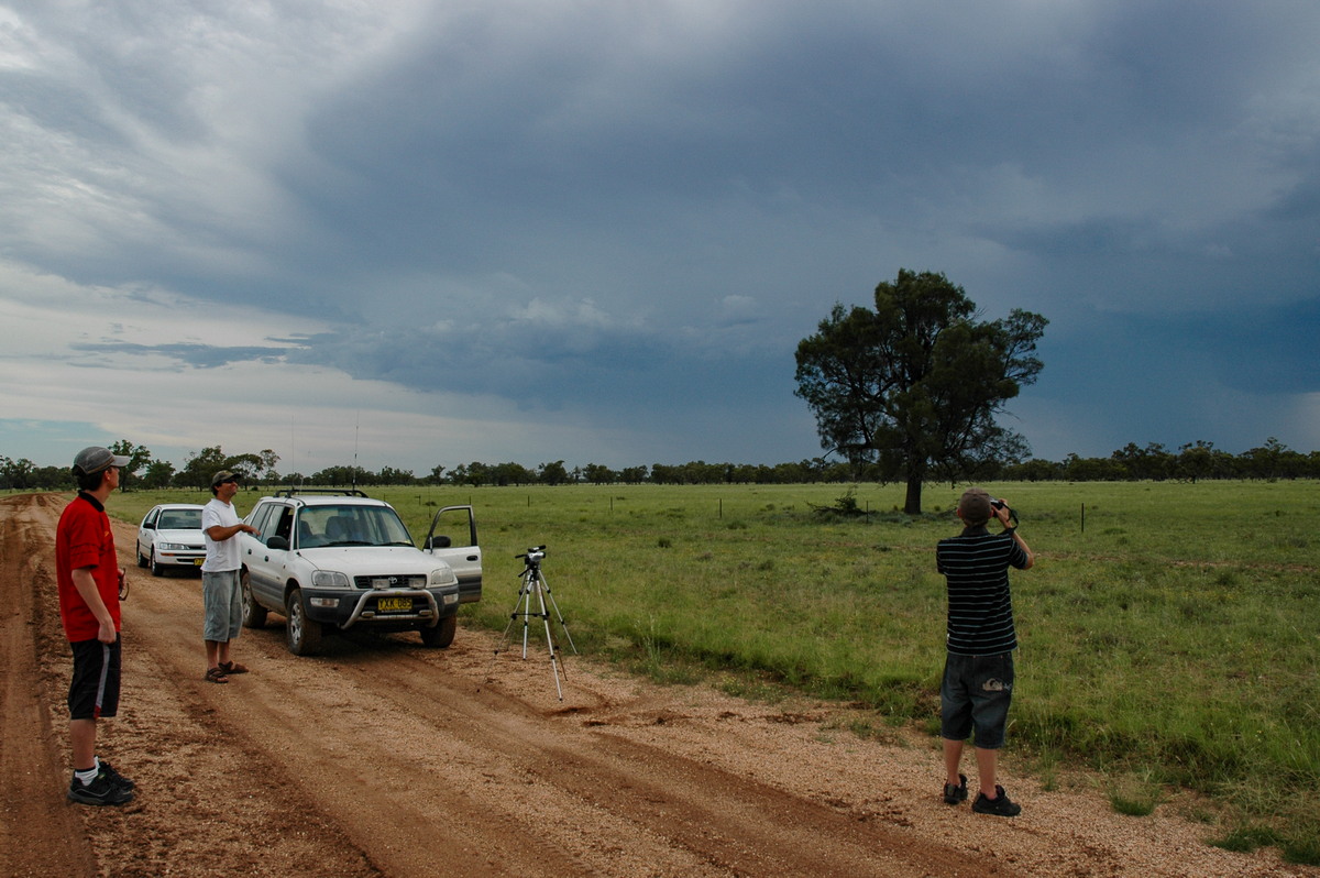
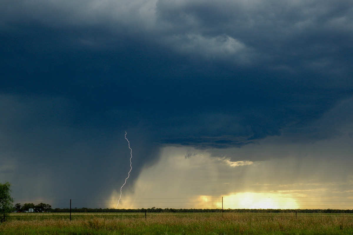
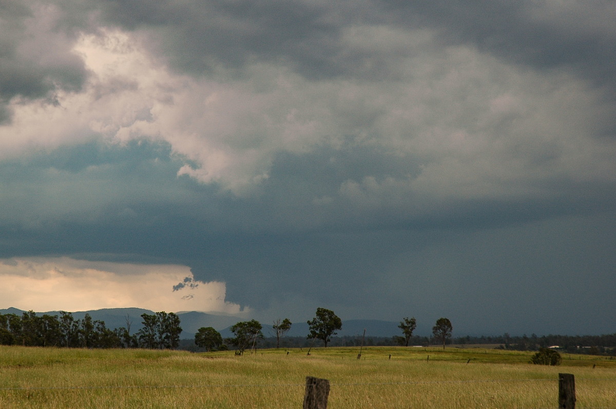
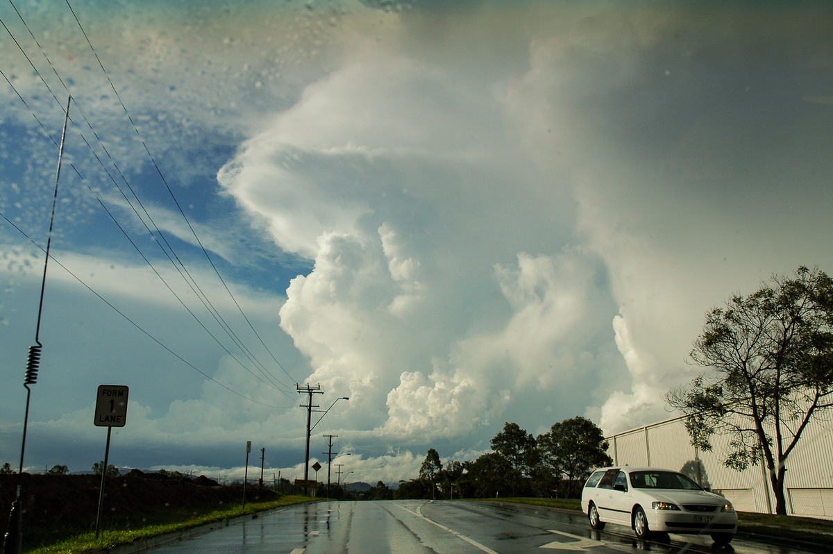
A thunderstorm started to get its act together SW of Collarenebri, so this became our target.
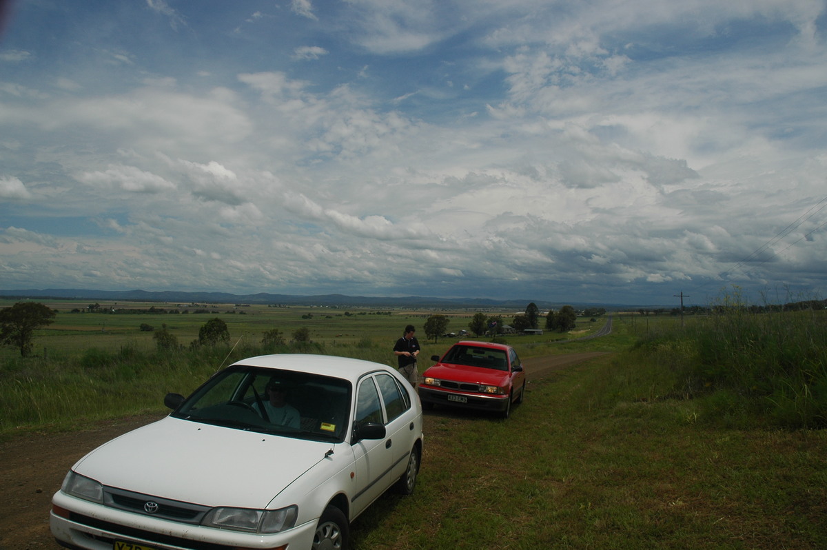
We found some areas fairly clear of trees just north of town but it was extremely hot so had to move a little further along a rather dodgy road to find a tree to park under.
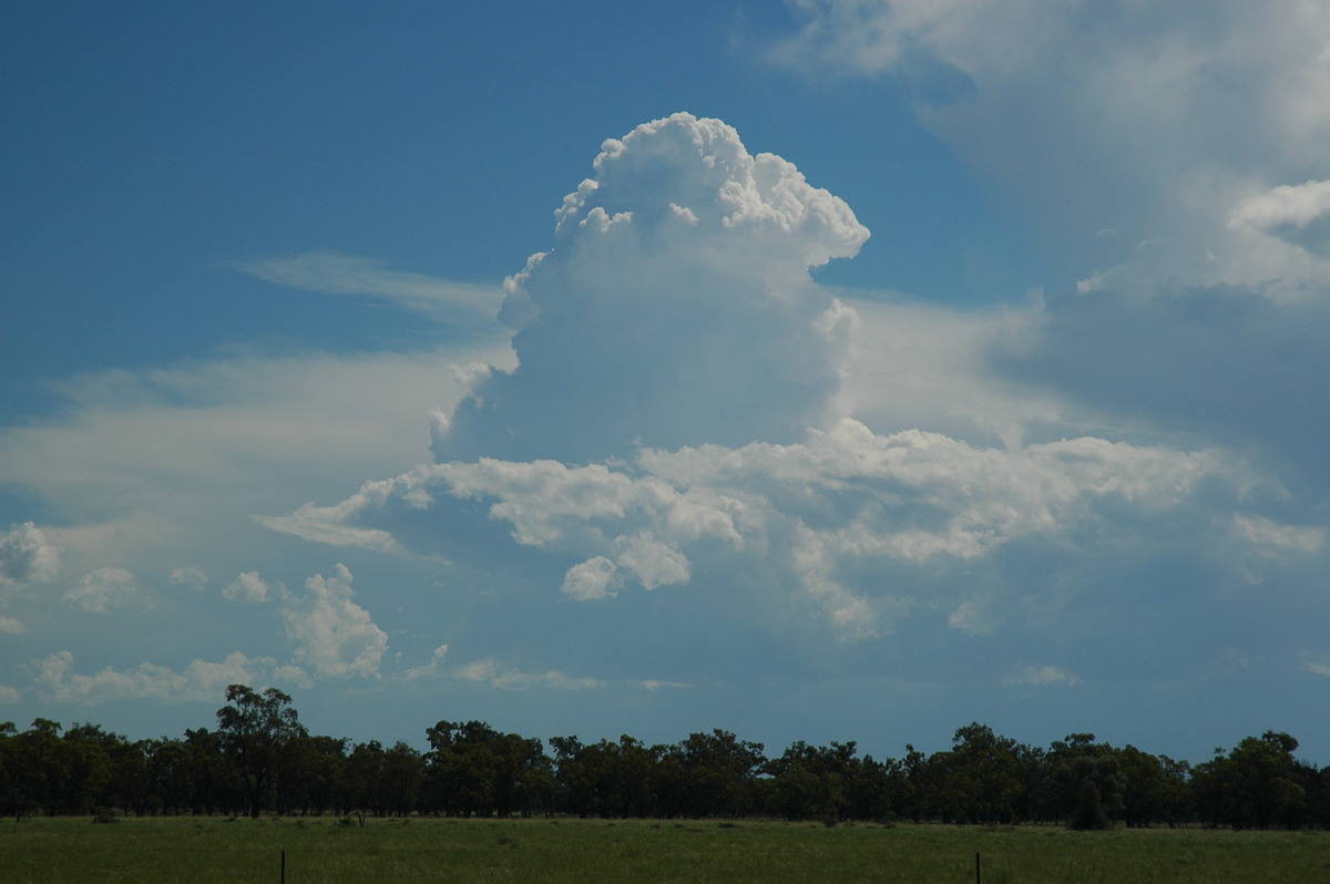
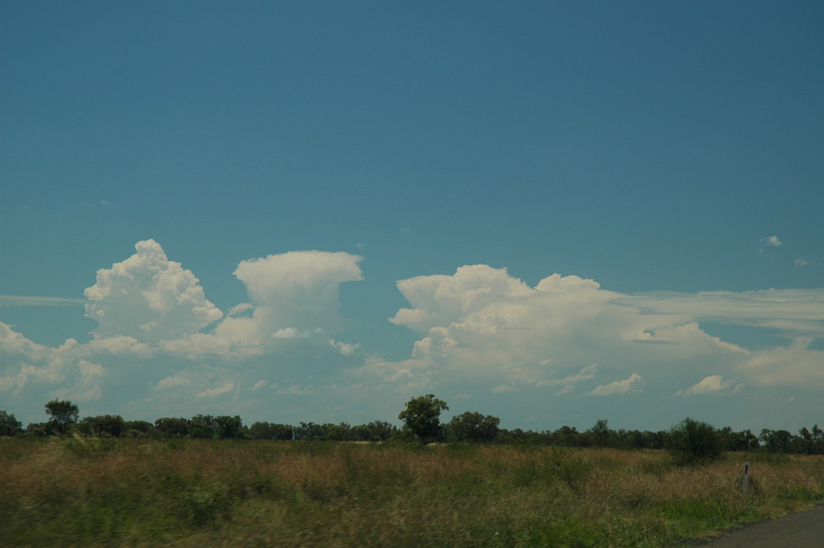
More storms developed to the west and northwest but most looked fairly weak during the next two hours. The original cell we initially targeted looked quite strong and more organised as it passed to the north and northeast in the direction of Goondiwindi. An encouraging sign was the amount of pulsing CG lightning that occurred.
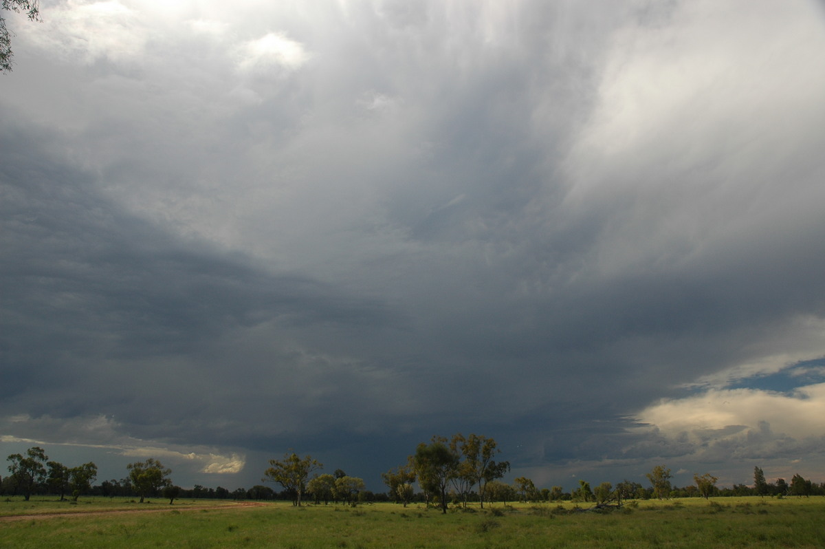
During this time we could also see strong storms in the Northern Rivers way off to the east - in fact it was over 350km away!
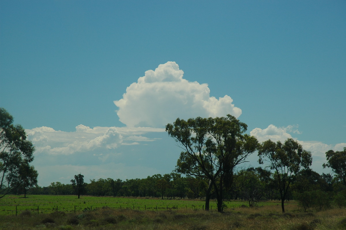
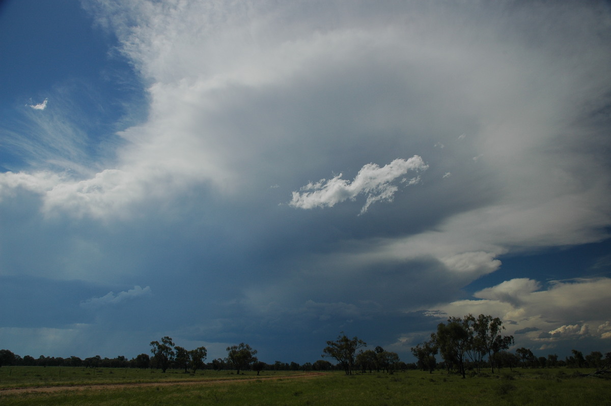
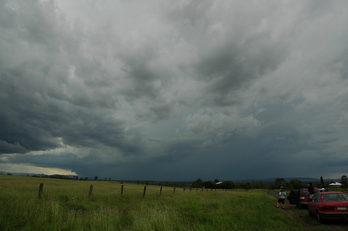
The Daves met up with us about 5.30pm. This coincided with a line of development to our west which at first just appeared to be some thundery showers, however, lightning was very active.
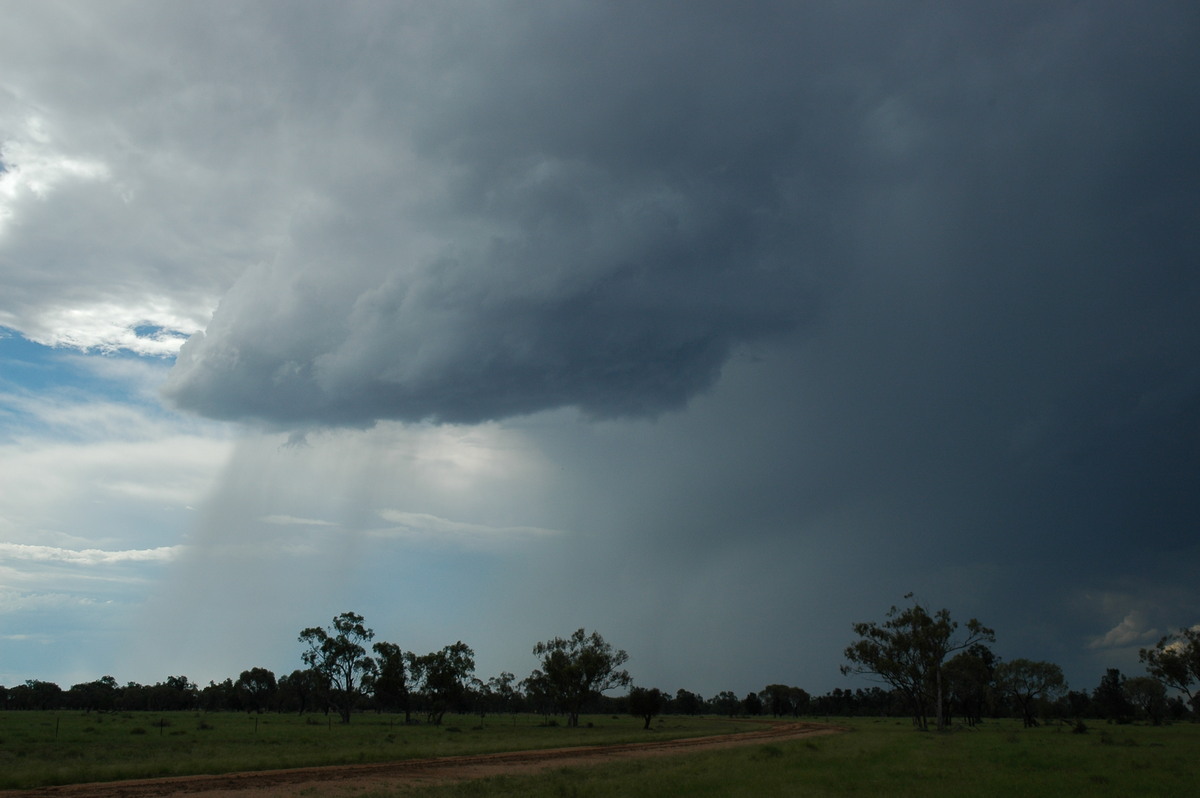
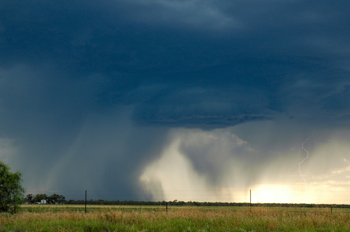
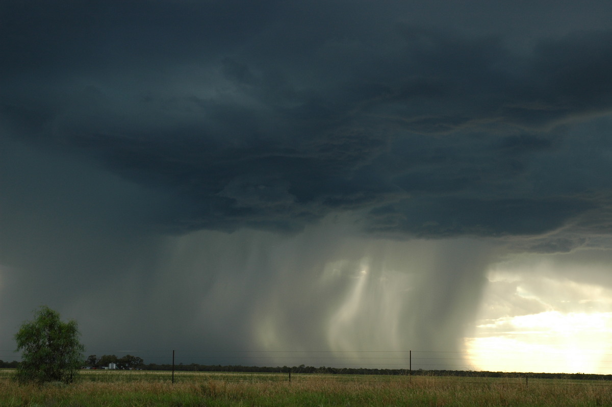
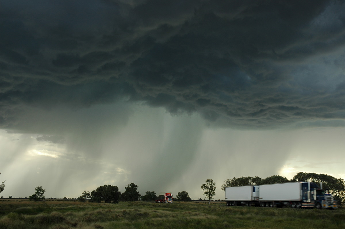
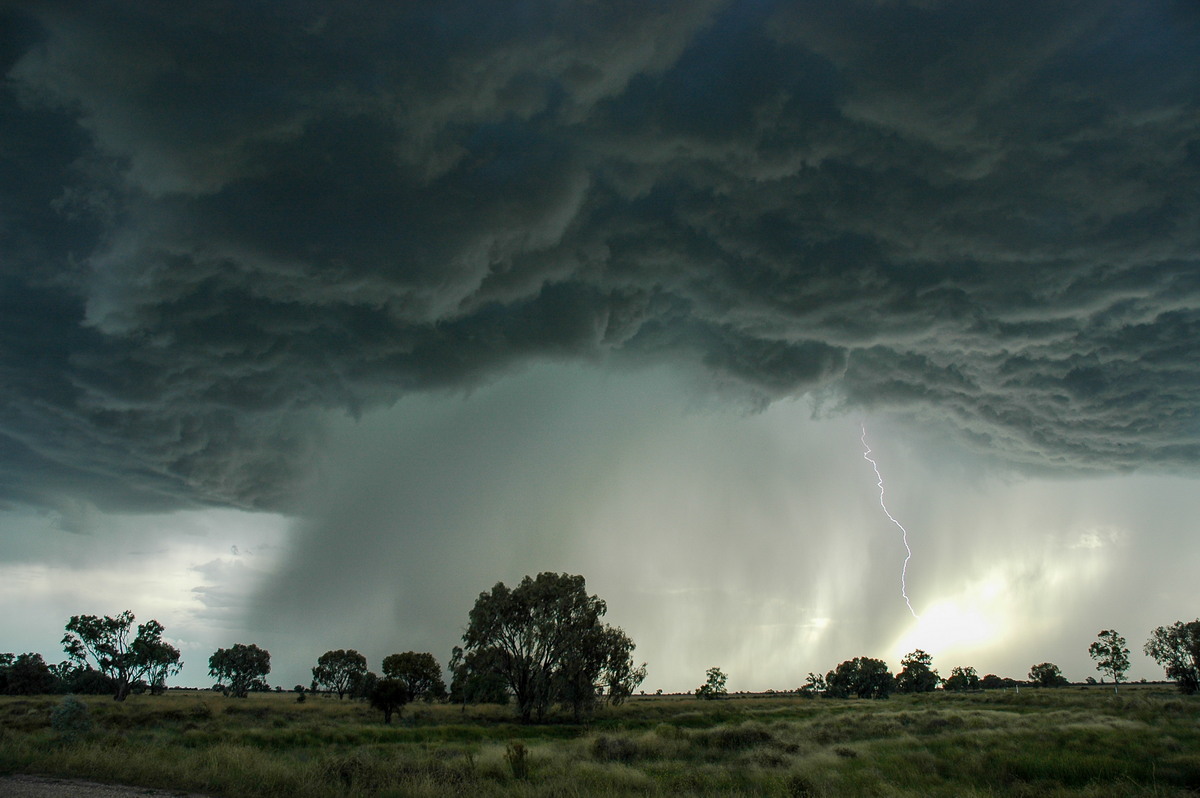
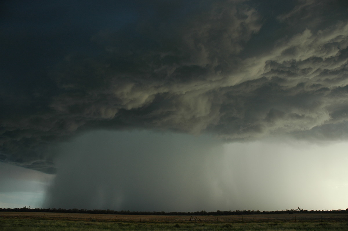
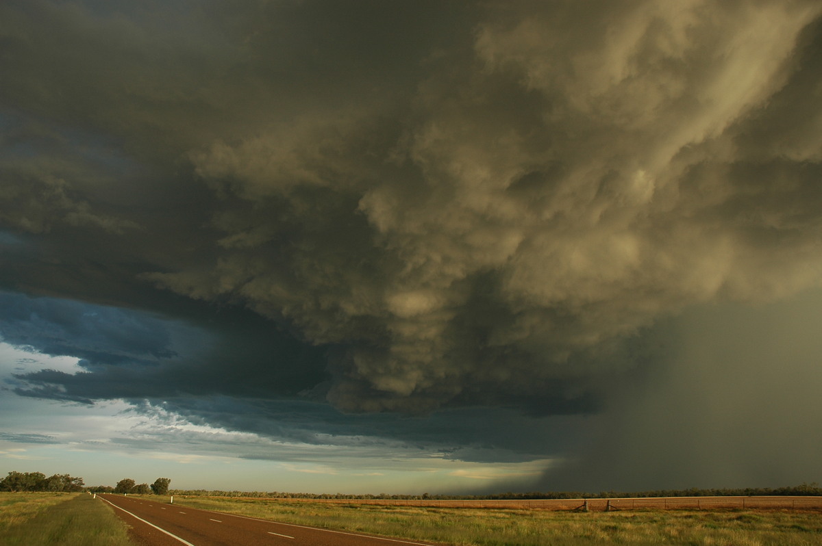
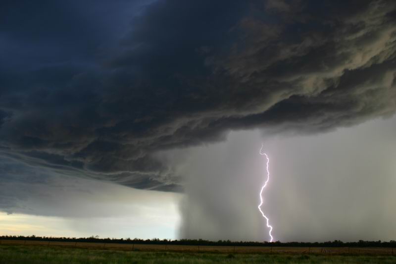
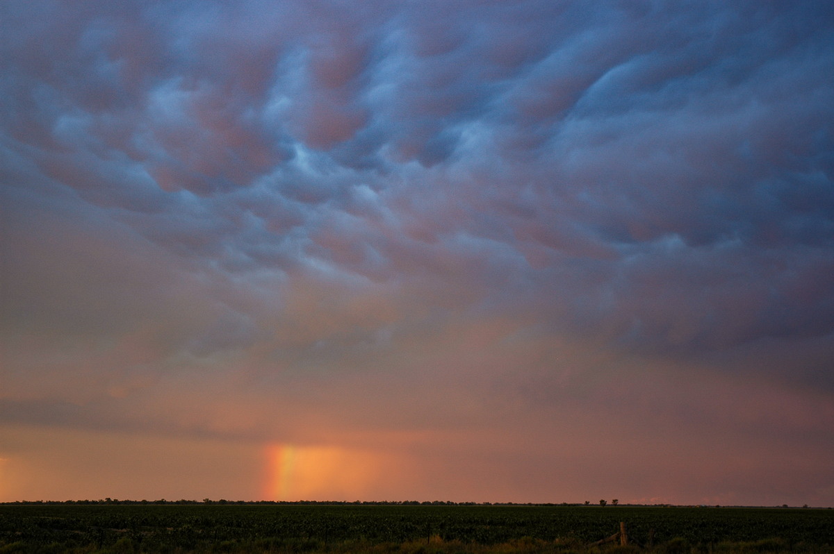
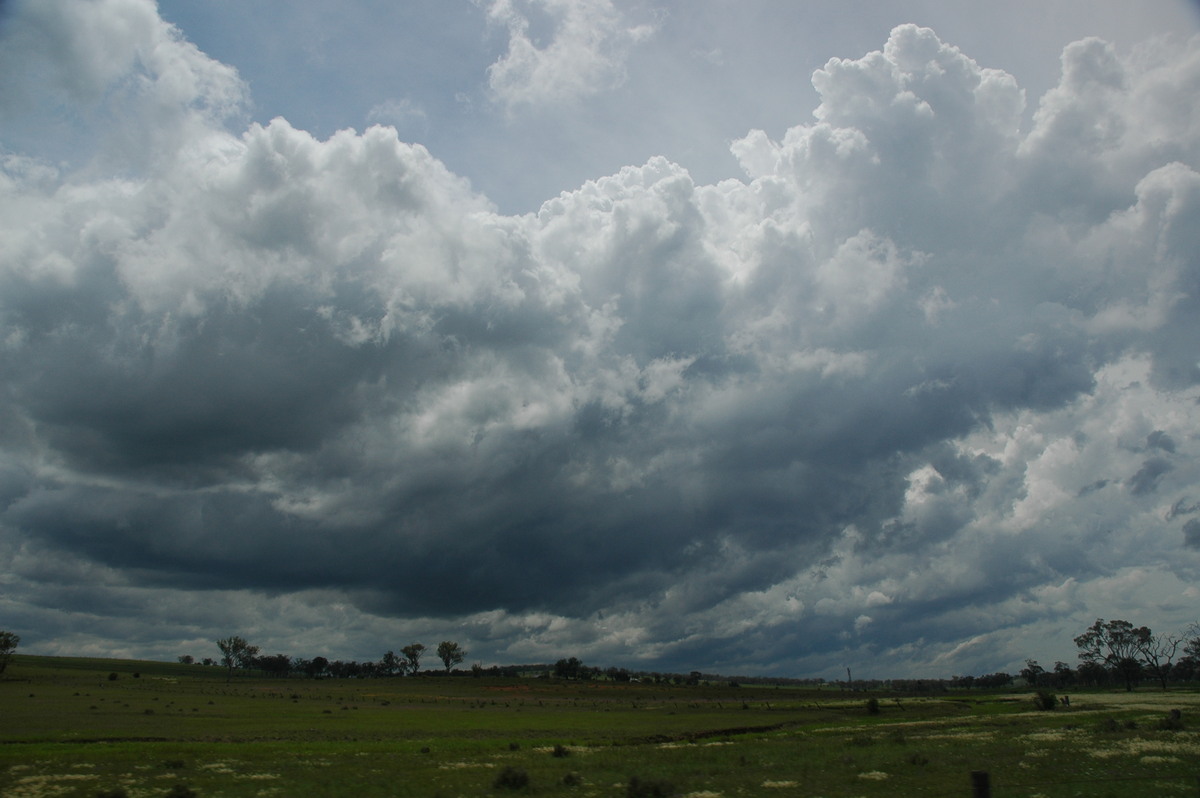
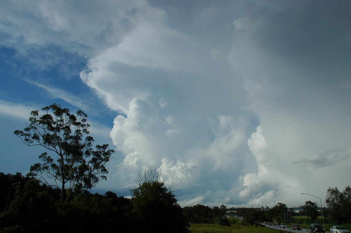
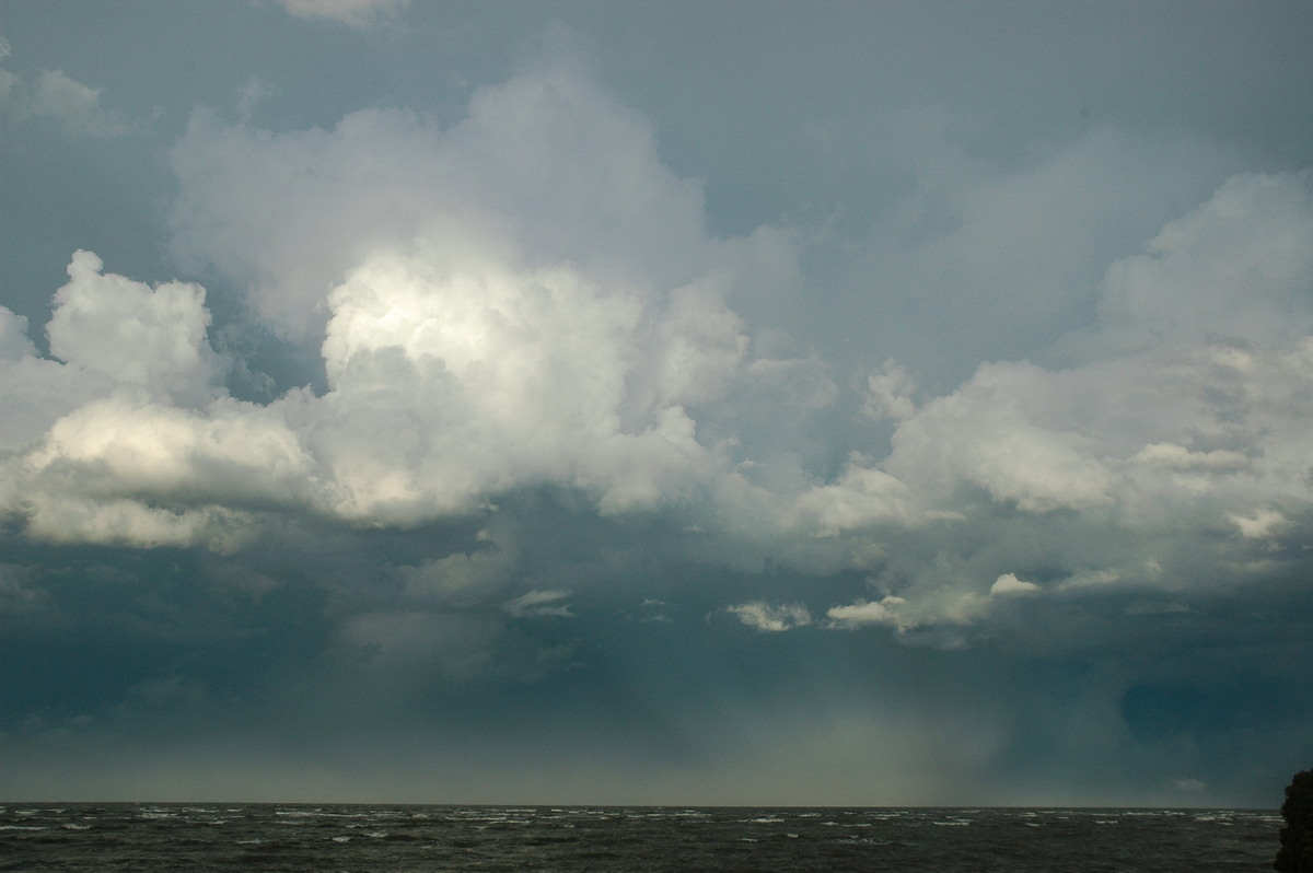
We moved a few ks further south to a better view just on the outskirts of Collarenebri. This slowly moving line became quite spectacular very quickly. High contrast rain free bases with intense precipitation at the back and constant pulsing CGs - in fact, I can't remember such and active lightning display during the day.
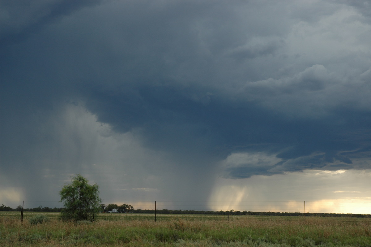
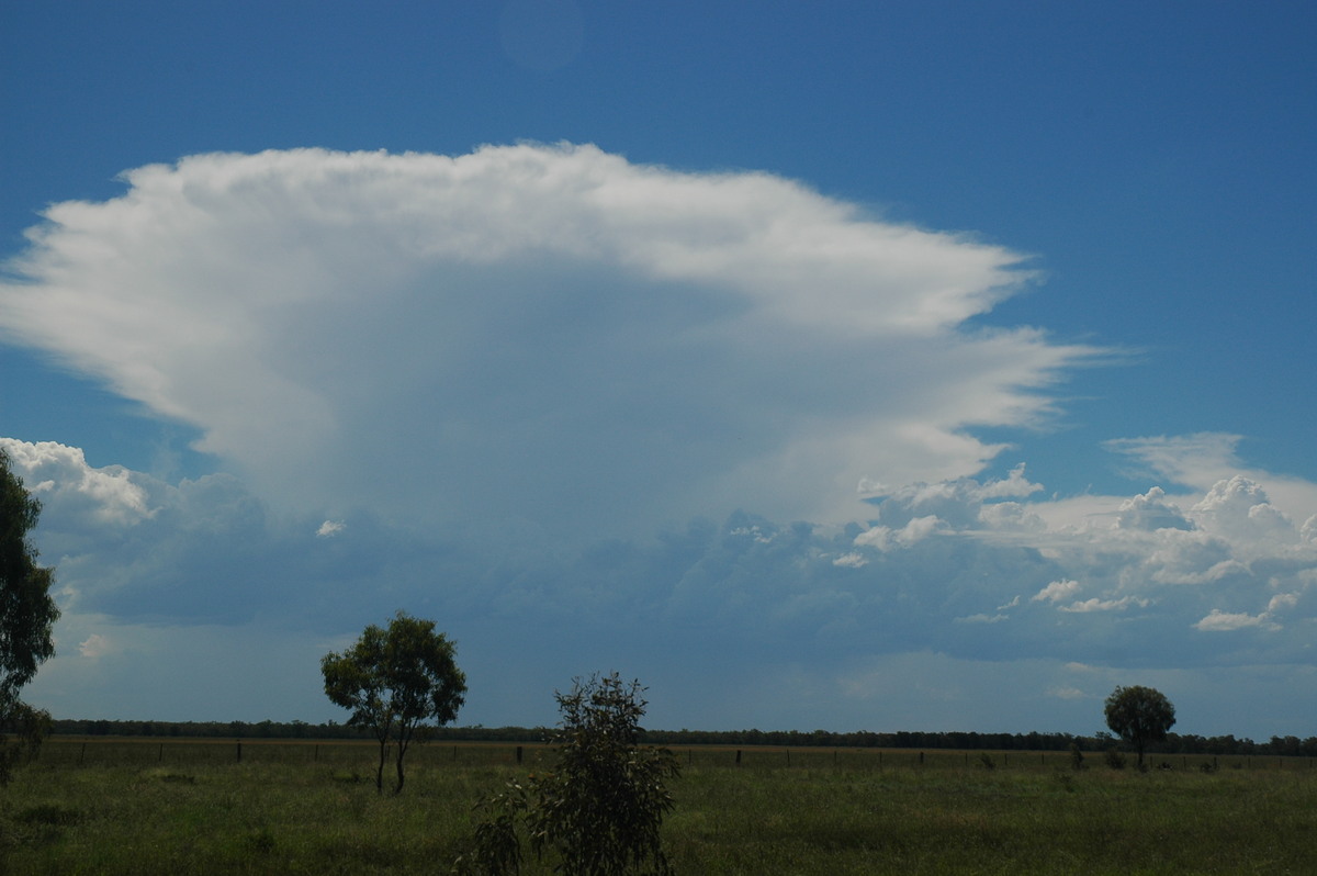
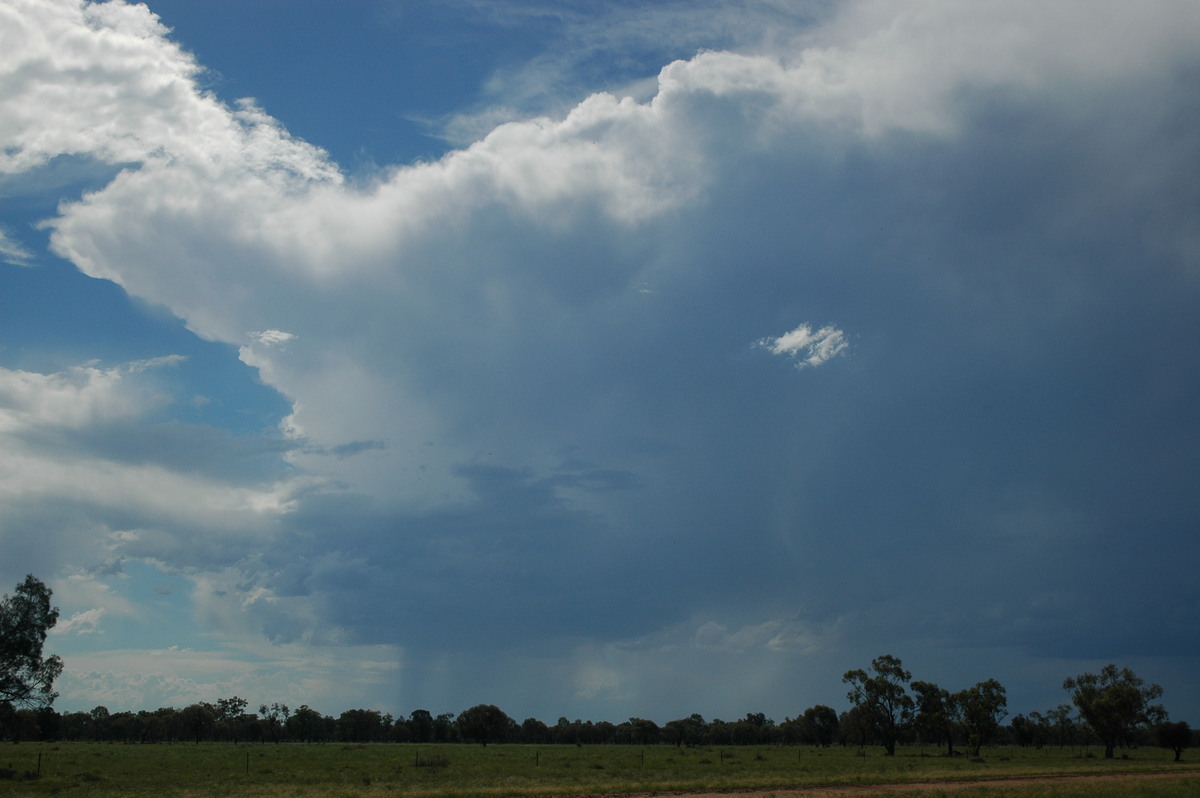
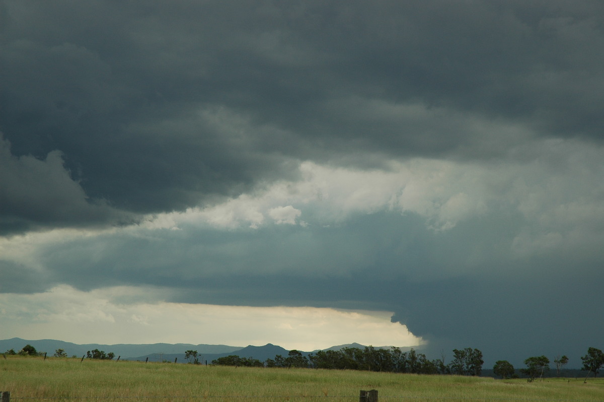
The southern cell on the line soon started to dominate. Intense shafts of rain with microbursts were observed and hail was very likely as well. But the CGs were just incredible ! All four of us got multiple daytime CG photos.
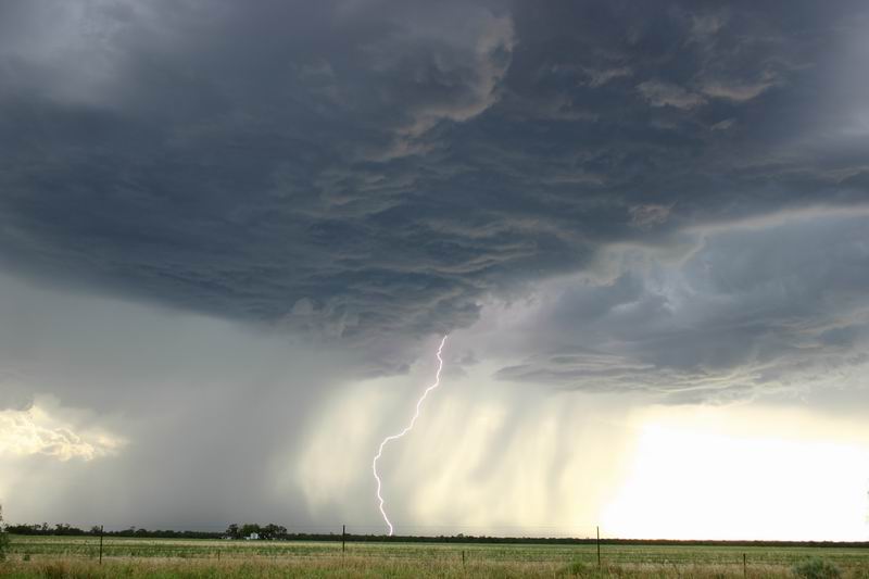
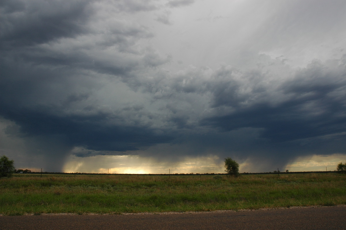
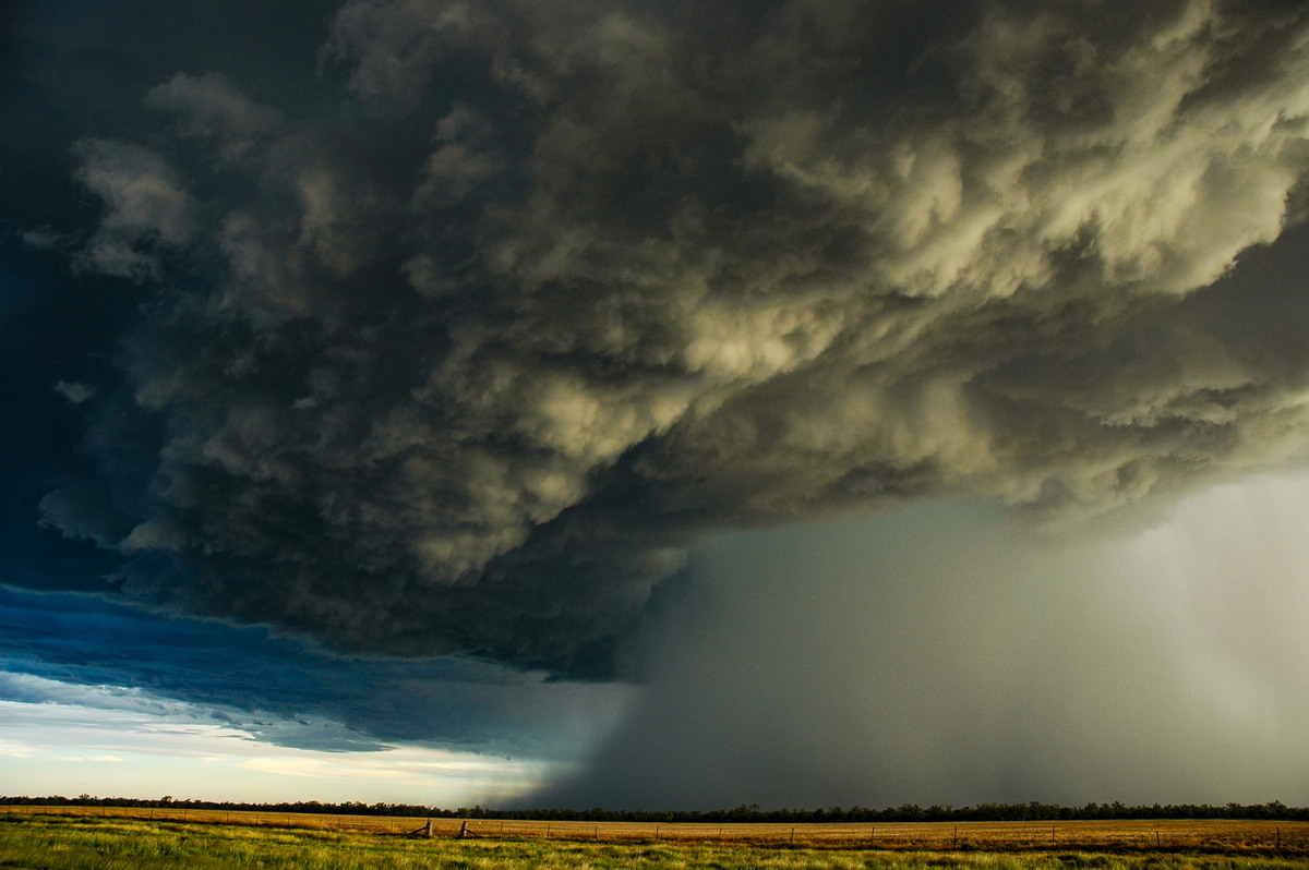
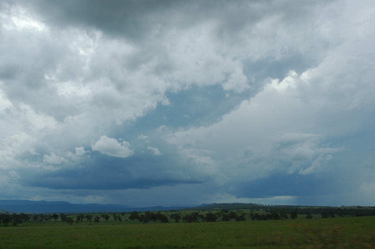
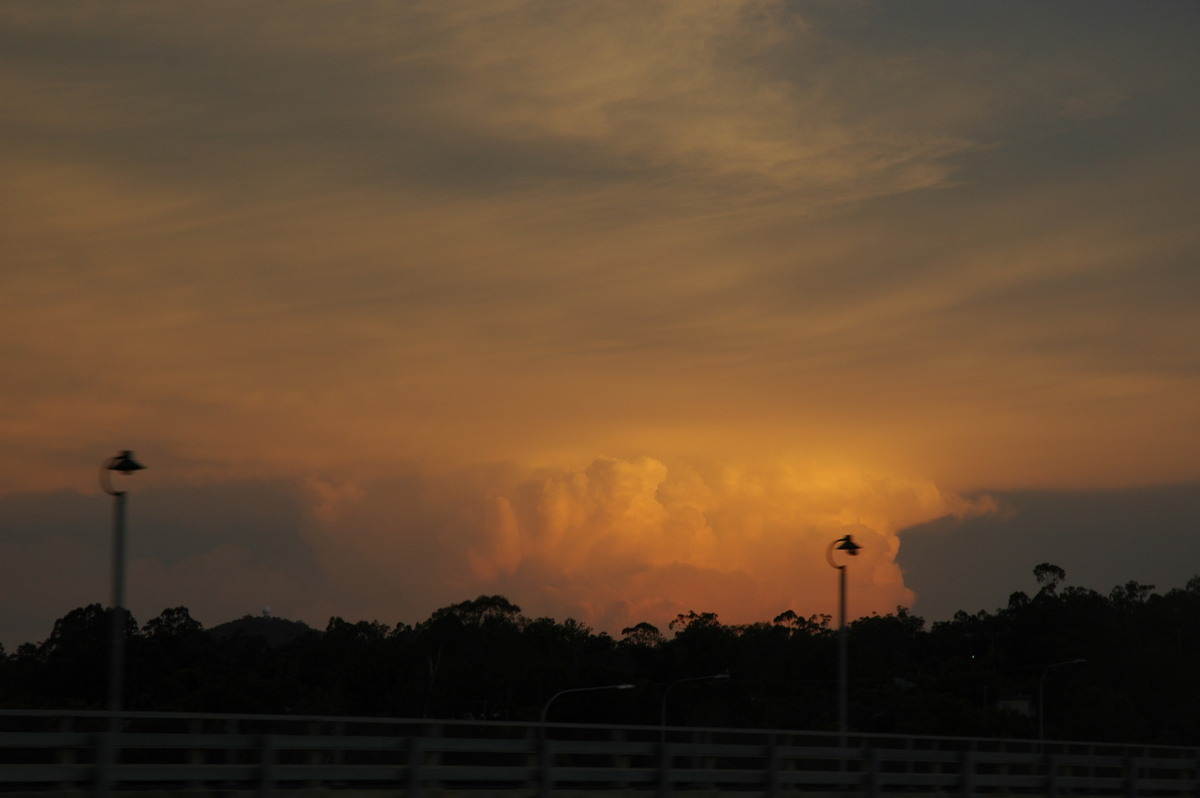
It was time to move to keep ahead of the show. We quickly moved through town and then headed back east several kilometres. The storm was keeping up with us but we just had to stop and photograph the scene: continuous powerful pulsing bolts of lightning, rippled rain free base overhead and microbursts just to the S and SE. And the colours were becoming perfect with the sun low in the sky !
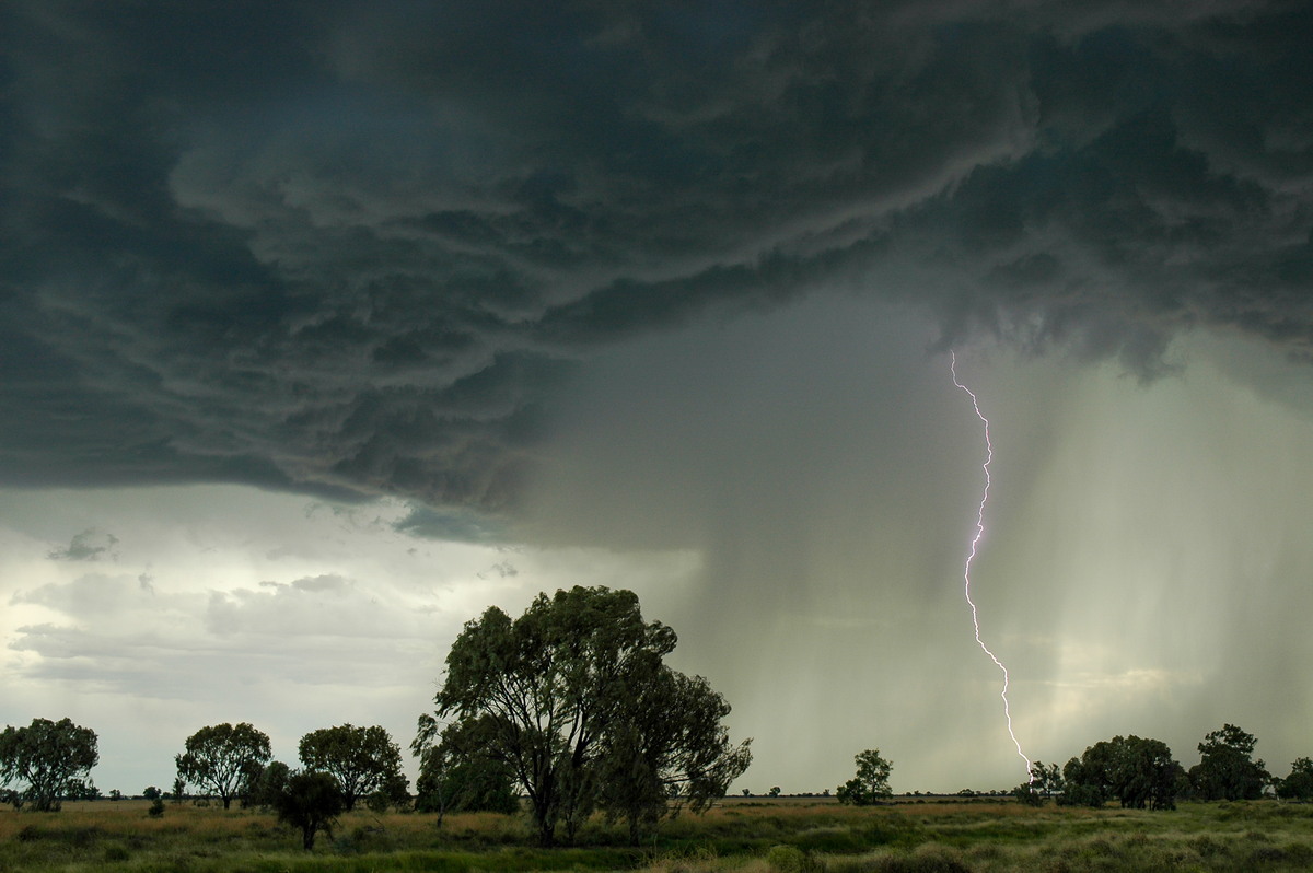
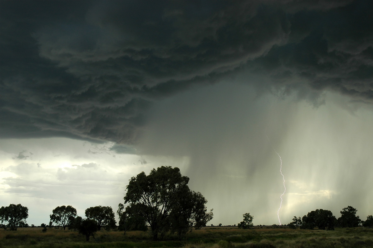
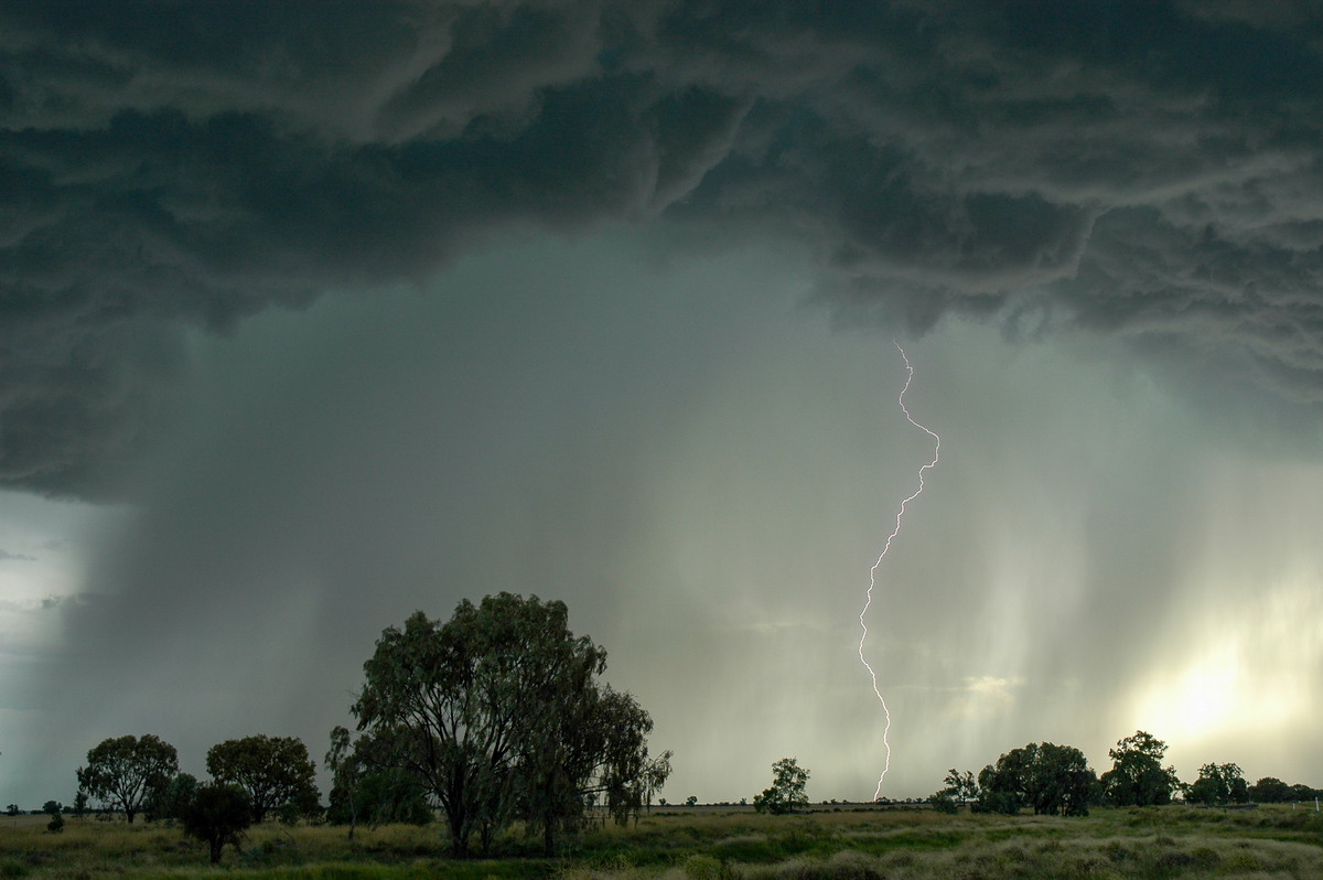
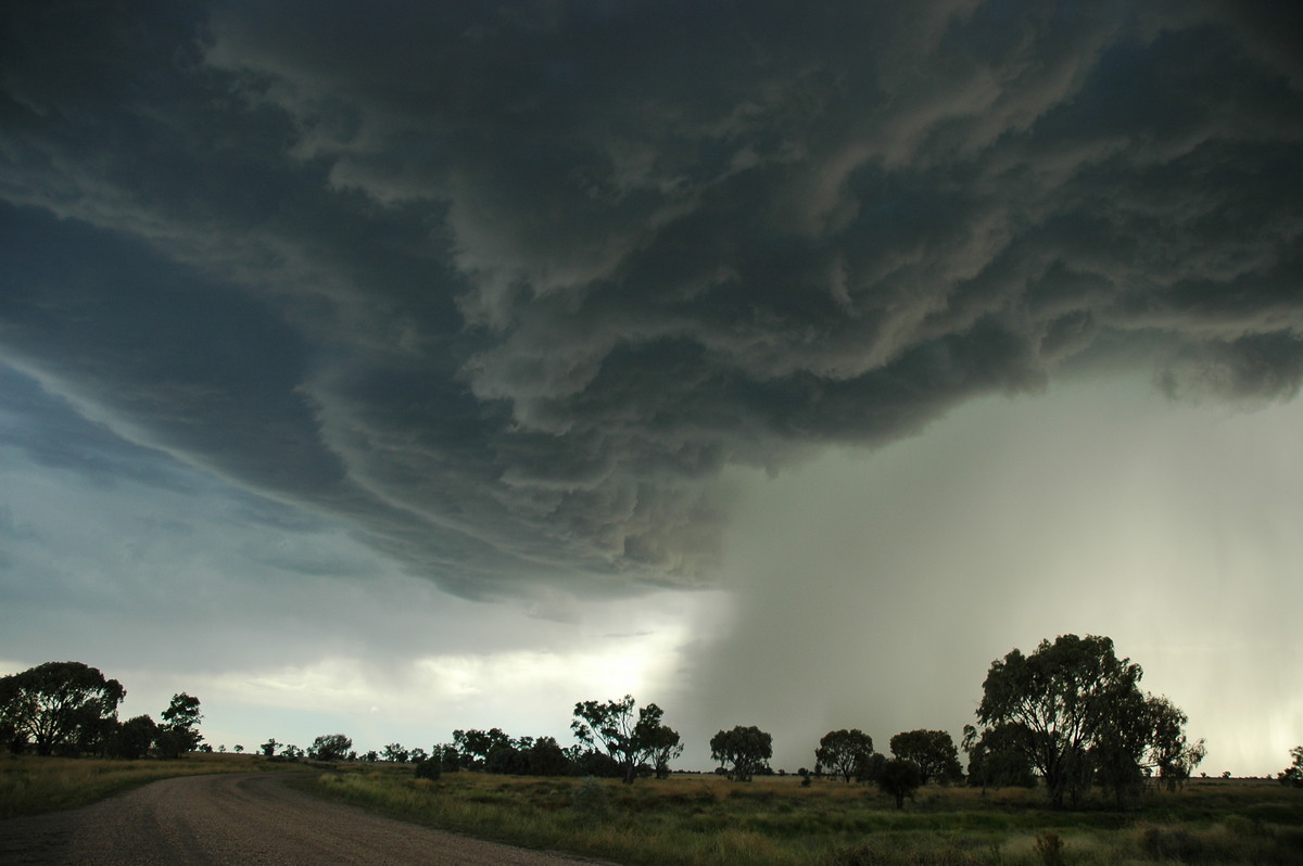
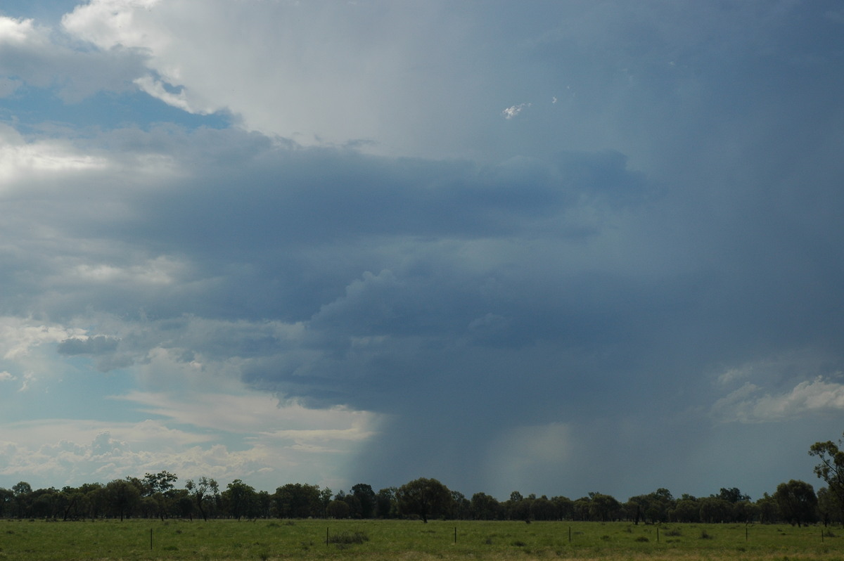
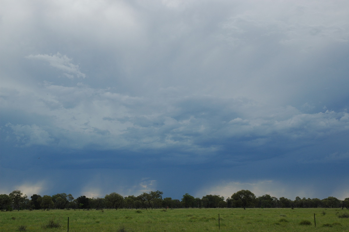
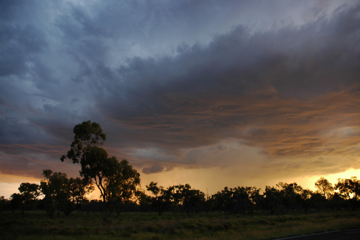
We again shot east - this time about 10ks. The core of the storm was paralleling the highway just to the south while the updrafts continued almost overhead. The colour and the scene at this point was breathtaking.
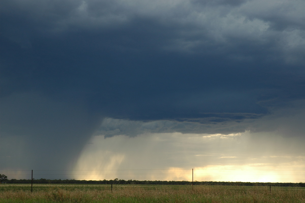
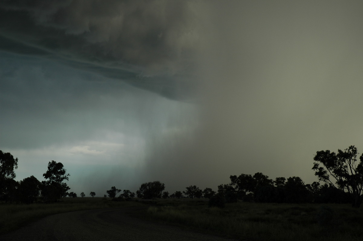
The storm begun to weaken from about 7.15pm but we kept east in a great position to watch the cell fade.
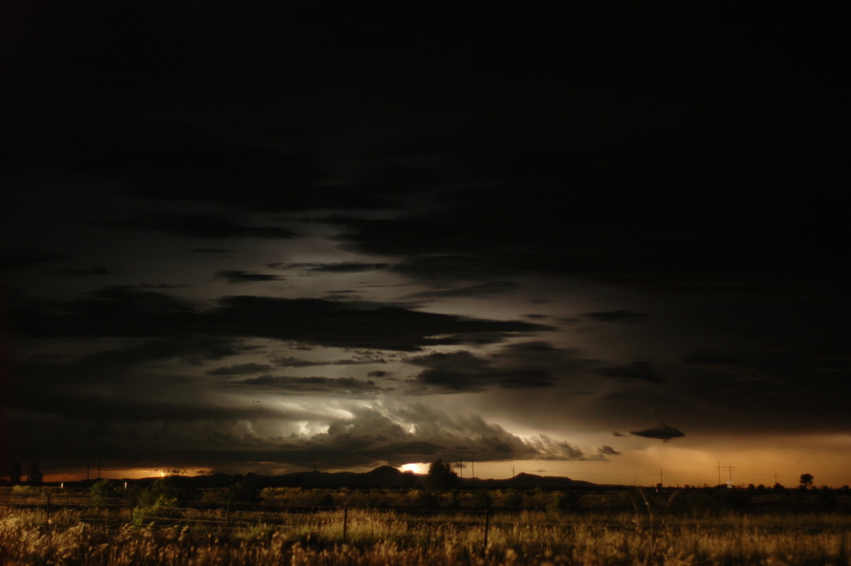
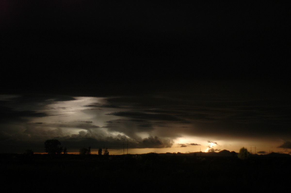
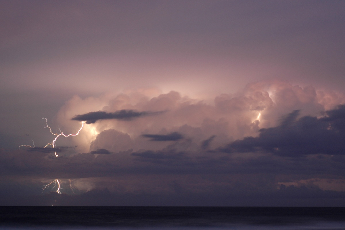
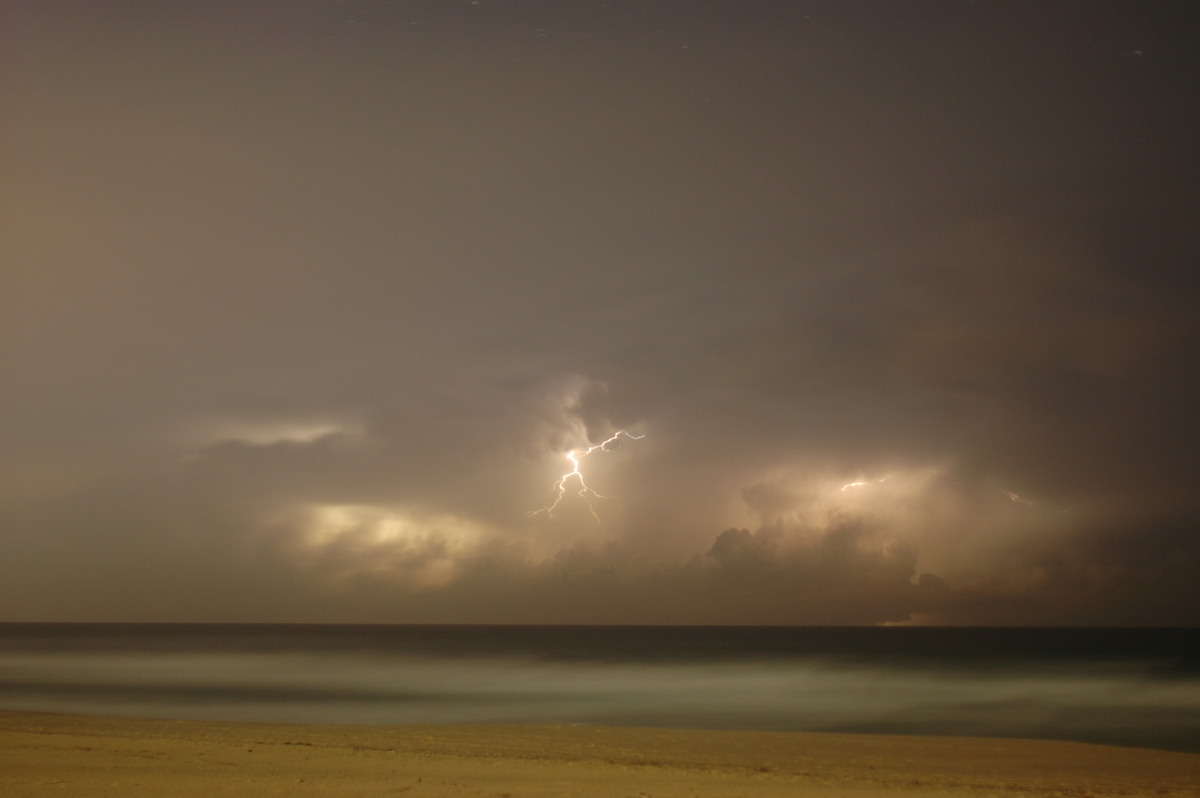
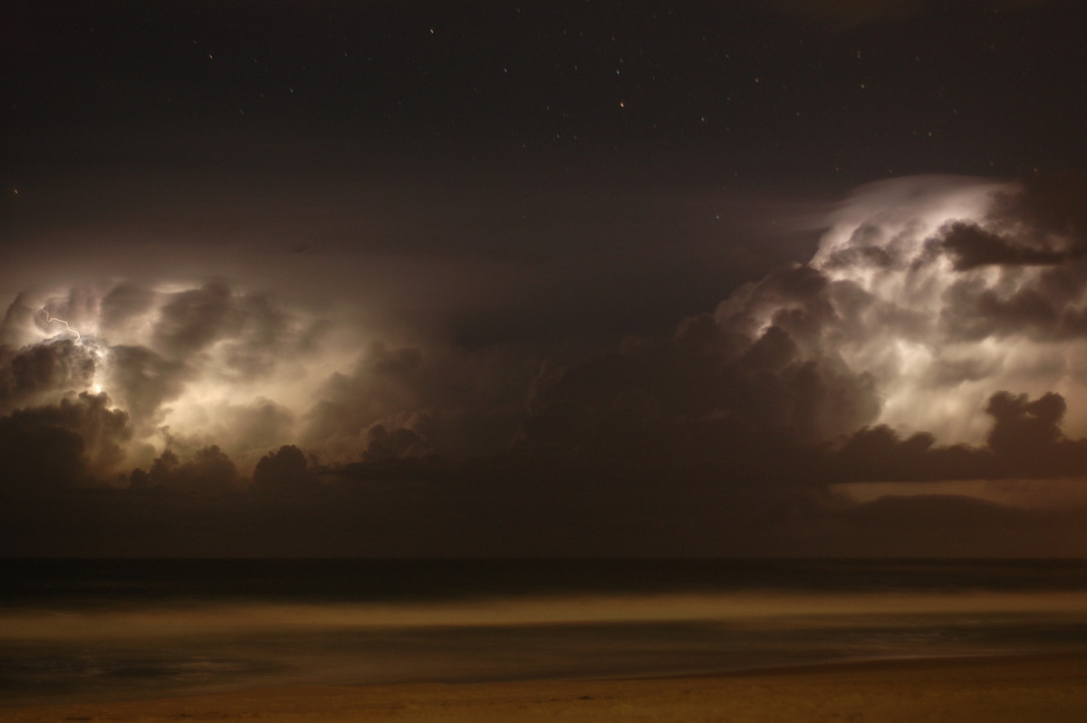
We then drove the 100ks back to Moree to find a place to stay and hopefully get more activity later on. Shortly after 10pm we drove to a spot a little south of Moree to watch the lightning show. It was all a bit distant but in just about all directions.
27th November
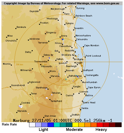
This day had the potential for tornadoes in SE Queensland. Strong shear with great low level turning was forecast and occurred. Storms were expected to develop early and move quite quickly. The initial target before we left on the trip for this day was the Darling Downs, but the trough was moving more quickly and activity would clear the coast by afternoon. The target was now Warwick then the Greater Brisbane region.
We left Moree and met up with Anthony Cornelius at Goondiwindi. He had been chasing the border storms the previous afternoon and evening. Prior to reaching Goondiwindi a very impressive display of altocumulus castellanus dominated the sky.
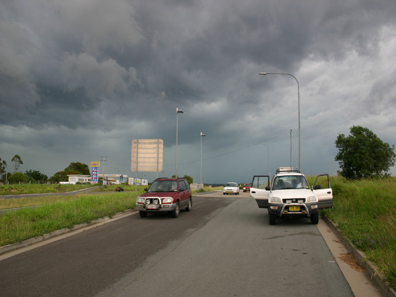
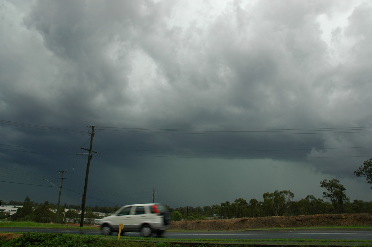
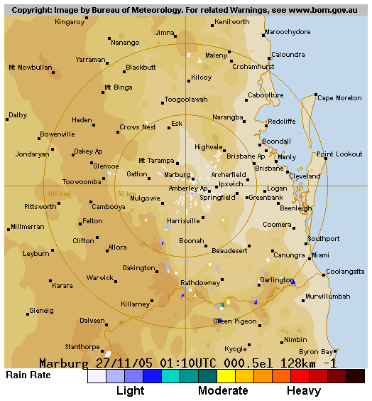
We continued eastward and along the way spotted Jeff Higgins and Michael Manning watching the sky near Inglewood. At Warwick Brian Juni joined the chase. We all stopped at a vantage point just out of town but knew we had to keep heading east as soon as possible. Storms were gathering strength from 1pm onwards. The chase continued down the Cunningham Highway then north to the farming areas west of Ipswich.
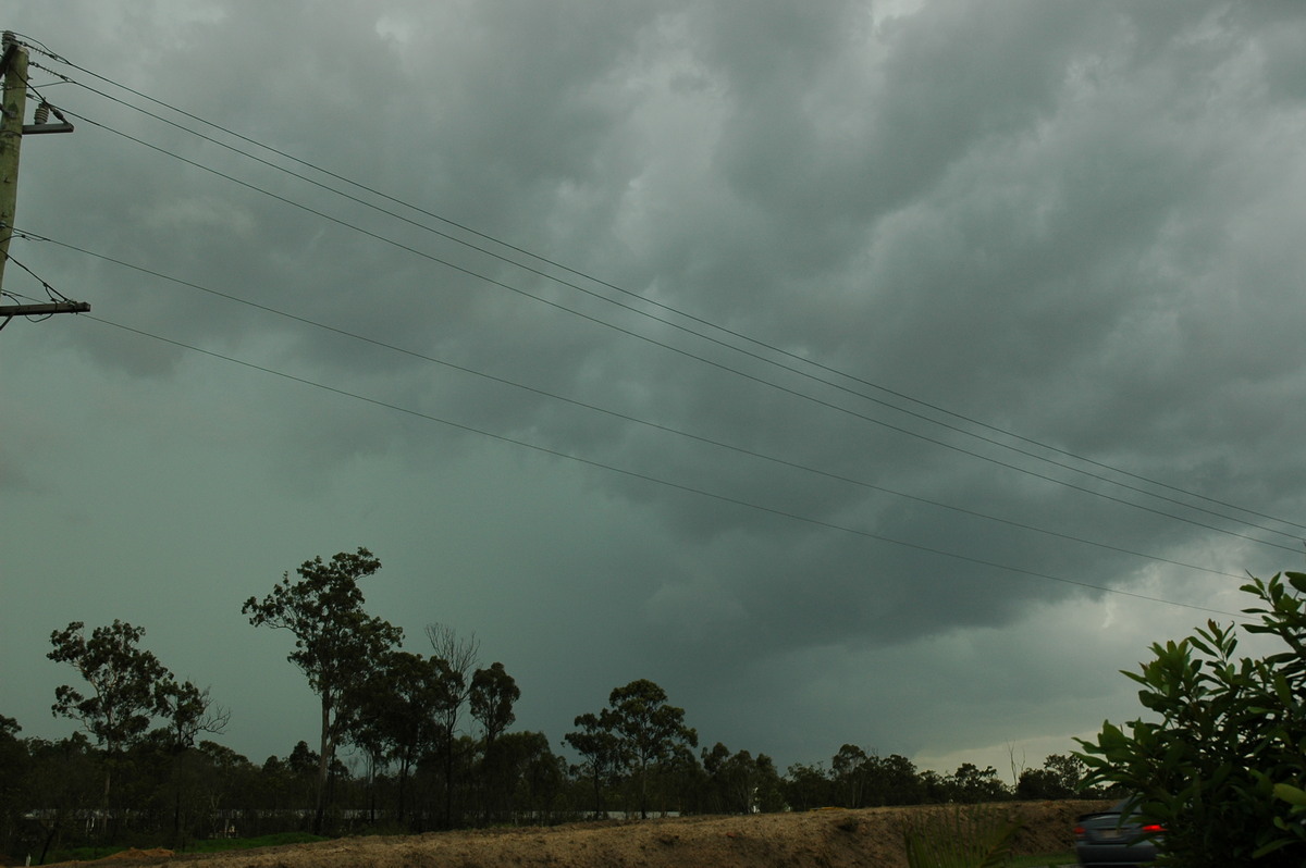
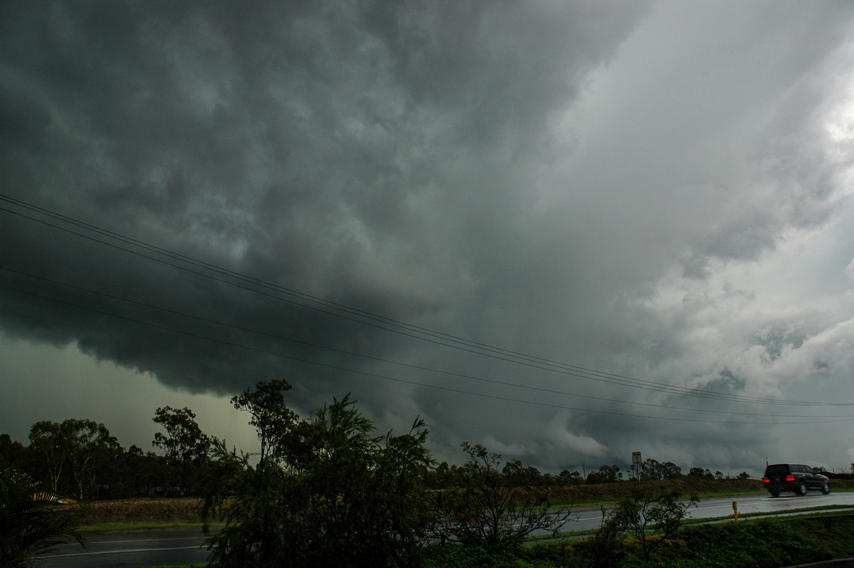
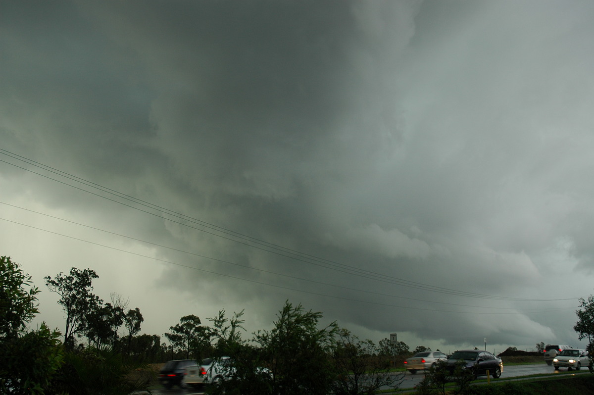
Storms were very quickly becoming organised into severe cells. We stopped briefly as a very suss base lowering developed on a storm several ks to our west, while another formed to the southwest.
The plan was to keep ahead of the activity and ride it out when the storms crossed the coastal suburbs of Brisbane. Rodney was quite concerned about the large hail risks, so he and I left the group to find a sheltered spot.
The industrial estates at Wacol proved ideal: a huge awning at a factory and very good western views - bring on the hail now !
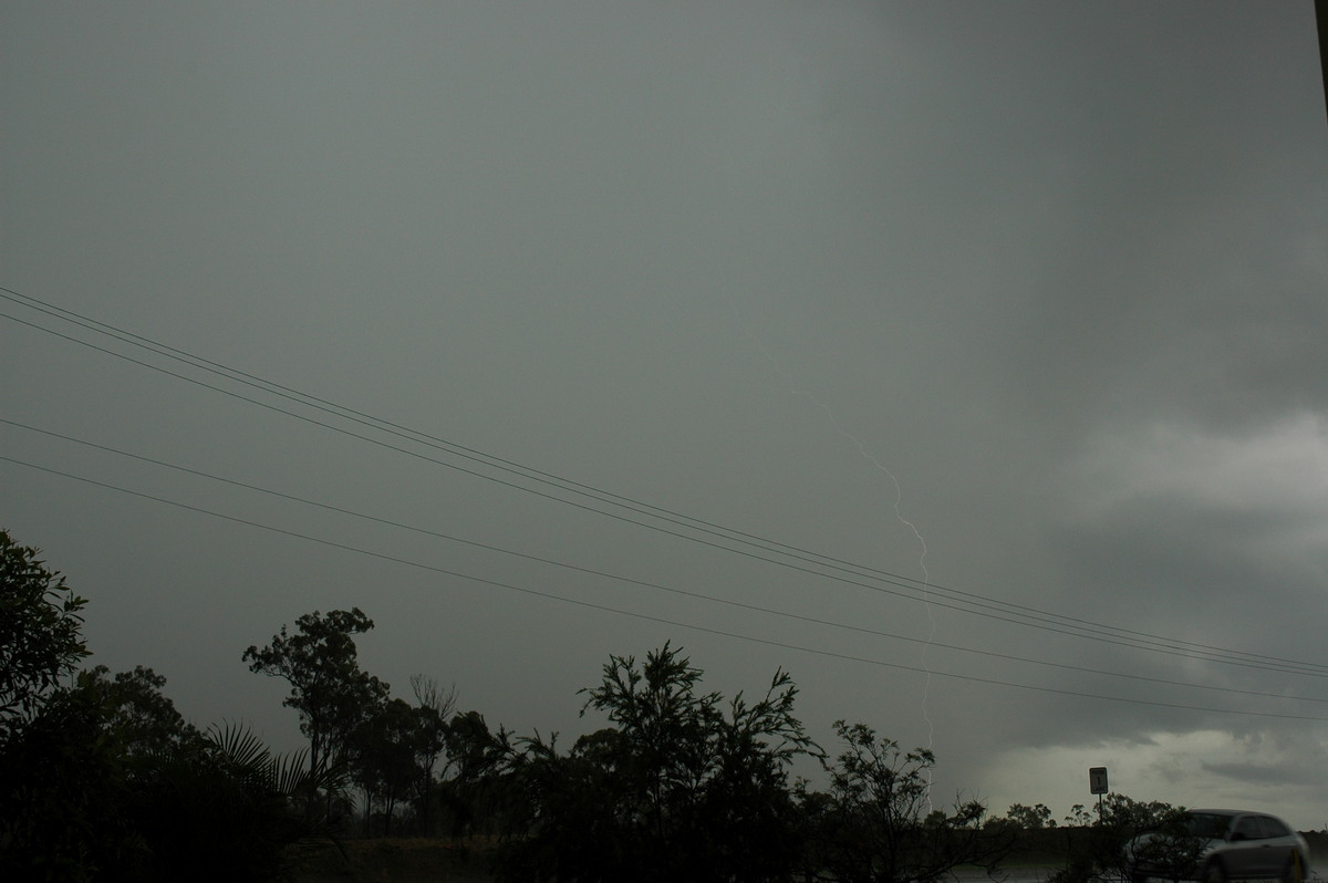
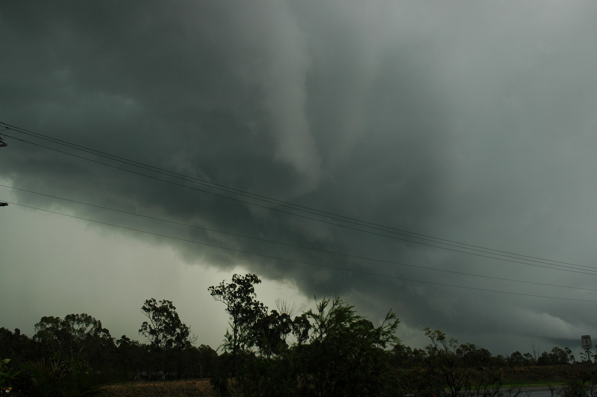
The first storm approached with regular CGs hitting ahead of the precipitation. It struck our location with intense rain, some strong winds and small hail towards the end. Radar signatures indicated a supercell storm.
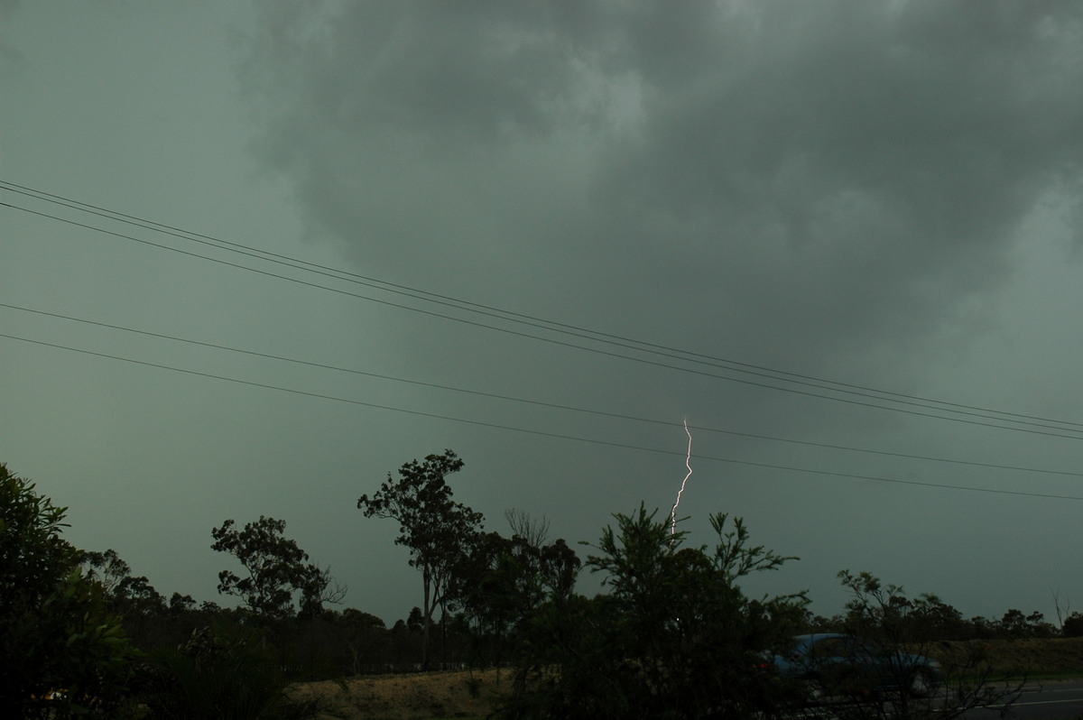
Another cell shot up west of this first one and again gave us a great show of lightning and heavy rain, though it was fairly featureless to look at.
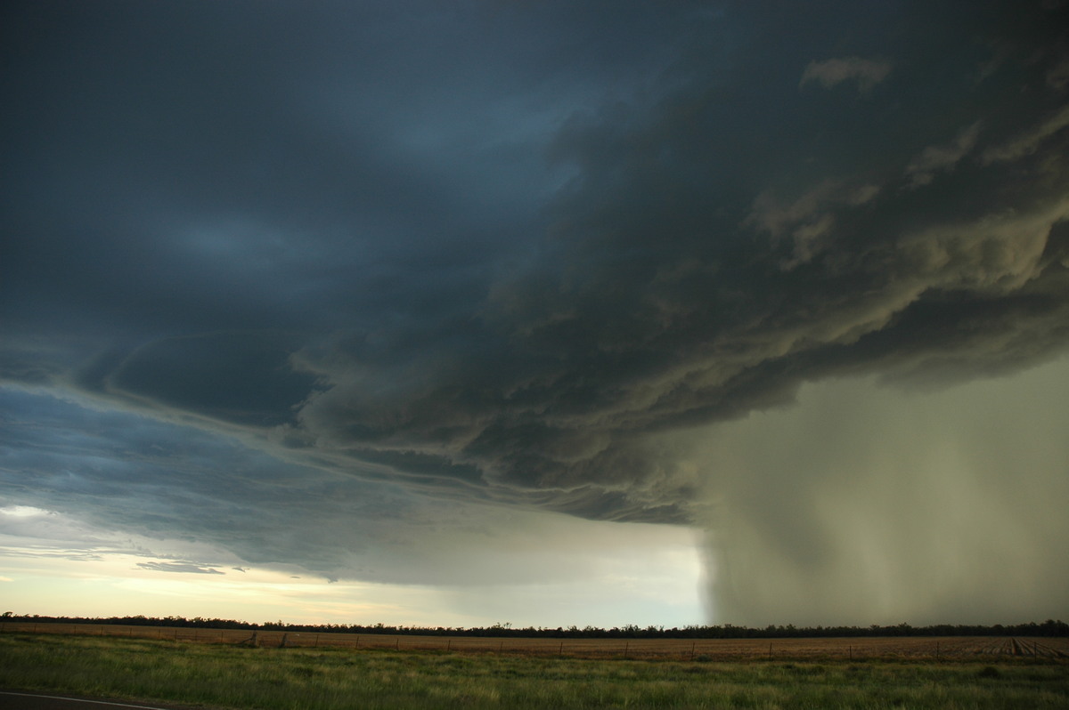
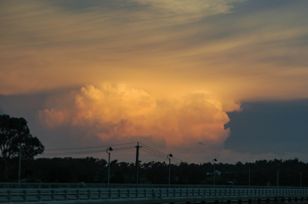
However the third storm which had actually formed west of Warwick was now approaching. It was supercellular in structure and via radar echos. This storm looked the most interesting of the three as it approached us. There was a shelf cloud formation, continuous CGs and wicked green tinge. No hail fell at out location but the rain rate was full on, and the winds were very strong. Some flangs hit, a couple of which gave a shockwave.
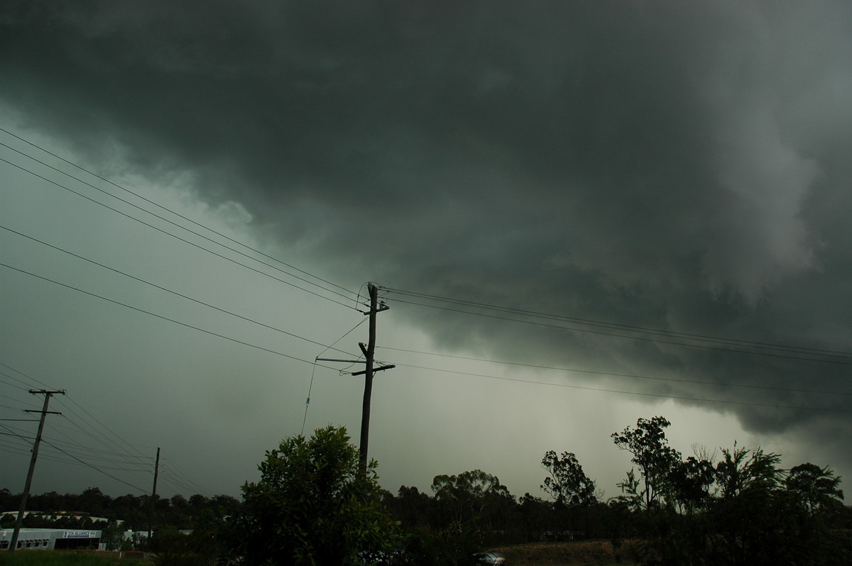
After the rain cleared we decided to head towards the coast. The immediate scene was of a beast just to the north, which in fact was the back end of a tornadic storm which severely damaged the Narrangba area about 25ks NW of Brisbane Airport.
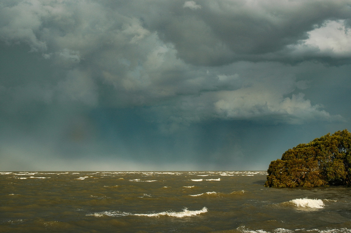
We got to Nudgee Beach about 6.30pm. The rear flank winds from the supercell were very impressive and whipped up the waves. CG lightning was occurring out to sea.
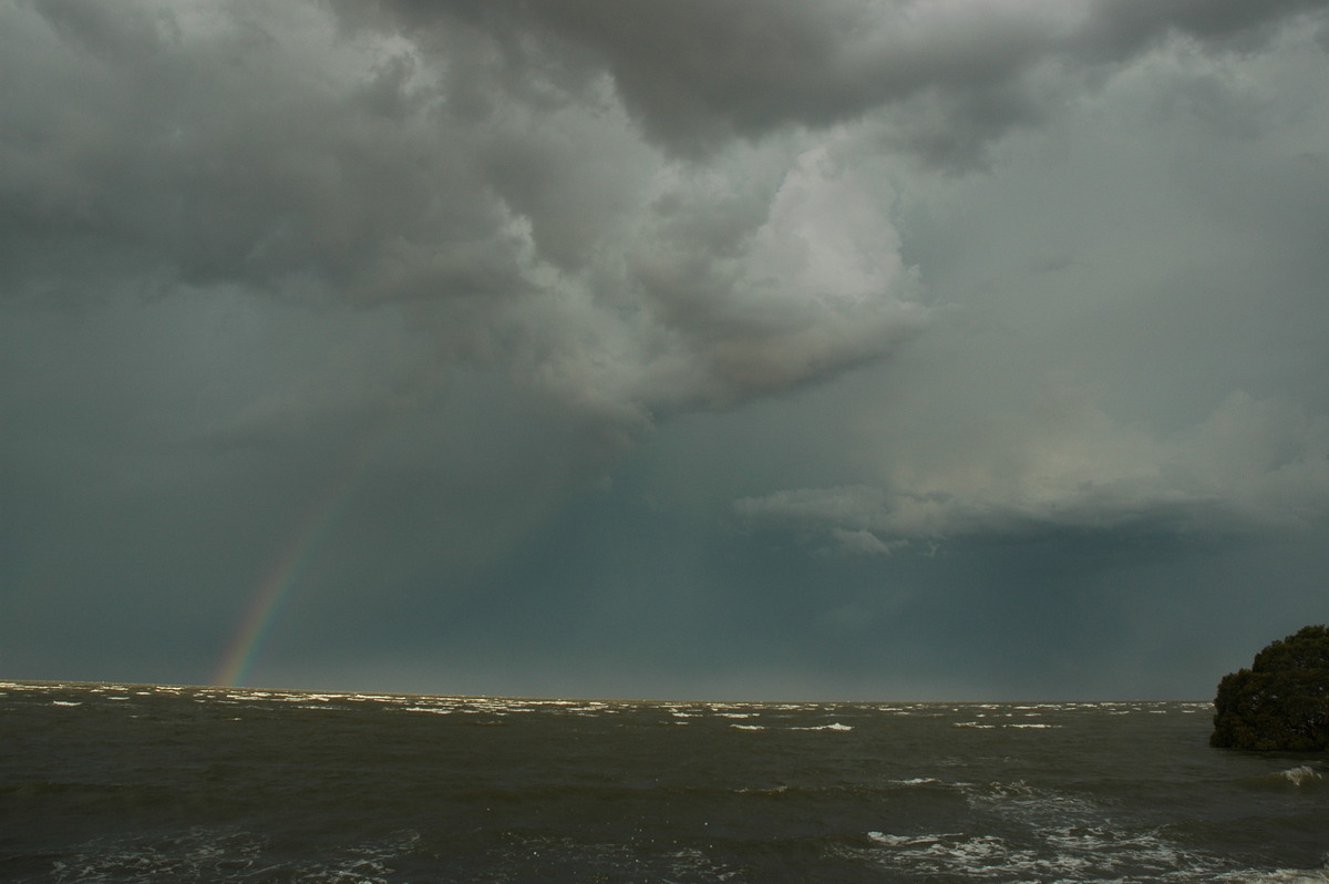
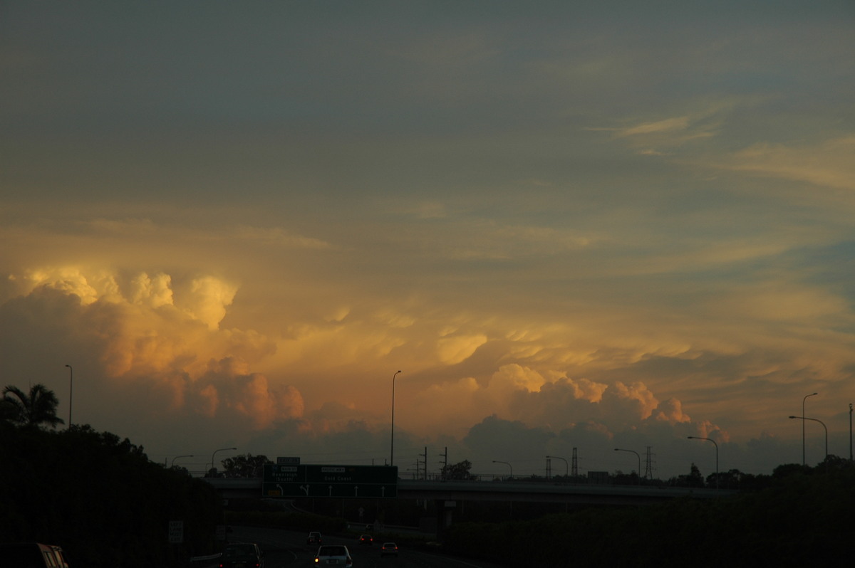
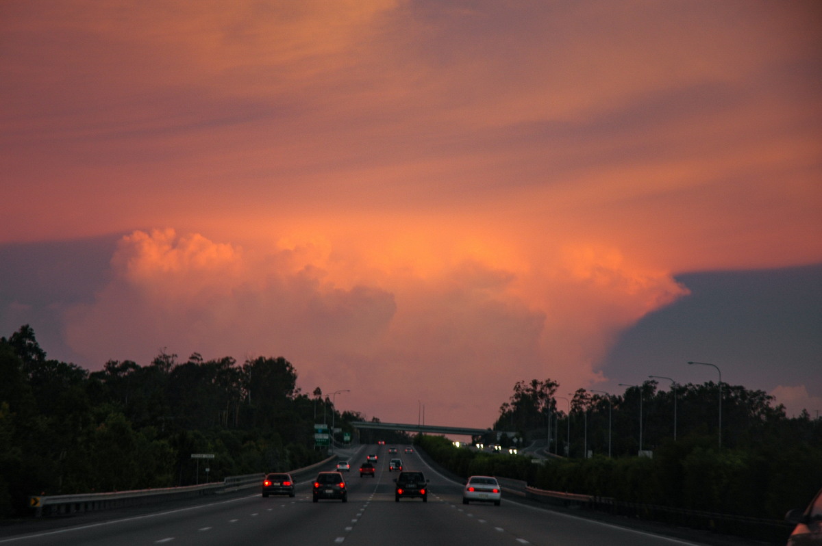
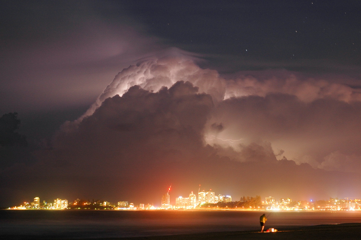
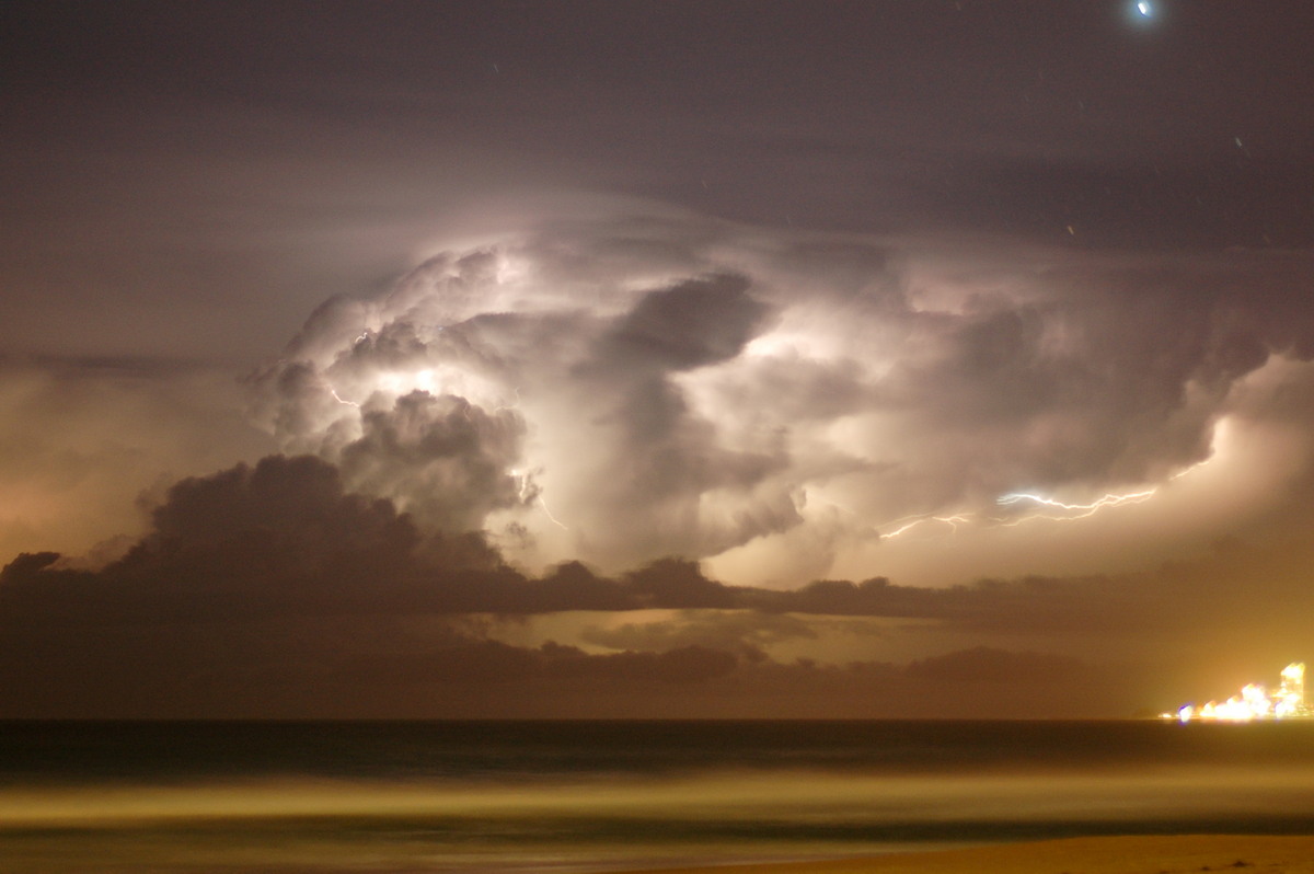
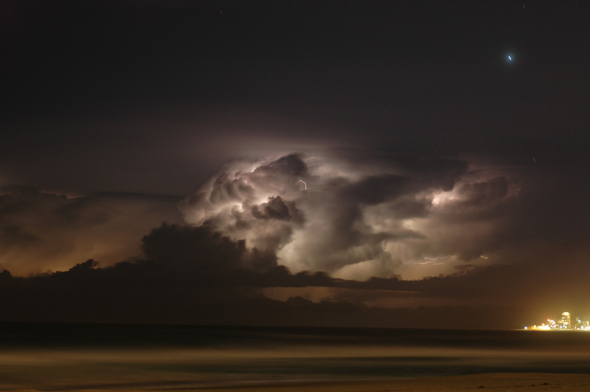
It was apparent more storms were crossing the Gold Coast area and given it would be a little while before dark, we decided to head that way (and towards home) in the hope of an offshore lightning show. Massive sunset lit towers from more southern storms made an incredible scene during the drive.
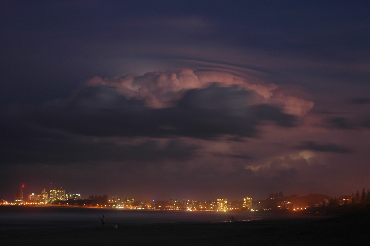
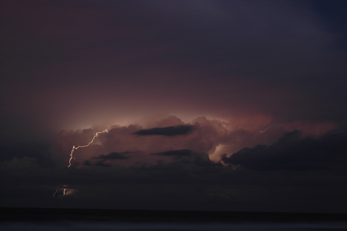
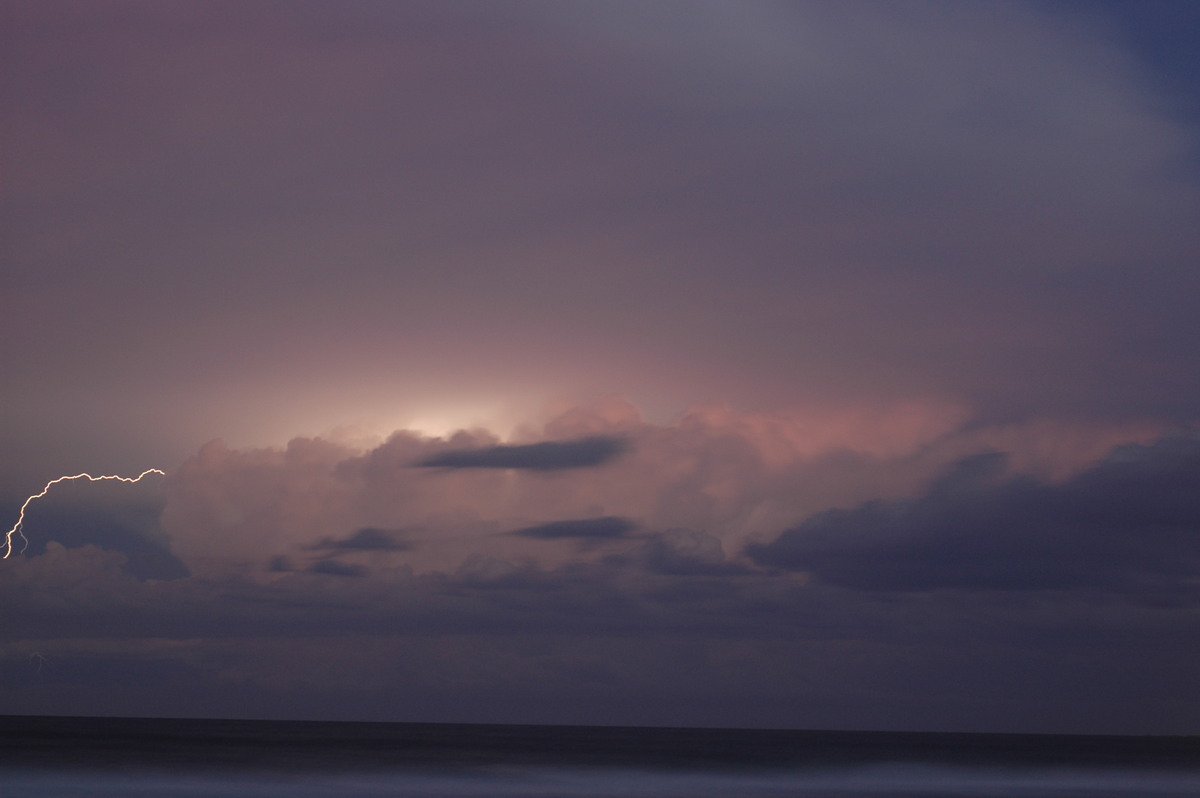
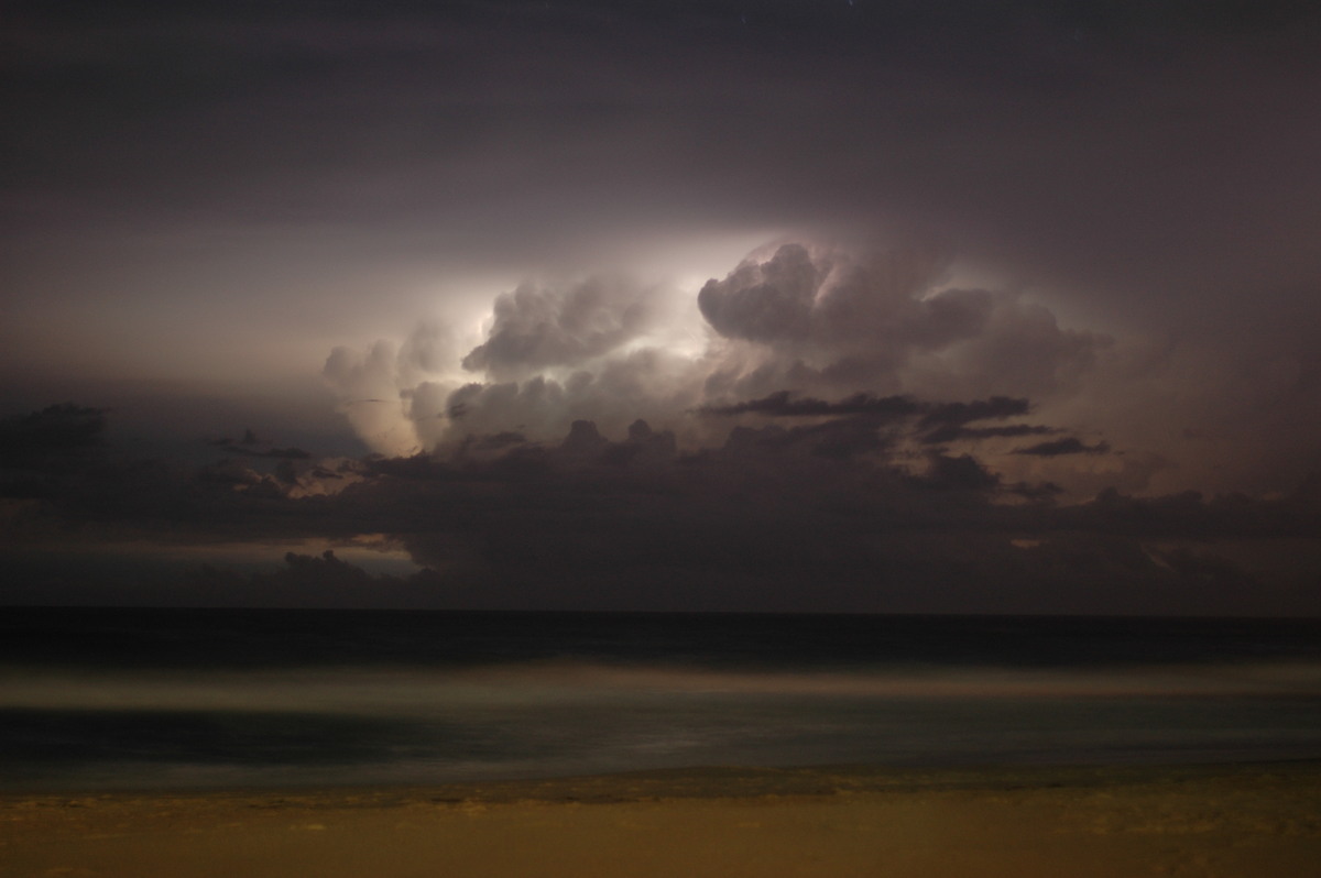
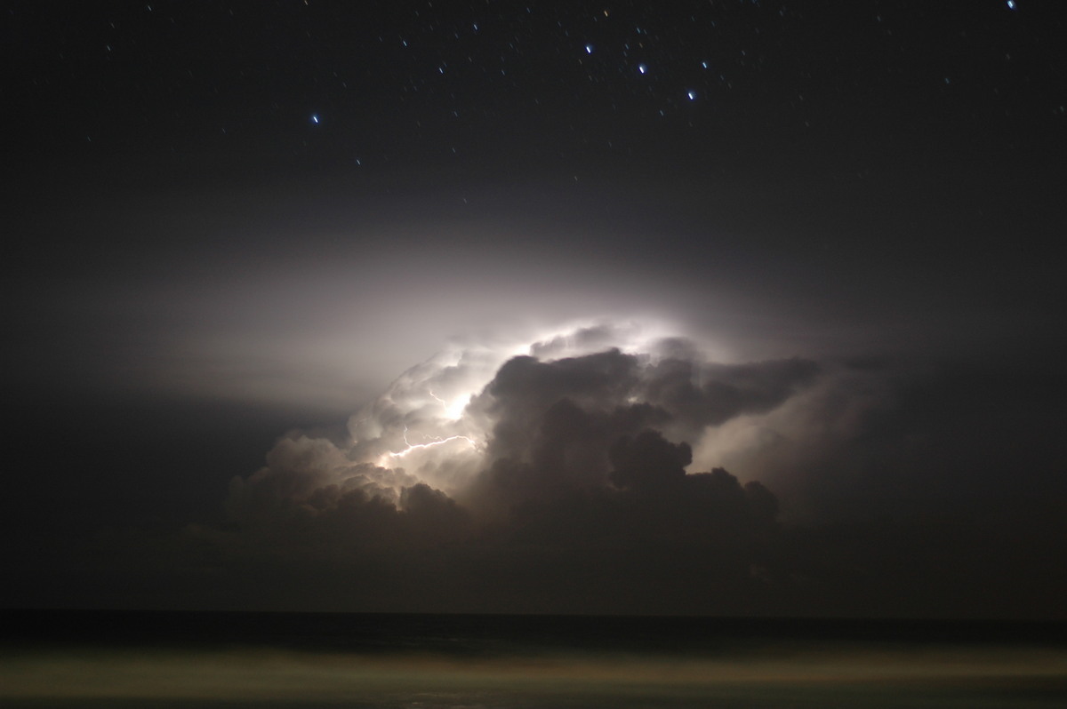
We set up cameras at Tugun Beach near Gold Coast Airport are were treated to a 1.5 hour show of lightning from cells up and down the coast.
From Weatherzone and Bureau of Meteorology
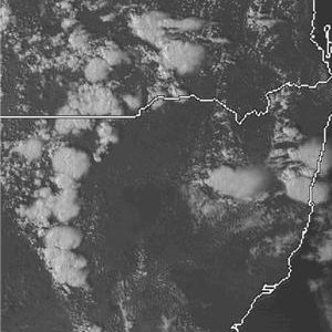
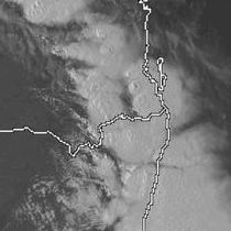
 4pm VIS and 2pm to 10pm 26/11 IR loop
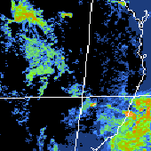
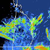 4pm VIS and noon to 10pm 27/11 IR loop
From Bureau of Meteorology
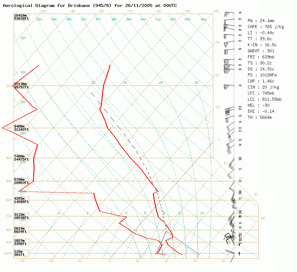
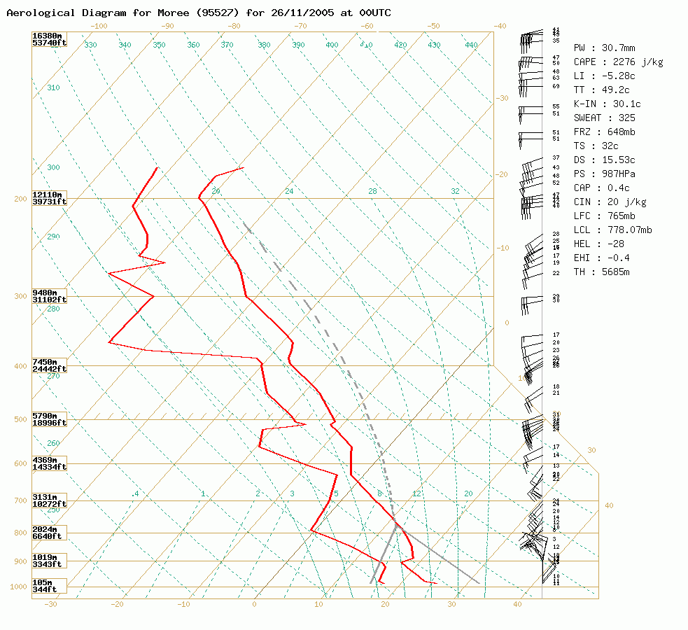 Brisbane and Moree soundings at 11am 26/11 local
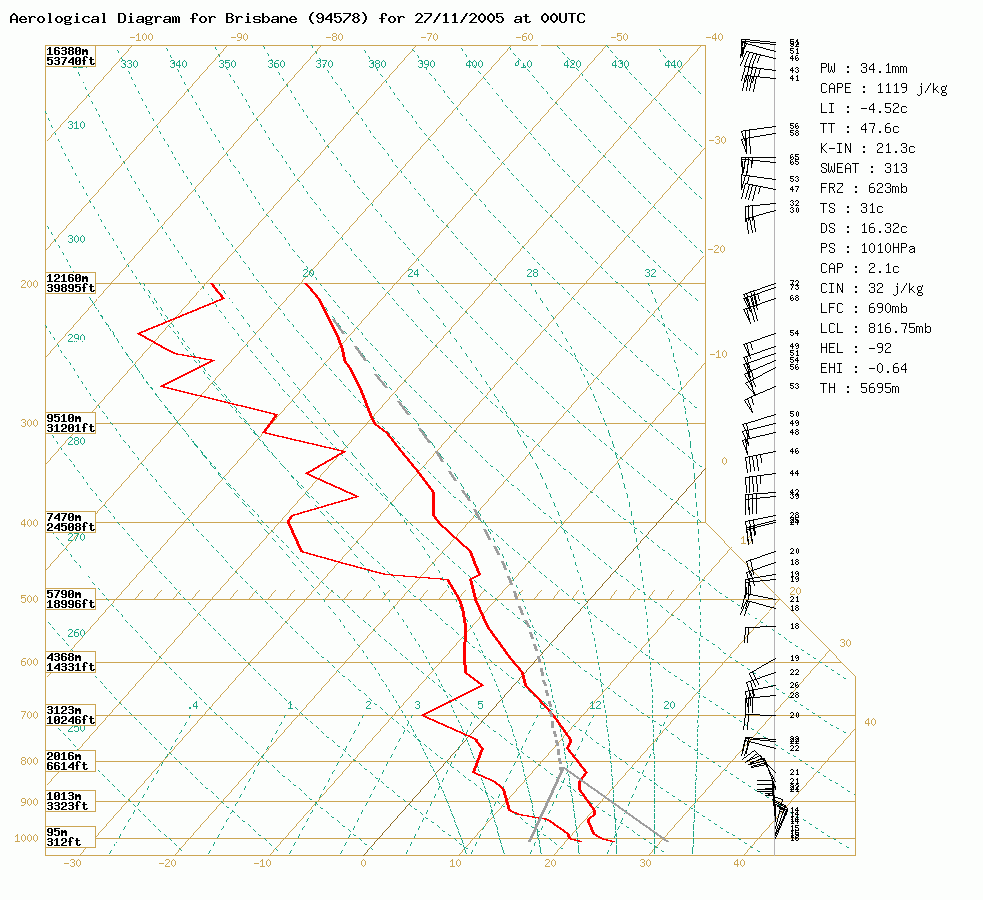
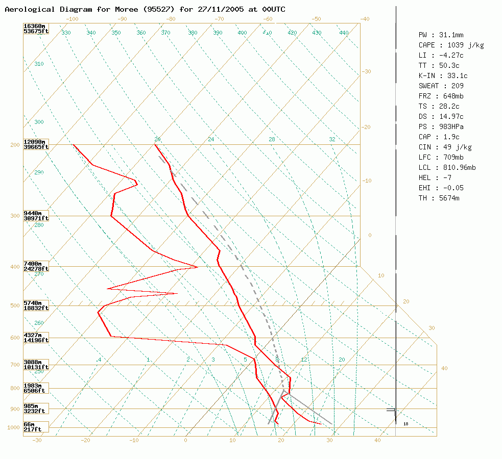 Brisbane and Moree soundings at 11am 27/11 local
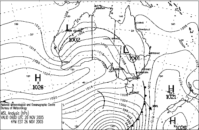
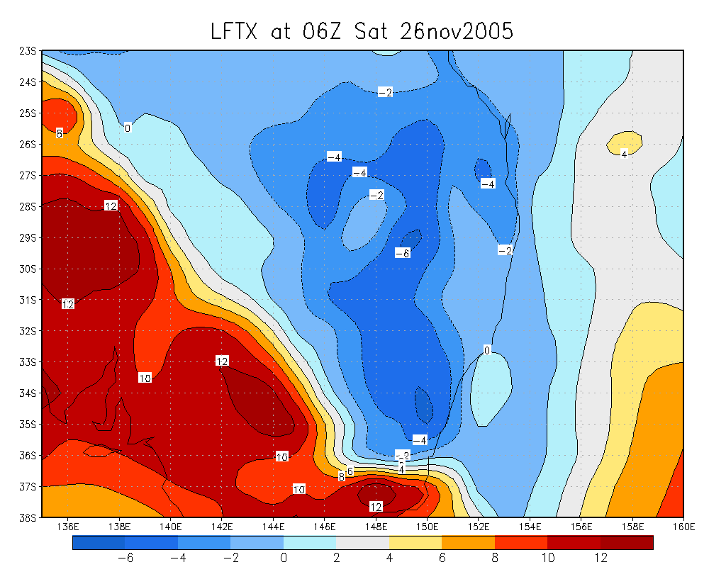
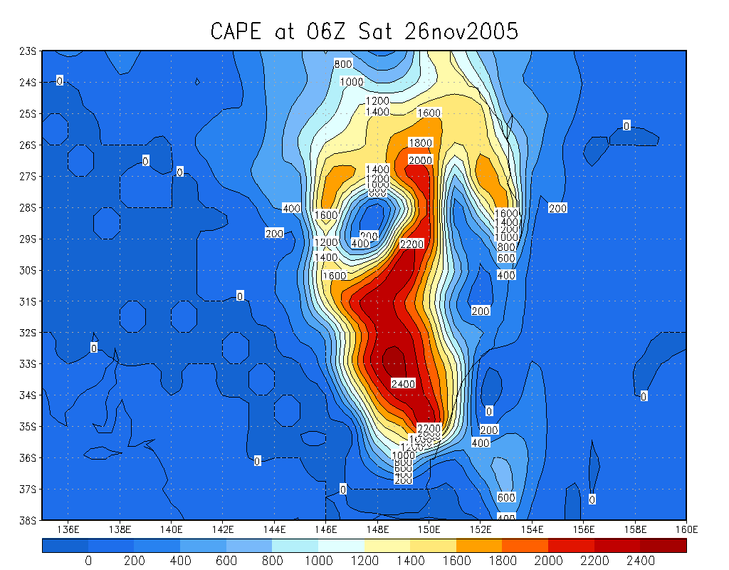
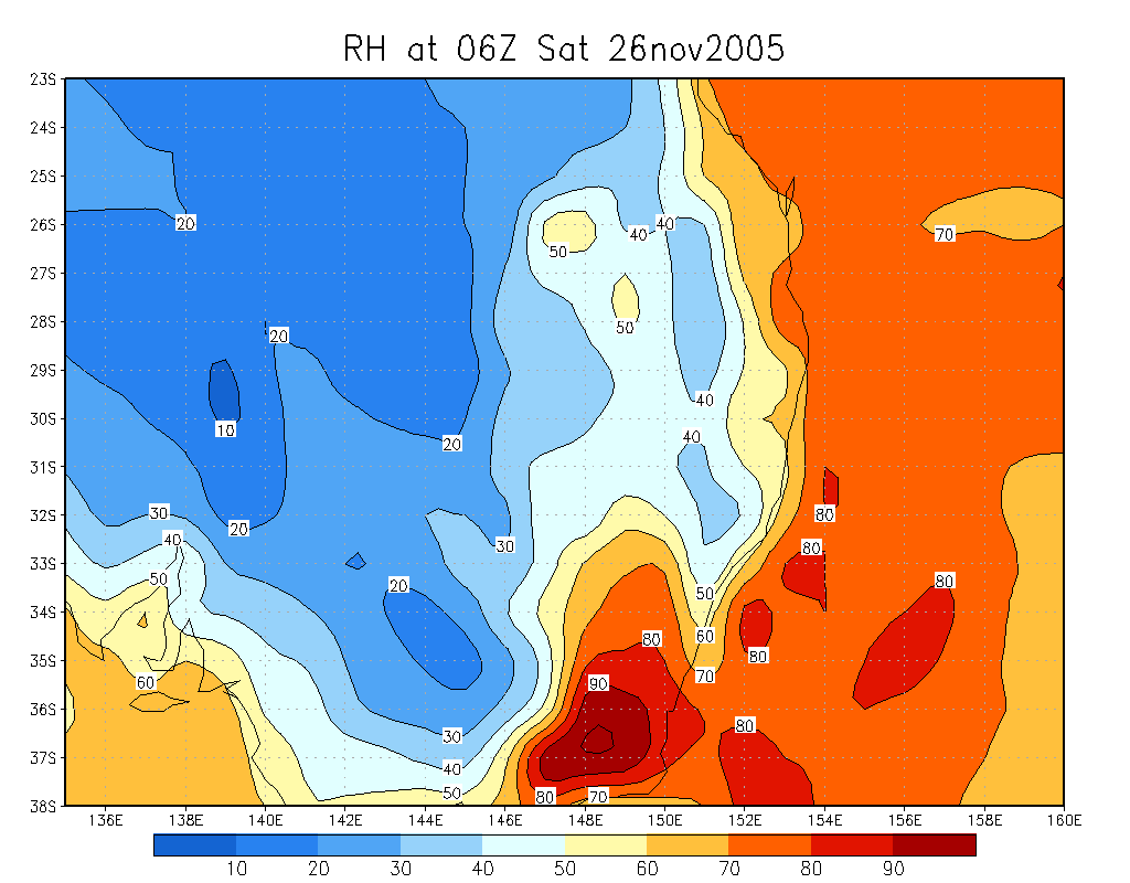
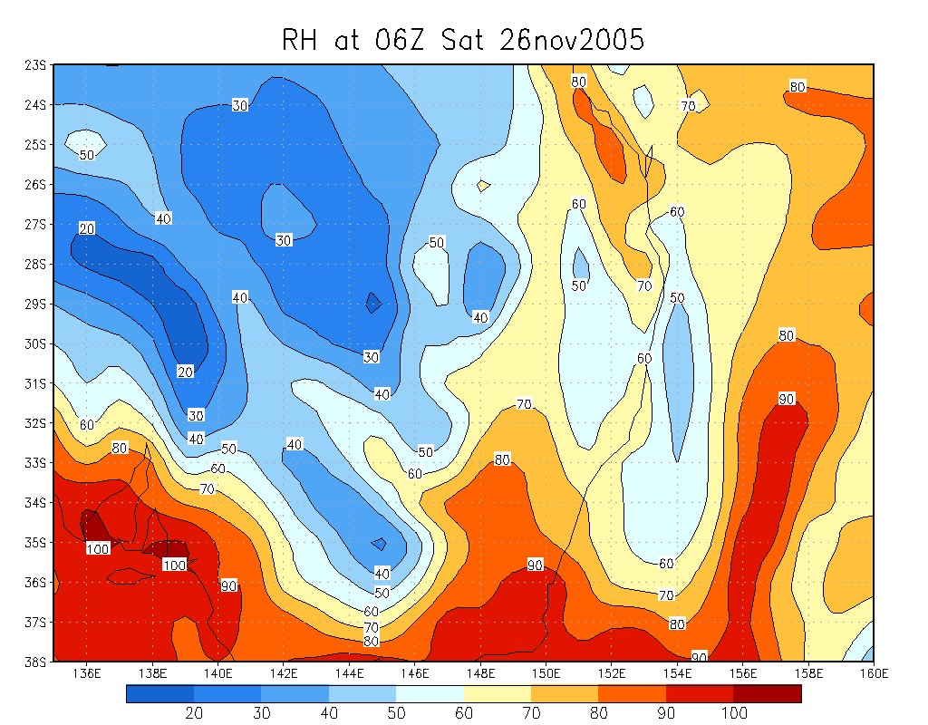
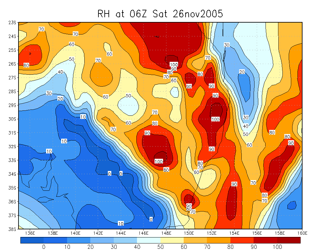
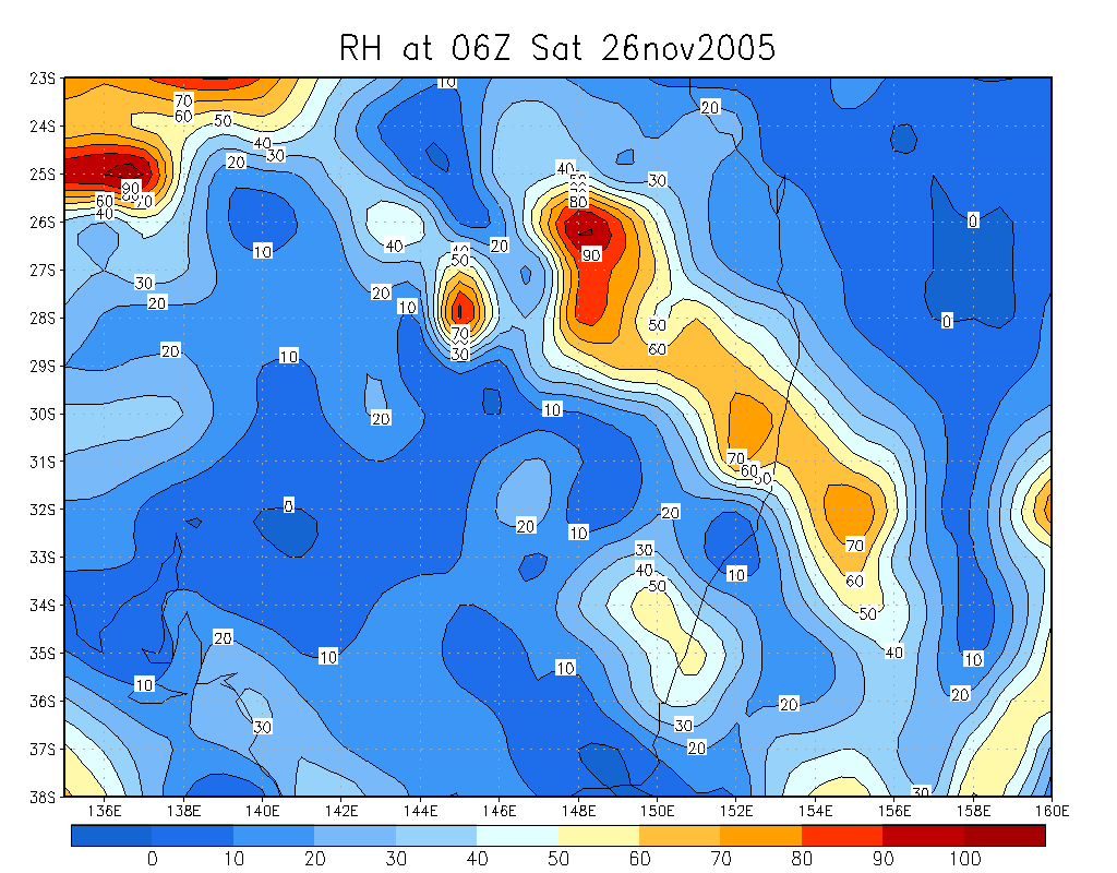
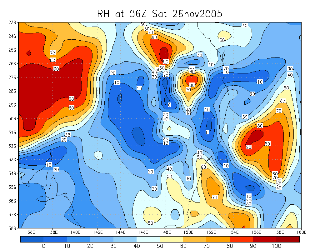
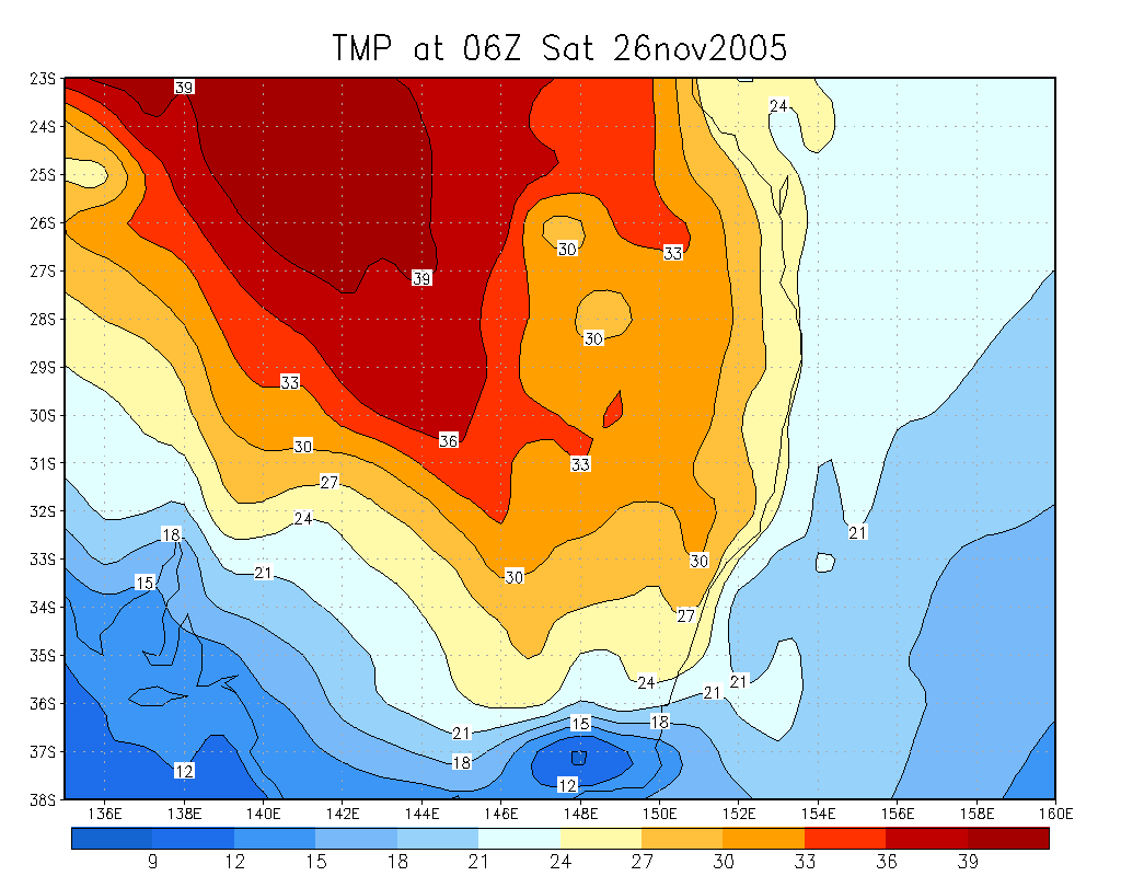
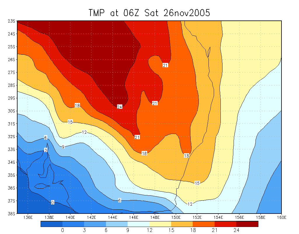
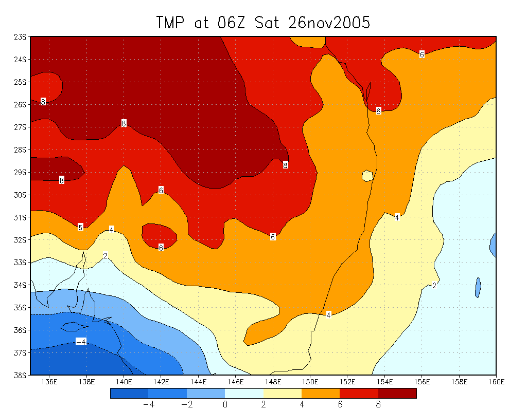
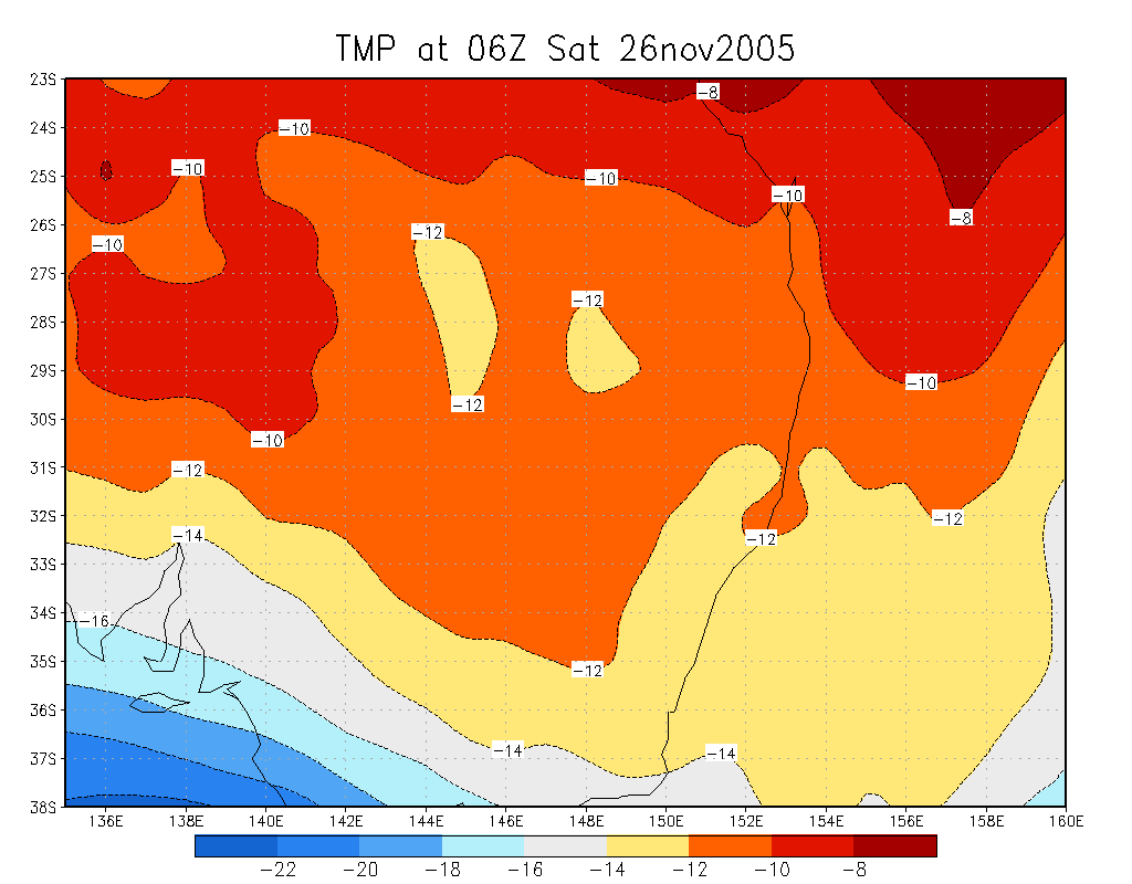
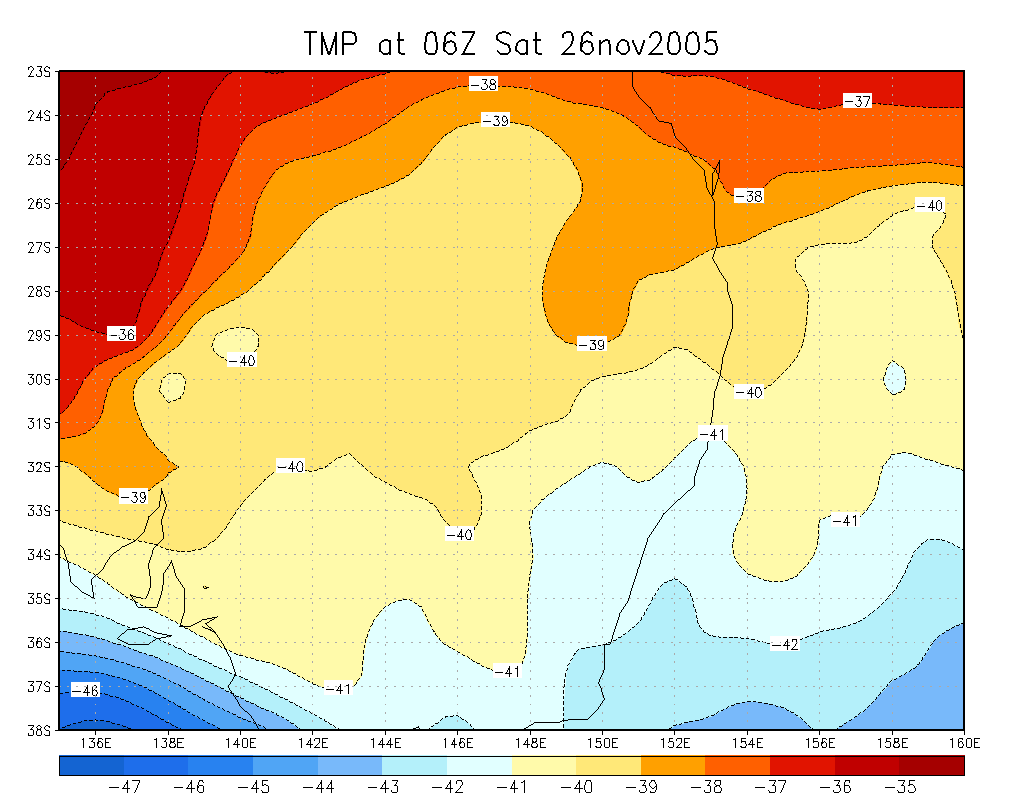
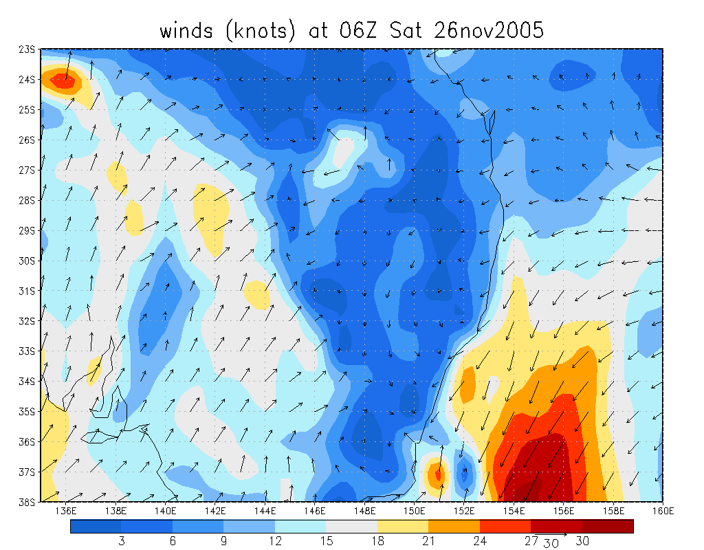
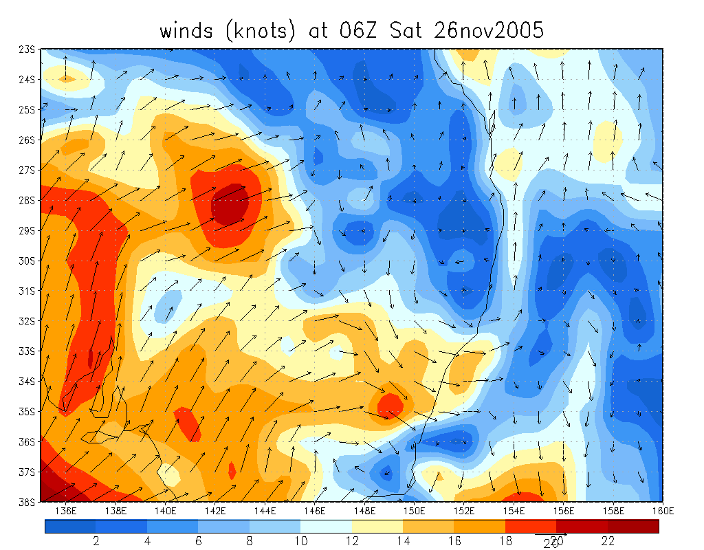
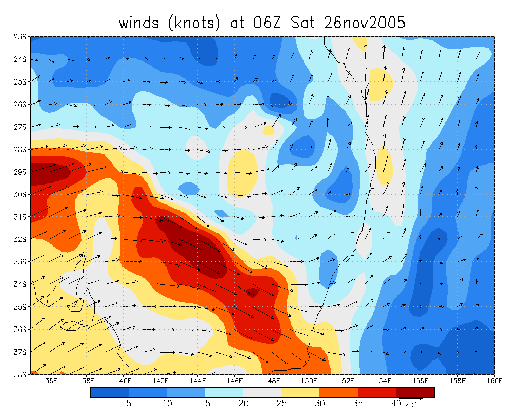
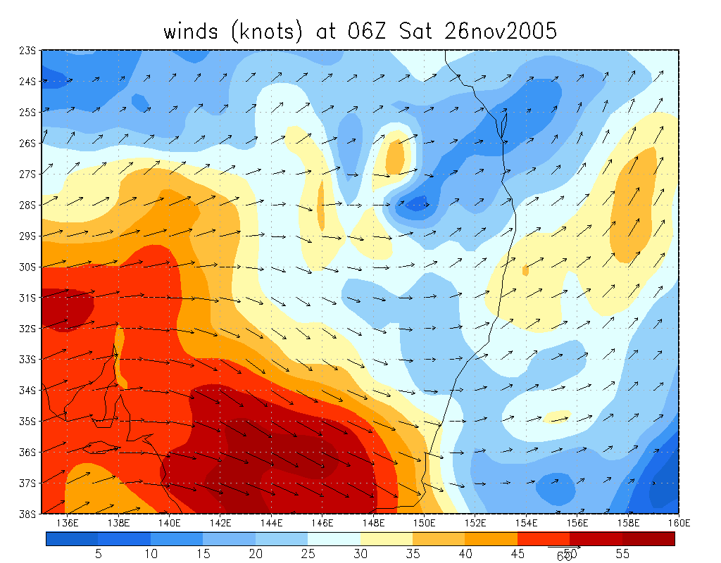
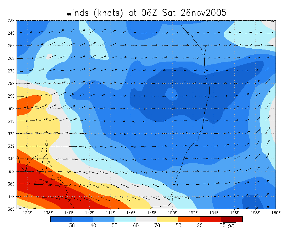
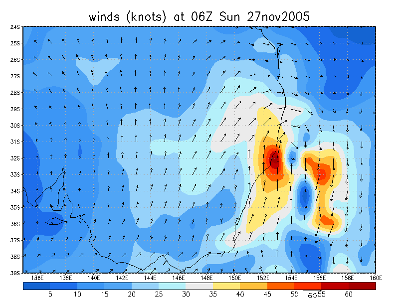
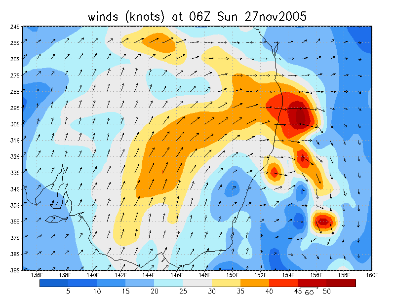
From NOAA 26/11/2005 06z analysis
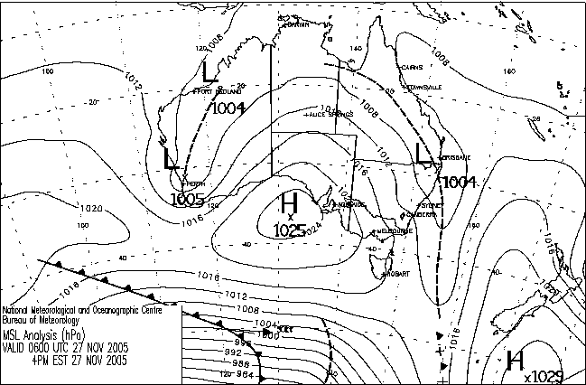
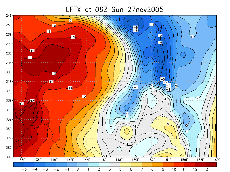
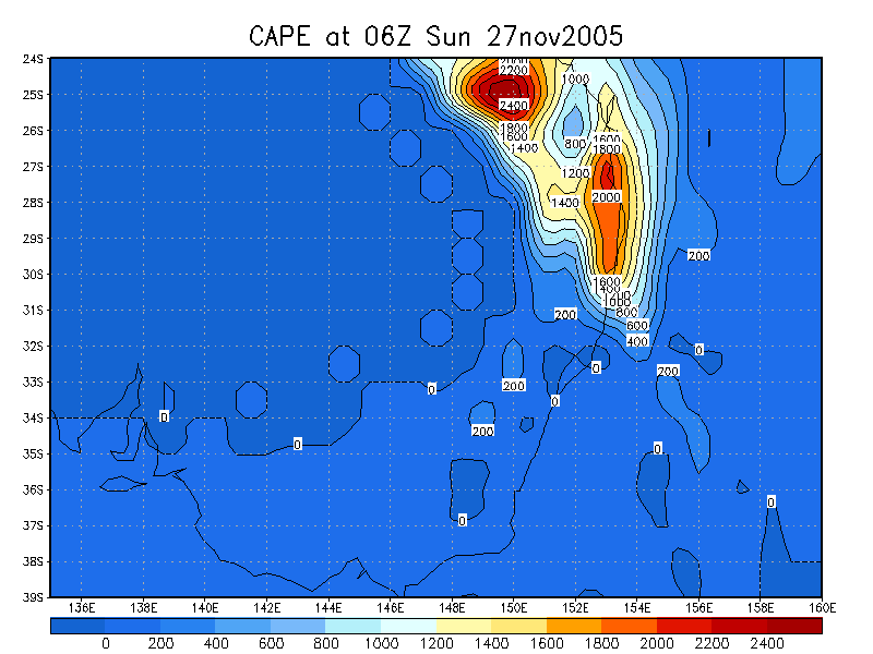
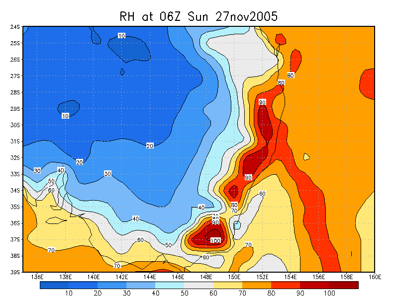
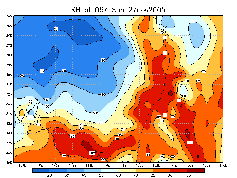
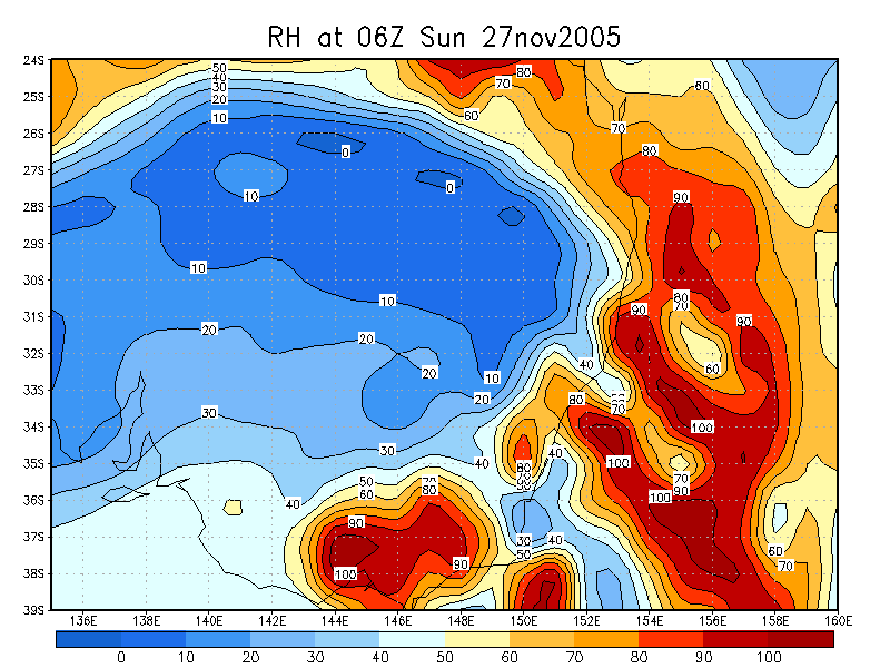
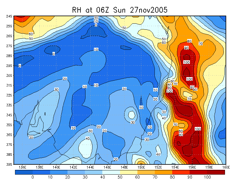
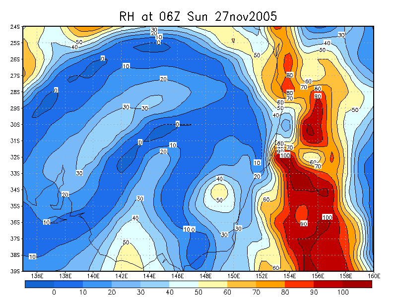
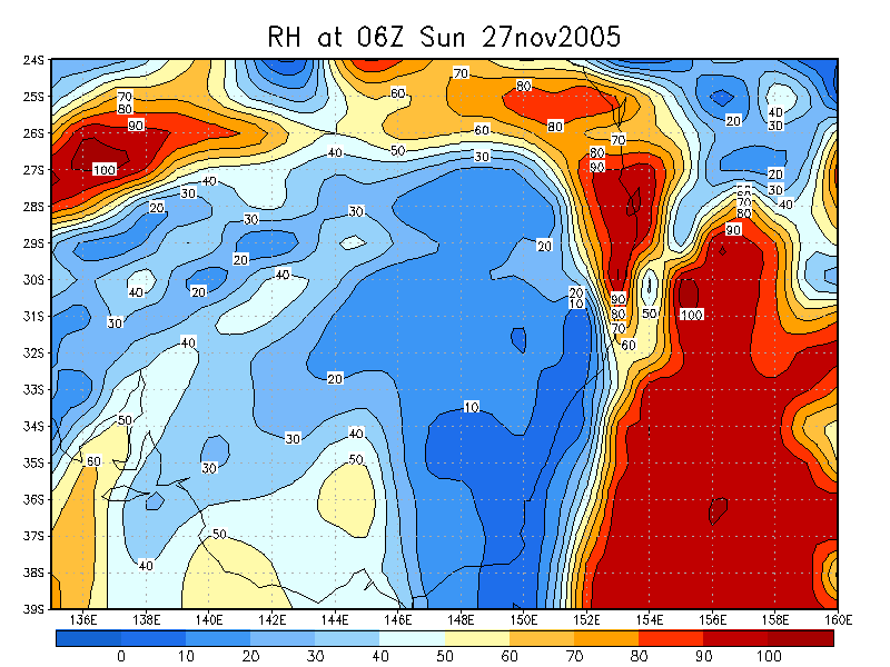
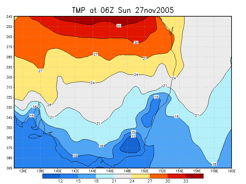
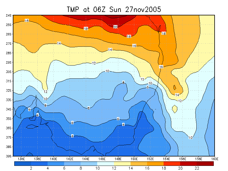
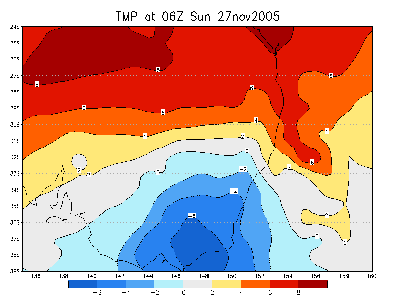
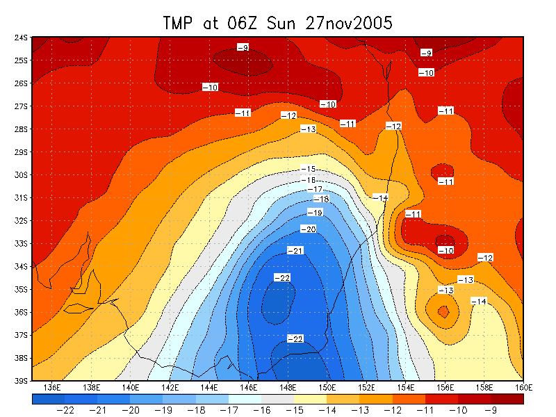
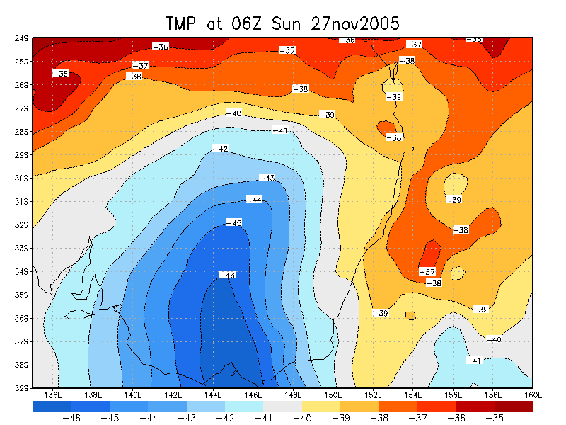
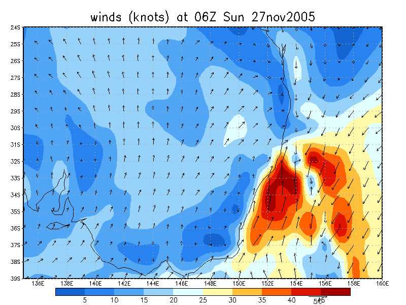
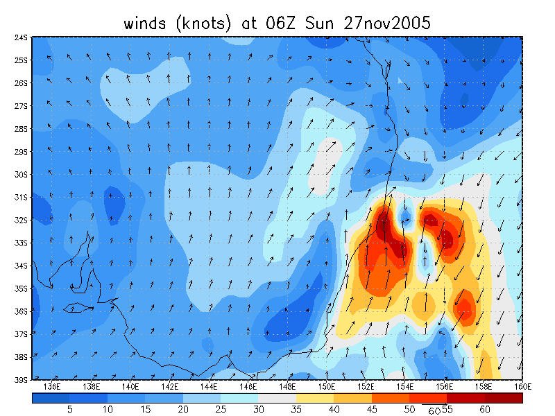
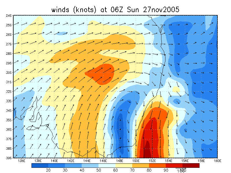
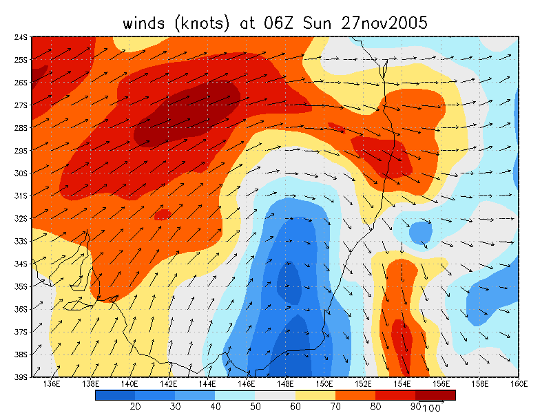
From NOAA 27/11/2005 06z analysis
|
Document: 200511-06.htm Updated: 13th January 2006 |
[Australian Severe Weather index] [Copyright Notice] [Email Contacts] [Search This Site] |