and Chasing
[Index][Archives]
NSW Northern Tablelands Snow Chase: Wednesday 22nd and Thursday 23rd June 2005
by Michael Bath, Dave Ellem and Rodney Wallbridge
| Storm News and Chasing [Index][Archives] |
NSW Northern Tablelands Snow Chase: Wednesday 22nd and Thursday 23rd June 2005 by Michael Bath, Dave Ellem and Rodney Wallbridge |
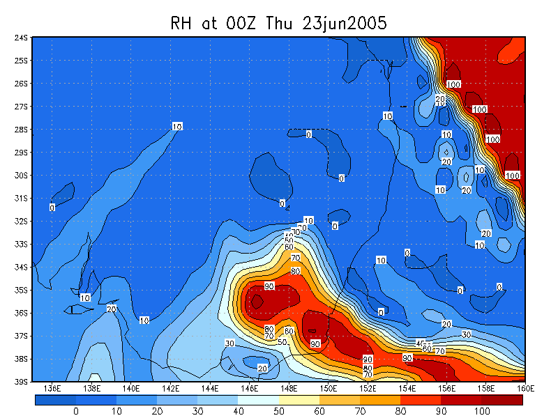
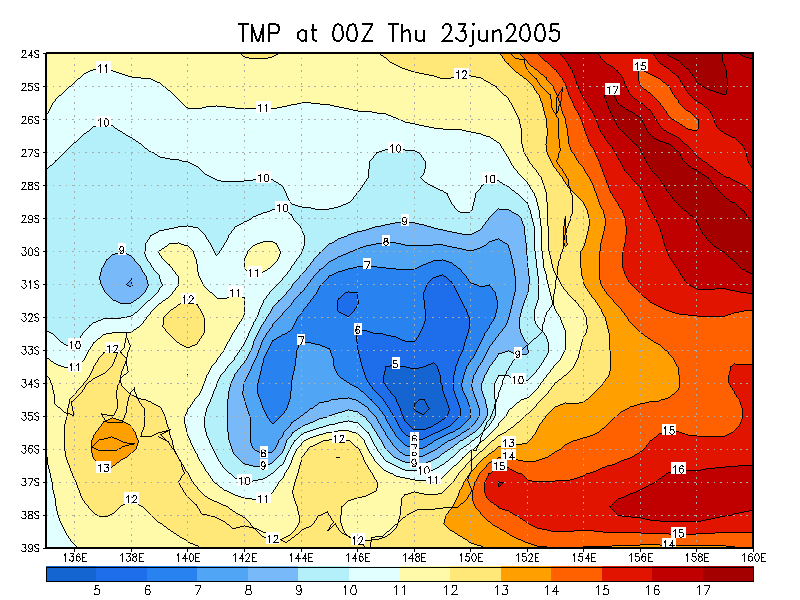
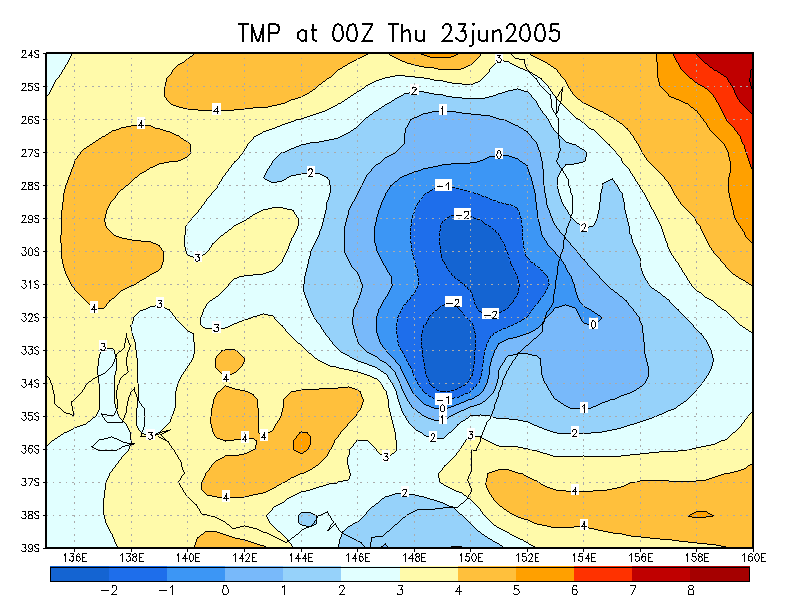
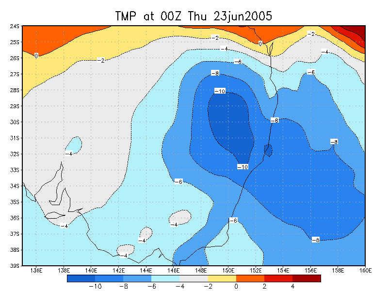
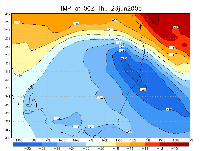
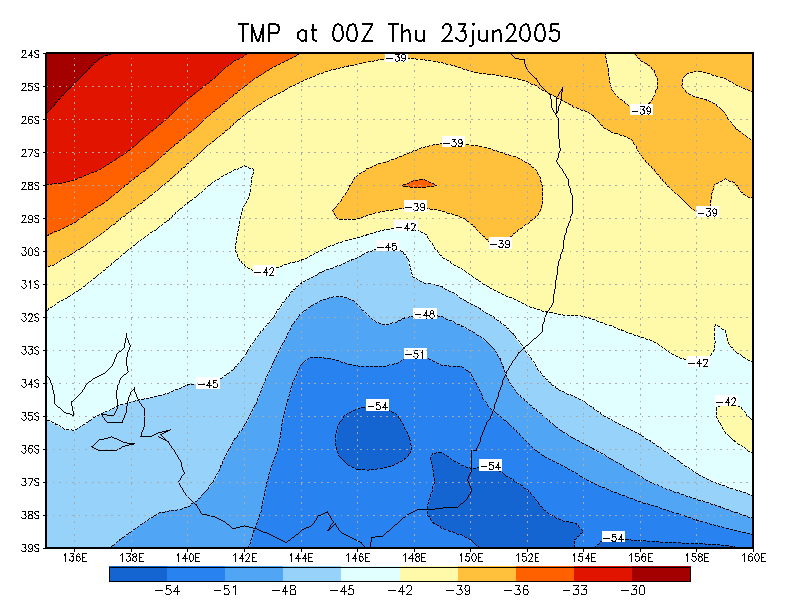
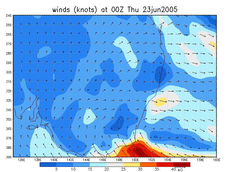
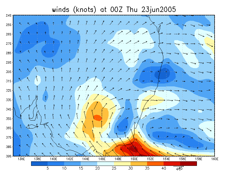
A very significant cold outbreak was forecast to affect the Central and Northern Tablelands of NSW mid week. An very cold upper low moving generally NE was expected to bring 850 temps of around -3 degrees and 500 temps of about -30 over the Northern Tablelands and combine with good moistures levels between 850 and 700hPa.
The Bureau of Meteorology came on board with forecasts of scattered snow showers down to 600 metres across all of the higher terrain in NSW (later downgraded to between 800 and 900 metres). The system was unusual in that it had forecasted ample instability to produce snow showers, without the need for the usual orographic lift required in the Northern Tablelands for snow.
It was too much to resist so chases from NE NSW and SE Queensland planned to meet up at Guyra on the Wednesday night and hope to be trapped there by extensive snowfalls !
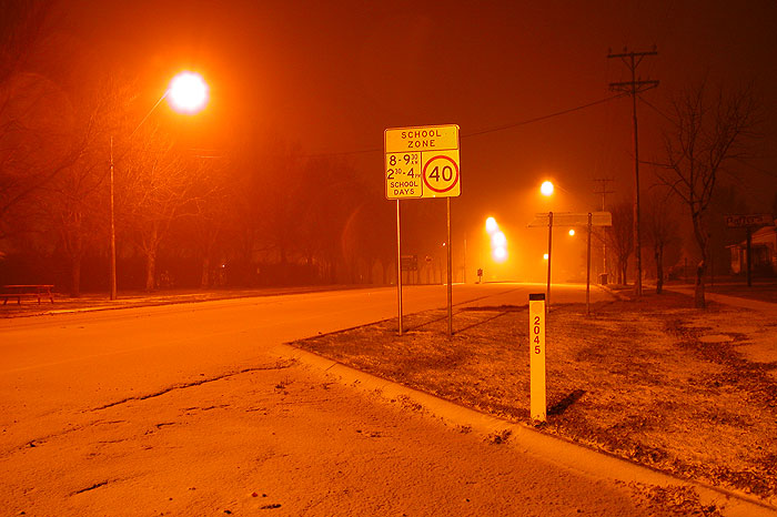
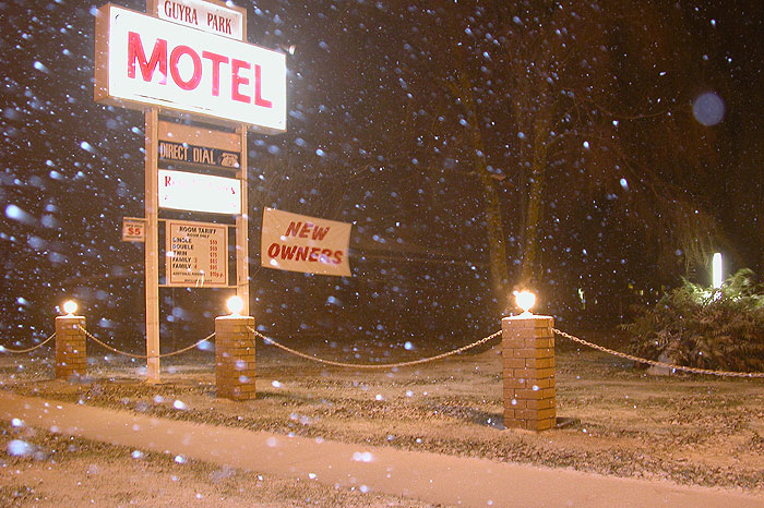
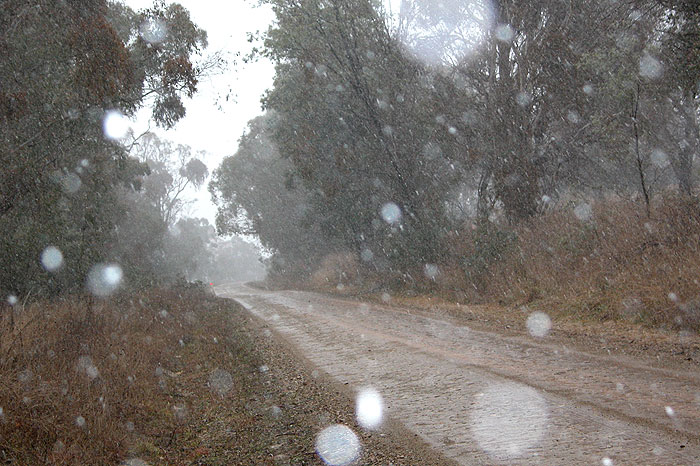
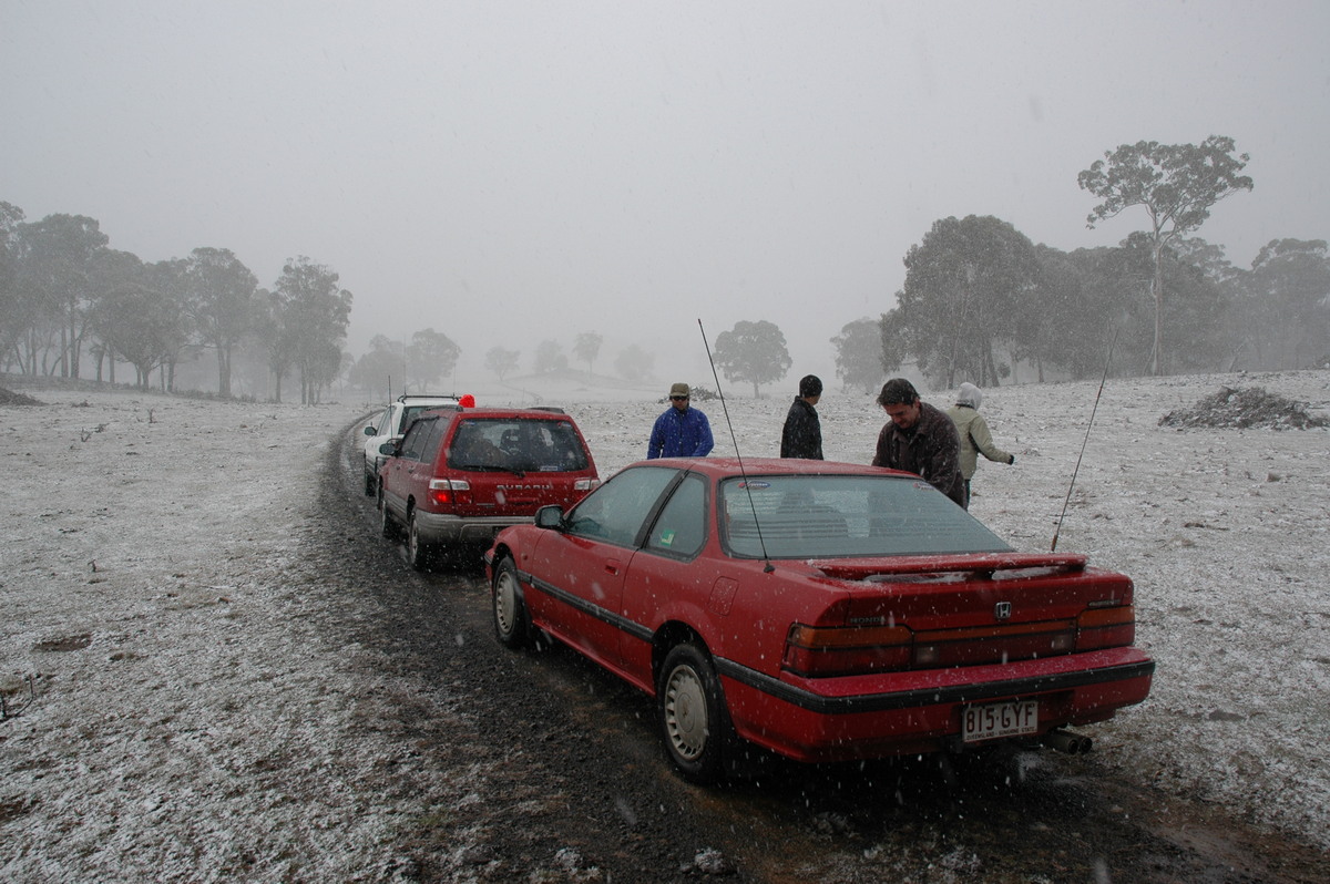
Rodney, Dave and I left Lismore at 4.30pm and arrived in Guyra about 8.30pm. The temperature dropped from 7 at Tenterfield to 2 by the time we reached the Ben Lomond area south of Glen Innes. Some light showers fell from large cumulus, before some brief sleet was encountered. The visible satellite imagery we saw prior to leaving was very encouraging with widespread convection spreading ENE across from western NSW.
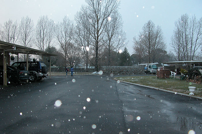
A moderate shower of sleet then snow fell at Guyra from about 9.30pm and persisted for the next 30 minutes. Snow accumulated to about 1cm on the ground.
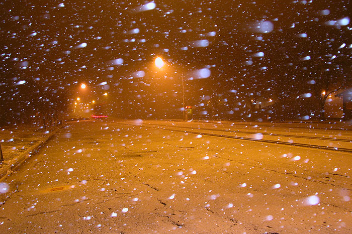
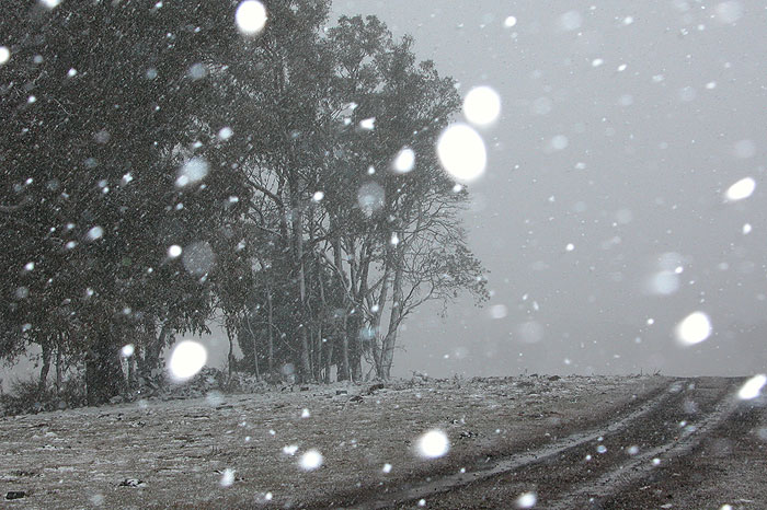
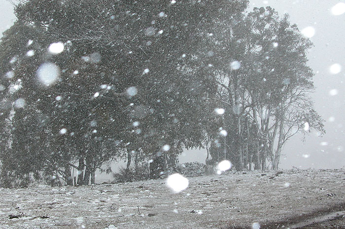
We were hoping that this was the start of a night of continuous snow but it was not to be - virtually nothing followed till the next morning. We checked out of the motel and decided to go to higher terrain at Ben Lomond and see what had occurred there. The area had no snow accumulations but snow showers started during the 20 kilometre drive north to Inn Road at Ben Lomond.
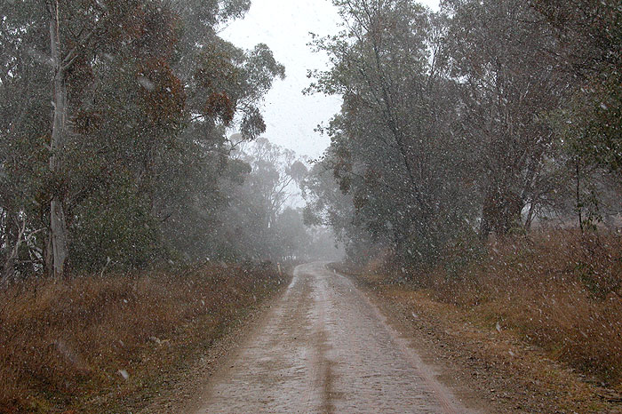
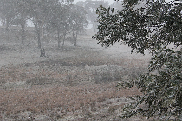
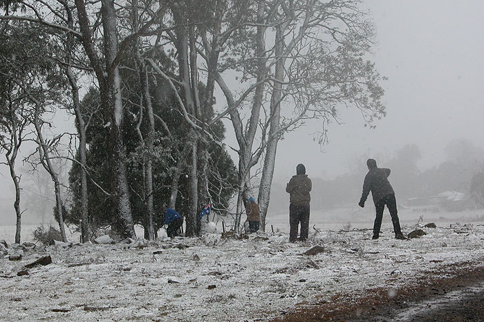
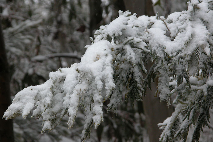
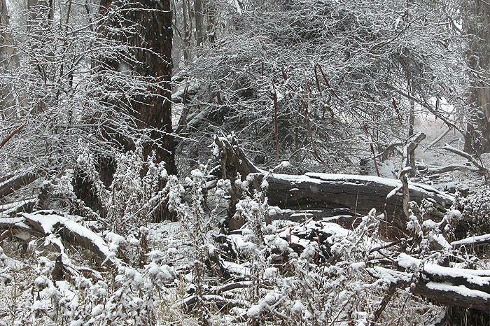
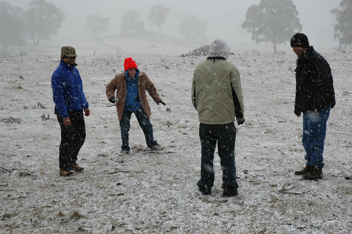
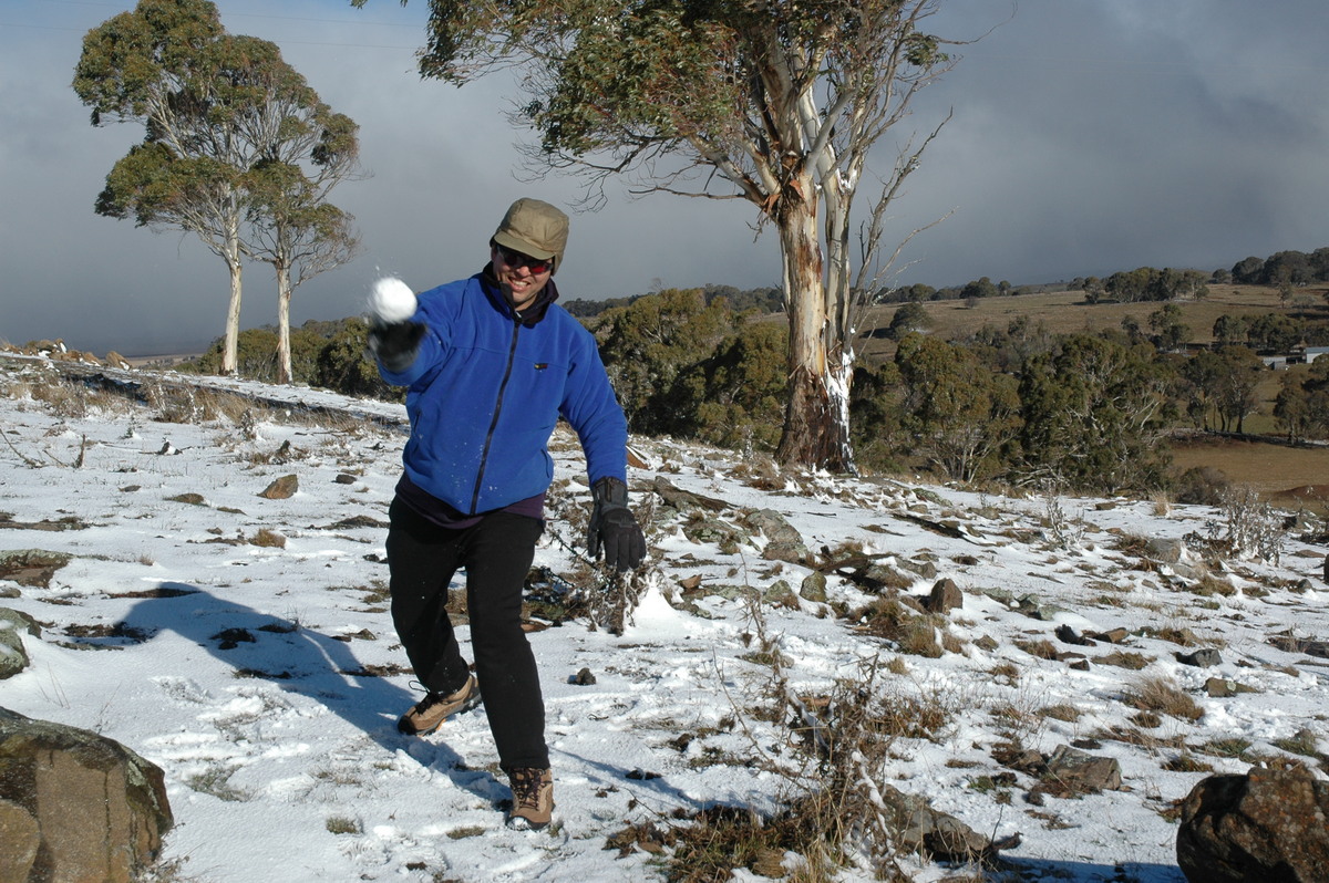
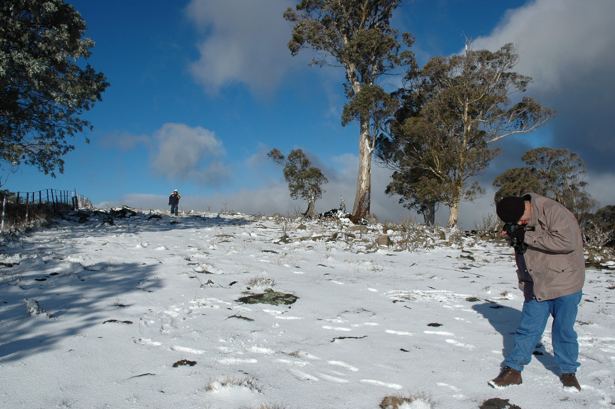
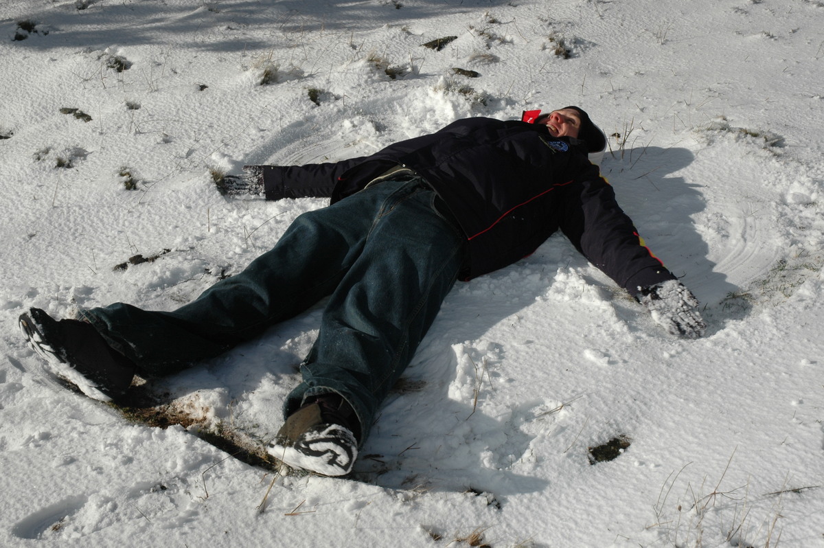
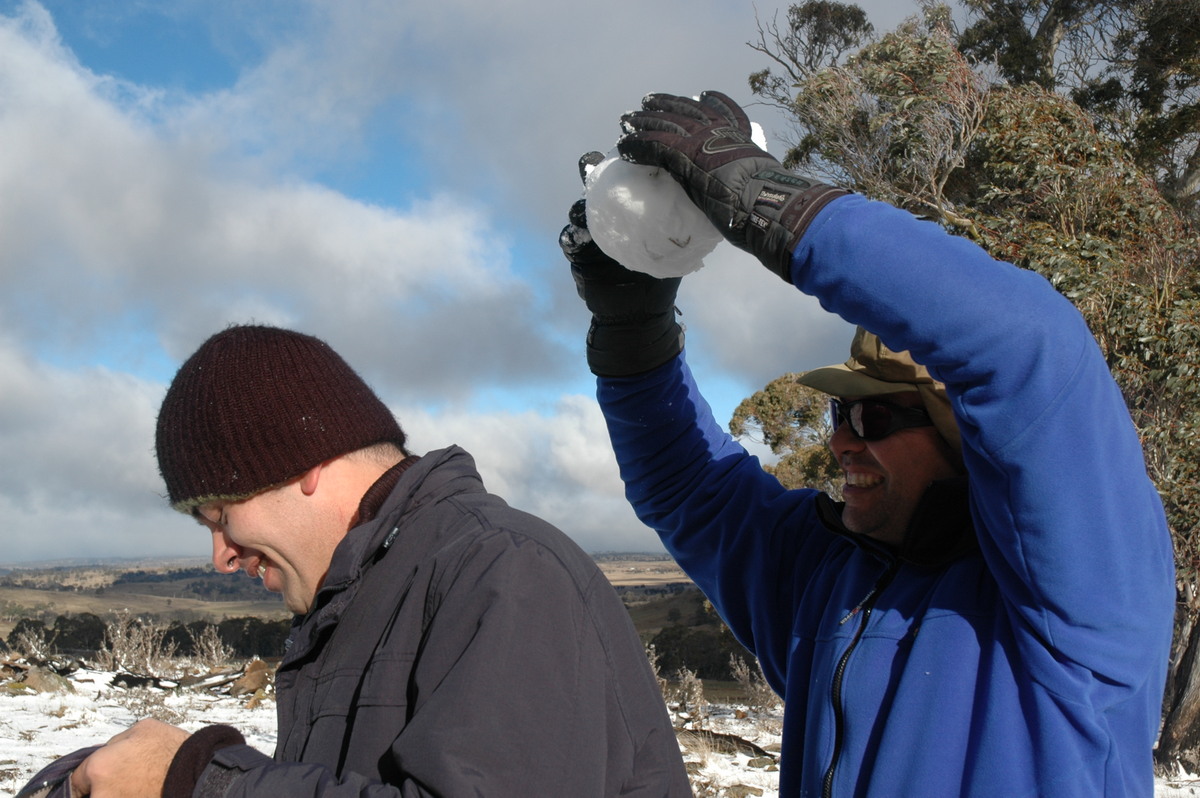
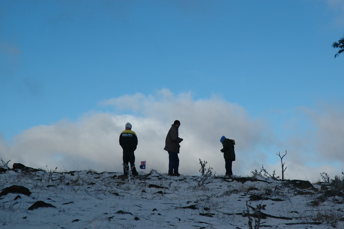
Three cars and six chasers met up at the access track to the mobile phone towers on one of the Ben Lomond hills around 9.45am. Snow was continuous now and soon begun to accumulate on everything ! We stayed and played in the snow for about two hours, in which time about 3cm of powder snow fell.
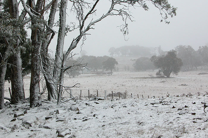
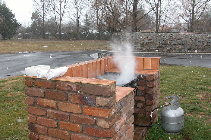
After the snow eased off, we headed back to Guyra and had a BBQ in -1 degree temps and the odd snow shower.
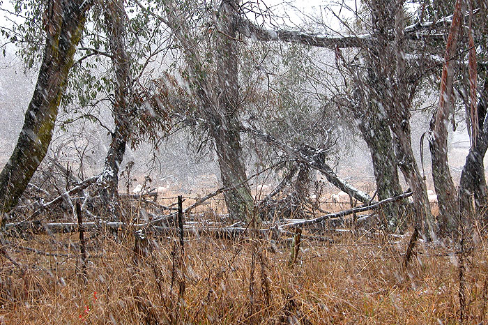
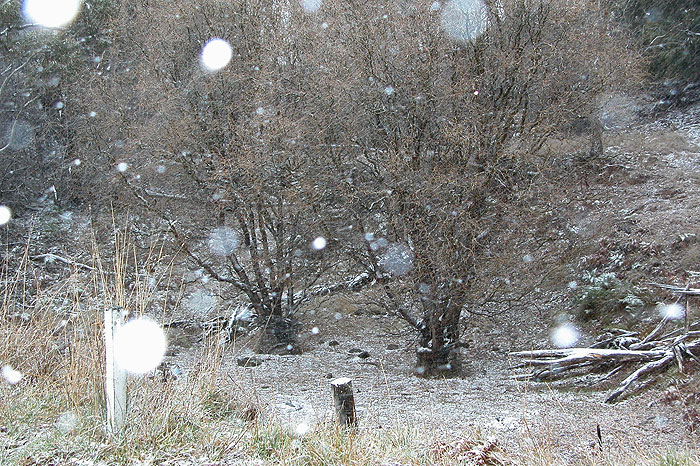
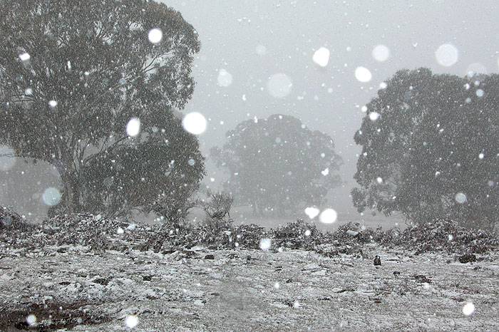
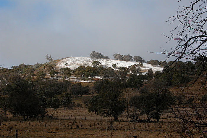
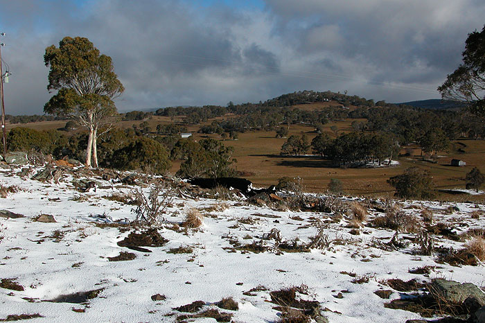
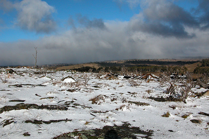
The chasers then decided to have a look around to see if other areas had accumulated much snow. We found very little, apart from good cover on the southwest to west facing peaks around Ben Lomond.
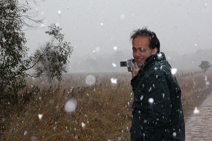
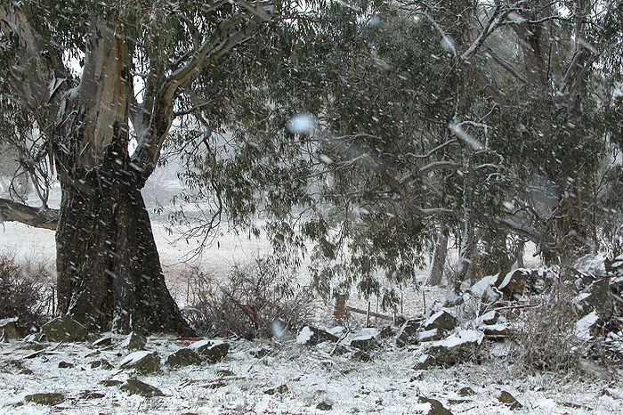
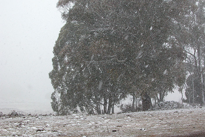
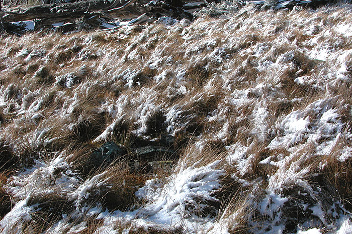
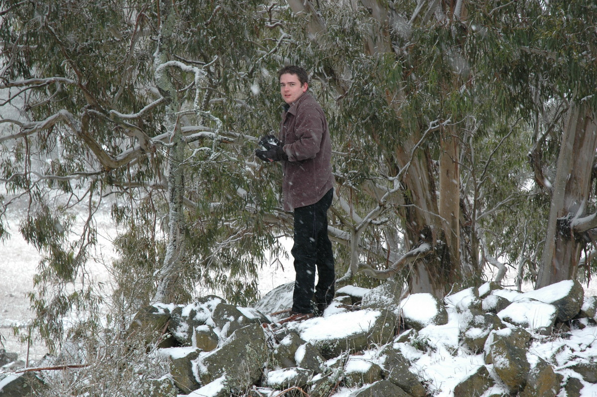
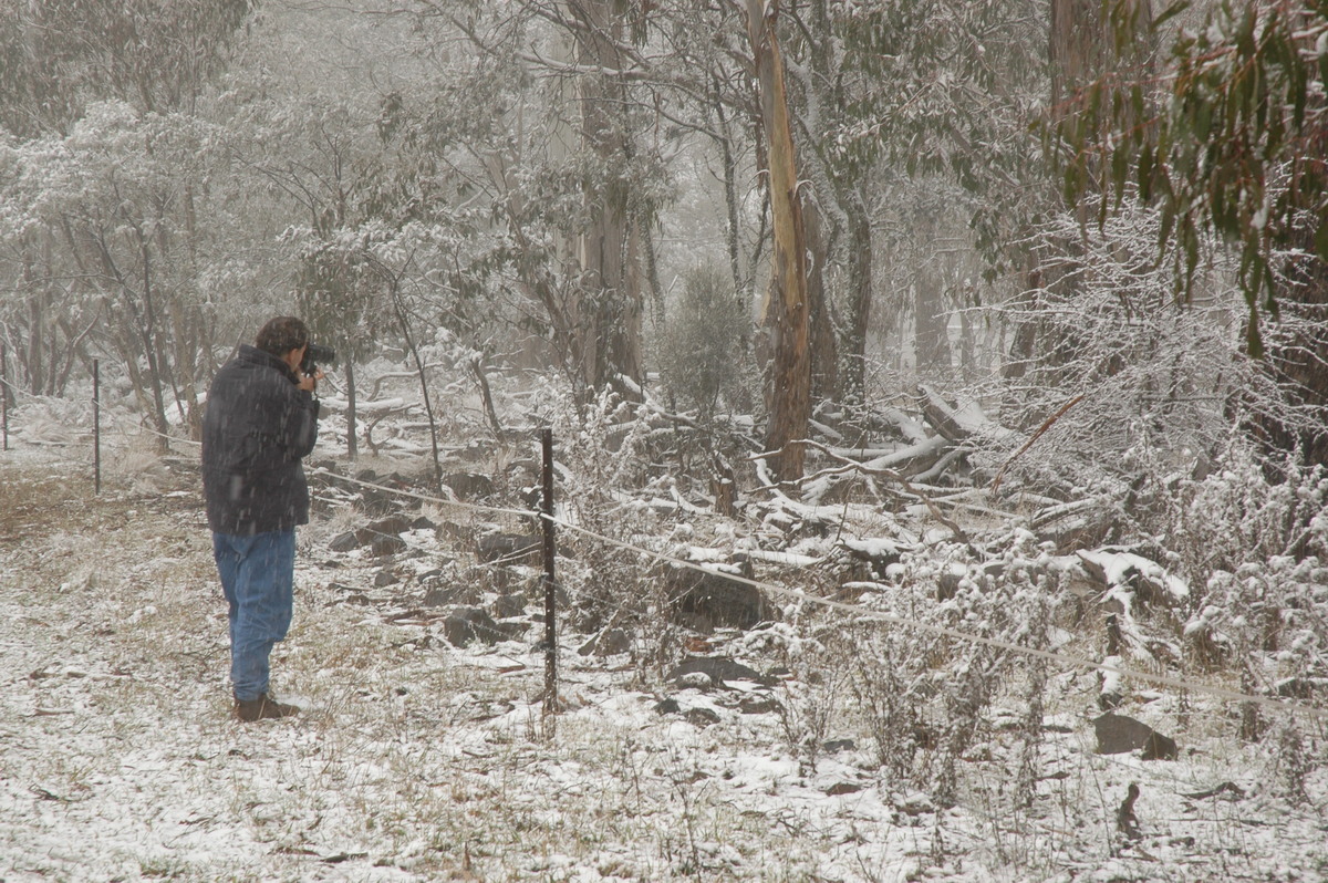
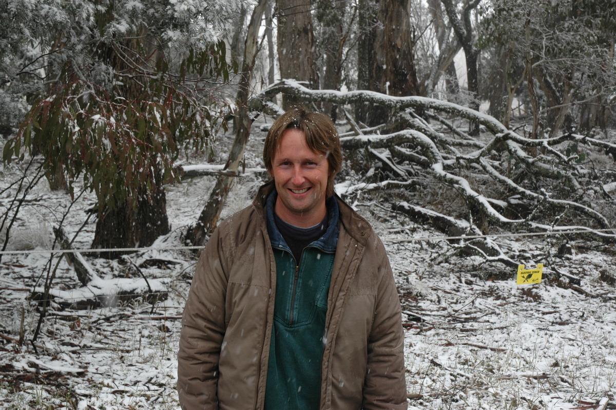
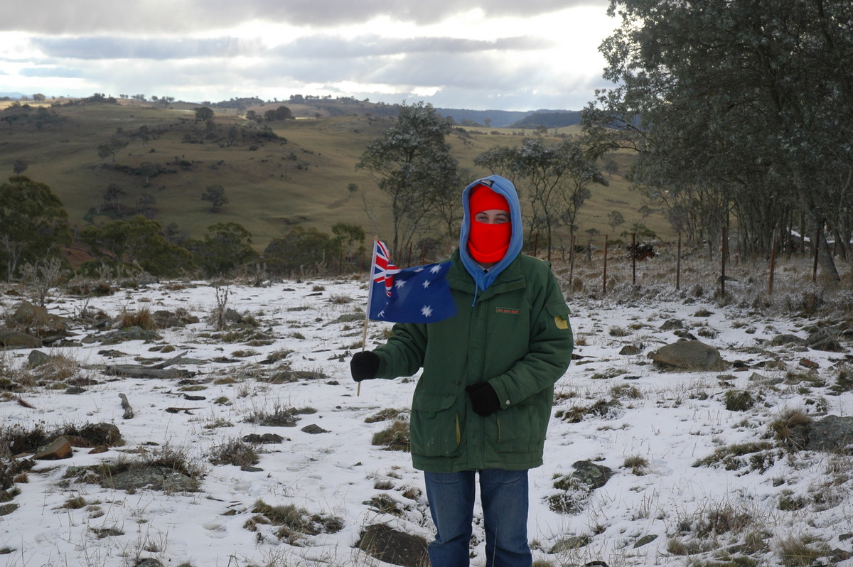
We chose to drive up the dirt track to the highest point adjacent to the communications towers. The ground was covered in a beautiful 3 to 4 cm of powder snow. Just after we arrived the sun came out and the scene was just incredible. A few light snow showers moved across during mid to late afternoon while we were there.
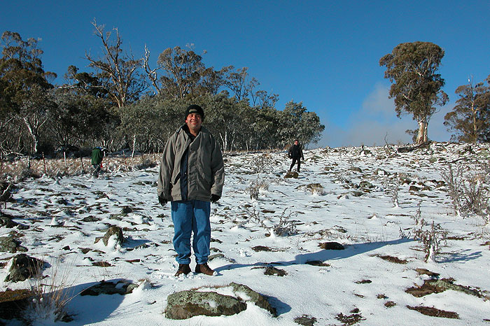
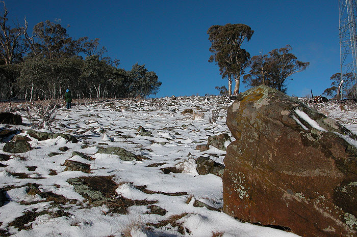
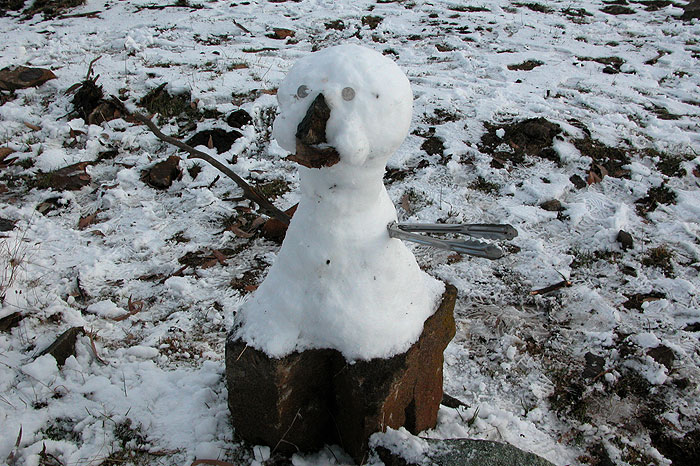
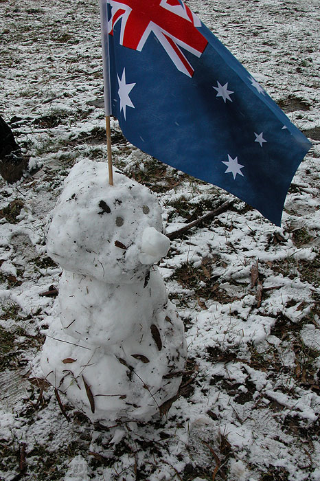
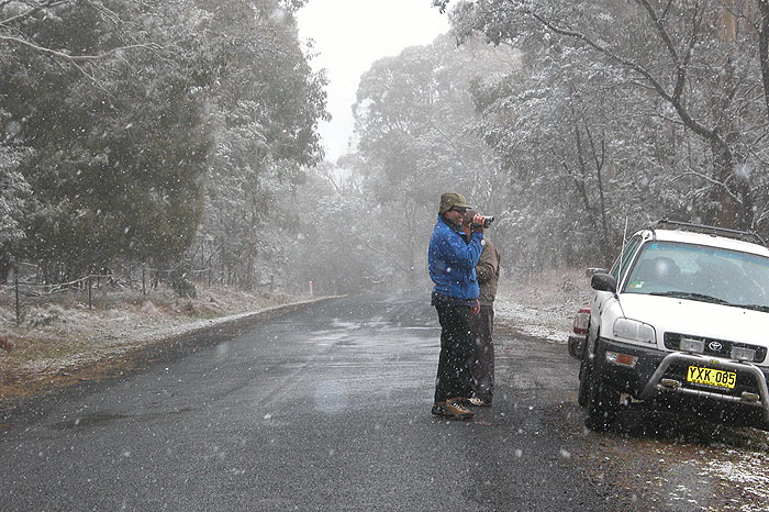
A few shots of the chasers mucking around in the snow:
Post analysis of the weather charts revealed that the 850 temps did not drop quite as low as forecast, and the mid-low level moisture dried out somewhat as it wrapped into the upper low, meaning that orographic lifting did play a part in what snow fell on the Northern Tablelands. The position of the low was also a little further south than forecast and gave the best falls to the Barrington Tops.
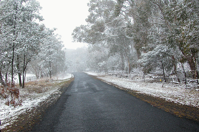
Despite the system failing to produce a really significant cover of snow over widespread areas, we were fortunate to experience the excellent Thursday morning powder snowfalls and accumulations.
From Weatherzone: 3pm local
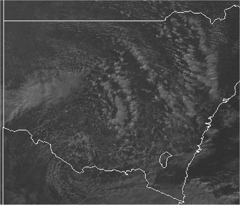
From Weatherzone
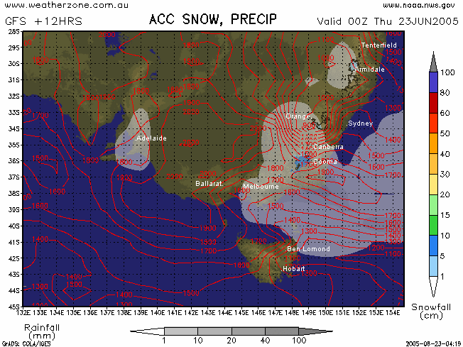
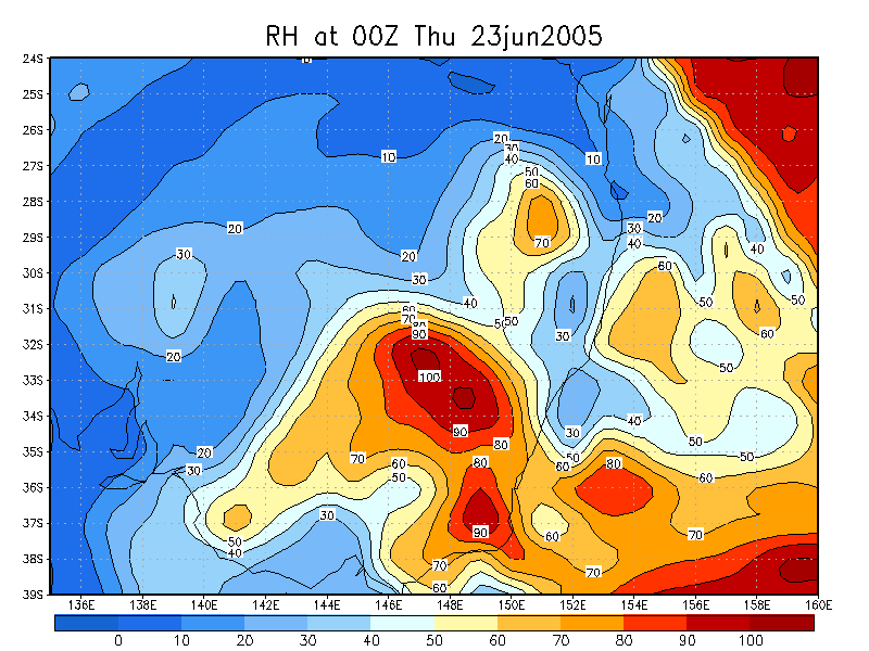
GFS +12 hours snowcast for 23/06/2005 00z:
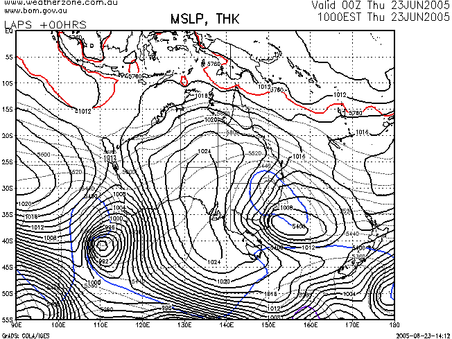
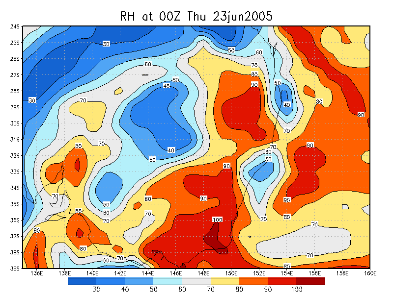
LAPS analysis for 23/06/2005 00z:
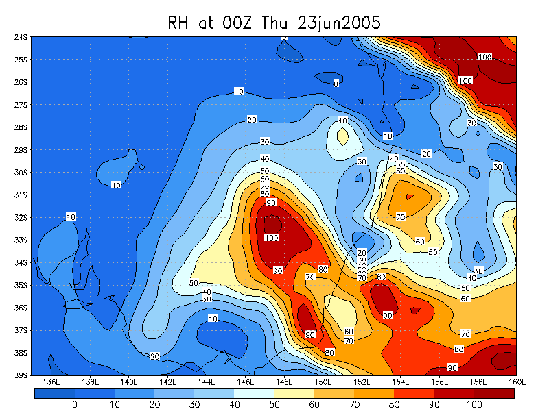
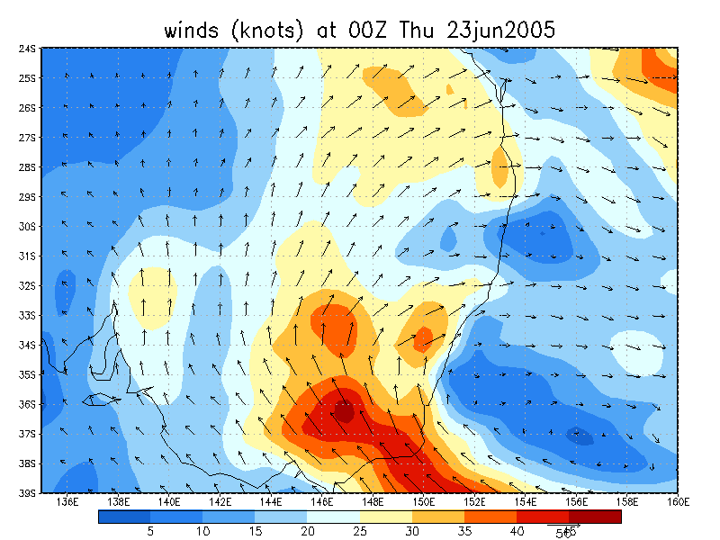
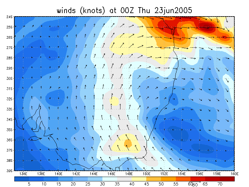
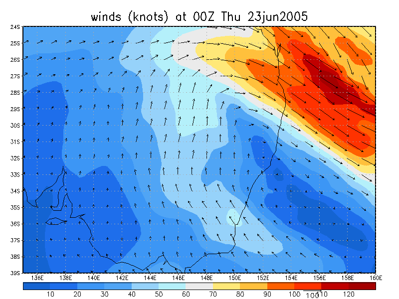
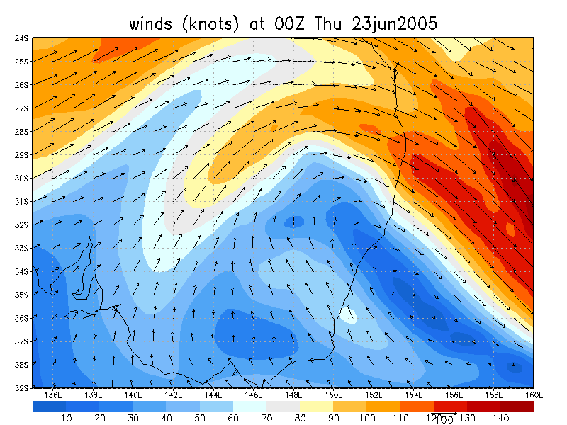
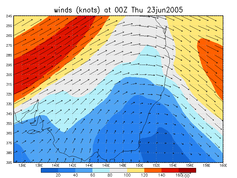
From NOAA 23/06/2005 00z analysis run
|
Document: 200506-02.htm Updated: 28th June, 2005 |
[Australian Severe Weather index] [Copyright Notice] [Email Contacts] [Search This Site] |