and Chasing
[Index][Archives]
Severe Weather Summary: Thursday 8th February 1996
by Bureau of Meteorology and Michael Bath
| Storm News and Chasing [Index][Archives] |
Severe Weather Summary: Thursday 8th February 1996 by Bureau of Meteorology and Michael Bath |
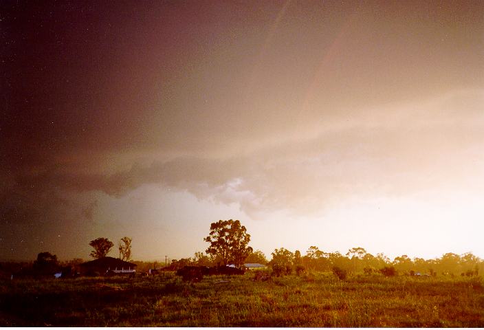
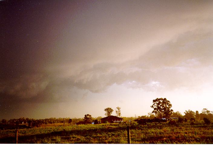
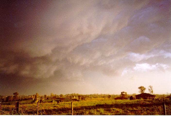
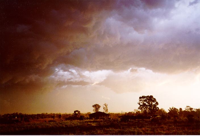
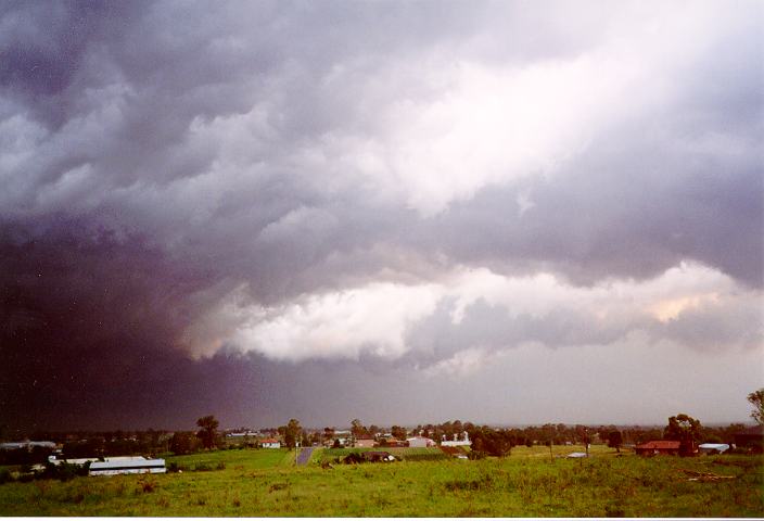
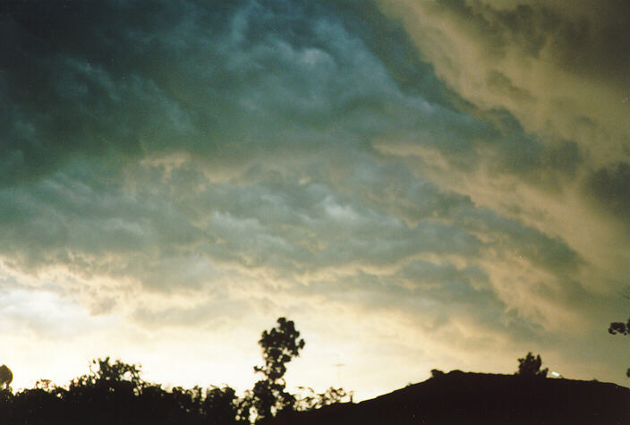
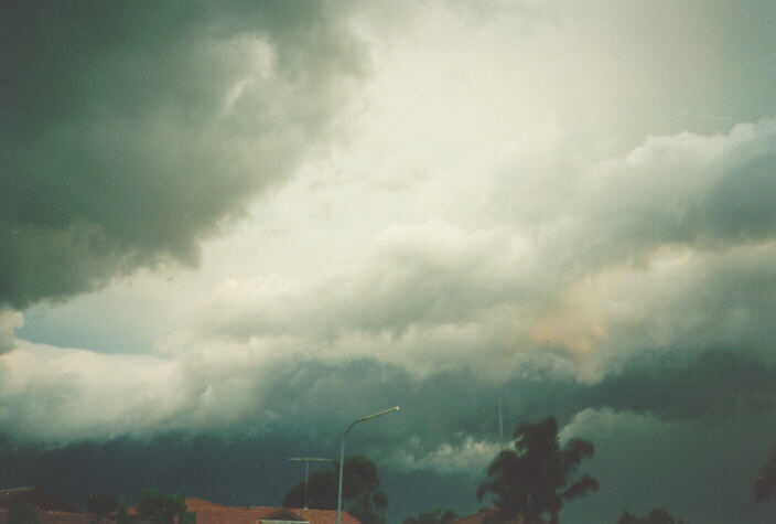
Turbulent skies near Schofields.
An early report from SES indicates that 550 requests for assistance were received. The following areas were worst affected: Dubbo, Bathurst and Campbelltown. At Dubbo 20 people were injured by debris, one seriously, 100 houses were blown off stumps or lost roofs.
The first Severe Thunderstorm Advice issued at 3.05pm was valid until 9pm and it covered the following districts: Central West Slopes, Central West Plains northeast of Condobolin and Upper Western west of Tibooburra/Cobar. The second advice was issued at 4.35pm for Central Tablelands and Southern Tablelands northeast of Yass/Braidwood. It was valid until 10pm. The third advice was issued at 5.05pm for Sydney Metropolitan and Illawarra and was valid until 10pm. The last advice was issued for Hunter at 7pm and was valid until 1am.
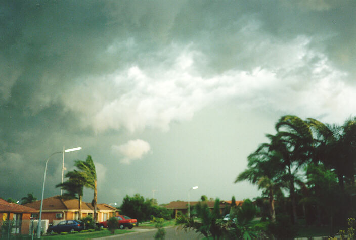
The Severe Thunderstorm Warnings were issued at 5.40pm, 6.50pm and 8.25pm and successively covered the Greater Sydney Area starting from south and southwest and extending northeastward. These warnings were finalised at 8.05pm, 8.30pm and 9.20pm again from south to north.
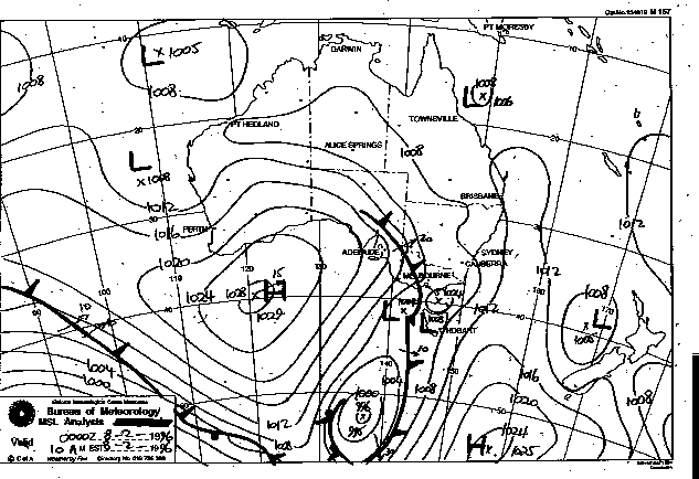
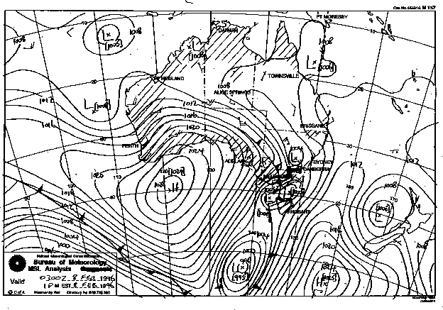
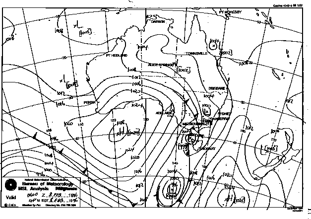
Synoptic Charts provided by the Bureau of Meteorology
|
Document: 9602-04.htm
Updated: 6th April, 2004 |
[Australian Severe Weather index] [Copyright Notice] [Email Contacts] [Search This Site] |