| Date |
Rainfall |
Weather Details |
Photos Reported |
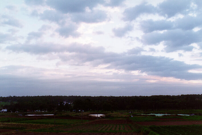
| Monday, 1 March 1999 |
R 0.6 |
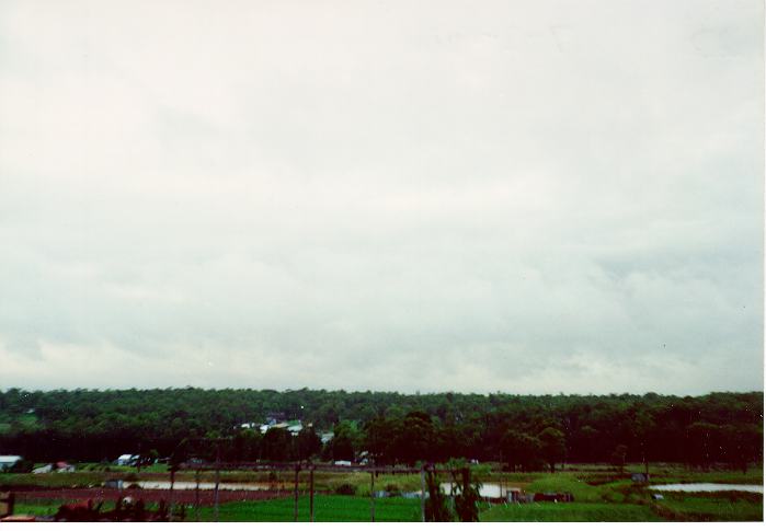
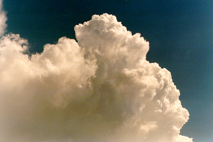
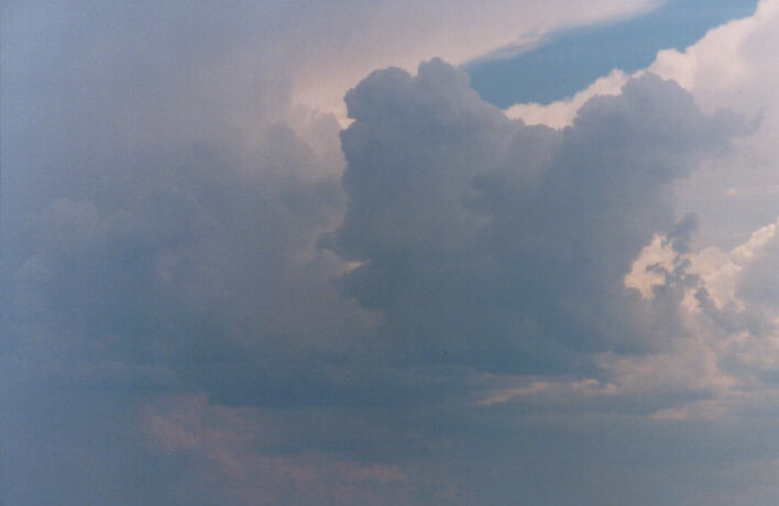
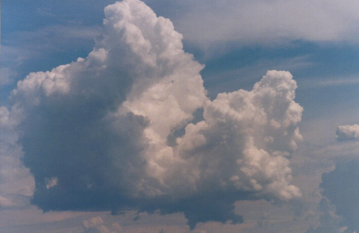
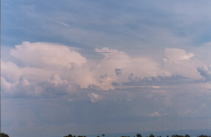
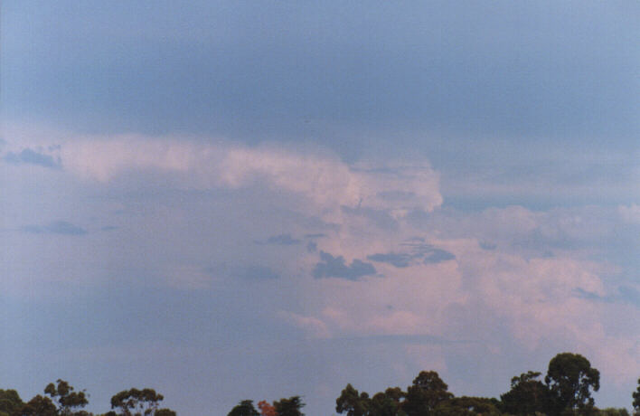
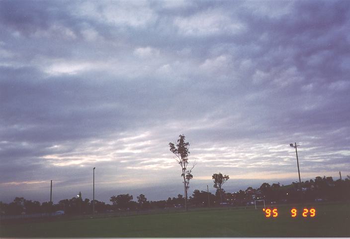
Cloud
widespread with some showers or rain. Stratus below nimbostratus overcast
cover.\\\ Intermittent rain periods during the day but light and easing to
showers later. Calm humid conditions.
|
(Report CL7,
photo).
|
| Tuesday, 2 March 1999 |
5.6 |
Some early
showers. Stratocumulus cover\\\ Humid day with overcast conditions and some
moisture haze. Some shower areas later.
|
(Report
photo).
|
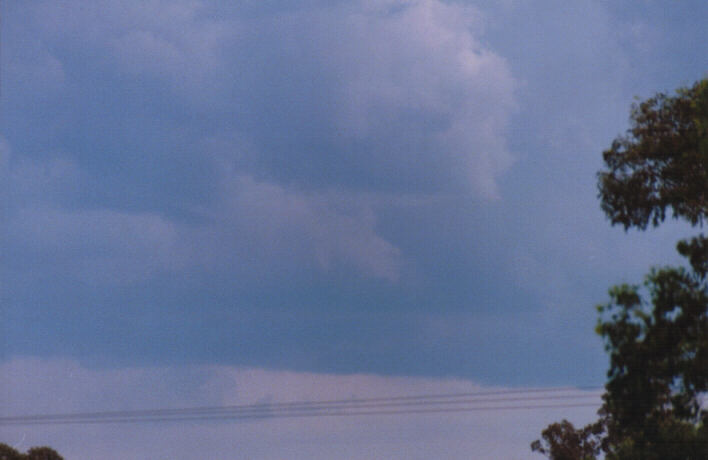
| Wednesday, 3 March 1999 |
R 0.6 |
Early fog
clearing.\\\ Altocumulus and altostratus beginning to break. Cloud band
cleared to the NE with large cumulus patches developing. Some developed into
thundery showers or storms mainly to the far N and S. Some unusual bases and
scud below the cumulus. Sultry. Light winds with light NE breezes later. Some
cirrus to the far W later.
|
(Report
photo, photo 5:53pm of storm to the N). |
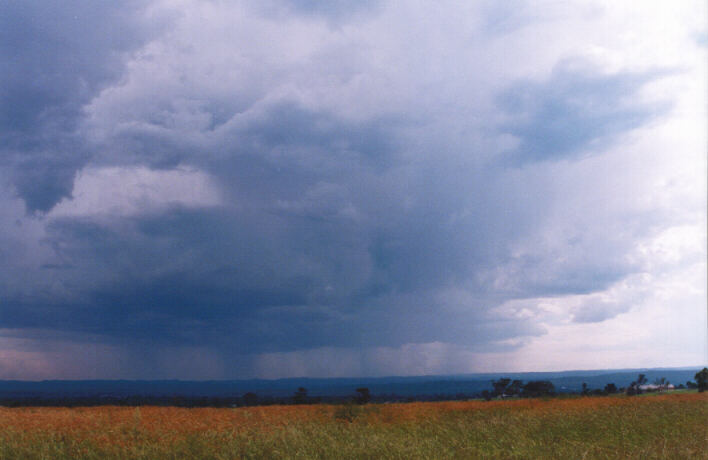
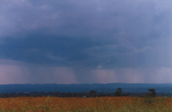
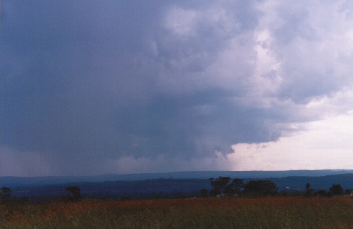
| Thursday, 4 March 1999 |
0.0 |
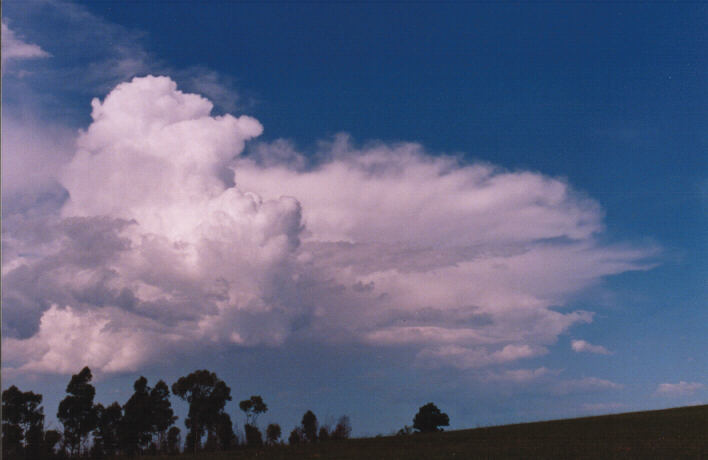
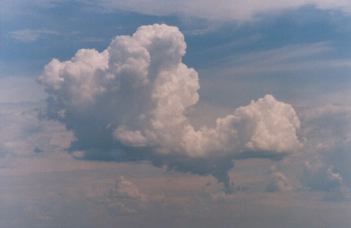
Castellanus
globules early to the E and also NW.\\\ Cumulus developed to the W and S with
more cells to the N-NW. One cell approached Bidwill and Oakhurst with a brief
heavy shower large drops. This moved E towards the N Suburbs. More severe
storms to the N and NW around the Hunter to Lithgow region etc moving E-NE.
Lightning well off the coast during the late night period. |
(Report
photo, photo, photo, CL9 later early photo 3:14pm). |
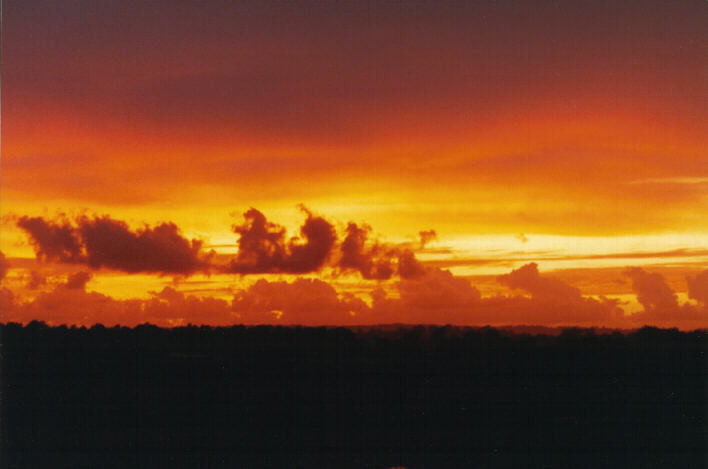
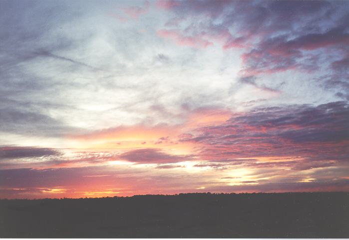
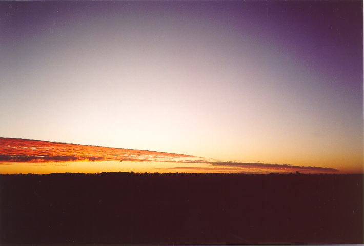
| Friday, 5 March 1999 |
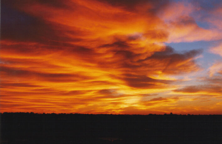
TR |
Early
altostratus.\\\ Mostly fine day with cirrostratus areas around. Very warm
day.
|
(Report
photo to E 6:40am sunrise).
|
| Saturday, 6 March 1999 |
0.0 |
Mild night.
Mostly clear morning.\\\ Soft cumulus patches developed during the morning
but dissipated quickly. Cumulus developed near and over the mtns. |
(Report CL2
soft, ).
|
| Sunday, 7 March 1999 |
TRR |
Early rain
periods as cloud band developed. Early fog cleared.\\\ Storm chase in Hunter
so observed cloud band gradually approaching. |
(Report
photo, photo).
|
| Monday, 8 March 1999 |
5.0 |
Stratocumulus
cover.\\\ Some showers around but mainly on the mtns later. |
(Report
photo, like photo).
|
| Tuesday, 9 March 1999 |
R 0.4 |
Overnight
shower. Areas of stratocumulus with breaks.\\\ Cloud gradually decreased with
more sunny breaks and light - mod E winds. Stratocumulus and light showers
redeveloping during the evening.
|
(Report
photo, photo).
|
| Wednesday, 10 March 1999 |
0.0 |
Early
stratocumulus early.\\\ Most cloud decreased and cleared. Light cirrus bands
developed later.
|
(Report like
photo, later h4, h6).
|
| Thursday, 11 March 1999 |
0.0 |
Stratocumulus
widespread. Light showers around.\\\ Showers isolated during the day and
persisted.
|
(Report
photo, photo).
|
| Friday, 12 March 1999 |
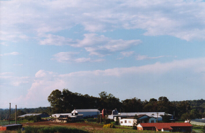
0.0 |
Stratocumulus
off along the coast. Cirrus areas as well as altocumulus castellanus patches
developing.\\\ Mostly fine but large cumulus quickly developed into
thunderstorms to the south. This system propagated due W but generally NE. |
(Report CM8
early from the W, photo, photo Rivo 6:23pm, photo 6:32,
photo 6:37, photo 6:39, photo 6:40, photo 6:41,
photo 6:45).
|
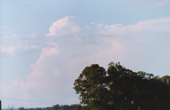
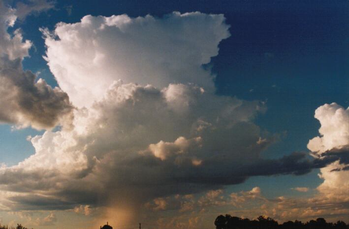
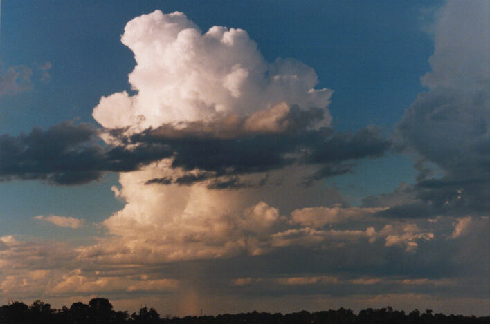
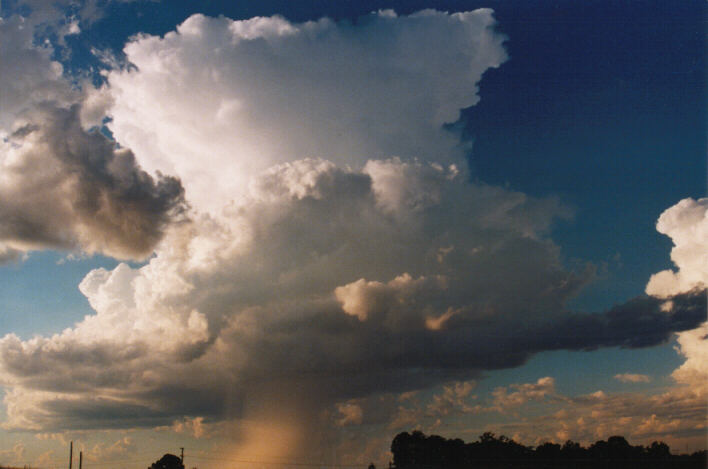
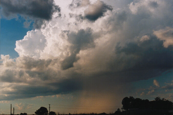
| Saturday, 13 March 1999 |
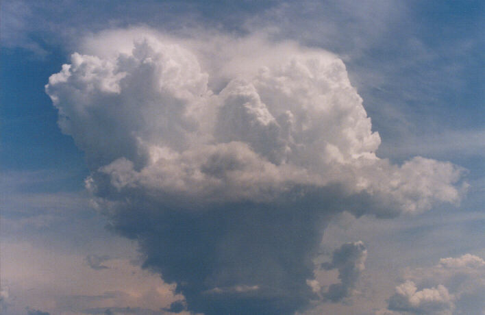
0.0 |
Altocumulus
castellanus to the SE and cirrus towards the far SW to S.\\\ Altocumulus
castellaus developed into a weak storm and rain band system which moved off
the coast to the SE. More castellanus became evident to the S-SW by
mid-norning. Around late morning to midday, large towers developed to the W
and NW. These quickly developed into thunderstorm activity over the areas to
the NW. Some heavy rain developed but this system slowly moved towards the
NE. More large cumulus developed in the Hunter. Major development occurred
simultaneously towards the SW-S region. Some cumulus developed and dissipated
just to our W. Some more pronounced cells developed to our W and we headed
towards the Luddenham area. We observed a funnel around 2:44pm photographed
from Badgerys Creek but only brief. The storms arranged into a nice structure
with light green tinge over the mtns. S of Katoomba. Hail and some wind
squalls in these areas and some impressive lightning bolts. A nice base
developed on the rear end of the storm with heavy precipitation behind and
ahead of the lowering. As we headed towards Castlereagh and then Richmond,
this weakened. More cells developed on the mtns near this. More severe
activity observed to the north and south of Sydney as well as the main line of
altostratus anvils developed towards the W and SW. These approached later
with some lightning but weakened into rain areas. Lightning was more
impressive in the Hunter region although that system weakened later.
Lightning observed to the SE first from the distant activity from the Nowra
storms and then from some activity drifting from the SW and W over the Sydney
area. Some rain areas clearing by midnight. |
(Report
photo photo Schofields 8:21am, photo, photo 11:59am,
photo Rooty Hill 12:34pm, photo 12:50pm, photo, photo,
photo 12:55pm, photo 12:57pm, photo 1:07pm, photo 1:38pm,
photo Badgerys Creek funnel cloud 2:44pm, photo Luddenham 2:52pm,
photo 2:54pm, photo 3:05pm, photo, photo 3:15pm). |
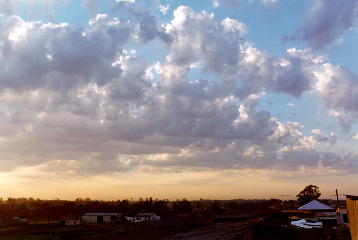
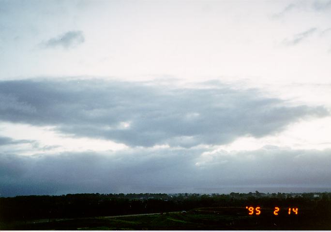
| Sunday, 14 March 1999 |
2.2 |
Altocumulus
castellanus widespread but shallow. Thick cirrus area to the N.\\\ Cumulus
developed on the mtns and larger cumulus developed during the early
afternoon. Some developed into isolated brief heavy showers and dissipated.
SE change hit 5:40pm. Some cumulus still developed with some heavy shower or
rain and even lightning observed mainly to the N. Large cumulonimbus to the
NE-NW.
|
(Report
photo, photo, photo 2:48pm, photo photo 3:06pm,
photo 3:08pm, photo 3:11pm, photo 3:53pm, photo,
photo 5:44pm, photo 6:11pm, photo, photo, photo
6:23pm, photo 6:27pm, photo 6:40pm, photo, photo 7:15pm). |
| Monday, 15 March 1999 |
0.0 |
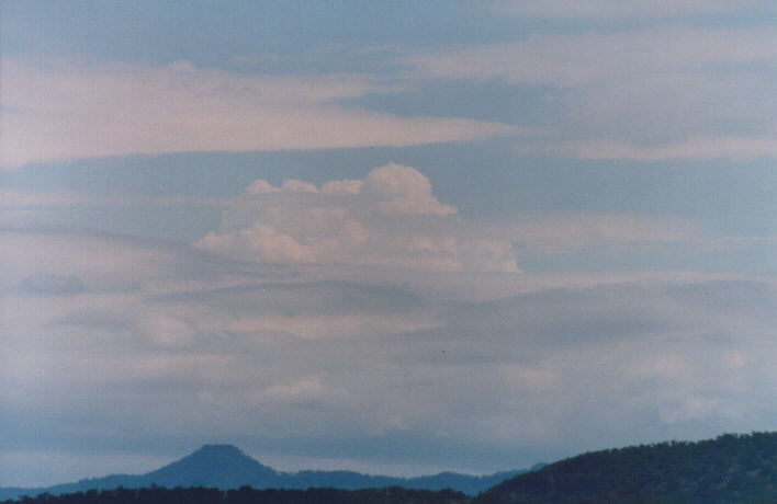
Altocumulus
castellanus to the far N early. Large cumulonimbus off the coast. Cirrus to
the W.\\\ Cirrus increased thick in patches with a band developing and
clearing later. Thunderstorms developed quickly to the far N-NNE near
Newcastle and beyond. Some major towers. SE change developed later.
Stratocumulus developed later from the W.
|
(Report
photo early with photo to the N, photo, photo, photo
5:00pm, photo 5:14pm, photo later). |
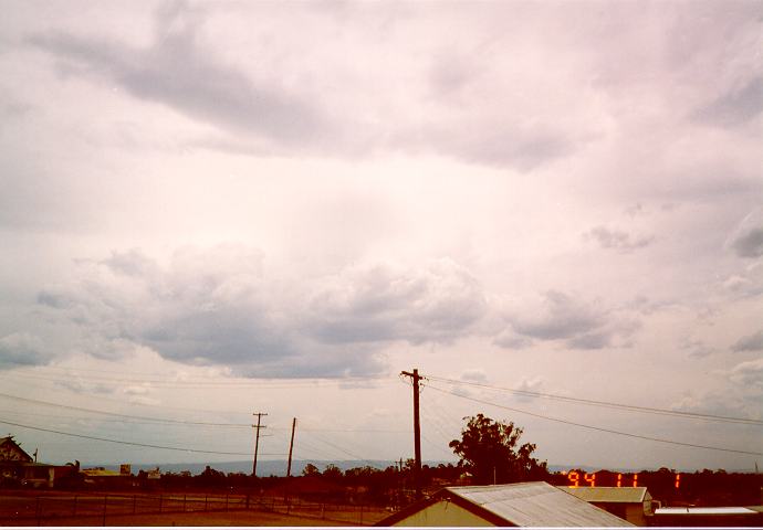
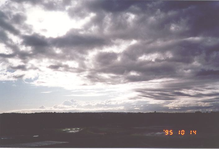
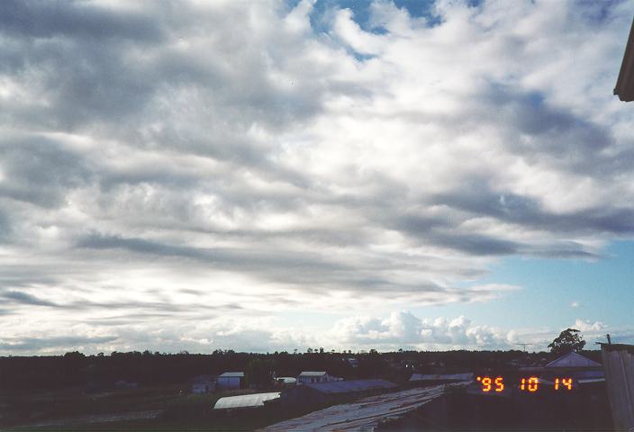
| Tuesday, 16 March 1999 |
0.0 |
Altostratus
and cirrus early with stratocumulus and cumulus patches around.\\\ Cloud
generally persisted. Sultry. Stratocumulus increased slightly later.
Altocumulus areas observed later.
|
(Report
photo, photo, photo, photo). |
| Wednesday, 17 March 1999 |
0.0 |
Mostly clear
apart from altocumulus to the N. Stratocumulus patches mainly on the mtns.\\\
Cumulus developed during the day with some cirrus developing from the W.
Humid NE breezes. Cumulus patches cleared. Larger cumulus off the coast. |
(Report 915,
photo, photo, photo, photo, photo, photo). |
| Thursday, 18 March 1999 |
0.0 |
Cirrus and
cirrostratus area widespread. Large cumulus along and off the coast with
anvils facing N-NW. Very weak activity.\\\ Cumulus developed during the day
with higher cloud persisting and altocumulus developing. Later, large cumulus
developed with humid E winds. Cirrus developed from the W. |
(Report like
photo early with cumulus photo, photo, photo, like
photo hidden amongst photo).
|
| Friday, 19 March 1999 |
TR |
Early cirrus
and altostratus with cumulus along the coast.\\\ Generally cloud persisted
with altocumulus around. Cloud then increased with a dark region developing
to the SE of Bidwill heading SSW. Some heavy rain observed in it. Cloud
persisted during the night.
|
(Report
photo, photo 6:50am).
|
| Saturday, 20 March 1999 |
1.4 |
Overnight
light rain. Altocumulus cover with altostratus and stratus briefly.\\\ Large
cumulus observed through the altocumulus breaks. Thundery activity developed
mainly to the W near Schofields and moved SSW. Some heavy rain even lightning
observed. Some rain approached rapidly from the N and cleared an hour or so
later.
|
(Report CM7,
CM9).
|
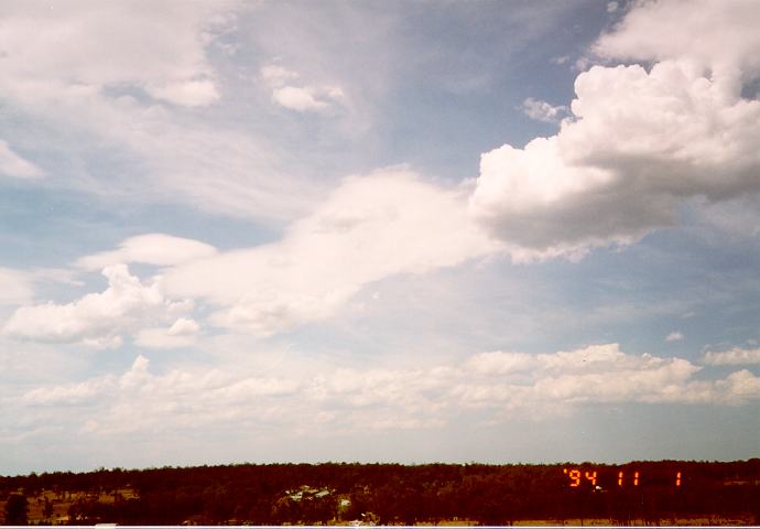
| Sunday, 21 March 1999 |
2.0 |
Early thick
fog dcereasing and then clearing later in the morning.\\\ Cumulus developed
on the mtns with cirrus. Cirrus gradually increased although it remained
fine, mostly sunny and warm. Cirrostratus and then altostratus increased
later.
|
(Report photo,
photo).
|
| Monday, 22 March 1999 |
0.0 |
Altostratus
early increasing.\\\ Some showers or light rain around midday to early
afternoon. Showers cleared later with a clearing developing to the far SW
later. S-SE change developed during the late afternoon with stratus and
localised larger cumulus moving or propagating NE. |
(Report
photo, photo early, M2, photo 6:58pm sunset reflections,
photo 7:20pm sunset).
|
| Tuesday, 23 March 1999 |
1.2 |
Early
stratocumulus patches around.\\\ This persisted with cool SE winds. Cumulus
patches later mainly to the NE and towards the coast. |
(Report
photo, later CL4).
|
| Wednesday, 24 March 1999 |
R 0.4 |
Light
cirrostratus or cirrus developing from the W. Broken stratocumulus areas
early from the E.\\\ Stratocumulus or cumulus patches during the day. Warm. |
(Report
photo, CL4).
|
| Thursday, 25 March 1999 |
0.0 |
Early
atocumulus to the E with patches around.\\\ Altocumulus and cirrus increased
during the day with light winds. Warm.
|
(Report
photo, photo, photo).
|
| Friday, 26 March 1999 |
0.0 |
Thin layer of
altocumulus to the far E.\\\ Altocumulus and cirrus to the far SW developing.
This became widespread in patches. Very warm - hot day. Some localised
showers or rain areas. Sultry and warm night. Brief weak SE change during the
night.
|
(Report
photo, photo, H2M5).
|
| Saturday, 27 March 1999 |
R 0.2 |
Altocumulus
from the W above stratocumulus areas from the E.\\\ Altocumulus and cloud
bland with thick cumuliform tops developing hidden amongst patches of
stratocumulus. Humid. Brief light rain around 1pm. Large cumulus developed
later with some storms developing by evening. Around midnight some intensive
electrical activity. Rain developing overhead and moving SE. Some heavier
falls towards the coast.
|
(Report like
photo, photo and photo with CM3 above, ). |
| Sunday, 28 March 1999 |
2.6 |
Stratocumulus
from the W-NW with scuds indicating wind change from the S-SW. Some
cirrocumulus patches to the SW-S barely visible.\\\ Cloud band moved NE with
stratocumulus clear. Cumulus and fractus cloud. S winds increased during the
evening becoming cooler. Stratocumulus and larger cumulus began to develop to
the S.
|
(Report
photo, photo, photo early, then photo, photo later). |
| Monday, 29 March 1999 |
0.0 |
Early
stratocumulus and large cumulus along and off the coast.\\\ Cumulus patches
developed during the day. These were scattered and it remained mainly sunny.
Cool day.
|
(Report like
photo, photo, photo, photo, photo later). |
| Tuesday, 30 March 1999 |
0.0 |
Large cumulus
off the coast. Broken stratocumulus around.\\\ Cloud broke to isolated
cumulus which eventually dissipated as the E-SE breezes developed. Cirrus
observed to the N later.
|
(Report like
photo, photo, photo, photo, photo later). |
| Wednesday, 31 March 1999 |
0.0 |
Altocumulus
castellanus at lower levels. Large cumulonimbus off the coast.\\\
Stratocumulus developed during the day and thickened with the SE change.
Darker areas indicating some storms to the N of Sydney and N Suburbs. Drizzle
and showers developed during the night.
|
(Report like
photo and isolated photo, and photo, later L5 with thick
strocumulus and photo).
|