and Chasing
[Index][Archives]
Fast Moving Storms in Northeast NSW: Monday 13th November 2006
by Michael Bath
| Storm News and Chasing [Index][Archives] |
Fast Moving Storms in Northeast NSW: Monday 13th November 2006 by Michael Bath |
Hot and mostly sunny with fresh N-NE winds. Patches of altocumulus with light showers late morning clearing early afternoon.
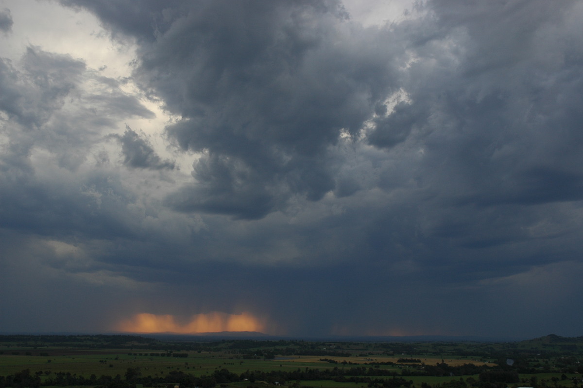
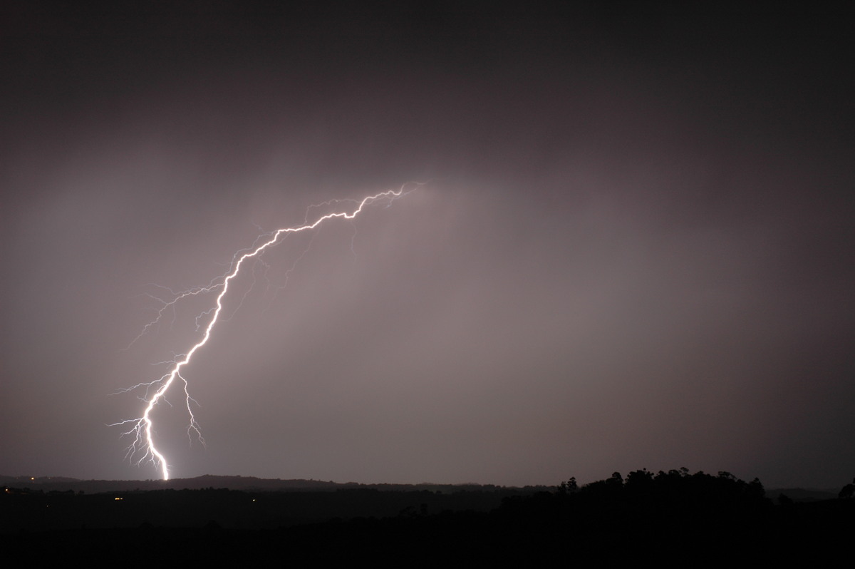
Line of storms from the southwest late afternoon. Chase to Wyrallah where fast moving high based cells were observed moving across the region. Not very lightning active.
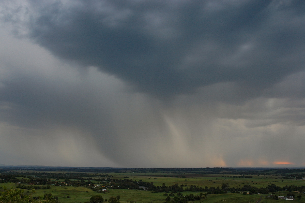
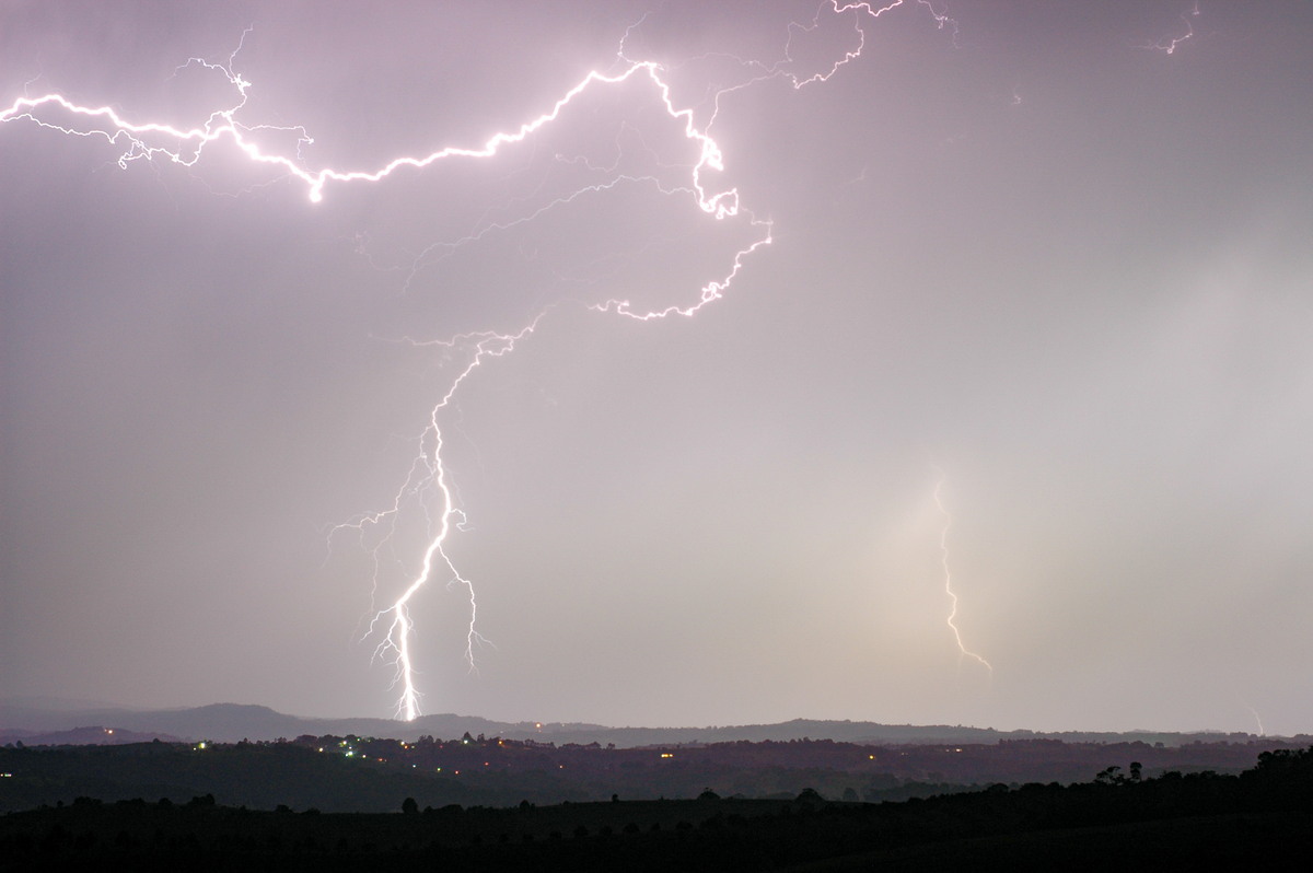
More organised cell from the west after 7.30pm. Quite electrically active with brief heavy rain.
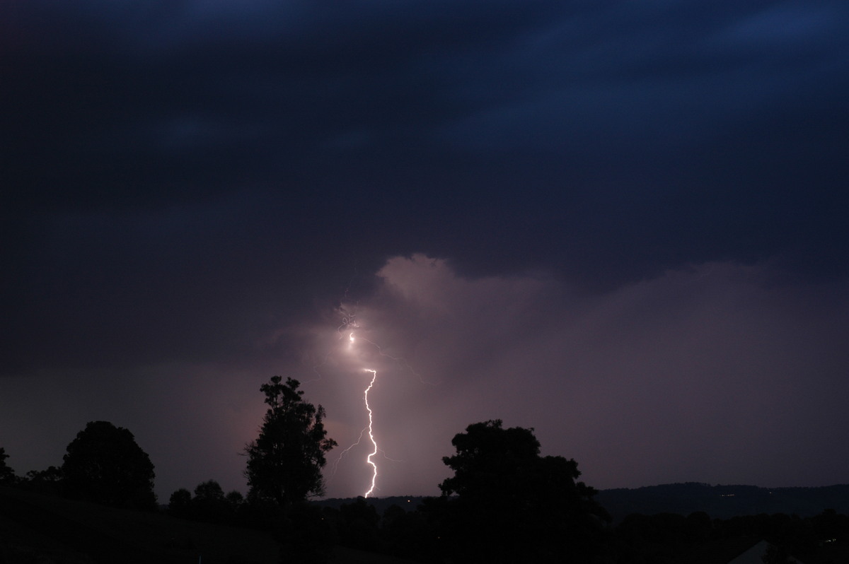
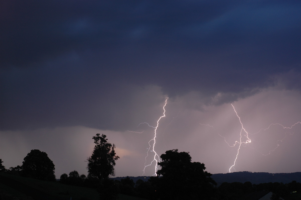
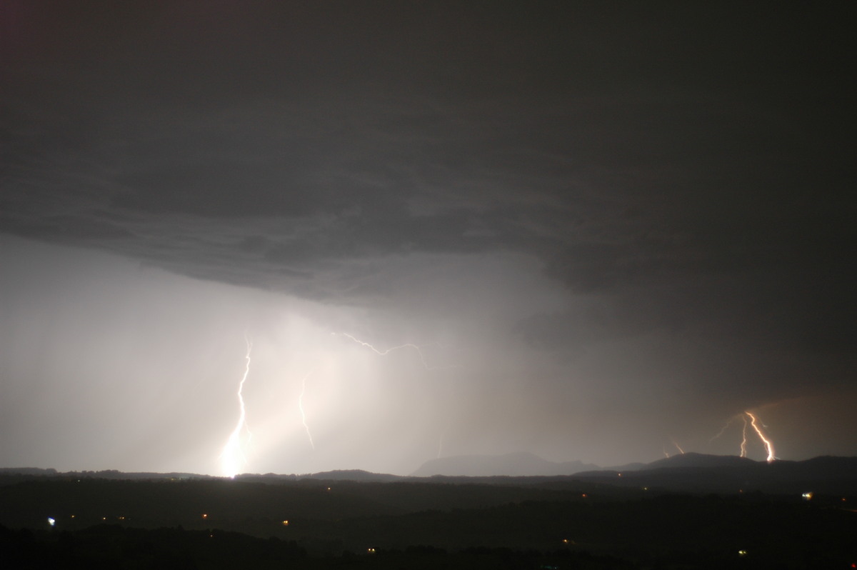
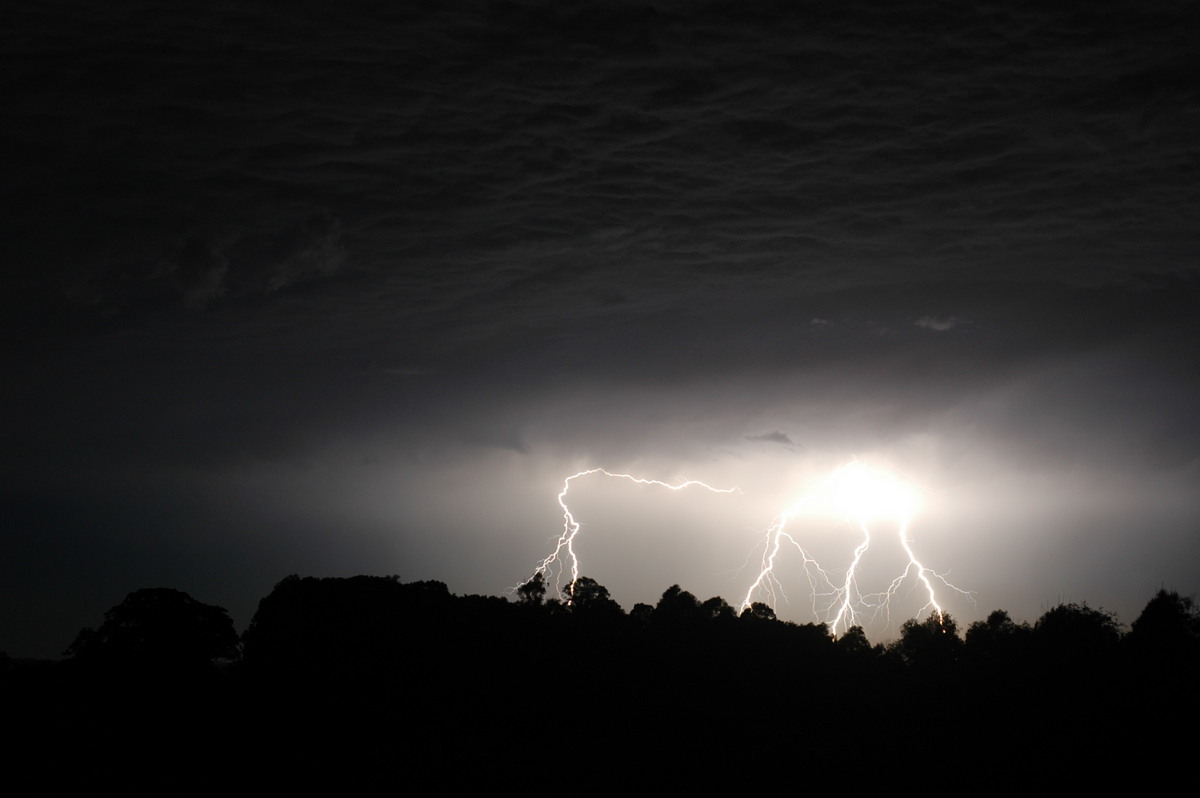
Another very CG active storm from northwest to northeast from about 10pm. It raced across the Nightcap Range and out to sea.
Discussion about this event can be found in the Australian Severe Weather Forum
More weather photos for this event can be found in the Photo Catalog
|
Document: 200611-07.htm Updated: 2nd January 2007 |
[Australian Severe Weather index] [Copyright Notice] [Email Contacts] [Search This Site] |