and Chasing
[Index][Archives]
Ulan Severe Hailstorm: Monday 20th February 2006
Report compiled by Jimmy Deguara and Michael Bath
| Storm News and Chasing [Index][Archives] |
Ulan Severe Hailstorm: Monday 20th February 2006 Report compiled by Jimmy Deguara and Michael Bath |
I pushed myself to do the drive to Mudgee region after work anticipating that action may be west of Gulgong. I got some of the early storms near Mudgee which were severe with downed branches etc from microbursts or outflow. There also was small hail and very heavy rainfall. The storms collapsed when I got there.
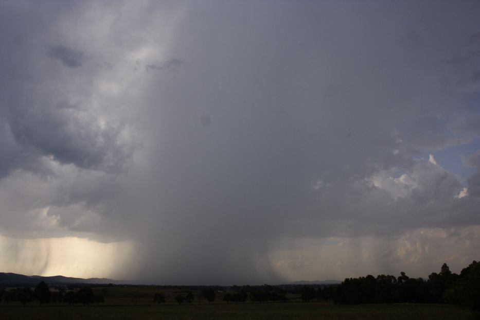
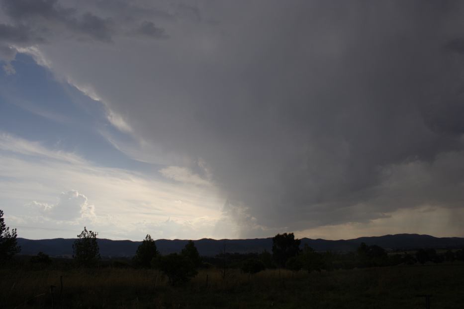
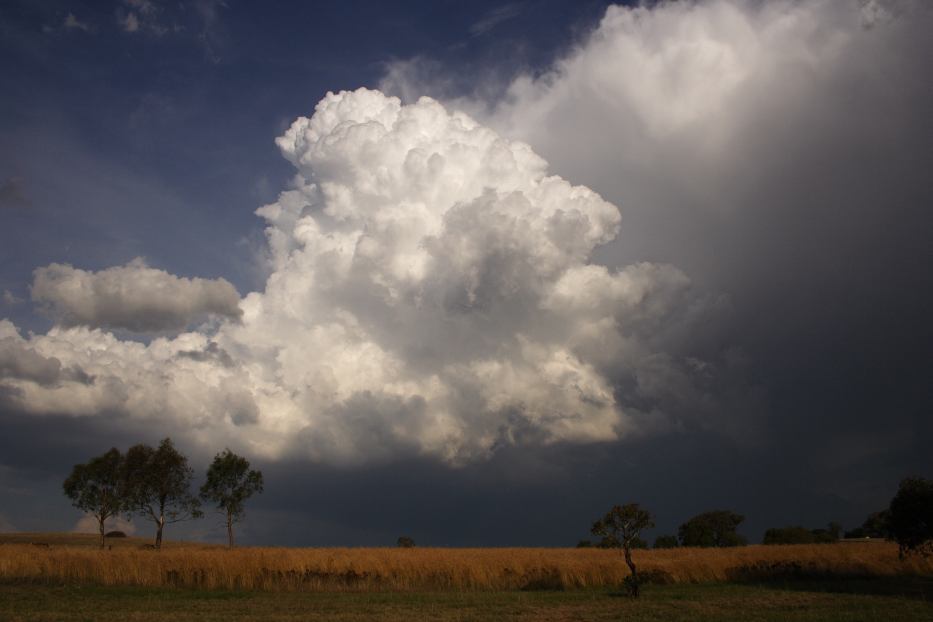
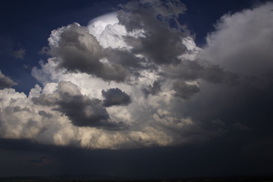
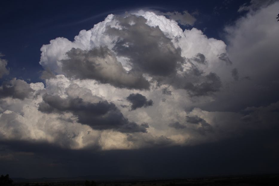
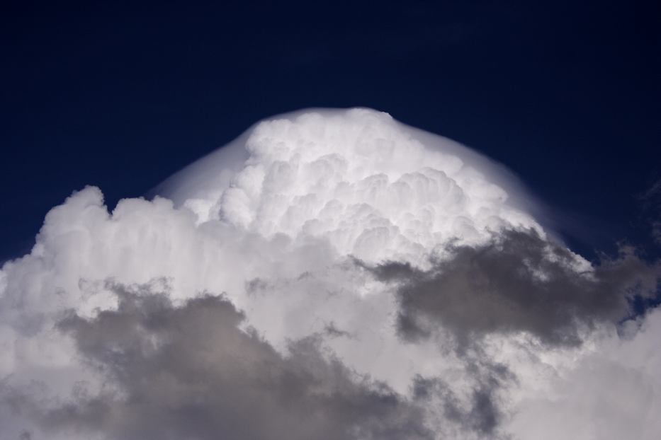
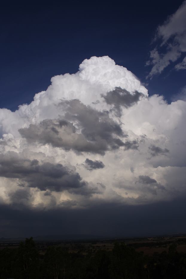
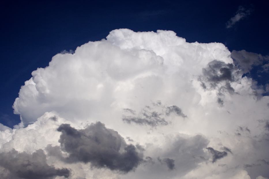
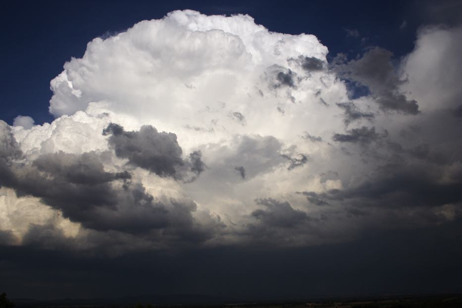
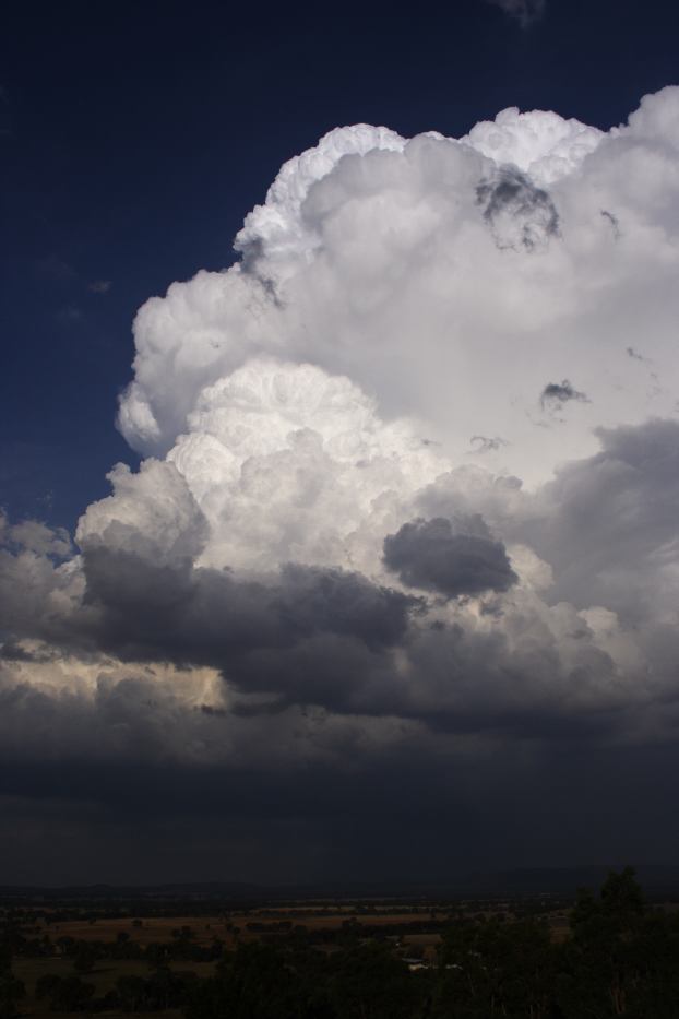
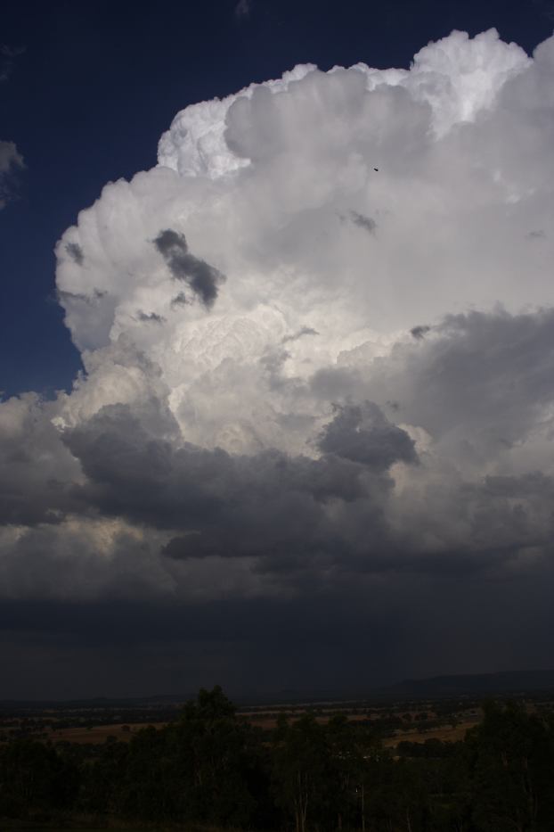
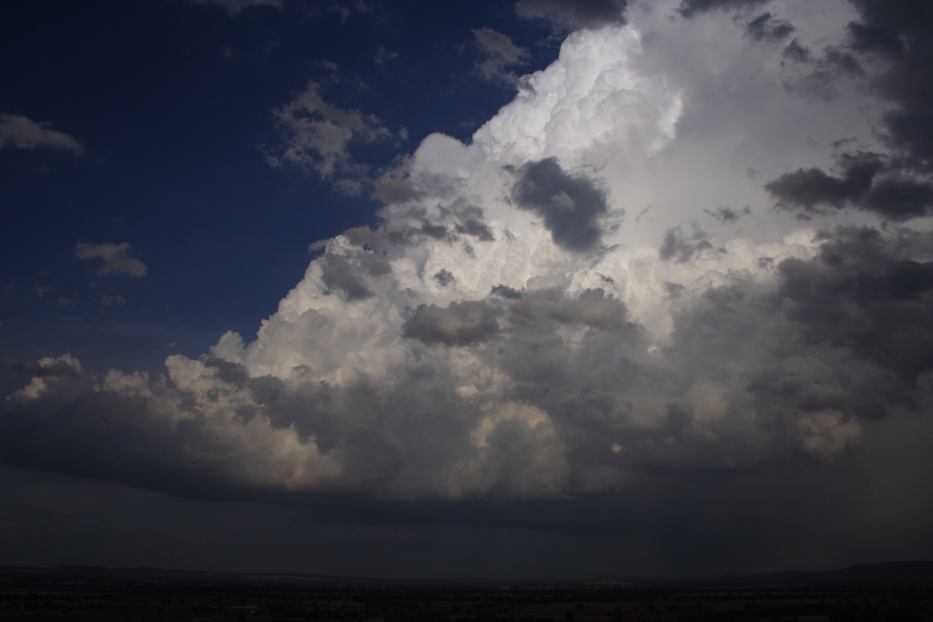
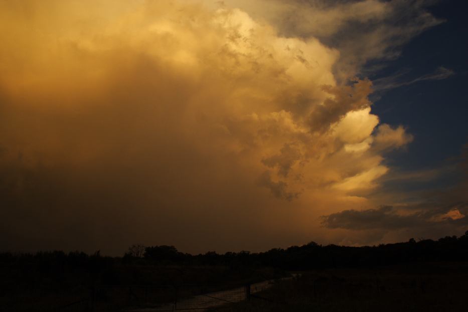
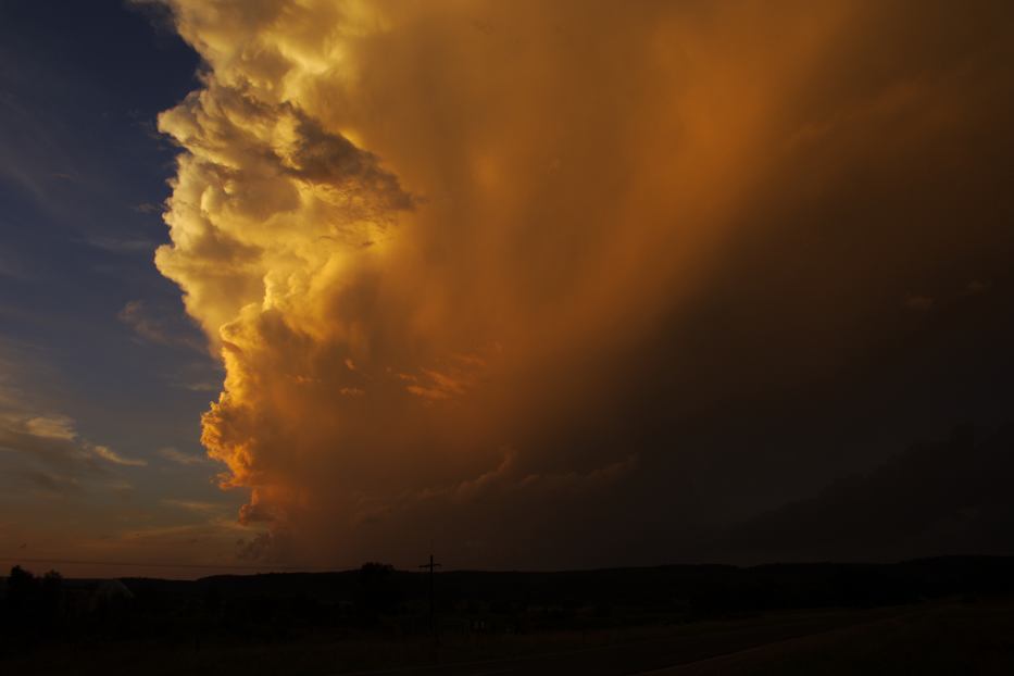
I passed through the storm for little excitement, nicked a large branch passing through heavy rain and tiny hail. That was it! Well there was a large cumulus on the northern side. I took one photograph while it looked photogenic with the sunlight. Gulgong lookout the next stop. This cumulus then literally shot up with a nice pileus, got larger and exploded forming more pileus layers each time! The updrafts were absolutely powerful! After extensive timelapse including bolts out the back part of the base, I decided I wanted in on the action. But I was never able to have a road under the updraft - isolated large hailstones still sitting on the road near Ulan! I knew there should be 5 cm hail with this lot based on the fact that hail usually melts quicker on the road!
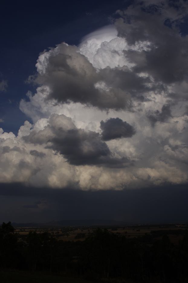
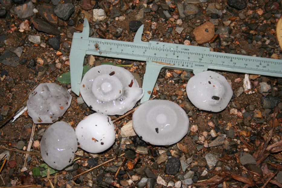
After sitting under a base I decided to let that go and measure the hail. I quickly worked out the hail path since I had not encountered any other hail areas. Low and behold, stripped leaves south of Ulan on the Mudgee road. I searched for larger protected hail and within minutes found a beautiful hailstone with concentric rings! Absolutely awesome! I photographed and measured this one to be precisely 5cm and then searched for larger ones. I found another which is in the photograph and is 5.3cm in diameter in length. Most hailstones were obviously about 3 to 4cm in diameter but it was nice to verify the likely upper limit.
I then headed straight back home. I did not bother about lightning given the storm was weakening rapidly.
From Weatherzone and MODIS: Land Rapid Response System
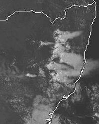
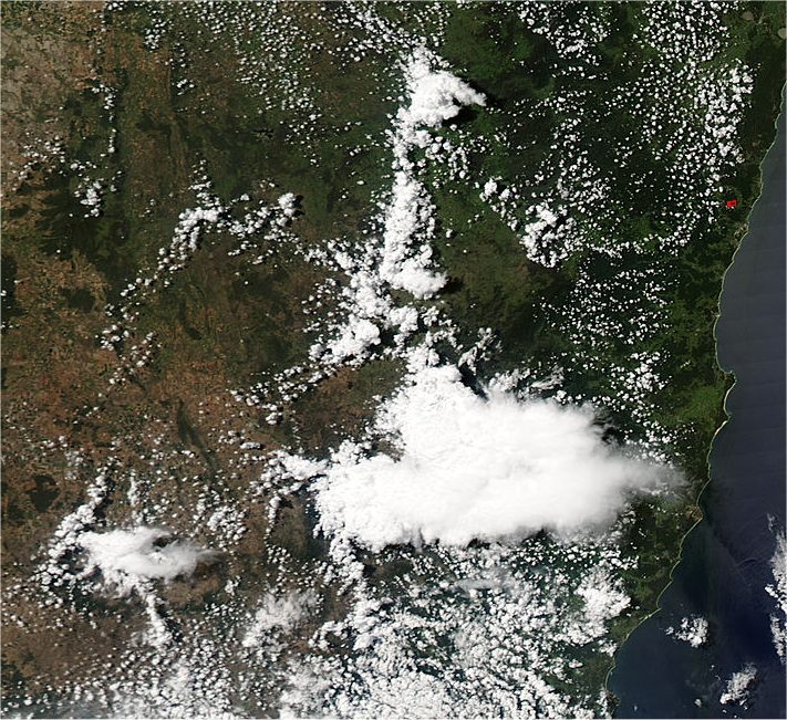 2.25pm local
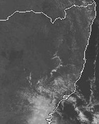
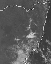
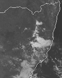
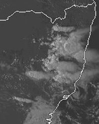
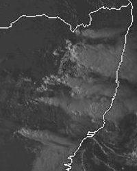
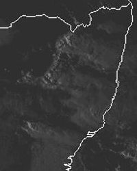 1pm to 7pm local
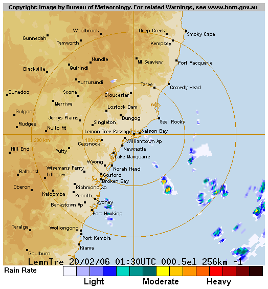
From Bureau of Meteorology
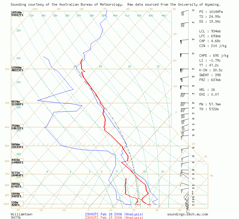
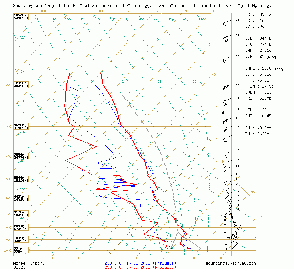 Williamtown and Moree soundings at 10am 20/02 local
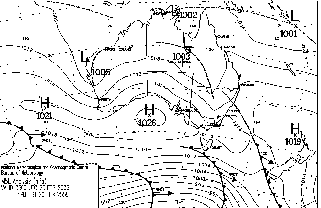
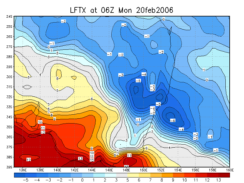
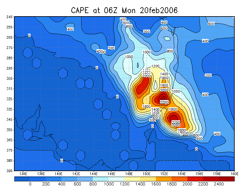
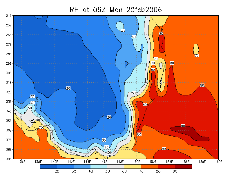
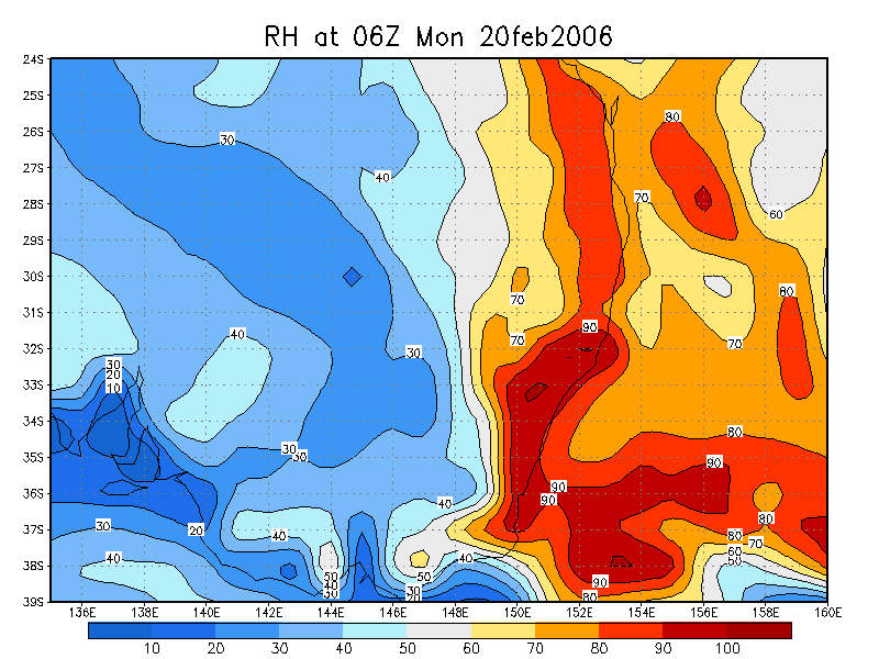
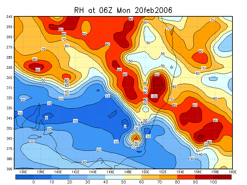
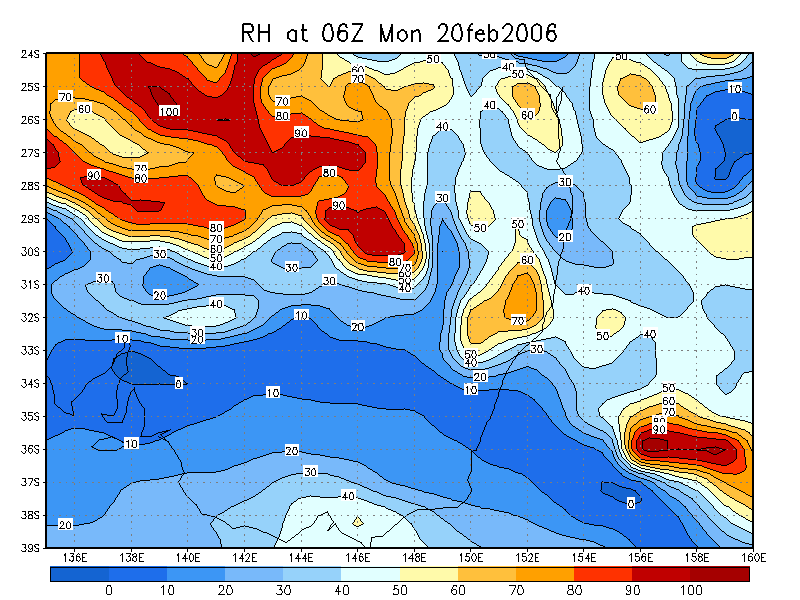
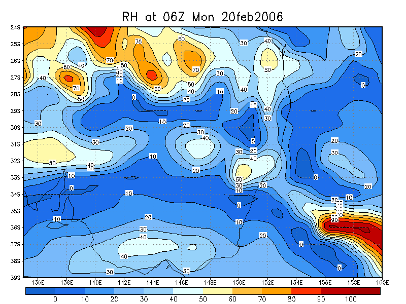
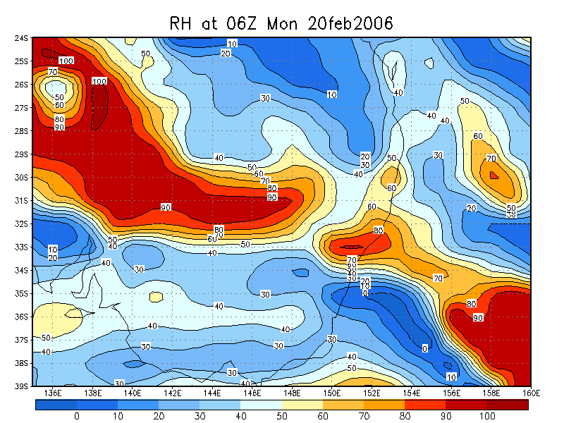
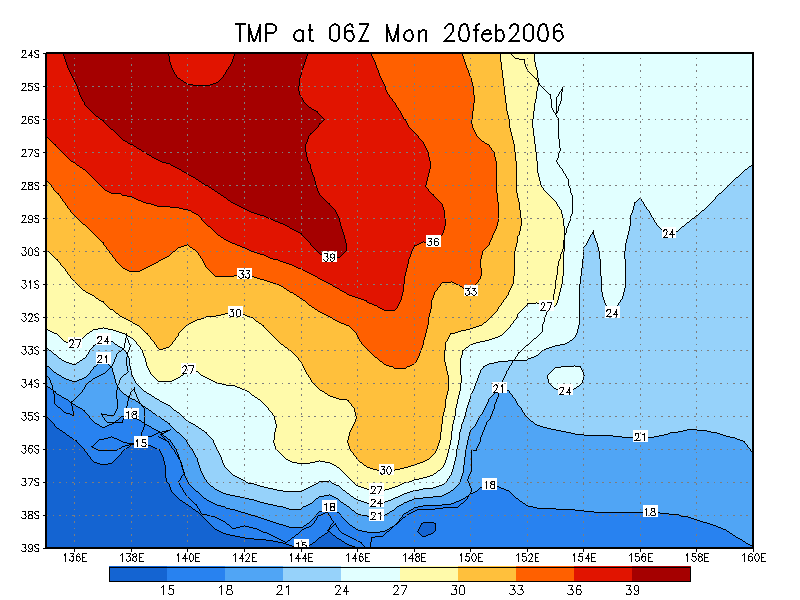
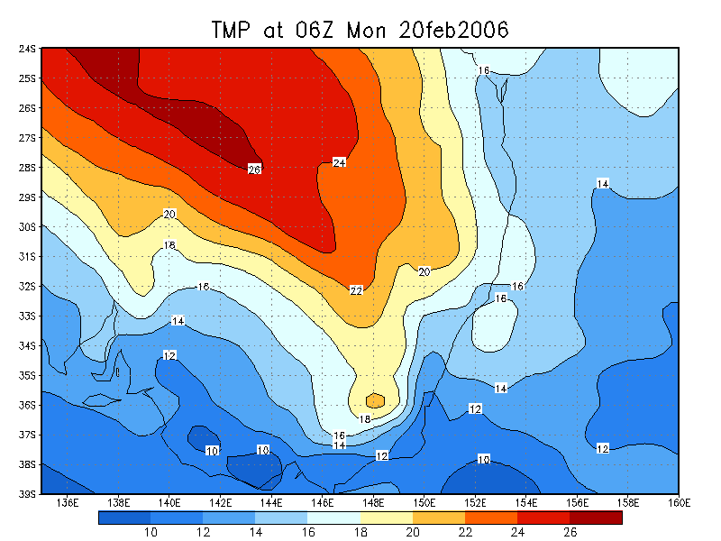
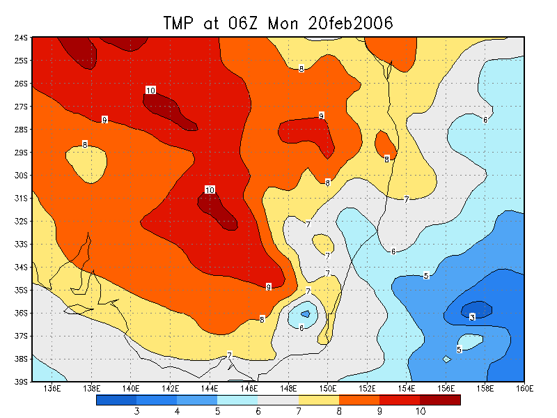
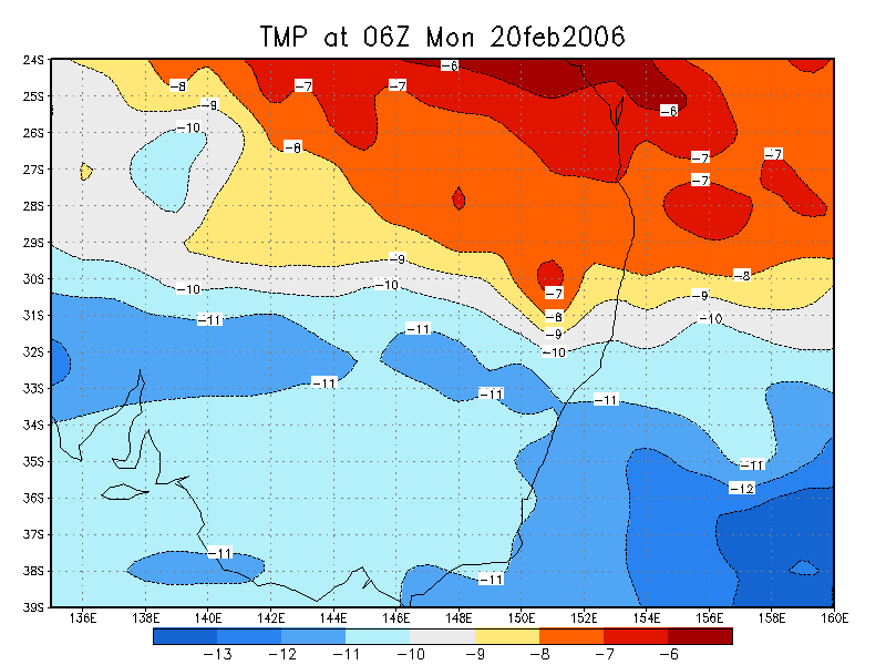
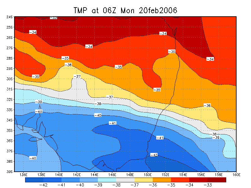
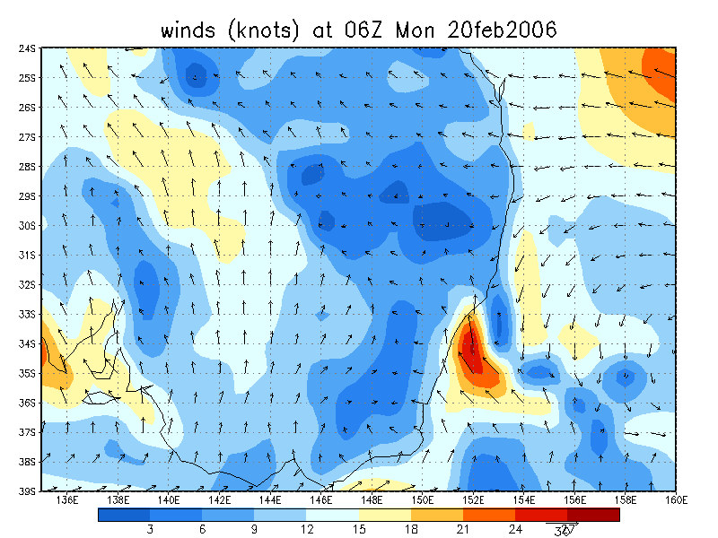
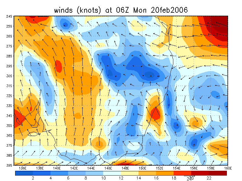
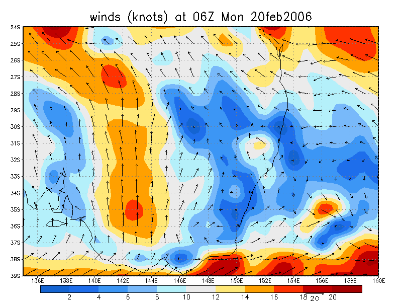
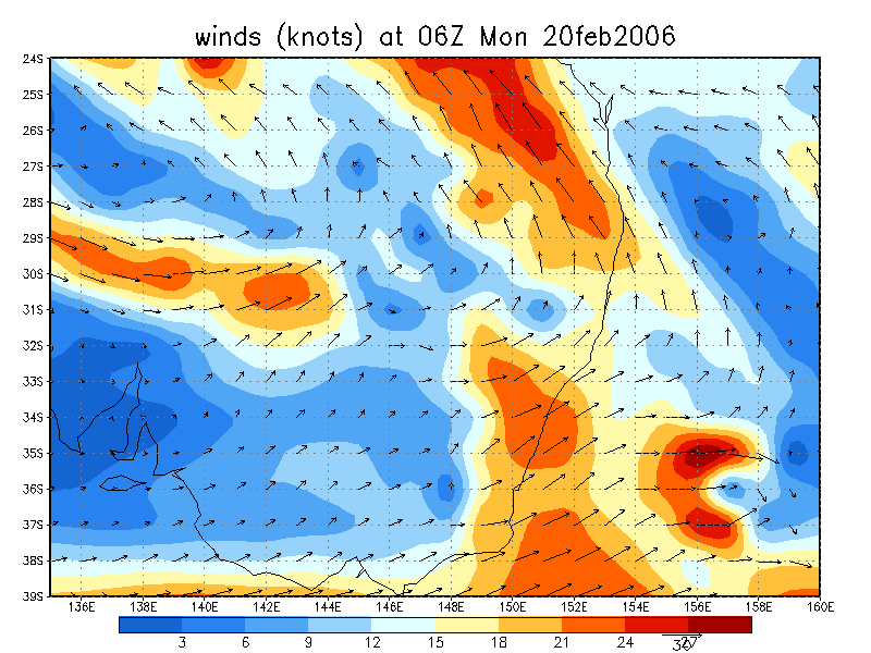
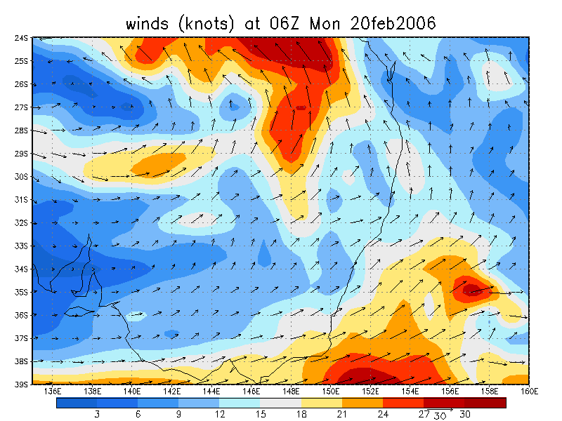
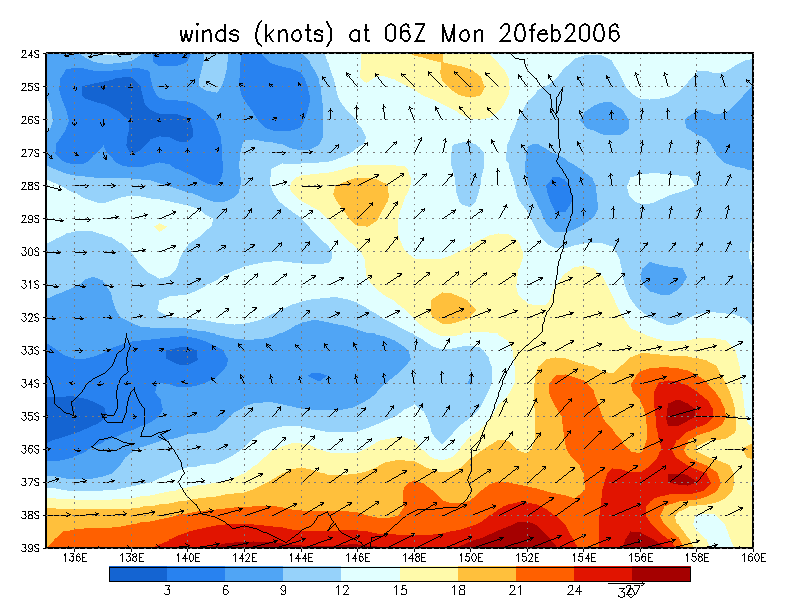
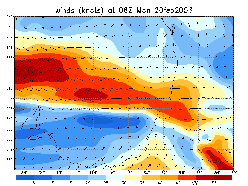
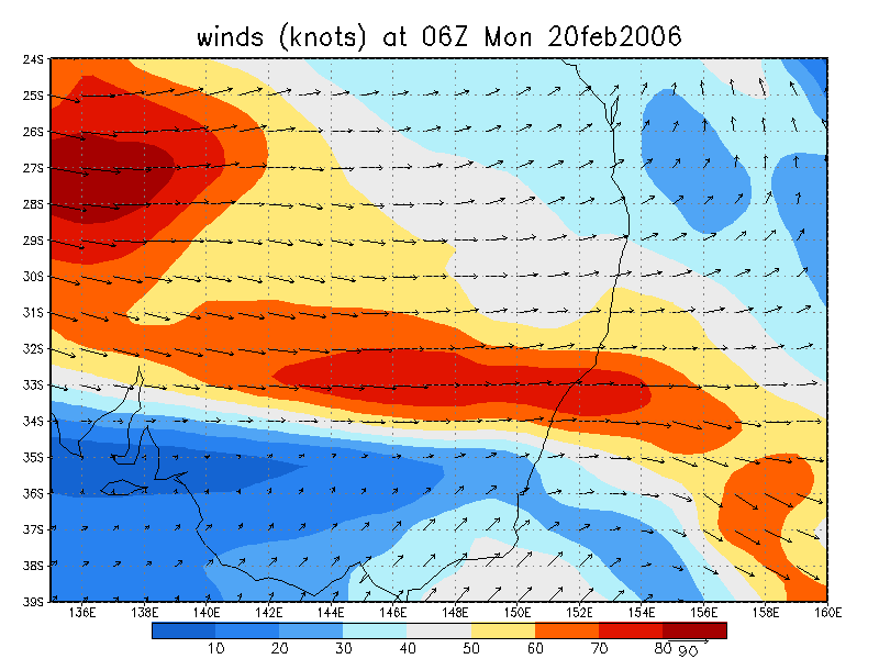
From NOAA 20/02/2006 06z analysis
|
Document: 200602-03.htm Updated: 28th February 2006 |
[Australian Severe Weather index] [Copyright Notice] [Email Contacts] [Search This Site] |