and Chasing
[Index][Archives]
Gustfronts in the Northern Rivers: Thursday 16th October 2003
by Dave Ellem
| Storm News and Chasing [Index][Archives] |
Gustfronts in the Northern Rivers: Thursday 16th October 2003 by Dave Ellem |
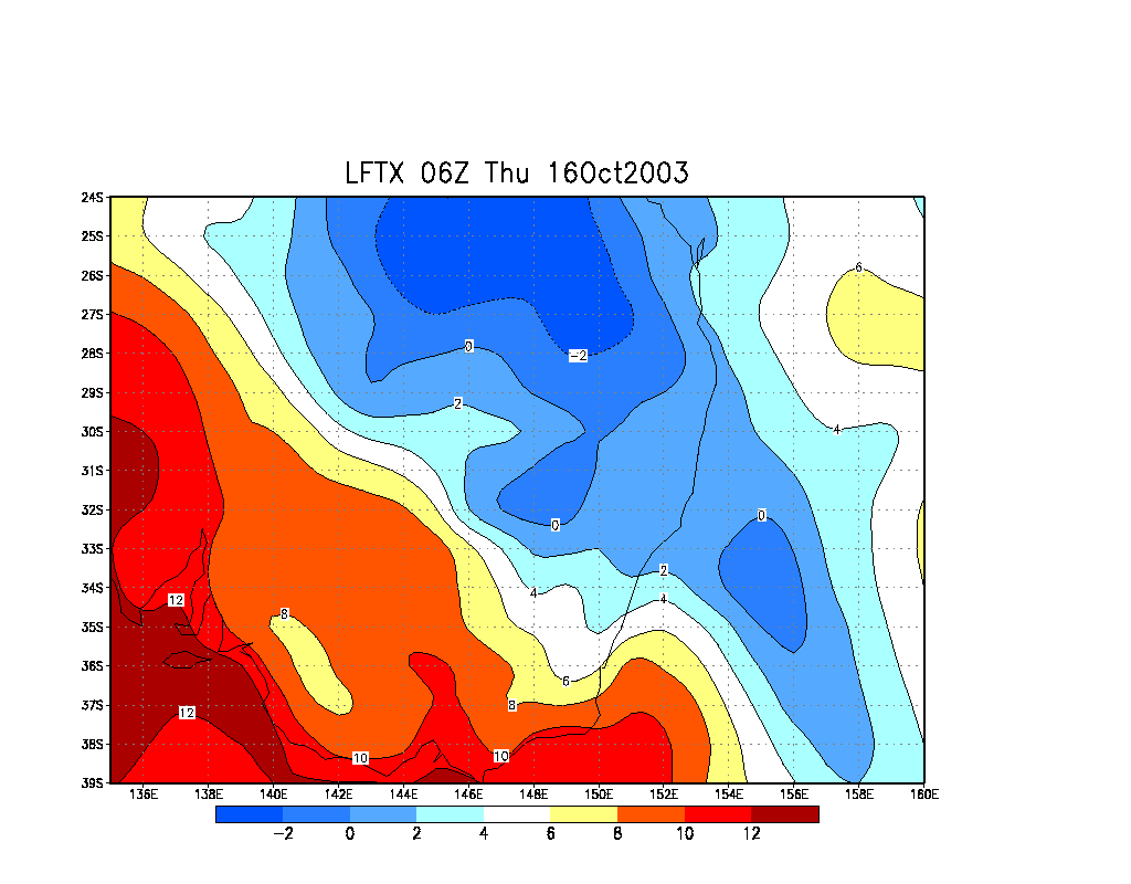
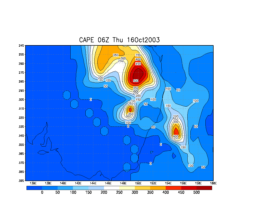
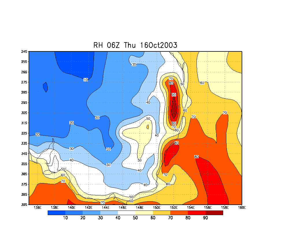
The day was looking pretty marginal when looking at the models. AVN was suggesting 0 to +2 LIs and around 100 Cape for the Northern Rivers, and with lots of moisture and very little wind shear, I wasn't very convinced of anything interesting occuring just going by the models. However, standing outside hanging the washing in the morning, the air just had that feel to it. The sky looked unstable and there was that feeling that the area was going to see afternoon storms. I had hopes of getting a nice gustfront this day as I hadn't seen a nice one since the March 30th supercell outbreak.
Whilst working Michael Bath pointed out
that there were some nice Cjs on the ranges to the NNW. They looked quite solid
and had nice contrast - an encouraging sign! Soon after at around 10.25am I
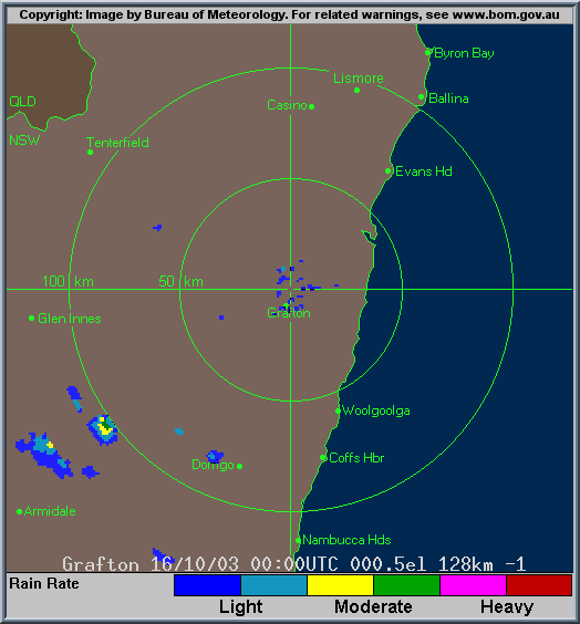
checked Grafton radar and there were echoes evident around the Dorrigo area.
I kept my eyes on development on radar and visually for the next hour and a half until 12 noon when a cell on the Richmond Ranges went red. With other cells in the red down south I decided to head out to Mallanganee for a look. My sister in law was trying to avoid doing an assignment so she came along as well!
The trip to Casino was encouraging, with
SMS updates from Michael that there was plenty of activity around including
cells in the red to the south, plus the sky to the W and S was very dark which
is always nice to see! We stopped quickly for lunch at KFC and headed west of
Casino and found a spot to watch the action while we ate. After eating we headed
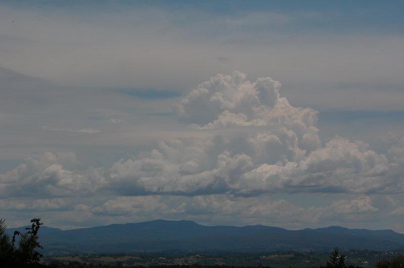
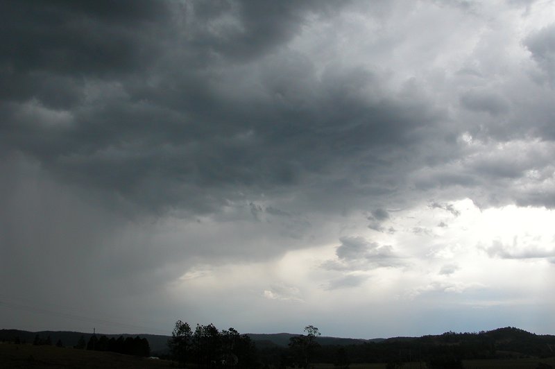
down the road a bit till we had a good view of a cell to our WSW. It was now
around 1.30pm. This cell was really interesting - it had a nice rain area surrounded
by a rain free area which had rippled cloud, somewhat like mammatus above it.
It wasn't like mammatus on an anvil though. Hard to describe, but it looked
pretty cool.
We moved a little further down the road to Mallanganee to watch the now really
close rain curtain. The cell was green on radar and looked pretty intense, but
there was no lightning or thunder. There was plenty of static on AM radio, however
I figured it had to be from the stronger cells to the south. These pics were
taken around 2pm.
We got some fat cold drops but that's about it. The rain curtain just didn't
move over us - everything was so slow moving! The only thing worth chasing appeared
to be the stuff near Grafton that was still red on radar. So we headed back
to the southern side of Casino near the old airport. We finally saw a bit of
lightning and the southern sky was very dark. After having a chat with Michael
I decided we'd meet up at my house and chase down Evans Head way to catch the
action that was to my south - a nice line of red near Grafton. I had to head
back home to drop my sister in law off for an appointment and the trip back
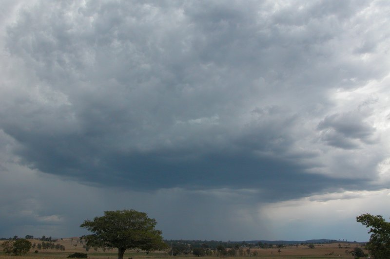
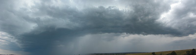
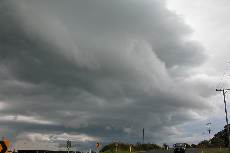
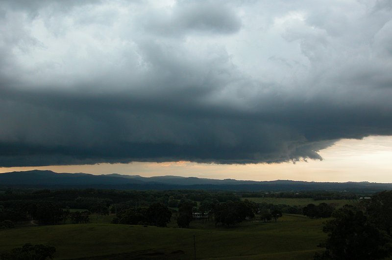
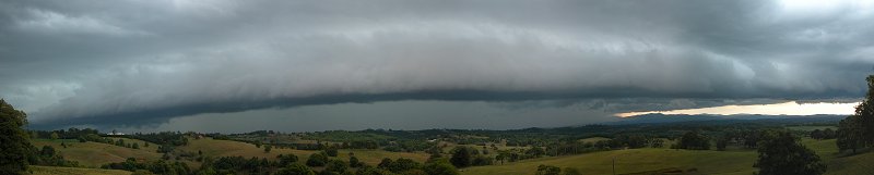
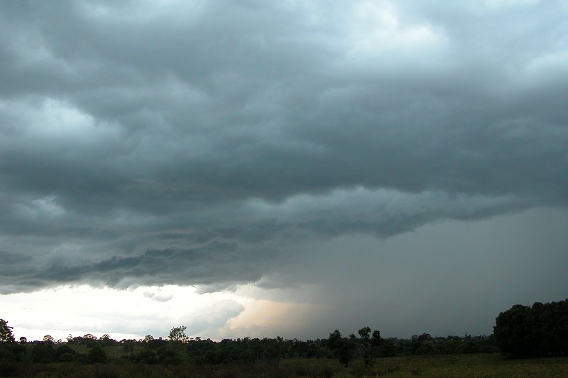
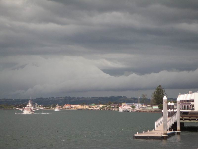
was painful! By Parrots Nest, it was evident a large line of storms was forming
and a gustfront had began to develop. I quickly stopped at 3pm for a panorama
before racing off for home.
Driving home was terrible - the usual busy traffic in Lismore had me stressed,
but I finally made it through (after being stuck behind a cattle truck and a
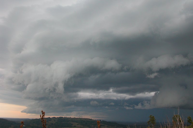
fire engine). The glimpses I got of the sky to the south was amazing - a very
long gustfront extended well to the south and stretched nearly right to the
north. I finally got home, threw my gear in Michael's car and we were off! The
sky was so dark to the west, and a couple of CGs were now dropping out of the
storms - bright white against the dark sky! We raced to the Southern side of
the Alstonville Plateau to where it drops away with expansive southern views.
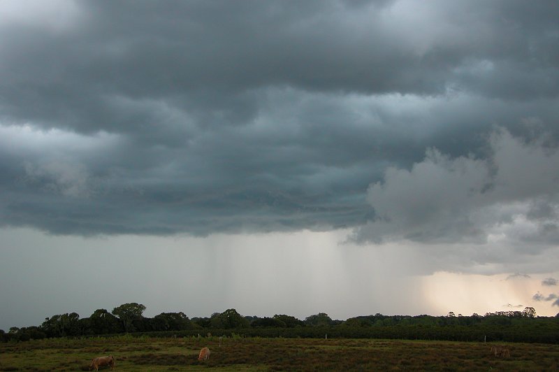
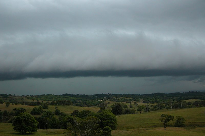
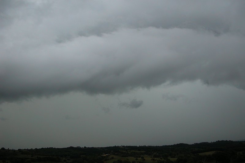
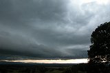
Sadly the guster moved over us before we got there at 3.40pm, so we didn't get
any good photos of that guster, however the cells were weakening and the precipitation
curtain was still a long way off. It was all pretty disorganised really.
We sat and watched for a while, enjoying the cracks of thunder and occasional
CGs. I ran up the road a bit to get a photo of the guster to the north and then
we decided that this would be the best spot to park the car as the precipitation
now stretched to the west.
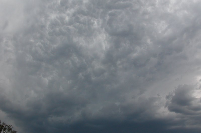
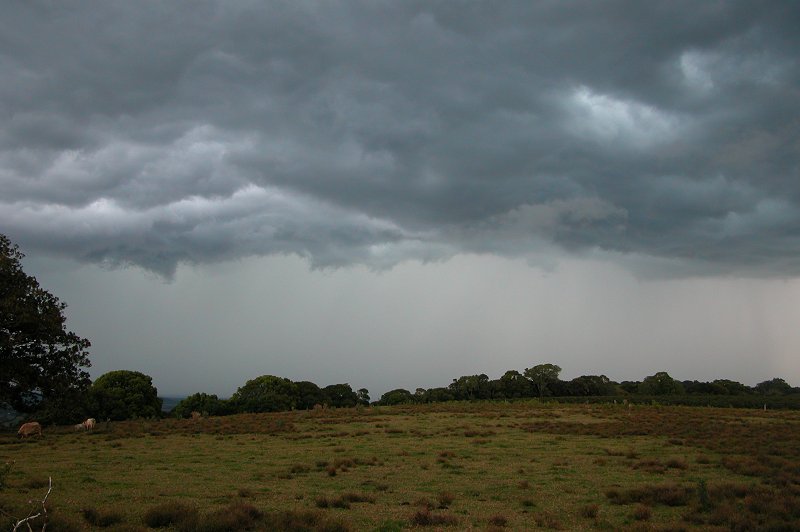
We watched the precipitation for sometime, with occasional lightning and thunder
still occurring. There was a green tinge in the clouds too, however it now wasn't
as dark as before. There was also quite strong outflow that was so cold!! I
had to sit in the car as I had no jumper and was freezing!
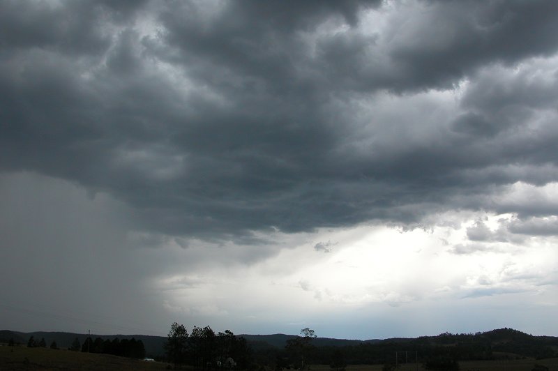
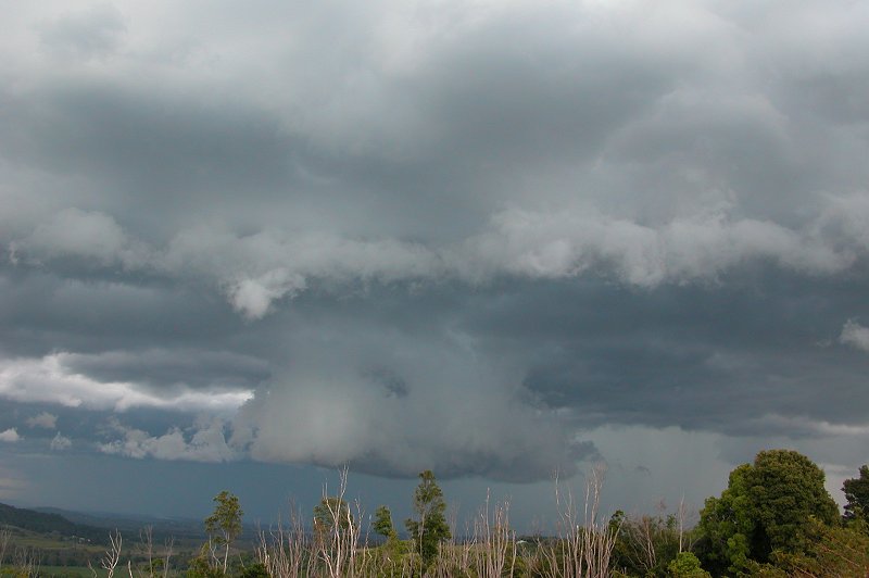
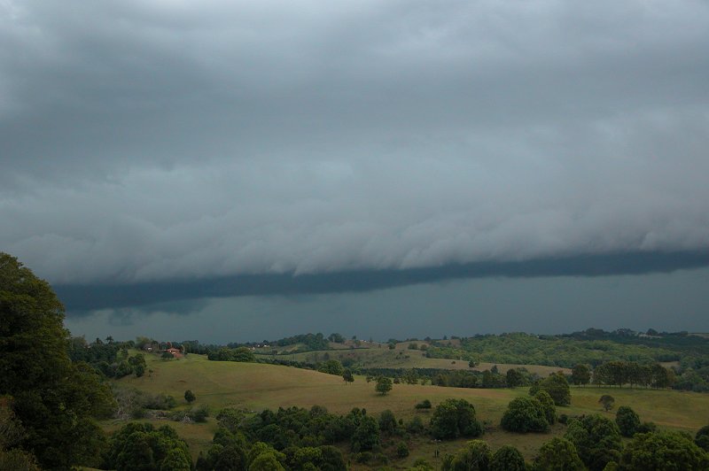
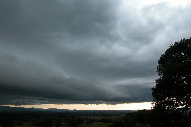
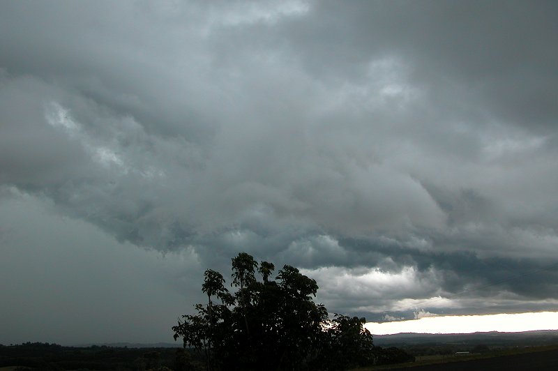
At around 4.10pm we concluded the cell was really weakening and a cell to the
NW was giving off much more frequent CGs and was very dark, so we headed for
the Northern side of the Alstonville Plateau. We stopped just a few hundred
meters from my home at around 4.20pm, observing the gustfront and heavy precipitation
from the WNW round to the N.
Lightning wasn't overly frequent, but there was still enough to be entertained.
This cell also had a green tinge too which came out nicely in the photos but
it was amazing how dark it was considering the sun didn't set for an hour and
a half. Once again the cell was very slow moving.
We continued to watch and enjoy the show, however
cold outflow winds once again left me feeling freezing cold!! The cell we had
watched was also approaching from behind us and was giving off infrequent lightning.
After a few last pics we drove up to my place at 4.30pm to watch the rain move
over and for me to get a jumper!
I quickly ducked out to the back of my house to
get a photo of the cell to my S and then returned to the front of the house
to watch the other storm. Everything was weakening now, but it did eventually
bring welcomed, steady rain. There was also some nice close CGs and CCs that
my Dad, Brother, Michael and I watched for a while to finish the chase. Certainly
was quite relaxing and enjoyable to just sit, watch and chat! A large rain area
developed over us at around 5.30pm and gave some heavier rain and regular lightning
till just after 6pm, before eventually clearing out for the night.
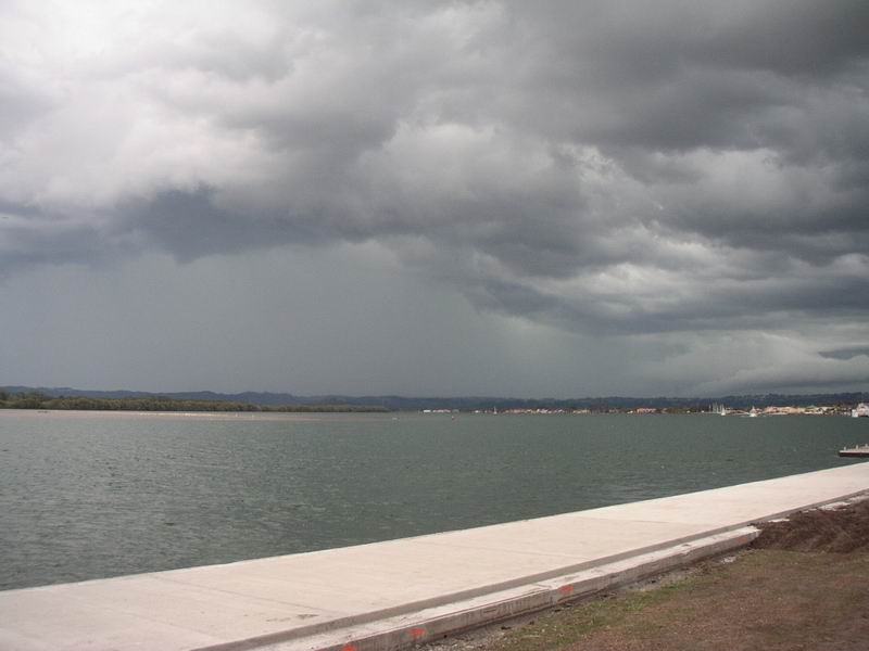
John Bath took these photos from Ballina:
Video footage taken at Wollongbar by Dave Ellem:
 Timelapse sequence [968kb]
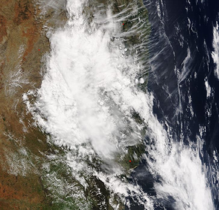
From Bureau of Meteorology.
MODIS image at 12.10pm local
From Bureau of Meteorology.
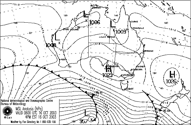
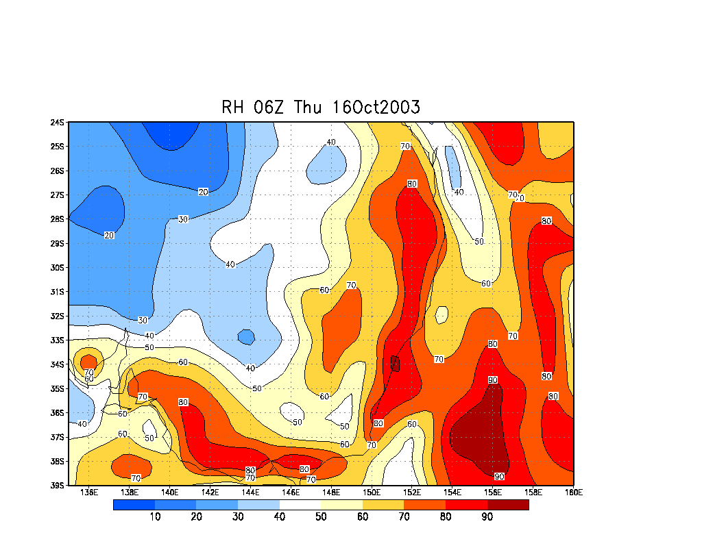
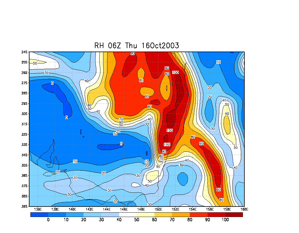
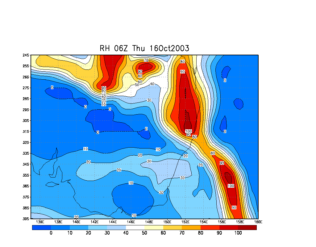
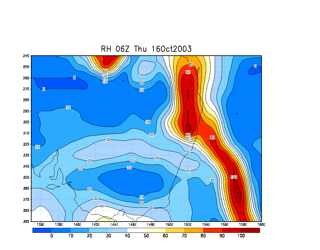
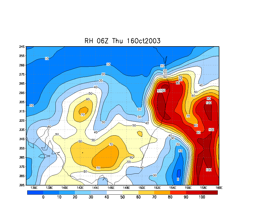
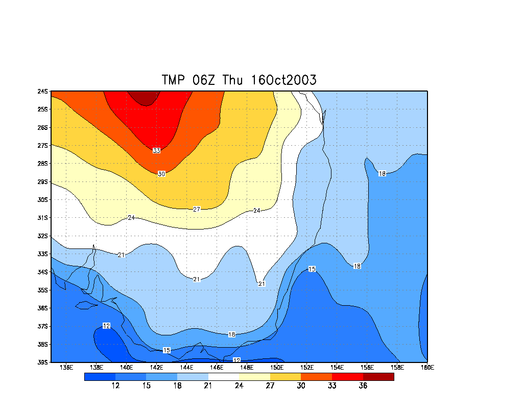
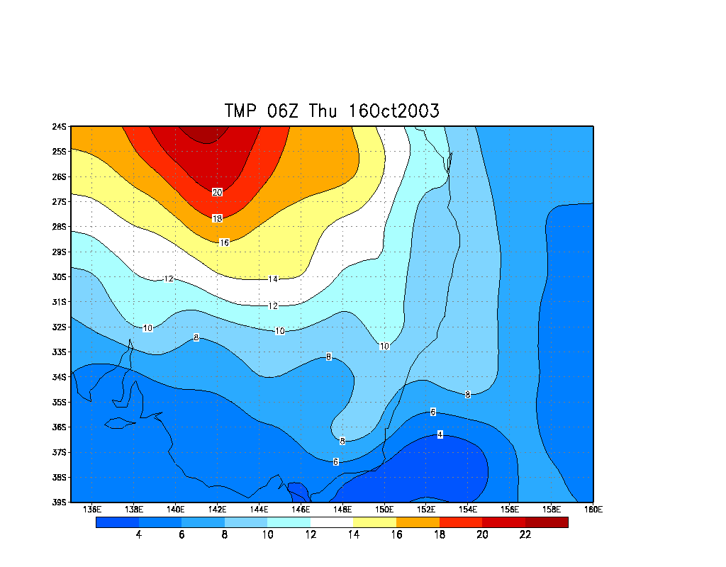
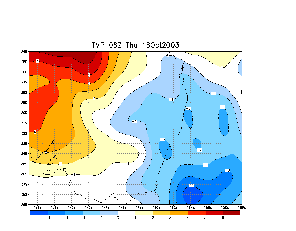
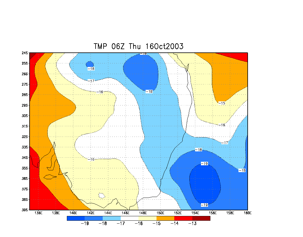
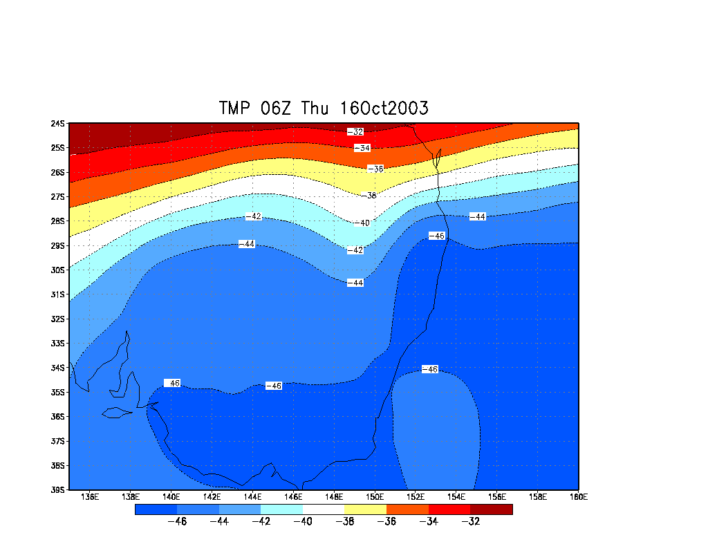
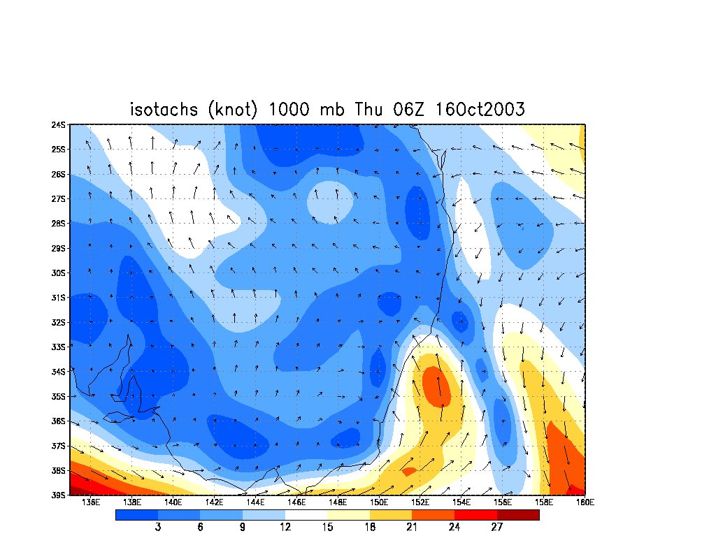
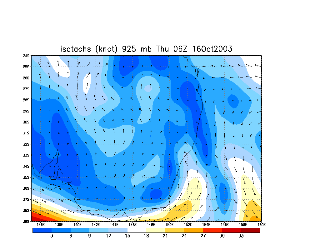
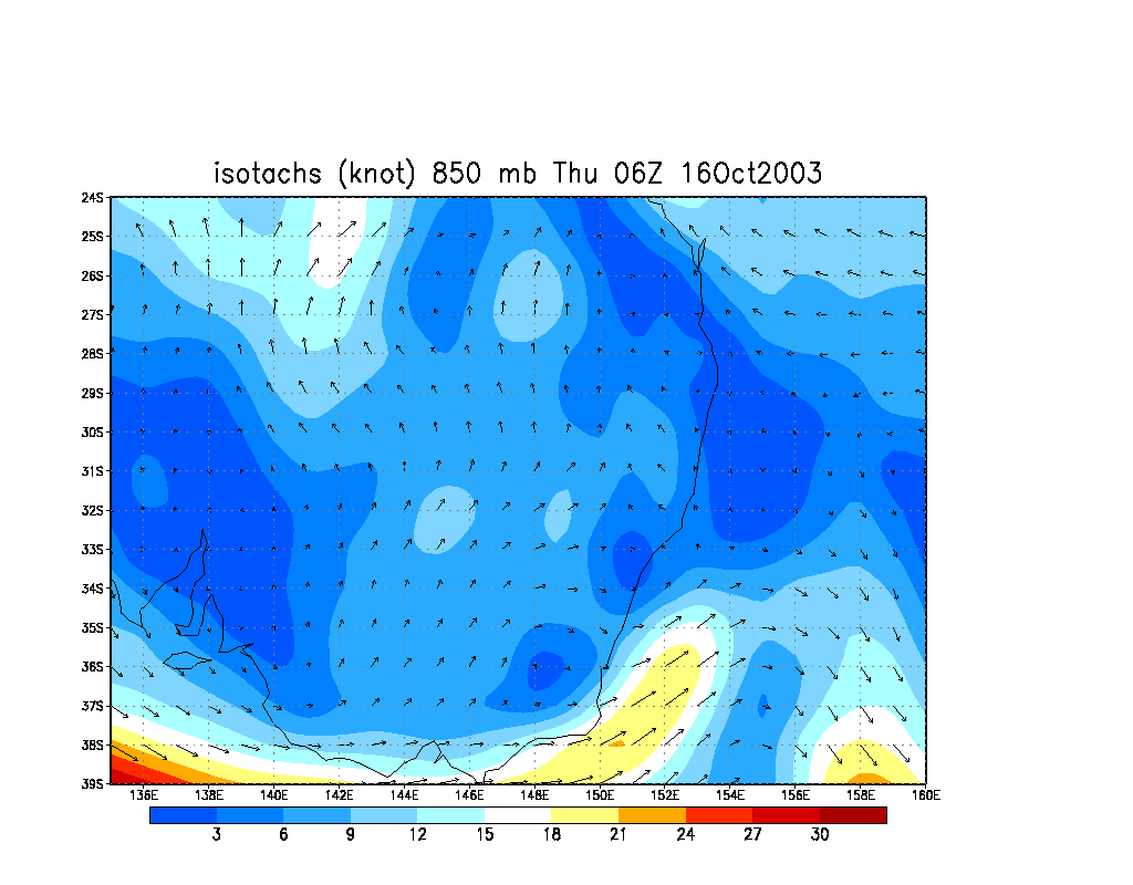
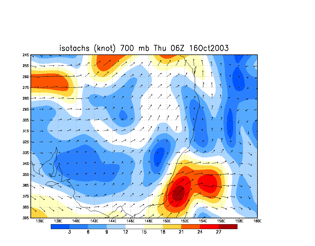
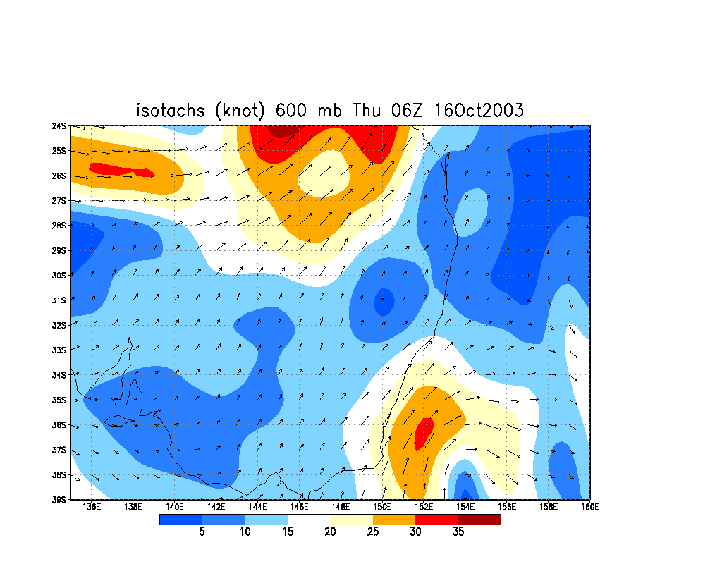
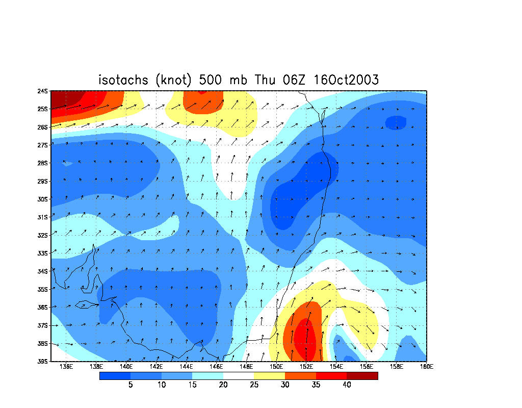
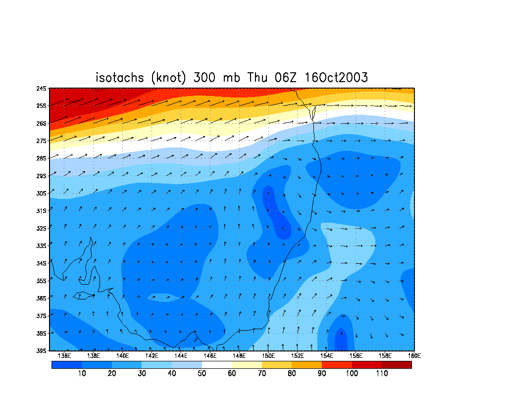
From NOAA 16/10/2003 06z analysis run
Report compiled by Dave Ellem and Michael Bath
|
Document: 200310-03.htm
Updated: 5th January 2006 |
[Australian Severe Weather index] [Copyright Notice] [Email Contacts] [Search This Site] |