I was fortunate to have an opportunity to spend 8 days in Darwin at the beginning of December. My reason for travelling was to visit my brother and of course the trip was timed to coincide with the build up of the monsoon. From late October and early November I had been worried that the smoke plumes from the fires in Indonesia may spread into the Northern Territory, and that the thunderstorm action would be obscured by haze. This did occur for only a week in early November but fortunately was not a concern by the time I arrived.
Saturday 29th November
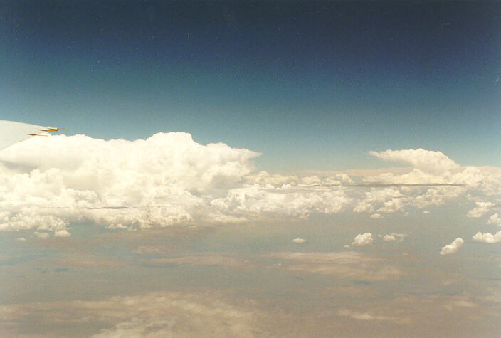
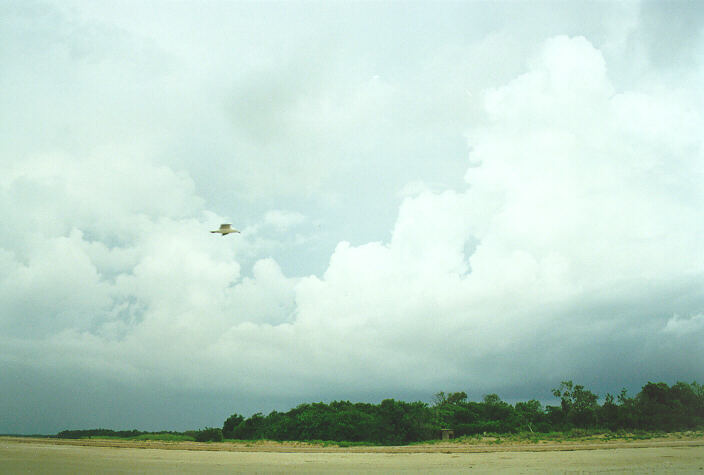
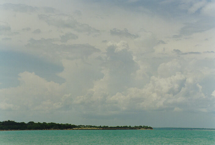
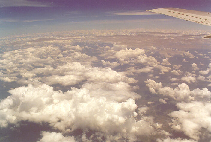
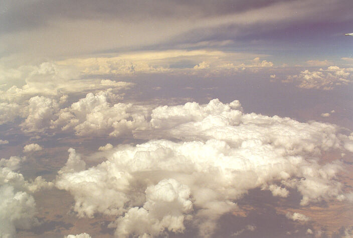
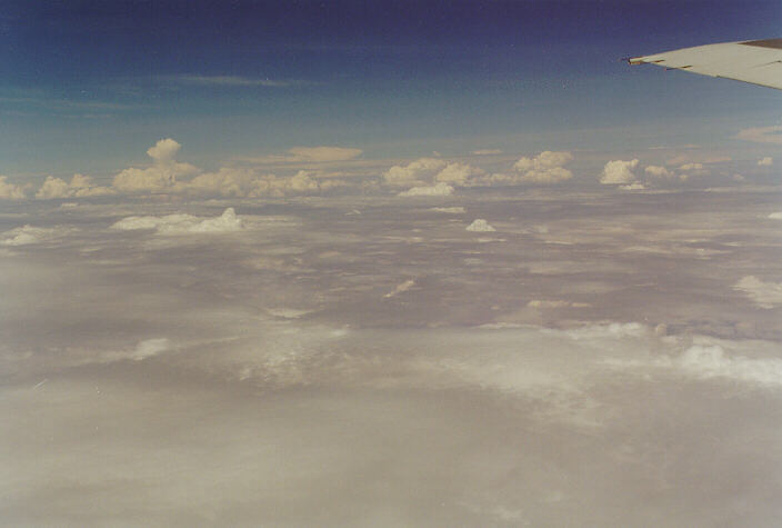
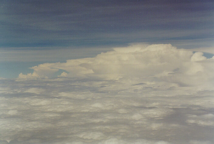
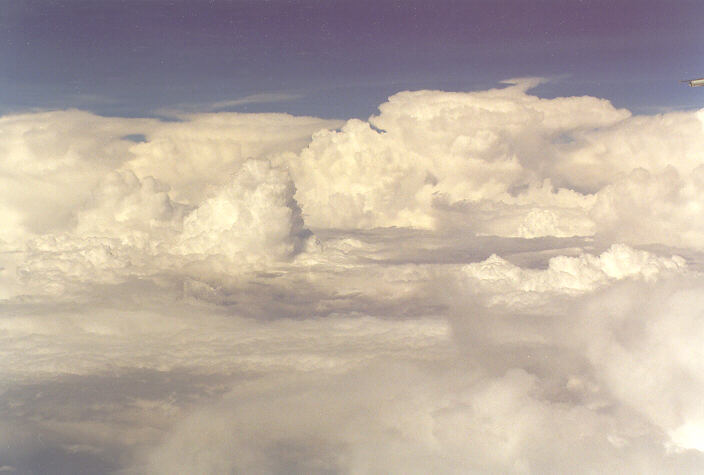
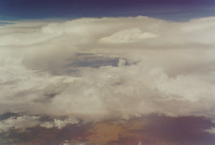
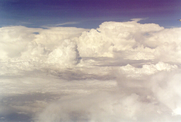
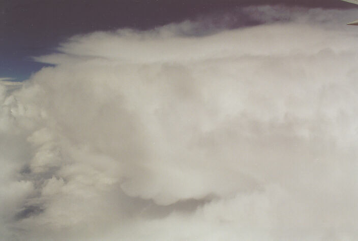
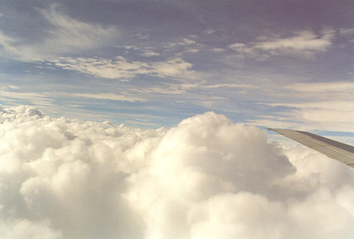
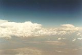
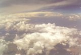
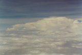
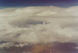
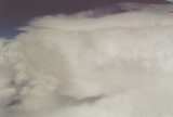
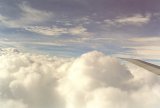
The aircraft departed Sydney at 9am into a thin stratocumulus layer - this only extended to the western part of the Blue Mountains then it was clear. Some altocumulus patches to the north were the only clouds I observed prior to extensive cirrostratus most of the way to Alice Springs. There it was hot, humid and mostly cloudy with a hint of possible storms later. The plane departed at noon local time and headed due north. As soon as we had passed through the altocumulus and cumulus cover, cumulonimbus tops were visible on the horizon to the N and NE. The flight was over cumulus nearly the whole way with occasional cumulonimbus clouds extending into the upper half of the troposphere. It was quite interesting to observe the upper parts of a storm cloud as we slowly passed them. One in particular had a sharp anvil spreading to the northeast virtually at the same height as the plane was flying. Upon decent into Darwin, I noticed the aircraft veer to the NE then to the NW. Glancing through the cabin to the west I could see the reason - a very large mature thunderstorm. We soon passed this and landed at 1.40pm local time. It was very warm and very humid with mostly sunny skies and just the large cumulonimbus we had passed earlier to the south and some more large cells off to the north.
Sunday 30th November
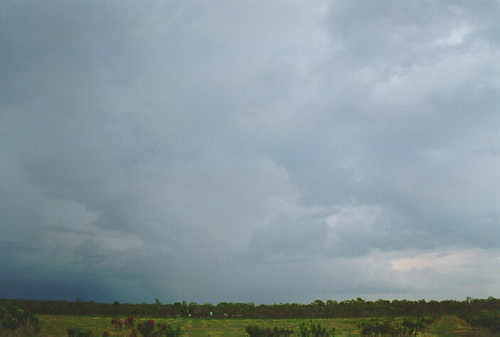
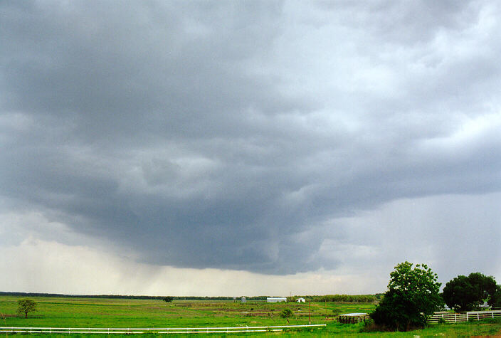
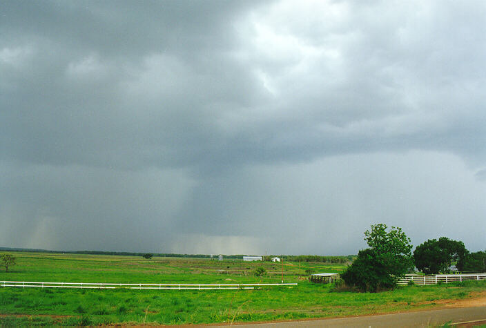
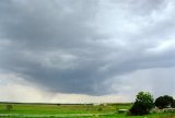
A cloudy morning consisting of cumulus cleared to sunny prior to some large cumulonimbus developing to the north and south of Darwin. During the late afternoon an active cell dominated the area near Berry Springs, about 50km south of Darwin. Base lowerings with scuds and a very dark solid tower was observed. A possible microburst occurred to the west. Frequent cloud to ground (CG) strikes occurred as the cell approached from the south, but it had mostly dissipated by the time it reached us and just gave some brief heavy showers. It remained very warm and humid into the evening with one or two distant lightning strikes about at first.
Monday 1st December
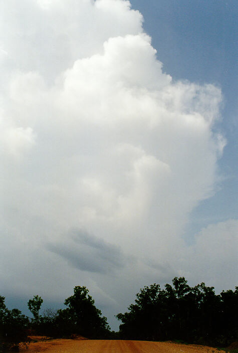
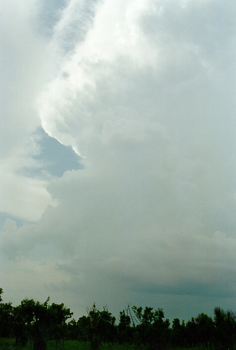
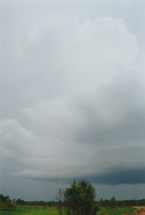
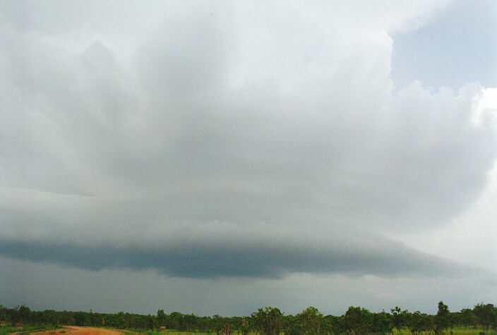
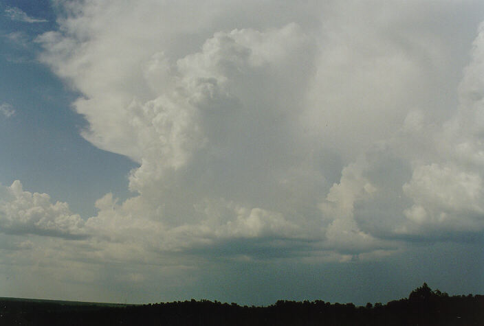
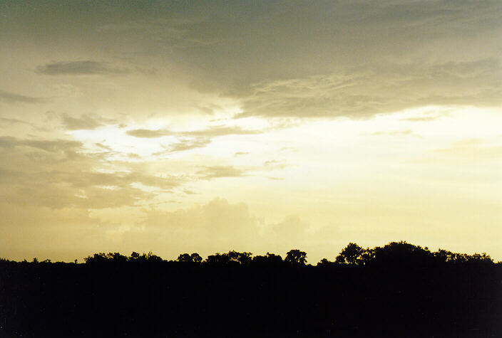
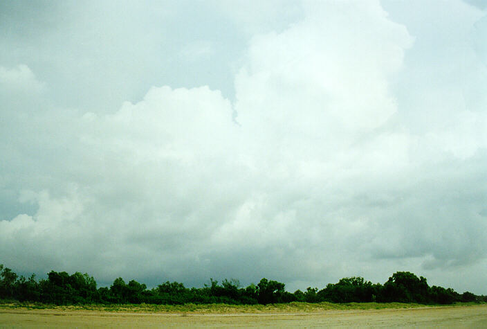
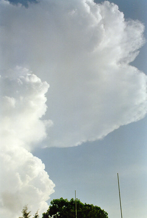
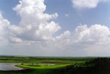
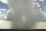
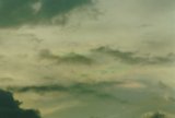
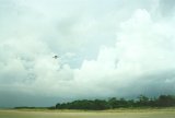
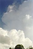
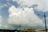
It was hazy this morning with large cumulus about. As my brother and I headed into Litchfield Park mid afternoon several storms developed in a line from west to north (south of Darwin). These grew rapidly into very large cells with tops probably extending 18 - 20 km high. It was an awesome site as one cell to our near north (behind the direction we were heading) dominated and started to spread out at the top and the base. A shelf cloud spread south towards us as the cell grew. Thunder and lightning became more frequent, and with the tranquillity of the surrounds we were in, and the late afternoon sun, it was a pleasure to watch for about an hour. We were on the northern entrance road into Litchfield Park, which is a dirt road with very little traffic, so were not disturbed the whole time the storm put on the show. We headed off at about 5.30pm to Wangi Falls to camp.
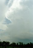


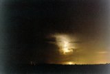
As the sun set lightning could be seen pulsating out of the southeast. We decided to find a vantage point and try a get some photos about 9pm. The sealed road out of Litchfield heads east then northeast through the plateau part of the Park. We couldn't find a very good spot, so we just stopped in the middle of the road where we could see the storm tops and watching strobing clouds to the southeast for over an hour. Not one vehicle passed us during this time.
Tuesday 2nd December
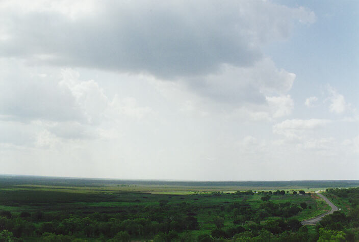
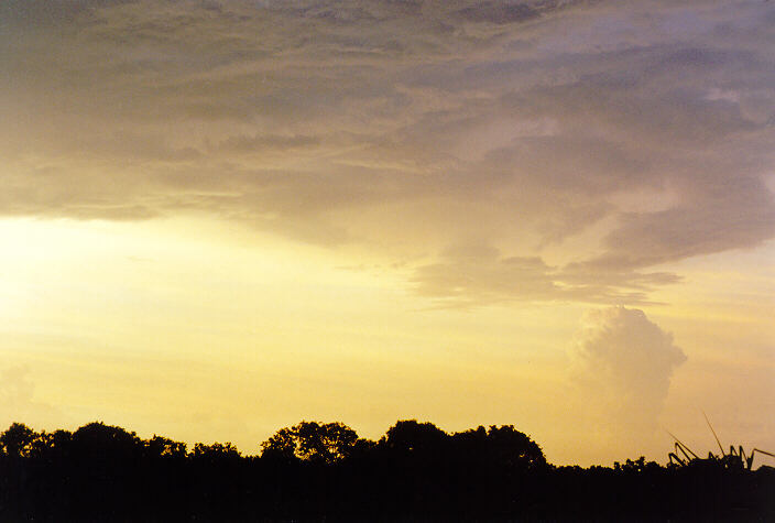
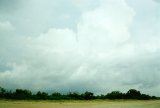
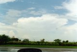
It was actually hot today - probably about 36 degrees, which is as hot as it gets near Darwin. Scattered cumulus were the only clouds until mid afternoon both in Litchfield Park and areas to the north and east where we headed. Window of the Wetlands (a National Parks building about 70km east southeast of Darwin) on the road to Kakadu was our rest location from mid afternoon. What a location - the two story building is on the only hill in the area, is air-conditioned, and with its roof sloping upwards, has a panorama of the countryside and sky!
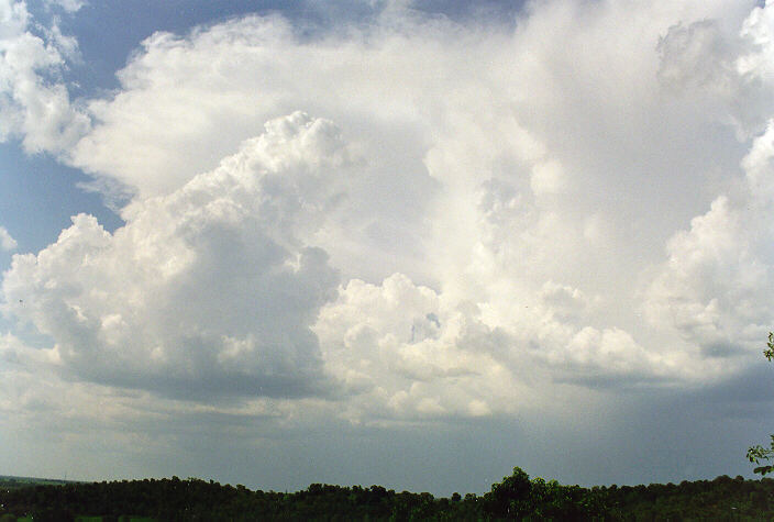
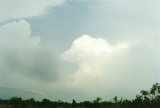
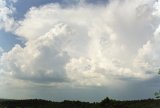
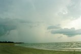
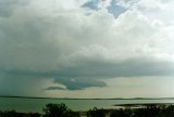
Thunderstorms began to develop just as we arrived at 2pm. With large cells to the south and north, and a giant column of cloud developing just to the west, it was just fantastic. Convection occurred along a line joining the cell to the north with the one to the south, as the tower outside the building to the west started to shoot some lightning bolts and precipitate. Its cascade of rain spread virtually from the anvil to the base - it was like a waterfall.
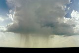


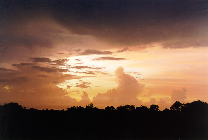
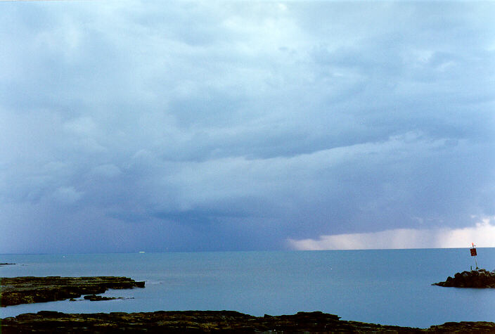
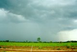
After two hours at Window on the Wetlands I decided we should leave and move north as a very active cell that had developed along the convection line started to move or propagate westwards. The area would soon be enveloped in heavy rain and spoil the view. We wanted to move on to Fogg Dam anyway. We stopped just nearby and watched the rain and lightning spread closer - it was intense rain, spreading out like a microburst, with severe CG strikes occurring every few seconds. The storm caught up with us while driving north. Very heavy rain and close lightning soon passed over us and headed west.

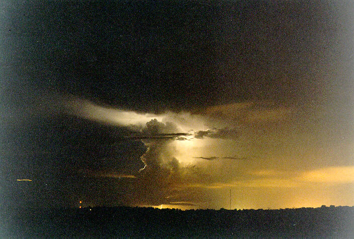
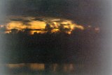
At Fogg Dam we stopped at an observation deck as the sun started to set, and anvil crawlers occasionally illuminated the storm now to our west. Some further weak convection nearby persisted but did not develop into storms, however some large cells to the far east started to give a show once it was dark enough. Unfortunately some dead convection east of these cells spoilt the photographs, but just watching the constant lightning across the wetlands well into the evening was beautiful. The lightning continued into early the next day.

Wednesday 3rd December
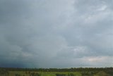
It was a mostly cloudy day with a thunderstorm in the northern suburbs of Darwin from 10am. It persisted for about half an hour with just a little thunder and lightning observed. It was not spectacular due to a lot of other cloud about.
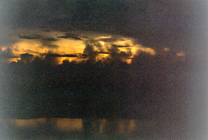
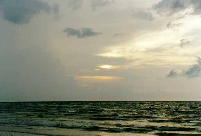
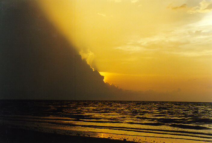
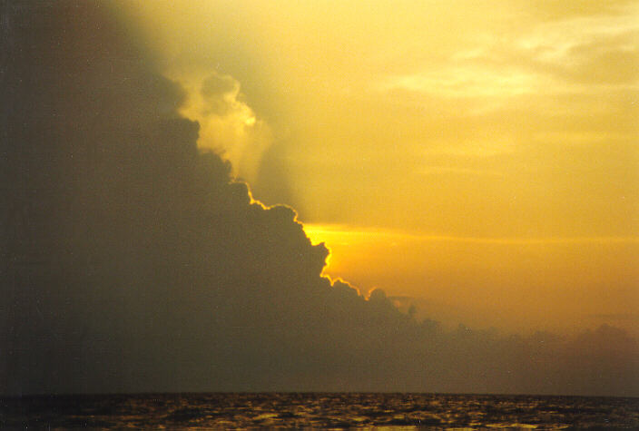
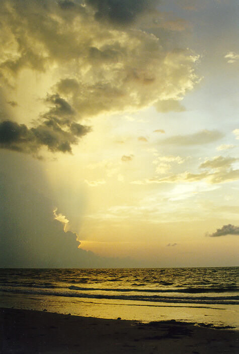
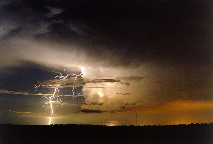
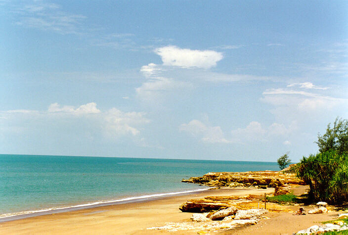
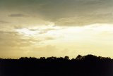
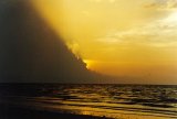
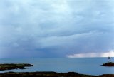
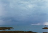
Late afternoon a storm developed southeast of Darwin and slowly edged towards town. We went to Lee Point - the most northern point of Darwin - to observe it. The sunset across the sea, behind the edge of a storm to the distant west, gave a great show as the storm to the southeast moved closer to us. Billowing cumulus developed ahead of the main cell, and CG's started to occur fairly close to us. At 7pm we made a dash across the beach back to the car as the lightning was getting too close for comfort. Just south of Lee Point the storm passed overhead with heavy rain and lightning. Very occasional distant lightning flickered until 9pm when a single bolt cracked down right next to the house with an instantaneous crash of thunder! No more lightning was seen, nor thunder heard after this strike.


Thursday 4th December
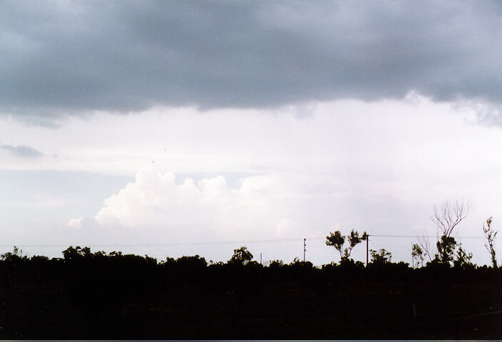
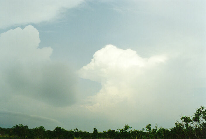
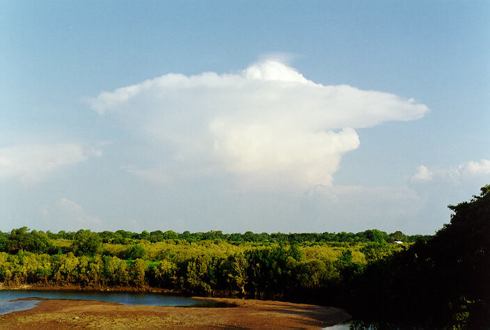
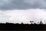
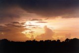
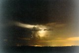
Some early thunder cleared to a hot mostly sunny day, with just some high cloud and distant cumulus persisting. A small isolated thunderstorm developed to the east late afternoon. It had a nice structure similar in shape to a nuclear bomb blast - the top spreading out in all directions. Fortunately this small cell persisted into the evening and virtually did not move. This gave an opportunity for lightning photography, which resulted in a nice shot taken from near Lee Point.

Friday 5th December
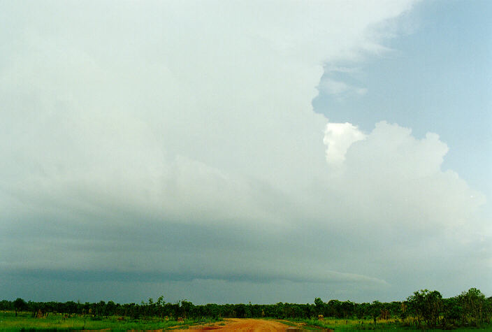
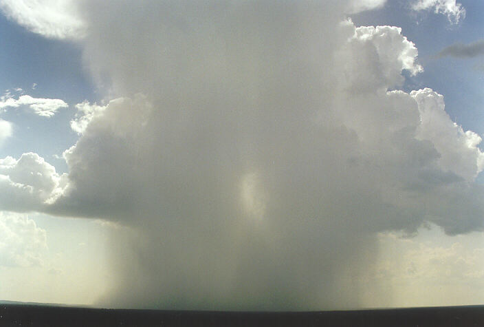
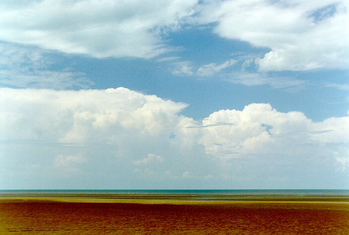
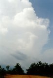
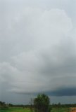
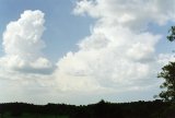
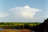
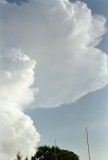
A huge cumulonimbus greeting me this morning - thunder and a twin tower shooting 20km high was a nice start to the day! After this dissipated late morning, sunny conditions remained until heavy storms developed about noon. This was really the only 'wet' day while I was in Darwin - about 50mm fell in a thunderstorm over 2 hours. After the storm cleared, chaotic skies dominated. Extensive altocumulus, areas of cumulus congestus, some cumulonimbus, and high cloud occurred. At Howard Springs southeast of Darwin it was actually quite mild for early afternoon - the storm that had occurred there, and persistent cloud afterwards, had cooled the temperature to about 26 degrees. It warmed up again towards evening.
Saturday 6th December
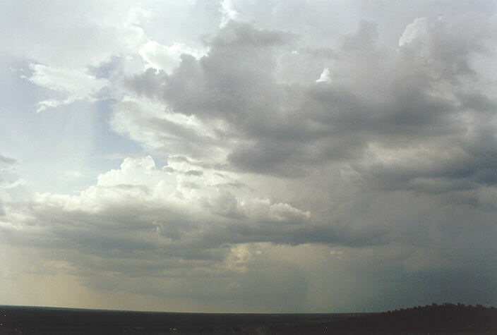
Hot partly cloudy conditions with extensive cumulonimbus activity to the north over water were the feature of most of the day. Isolated cumulonimbus developed late afternoon and spread over Darwin, but with only light falls. Lightning occasionally occurred from a cell into early evening, but it was not frequent enough to photograph.


Sunday 7th December
Isolated cumulonimbus developed in a field of cumulus from the time my flight departed at 11.50am. It was a direct flight to Sydney passing over southwest Queensland. I made sure I had a good window seat on the left side of the plane, as I suspected storms would be dominate in southwest Queensland and further east.
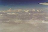
Isolated storms popped up above the cumulus for the first hour and a half. Storms then began to dominate the sky - so much so that the pilot had to dodge cells. It was like flying through mountains! We were in SW Queensland and my forecast had been correct, and looking out the other side of the plane there was far less activity. After about half an hour of this, we moved into altocumulus/altostratus, which persisted almost to Sydney, where two thick layers of cumulus were. Light showers and strong southerly winds were a big contrast to the humidity, warmth and instability of Darwin.


Concluding Observations
Features I observed in most of the tropical thunderstorms in and around Darwin:
* the anvils were generally small and spread out in all directions - circular
* cells were slow moving
* cells were very large from base to top - some probably 20km deep
* storms developed to the southeast of Darwin (up to 100km away) and headed northwest or stayed put. I suspect this region to the southwest of Darwin would receive the most storm days
* storm bases took on severe weather features that we see in Sydney. e.g. lowered sections, shelf clouds, microbursts. In fact, near and at Wangi Falls there was evidence of 60-70 knot winds within the past two weeks: some large trees had been felled; others with large branches snapped and twisted off.