and Chasing
[Index][Archives]
Early Season Storm Chase: Wednesday 20th September 1995
by Michael Bath
| Storm News and Chasing [Index][Archives] |
Early Season Storm Chase: Wednesday 20th September 1995 by Michael Bath |
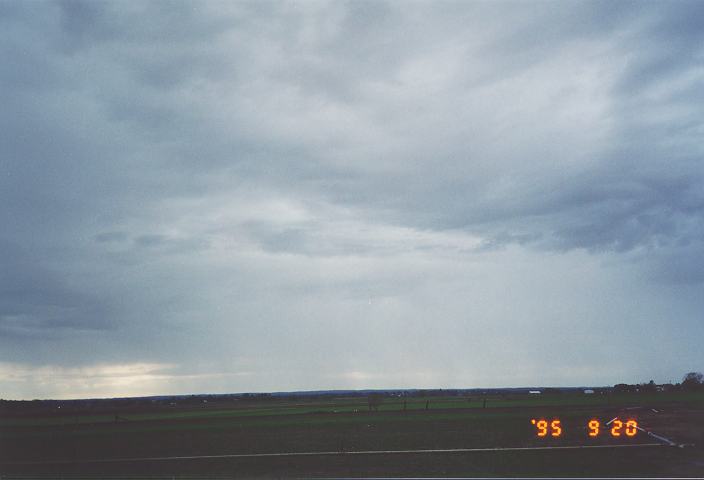
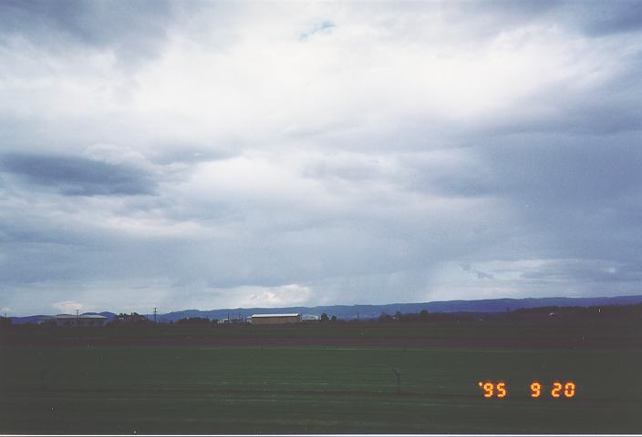
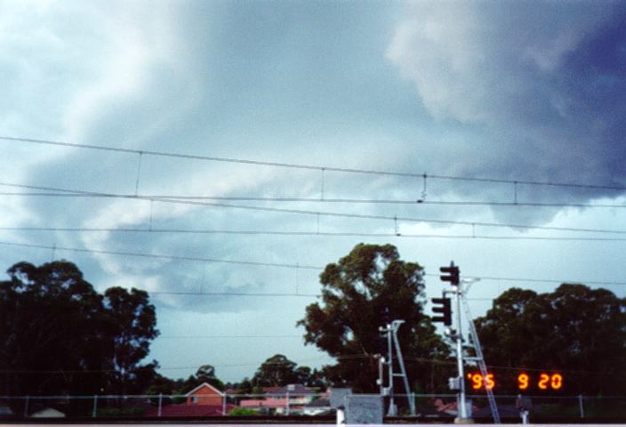
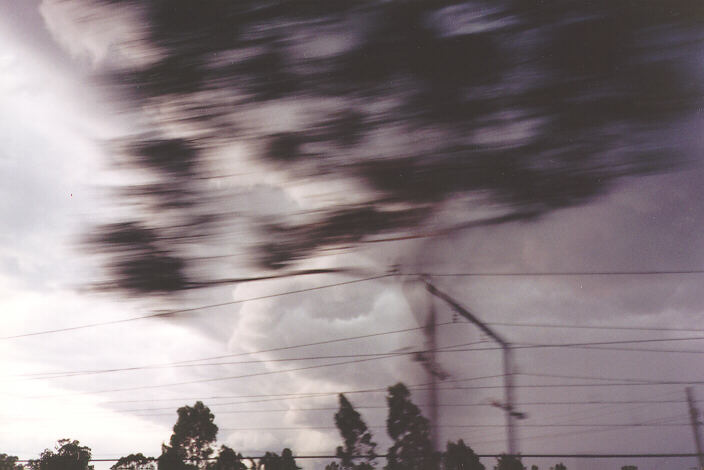
Jimmy initiated a storm chase by around 4pm after the main anvil was observed extending far to the east. I was at work and it takes about 40 minutes to get home from Parramatta. The speed that the band of rain and storms advanced surprised us both - approximately 50-70km/h in an easterly direction. By the time I got off the train at Mt. Druitt at 4.40pm there was only a minute or two before a spectacular squall hit. Jimmy picked me up just as winds of about 70 - 80 km/h hit with brief bursts of moderate rain. We rushed back to my place at Oakhurst in steady rain and strong winds. We watched as the thunder, lightning and rain moved away to the east. We weren't in the right position this time, but fortunately my wife, Alison had captured almost the entire event on our video camera.
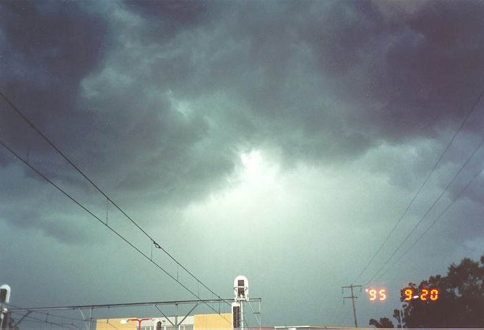
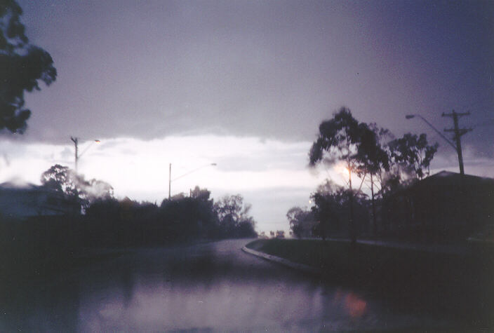
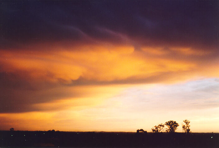
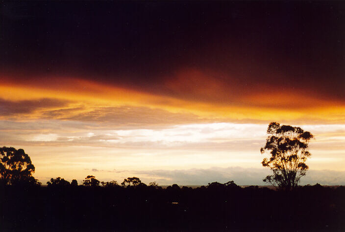
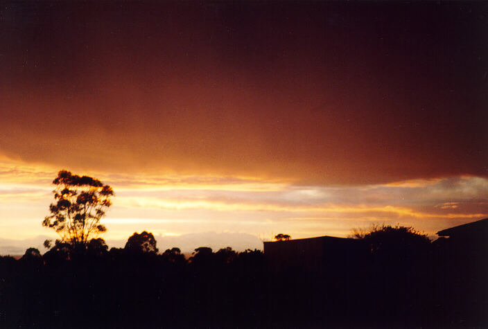
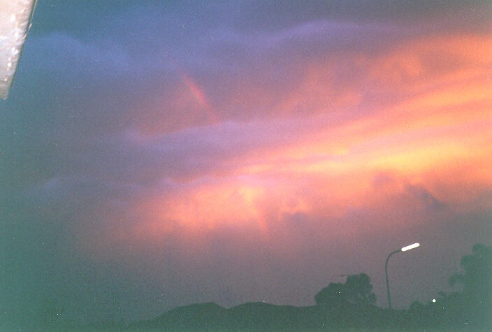
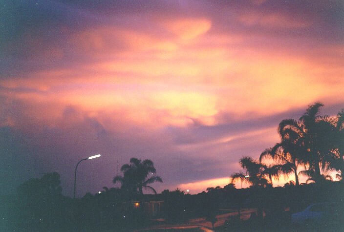
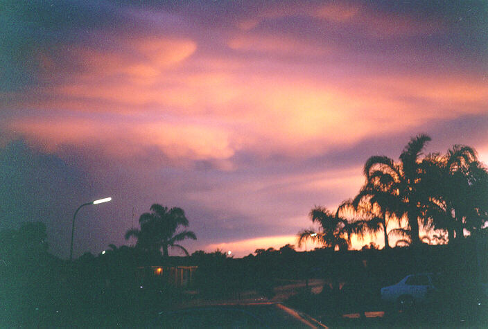
The storm chase was called off as we were too late this time, but we decided to go to Jimmy's place at Schofields to get (hopefully) some lightning pictures from the rear of the storm band. The video was set up but only a couple of bolts were captured. It was now about 6pm and the sun was setting. This lit up the receding storms showing interesting mammatus clouds with further lightning.
The storm caused blackouts to approximately 90,000 homes in the Northern Suburbs when lightning hit an electricity substation. This bolt was about 10km ahead of the squall cloud Winds reached 90km/h in some areas and some small hail was reported at Colo.
|
Document: 9509-01.htm
Updated: 5th April, 2004 |
[Australian Severe Weather index] [Copyright Notice] [Email Contacts] [Search This Site] |