Hi,
Chase Report January 28th 2010 Western Sydney to Colo Heights Putty to BulgaIt was an agnising wait and a frustrating day. We had the ABC guys with us and this definitely impacted on making my typical quick decisions. With David Croan covering southern Western Sydney, we covered the NW part of Sydney.
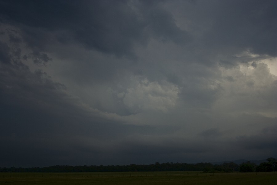
Finally the first storm anchored into the flow and that was the first supercell approaching the Hazelbrook region. (Unconfirmed reports of hail to the size of oranges). This supercell was nicely structured and had a very interesting radar signature for some time before meeting its demise.
Note the beaver tail - would have looked better if it was not cloudy and also the second supercell forming nearby.
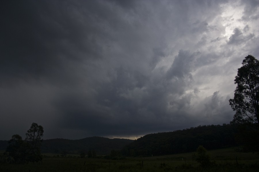
We never moved fast enough with the crew trying to get shots of a weakening cell so we had no chance to pace through the annoying traffic jams of Richmond to get to Colo Heights. We did make the back of the core and passed through a possible hook echo and filmed possible base rotation. I am just waiting on Harald Richter and the time of his observation of low level rotation based on doppler. This radar scan best matches the time recorded on video. There was intense lightning suggesting a stong mature updraft and a sudden stop from hail to fluctuating winds.

We followed this storm in search of next cell near Putty that merged into the complex.
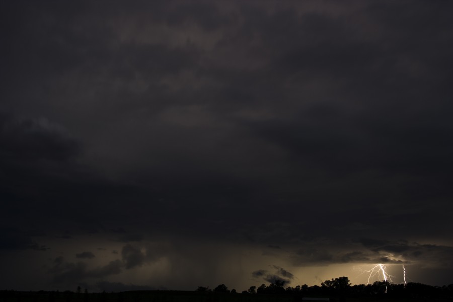
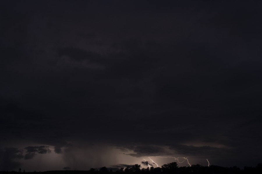
Eventually after more filming of this storm, we made it out of the Putty Road near Bulga where was noted low base levels and a line of storms. We once again missed the opportunity to get onto the cell near Branxton which was very electrically active. With the ABC crew finally departing for the night, we took some lightning shots and headed back to Sydney.
My predictions were for hail of cricket ball sized or larger so it will be good if we can get confirmation about the hail sizes.
Hail stripped leaves and bark was noted in Colo Heights - hail was still lying on the ground at the end of this hail path where likely large hail perhaps to at least 5cm had fallen. We did not stop due to intense rain and trying to move on ahead of the storm.
Regards,
Jimmy Deguara


