What an awesome storm -
Chased with Jimmy and Paul and later met up with Jeff and Matt.
Highlights:
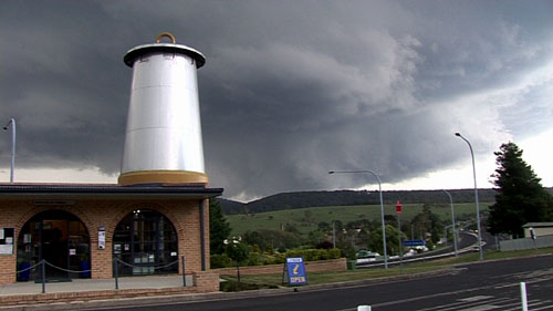
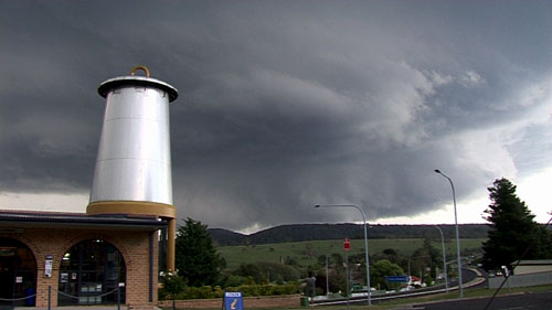
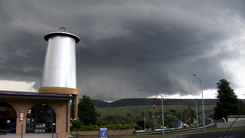
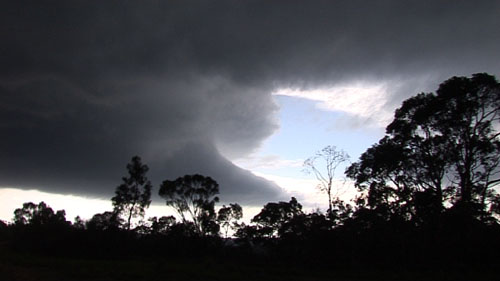
- slow moving classic supercell that initiated west of Lightgow (south of Bathurst).
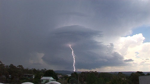
- observed violent (dont use the term lightly either and compare this with tornadic storms I have seen in the US) storm scale rotation at lithgow. [gate to gate shear would have been impressive no doubt]
- numerous wall clouds (and IMPRESSIVE tornado wannabes)
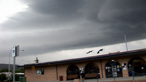
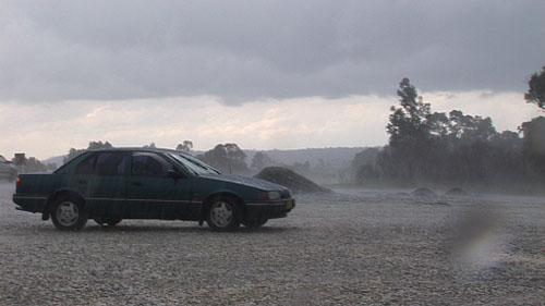
- measured 6 cm hail that fell on us as we were under the vault just south of Lithgow.
- observed another impressive, HP storm that eventually merged with the classic storm. Trees limited the view of this one although the structure was absolutely green and VERY interesting (see last pic below).
- impressive lightning
- Video stills below.
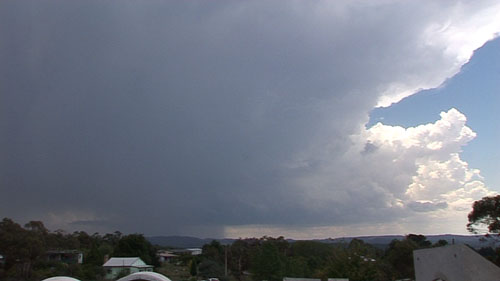
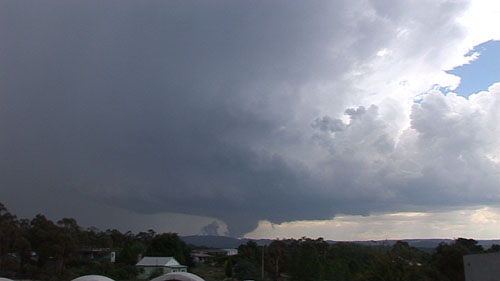
cell early on
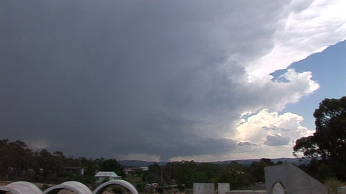
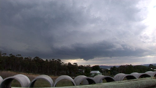
more impressive
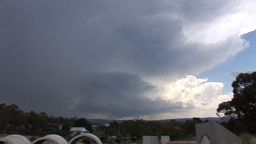
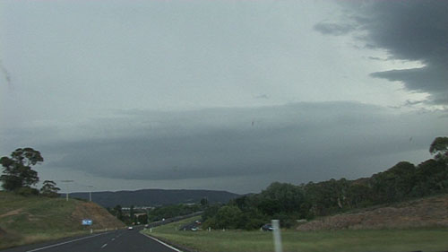
better still
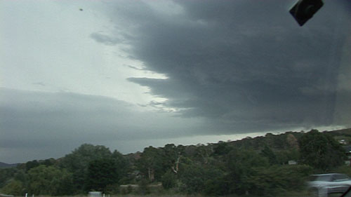
what the....
weakened a little and reorganised and base lowered
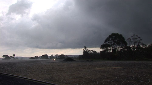
Heading east towards Lithgow...beaver tail ahead
multiple inflow bands and beaver tail meet the supercell base
At Lithgow, storm above was VERY impressive now (needed fish eye lens but video will be amazing
beaver tail / updraft base interface
rotation was even more incredible here. Jeff has a shot looking north at what was above us
hail begins falling from the vault above us
we copped a hiding from this giant hail - 6cm measured and which Jimmy reported to the BoM
green hp (suspect) through the trees - you be the judge of the 'funnel'. This storm was also amazing but we could not get a clear view before it rolled over us.
Enough from me. I'll let Jimmy and Paul posts some pics and their impressions of this memorable chase. Will throw some flash video up soon.


